Triangulation Peak is a popular summer hike destination with a weekend procession of sandal-wearing hikers, small children and dogs. It's about two miles and 800 feet of gain and has fantastic views of Mount Jefferson and many Cascade Range peaks. More info here: www.nwhiker.com/Triangulation.html.
Proceed about 1.7 miles east of Idanha, Oregon (~Main Street) and turn north onto FS-2233. Follow the main track of this paved road that eventually turns to a nice gravel road, suitable for any vehicle. You might make note of the signs for Timber Butte and Outerson Mountain - two other easy summits worth activating when you do Triangulation. After about 7.9 miles, turn right (east) towards Triangulation onto FS-650. After about 1.3 miles you'll come to a junction where the right hand branch has parking for the Triangulation Peak trailhead (the left branch continues to Outerson). It's best to park near this junction and the trailhead. You can continue down the road to the trail, but we recommend starting at the trailhead there in the parking area. Required wilderness permits (free) available at the trailhead kiosk (44.7216°, -121.949°).
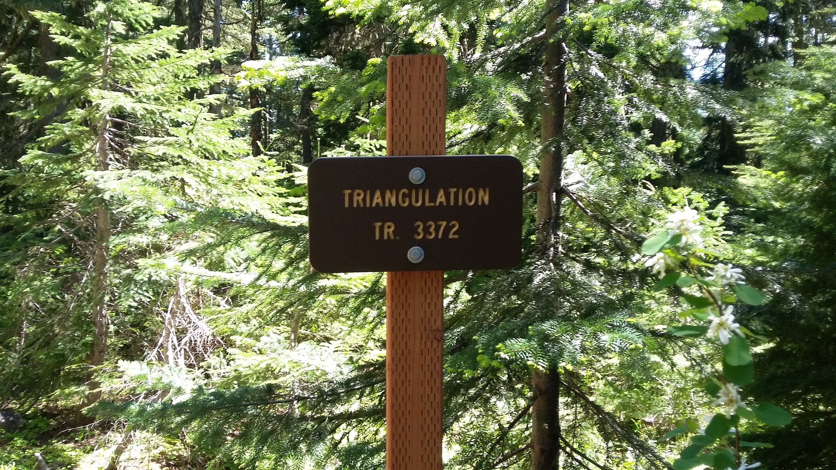
Trail #3373 starting from here is nicely graded for the first 1.5 miles but does have more than its share of downed trees. Continue to the junction with Trail #3374 where turns uphill in switchbacks, gaining altitude to the summit over then next 0.5 miles. At the summit there is a flat, treeless area where the old lookout was located and a short trail to what may be the true summit on a nearby rock scramble. It may be a bit challenging to find a spot to activate out of the way on a busy summer weekend. There are a few medium-sized trees for antennas.