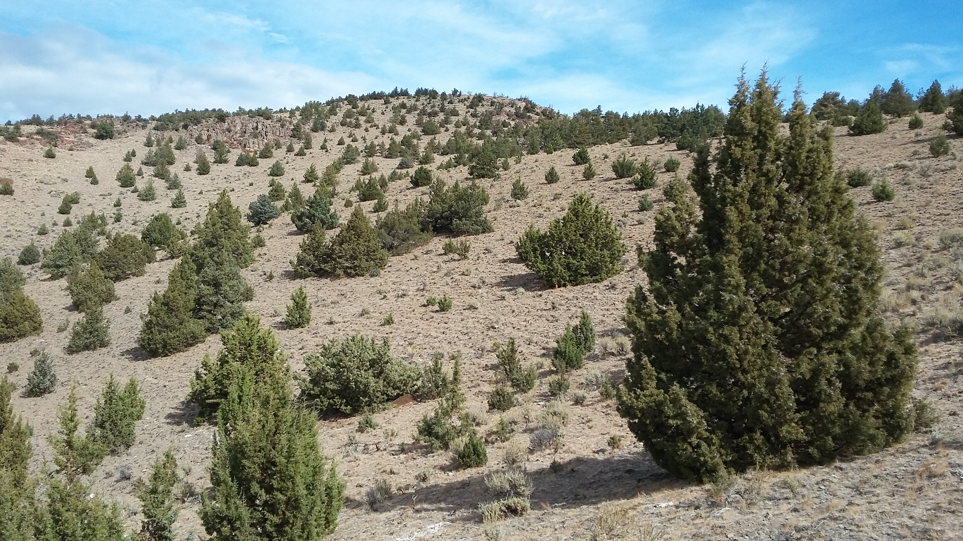
Here's a quiet Central Oregon summit for those with a high clearance vehicle - or anyone that wants a bit of hiking as one could walk the rutted dirt road or even go directly cross-country to the summit (although direct would be a bit steep).
Drive Highway 97 about 12 miles south of Madras and turn west onto Monroe Lane. Go about 0.8 miles to where the road bends slightly and take the dirt road veering north. There is a gate there that was open on my visit, but it was found closed in another trip report description. Proceed west on this rough and rutted dirt road 1.9 miles to where the road splits near 44.479° -121.230°. The road to the left ends and would be a good place to park, as you will need a seriously high clearance vehicle to continue on the road to the summit from here.
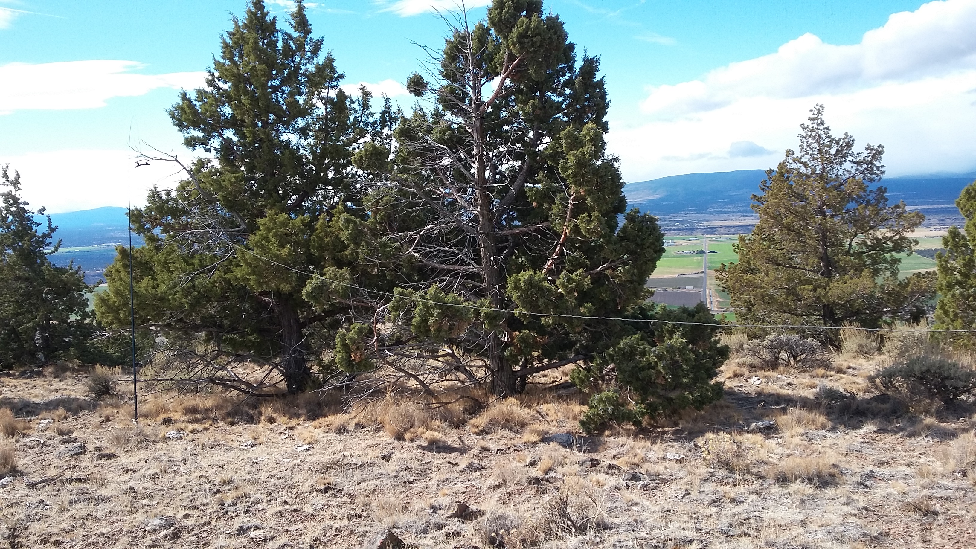
This rough road continues about 1.3 miles to the summit of Juniper Butte. I found plenty of juniper trees (no surprise) to support an HF antenna and good propagation to Bend on VHF (although 156.52 doesn't seem to be broadly monitored in Central Oregon). You might also consider W7O/CE-074 - Round Butte a few miles to the north. Haystack Butte to the east does not appear to be accesible.