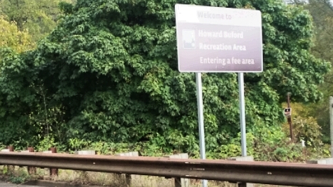
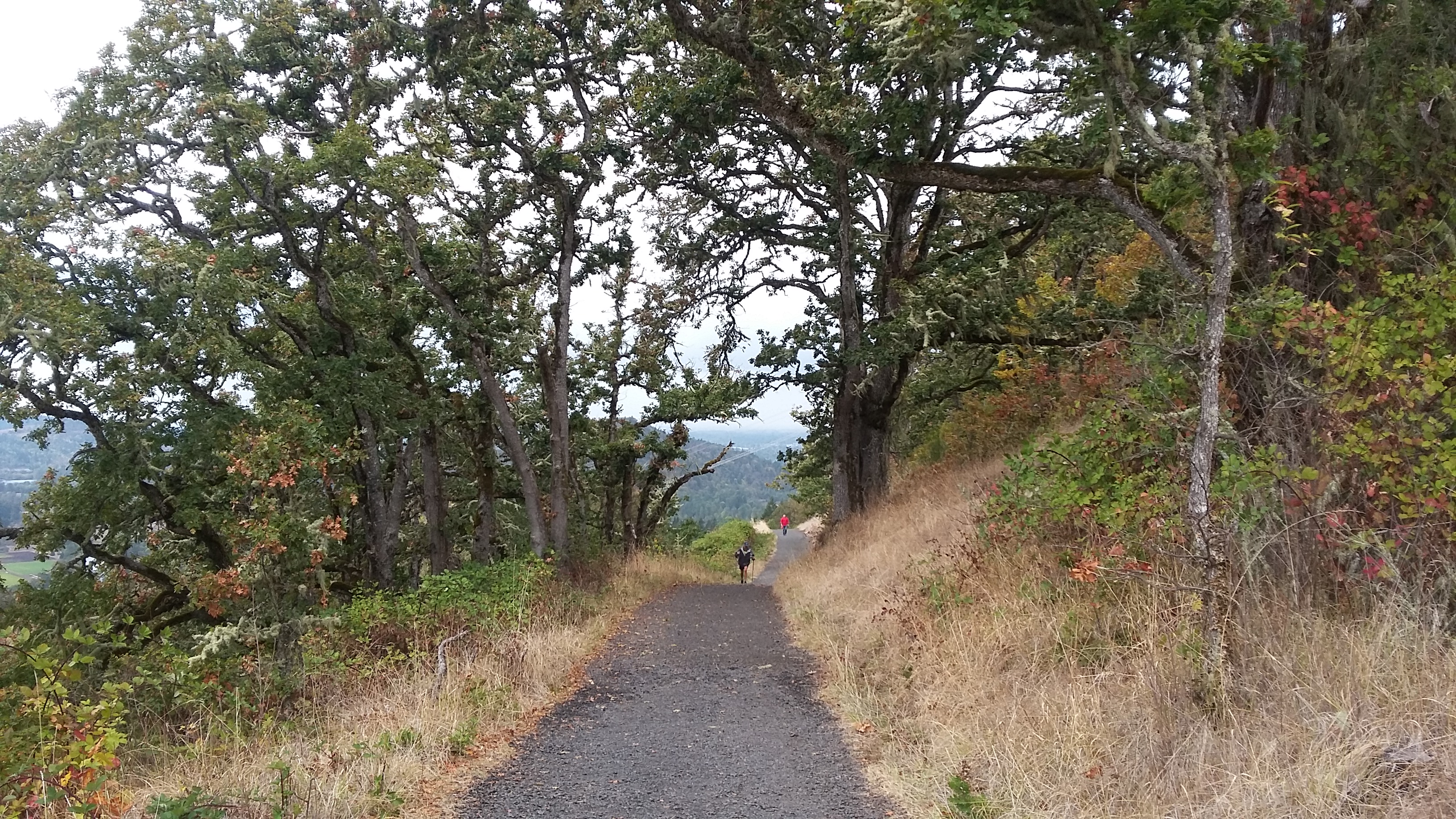
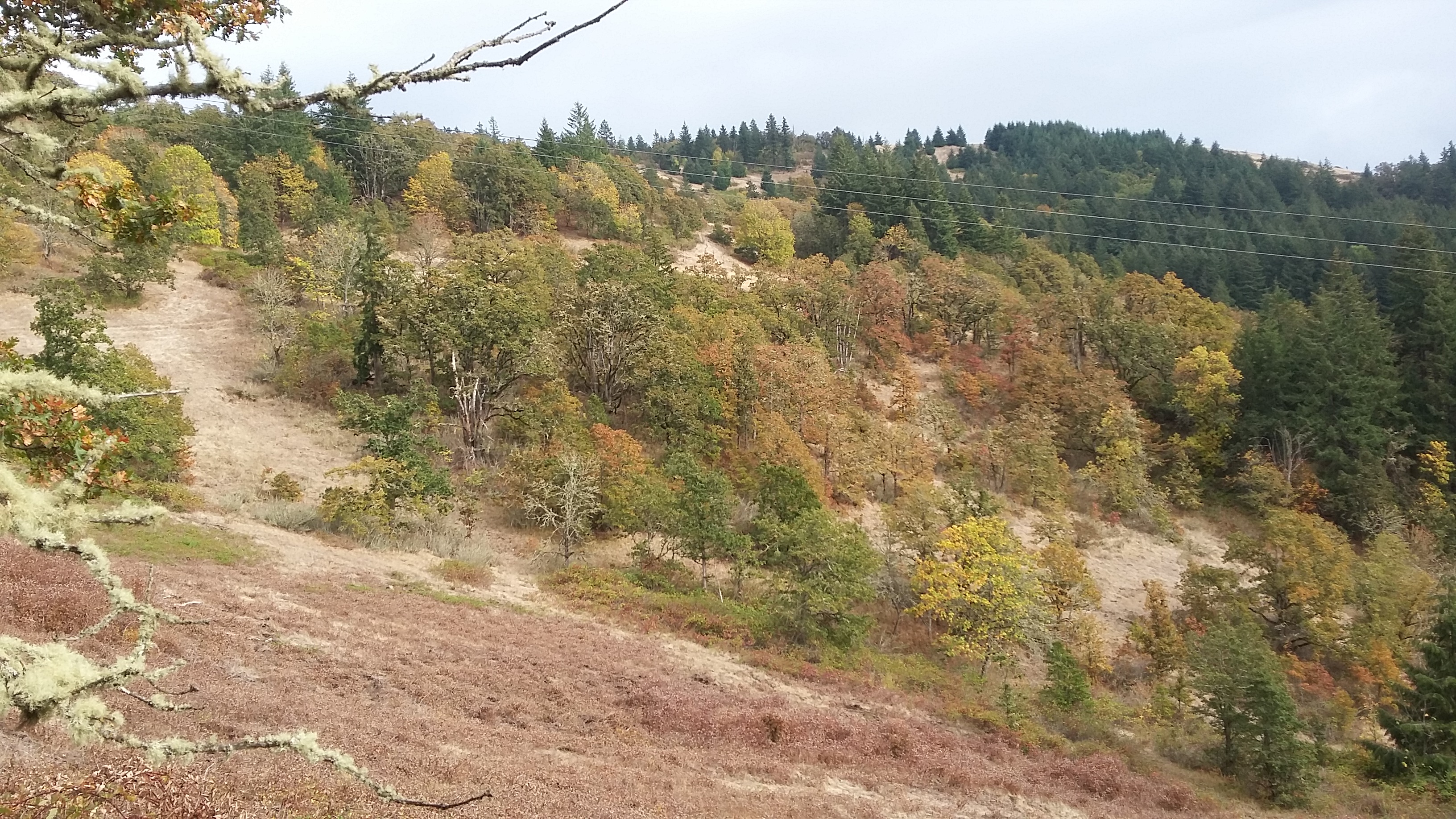
Mount Pisgah is a 'near' urban summit just east of Eugene. It is known as Mount Pisgah Arboretum and as the Howard Burford Recreation Area. It's a short 1.5 miles, but steep with 1050 feet of elevation gain from the parking lot to the summit. It features some of the last remaining oak savanna that once dominated the Willamette Valley and the summit has good views.
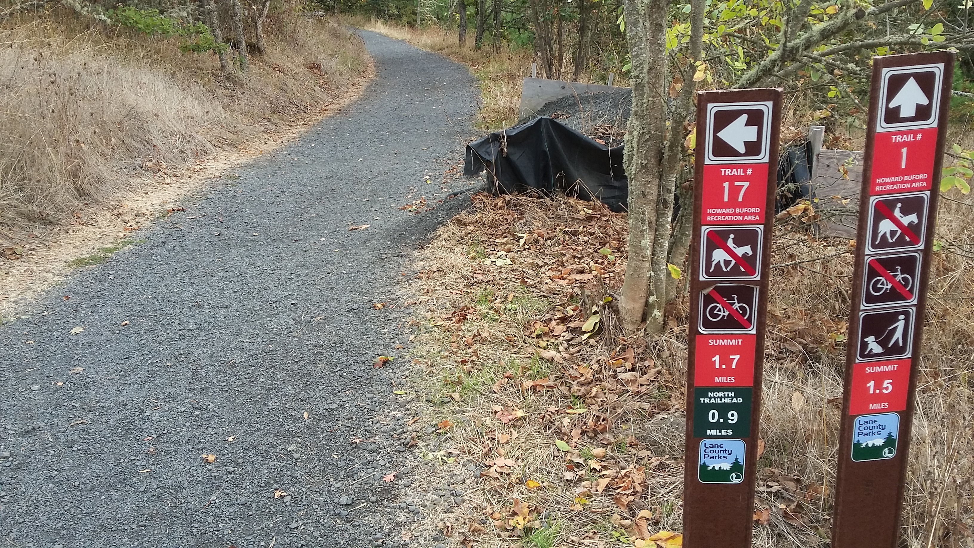
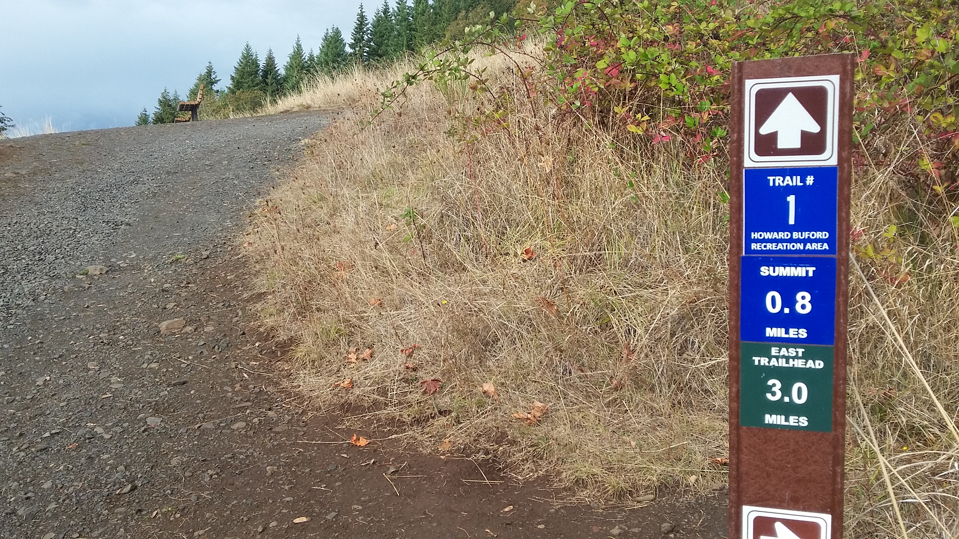
Note that a Lane County Park Pass or a $4 permit is required at the parking lot. You can exit I-5 at E. 30th Avenue and then use the east side frontage road to go north to Franklin Blvd. This will take you to Seavey Loop Rd that heads east toward the park. You'll cross a bridge and then head south into the slightly confusing parking area. The trailhead is near the pay station at a large gate. From the trailhead you'll keep on up the main track - it appears to be Trail 1 - to the summit. There are trail markers along the way - look for the word "Summit" to indicate the direction to go at any junction - but the path to take is the wide, well-graveled, and sometimes steep one. The last half mile is in a little worse condition, but it is just as wide. At the summit there is a concrete trig point at the and a bench facing east. To the south there are trees that could be used for antennas - but since this is a formal arboretum I suggest that you would avoid any activity that could damage the trees.