Here's another summit in the Diamond Lake area to activate if you have a few hours to spare - it's a short hike, but there's no trail. And note that there are three Oregon summits with this same name.
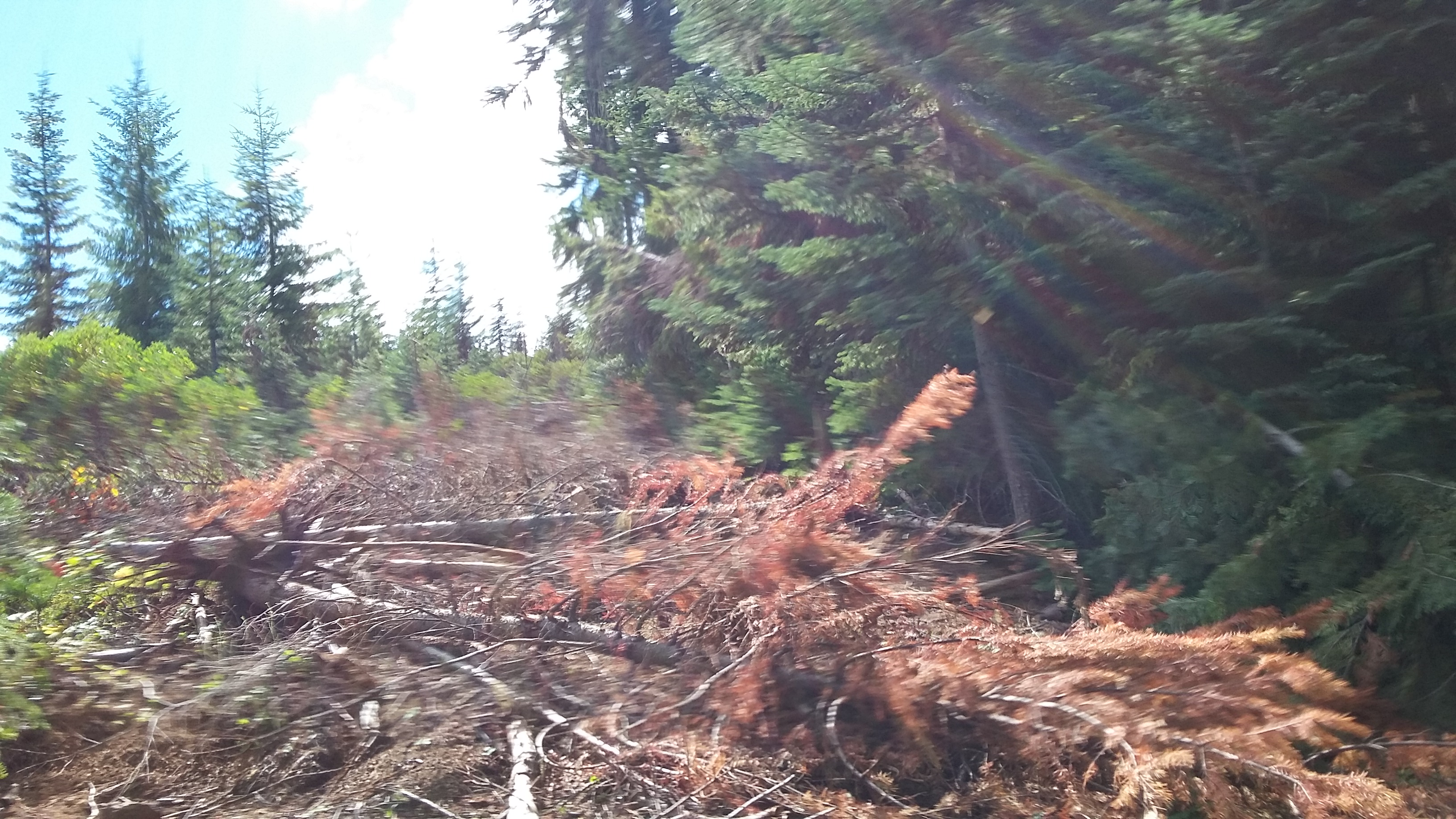
We'll start from the intersection of Highways 230 and 138, near the SE corner of Diamond Lake. Head north on 138 9.3 miles to where the road starts to turn towards the west - you'll turn right onto a road identified on my maps as the Cascade Lakes Highway and may also be labeled Windigo Pass Road - it's good gravel and runs straight for 4.6 miles where your'll turn left onto NF 2612, bearing right after 1.1 miles, and continue for a total of 2.8 miles. Turning right onto NF-920 for 1.3 miles until you come to a wide spot suitable for turning around and parking - you may see disturbed soil of abandoned roads on the left. You'll park here and go cross country up the abandoned road and in between a burn and a logged over area with manzanita on foot for just under half a mile to the summit. The last road might be driven with care in a passenger car - moderate clearance vehicles should make it with no problem.
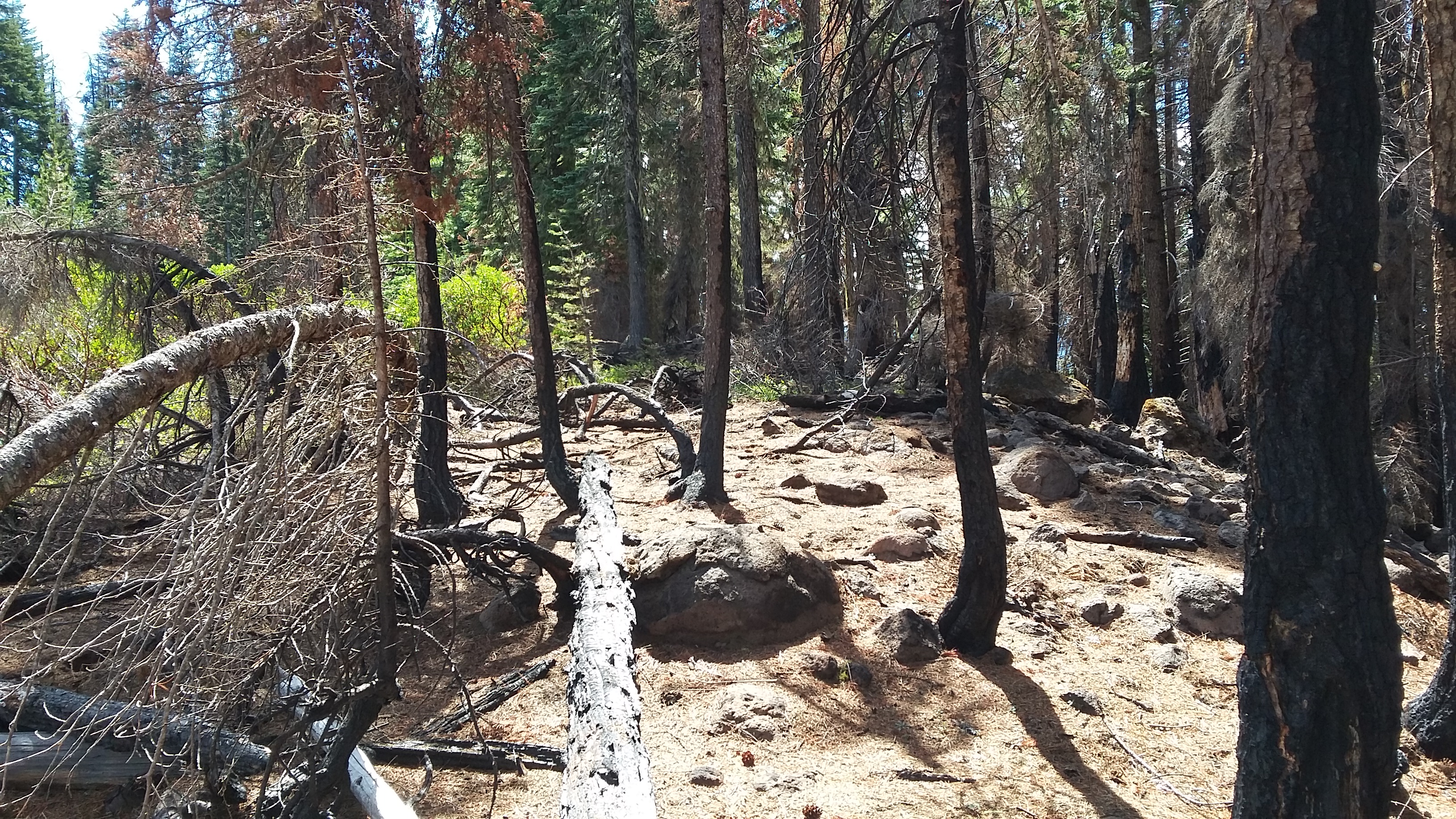
The summit proper is in trees - part of a burned area that you might not want to use for an activation if there's much wind. But there are open areas in the large Activation Zone in the manzanita or various rocks to perch on and enough live trees left to support antennas.
You might want to consider Kelsay Mountain as another nearby activation, and Mount Bailey and Garwood Butte as well. There is nice camping at the south end of Diamond Lake, and the Diamond Lake Resort for food and lodging.