Hurricane Hill is the high point of Hurricane Ridge in the Olympic National Park. It's a fairly easy hike in the summer season, and quite a ways farther in the winter on snowshoes. The summer hike is about 3.0 miles round trip, while in winter it will be closer to 5.6 miles. Although the net elevation gain is about 500 feet, you'll be going up and down along the ridge for more elevation gain, especially in winter.
From Port Angeles, head south on Hurricane Ridge Road - it's about 20 miles to the visitor center. This is a popular destination year-round - and on nice weekends in the winter, parking is limited and you may need to wait at the park entry gate until there is room for your car. You'll need a National Park or Olympic National Park Pass that can be purchased at the entry gate.
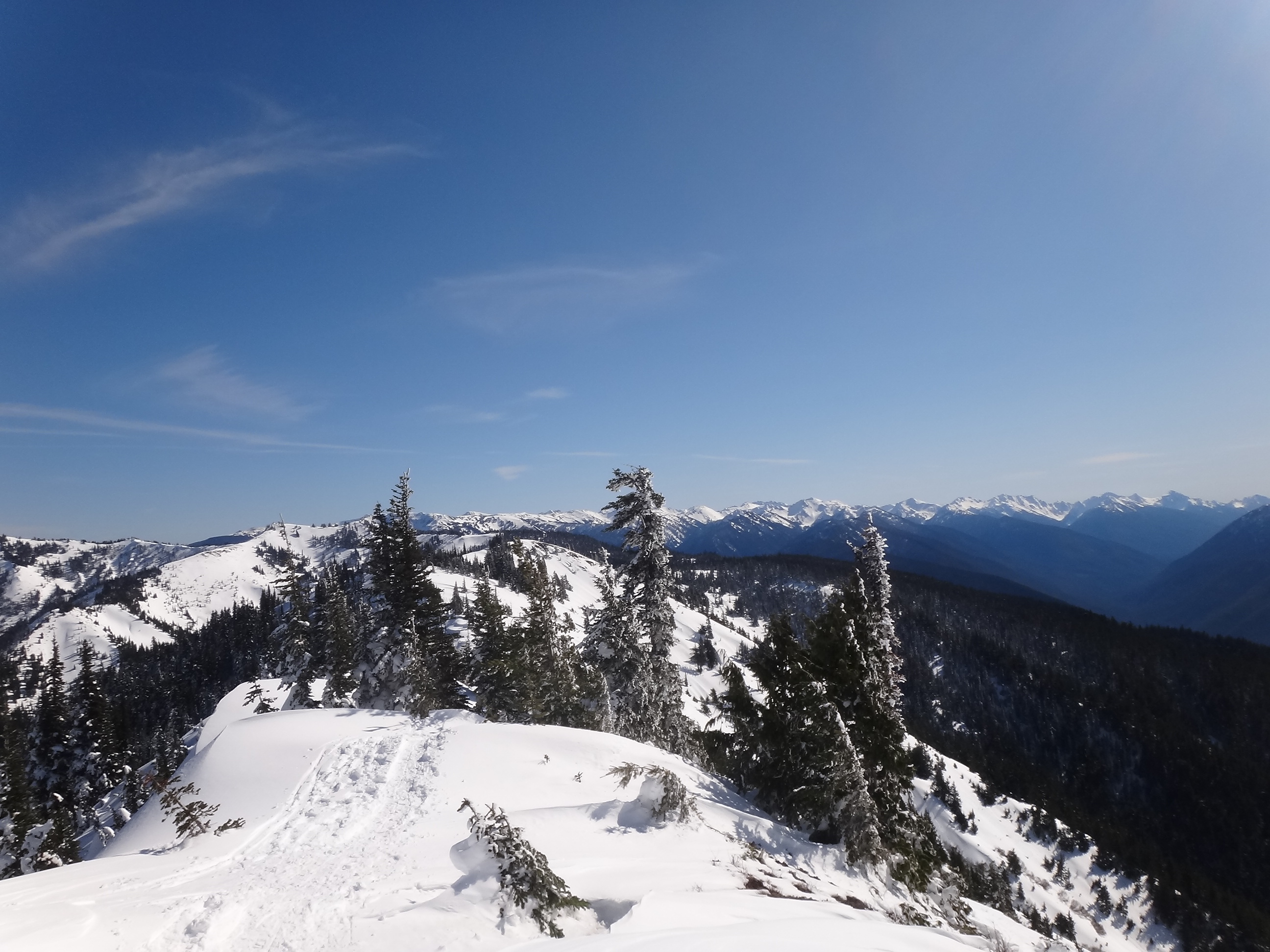
The summit is quite exposed and in the winter can be quite windy and uncomfortable. There are a few stunted trees that will likely be buried by late winter, so be prepared to guy any antenna pole. We did not have cell service on the summit, APRS did not work for spotting, and RBNGate wasn't pulling its weight either - so it was a challenging activation. Although 13 percent of contacts have been on 2m FM, we weren't able to raise anyone on that band.
Additional trail information can be found here: https://www.wta.org/go-hiking/hikes/hurricane-hill.