Here's an out of the way summit south of Prineville, Oregon with nice views and plenty of quiet. The drive towards the summit on Highway 27 is along the Wild and Scenic Crooked River and is lovely in itself with nice camping opportunities.
Take Highway 27 south of Prineville Oregon about 23 miles to near 44.0565° -120.779°. You'll see Durham Road to the right, and an unmarked dirt road to the left, heading towards Taylor Butte. This road is not well maintained, and soon you'll want to have a high clearance vehicle. If you don't have clearance, look for a place to pull over and walk before the track becomes rutted and rocky. We went about 0.8 miles before finding a spot to pull off and turn around. We walked along the road for about 0.1 miles and then an easy 0.2 cross-country up to the summit.
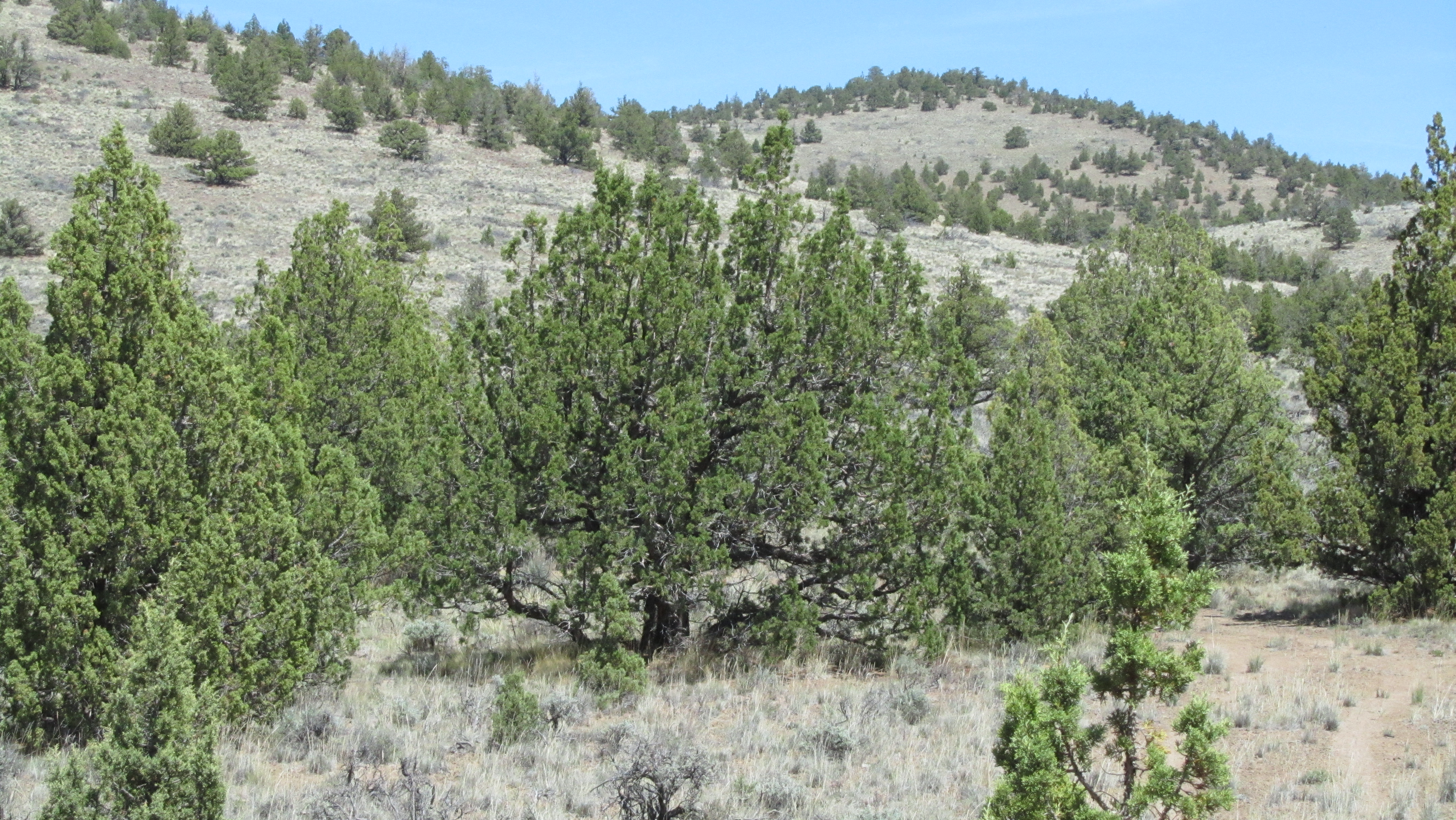
In the AZ there are lots of juniper trees for a bit of shade and a support for HF antennas. We worked a few folks on 2m FM simplex, but you might not make any contacts on that band without asking on local repeaters.
Note that the Crooked River Highway (27) continues south to Highway 20 - however the roads turns to gravel about ten miles south of Taylor Butte and continues that way to Highway 20.
Also, check out Ryan-W7RMR's trip report here: http://www.pnwsota.org/blog/kf7psc/2018-march-16/taylor-butte-or-march-2018.