Here's a nice 2.4 mile round trip hike on a quiet forest road, east of Prineville. Don't get this Wildcat Mountain mixed up with the other three summits with the same name in Oregon.
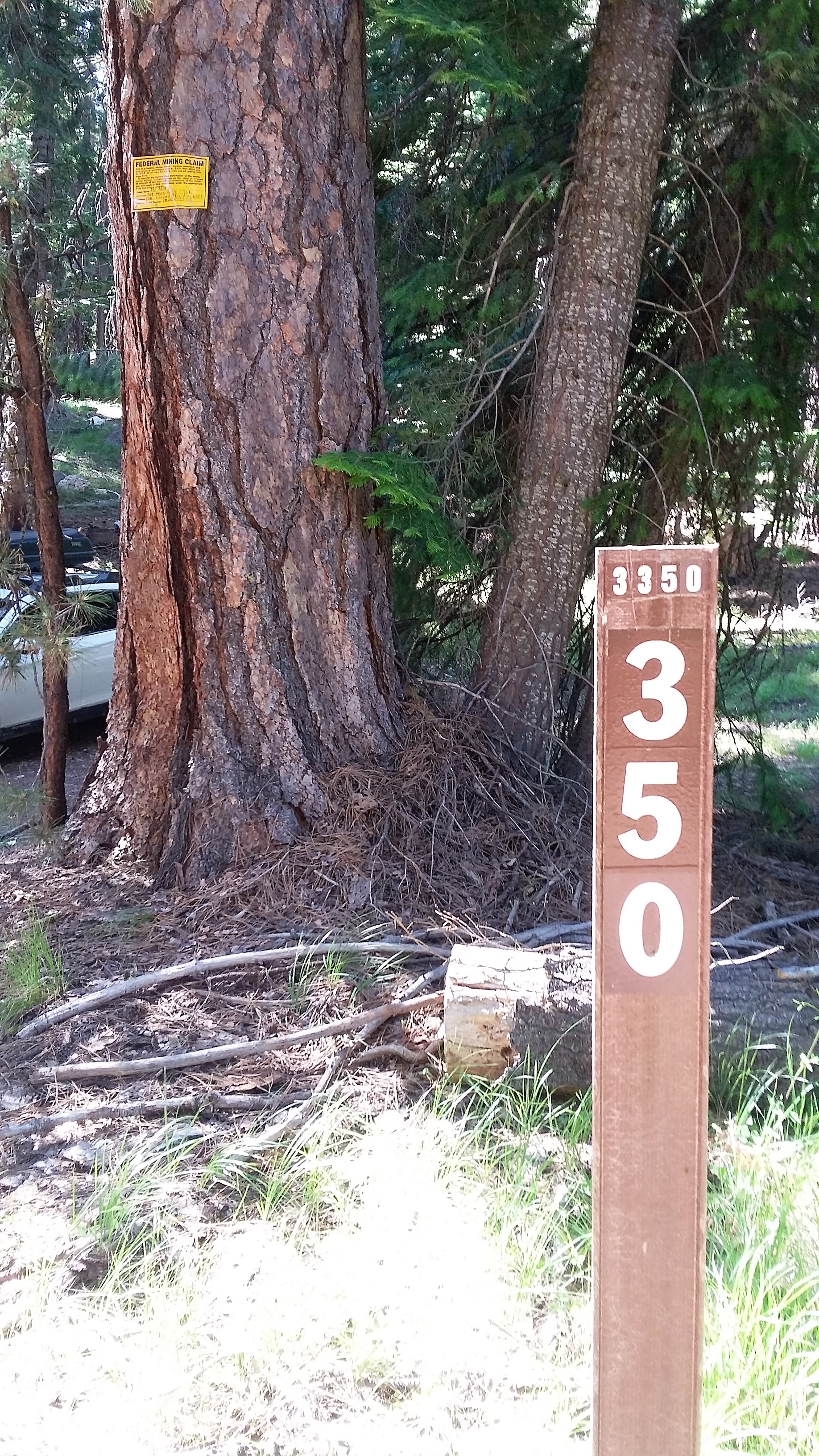
About 21.7 miles east of Prineville, take NF-3350 or NF-300 or Wildcat Mountain Road to the northwest (Google Earth uses all three names). Follow the main track 6.6 miles. Don't be tempted by your GPS to take another road - the main track is your best bet. You'll turn left onto 350, but park before the gate in a turn around near the mining claim signs. The road above the gate is rough and eventually blocked by downed trees. It's a nice 1.2 mile walk to the summit from the gate.
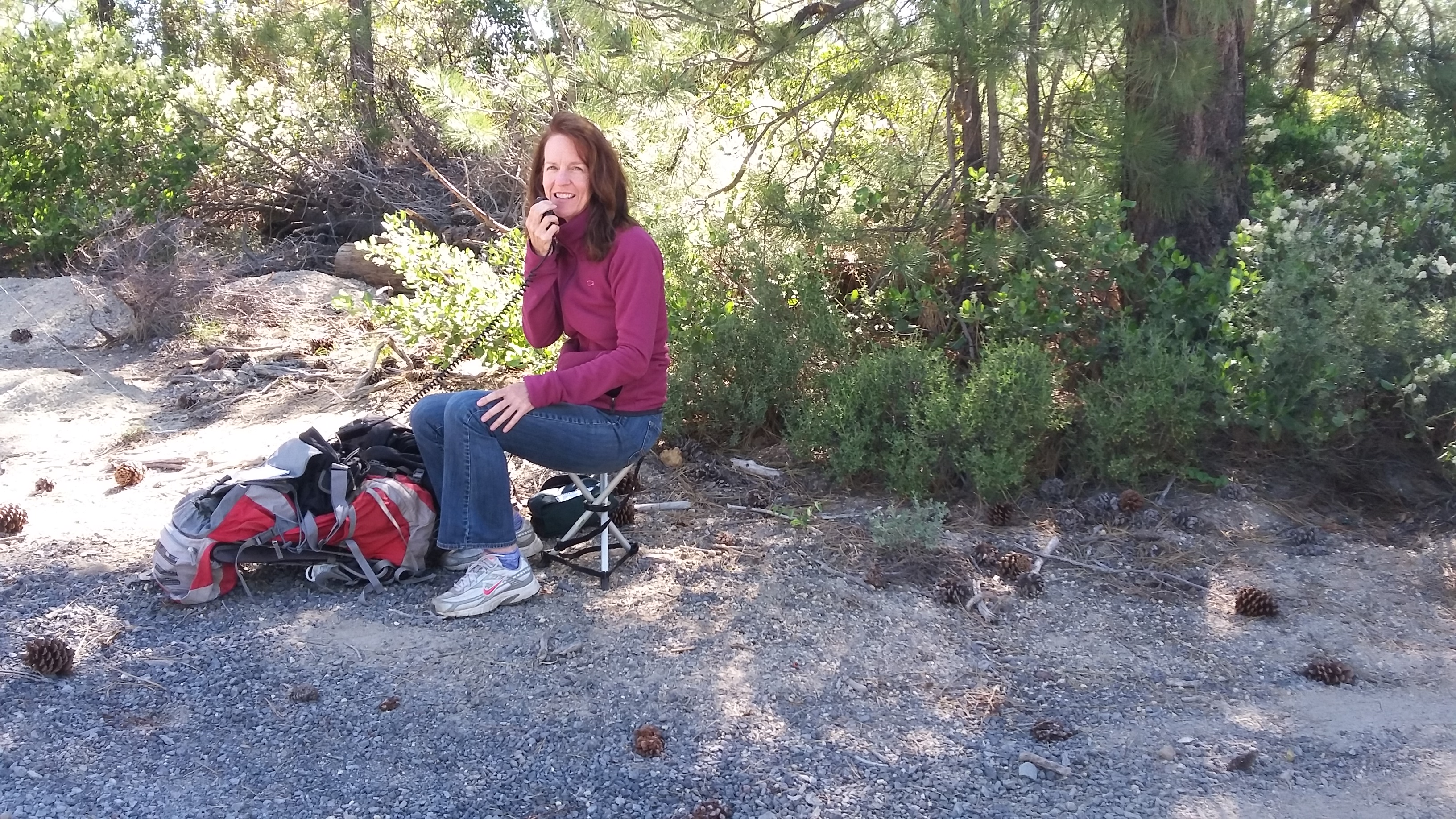
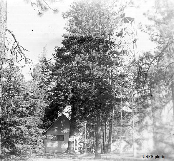
There are signs of a fomer firelookout at the top and lots of trees, but no views. We solicited on the Bend repeater and made one 2m FM simplex contact.