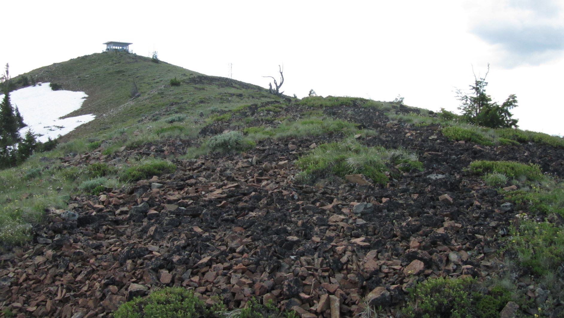
If you find yourself along the eastern stretches of Highway 26 and have a high clearance vehicle, this would be a nice hike of about 2.5 miles round trip to an operating fire lookout. You may elect to drive to the summit, but you may find it more comfortable to hike the narrow steep section. There was snow partially blocking the road in late June, another reason to walk the last bit.
About 8.9 miles east of Prairie City on Highway 26, turn off near 44.536°, -118.6°. (This is a highpoint of the road.) You'll heard north on NF-2610 and proceed about 4.1 miles on ths rough forest road. When you reach a junction with Road 759 - more like a trail - you may want to find a place to park and walk the rest of the way to the summit.
From this point is about 0.75 miiles to a saddle, but the road is very narrow with no possible way to turn around until the saddle. This portion of the road bed is large, fist-sized rocks that can rolle under the vehicle and compromise ground clearance. After the saddle the road narrowed more - it's another 0.5 miles to the lookout at the top.
There are no trees to rig antennas - we supported our fiberglass pole and inverted vee end-fed on a propane tank. You might note that despite there being little shrubery, several ticks found their way onto us - you might want to stand to operate around that same time of year.