La Forêt is a forested one-point summit near La Motte-Servolex, France. Heading east on A43, just before the tunnel, exit at Lac d'Aiguebelette, pass through the toll plaza, take the first exit from the roundabout and then the next right. After you pass under the A43 and after about 400m, take a sharp left onto Route du Terreau and wind up the hills towards Ayn on D36E. Pass through Ayn and continue on D37 to Route du Montigon. A GPS will be quite useful in getting to the trailhead.
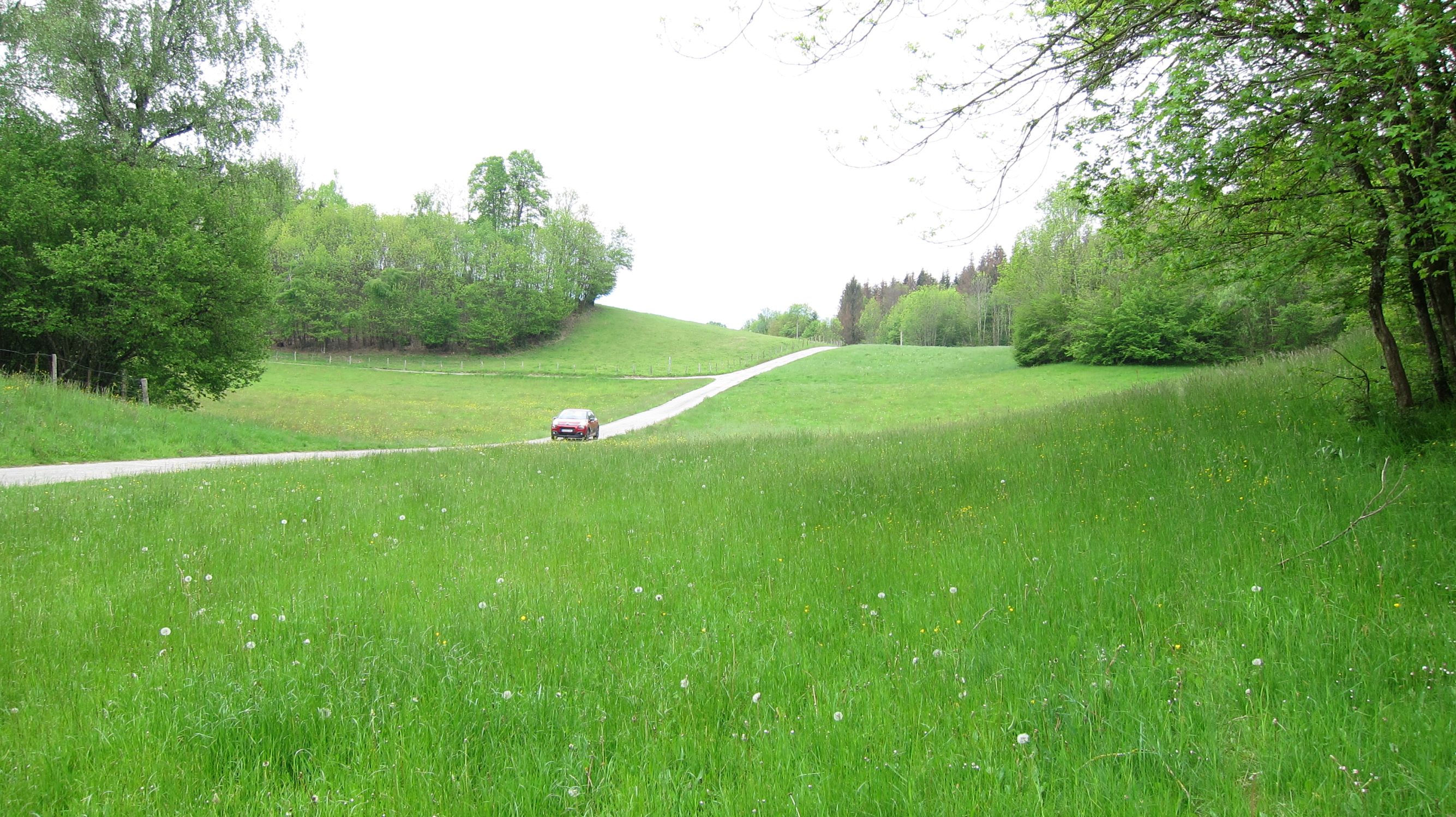
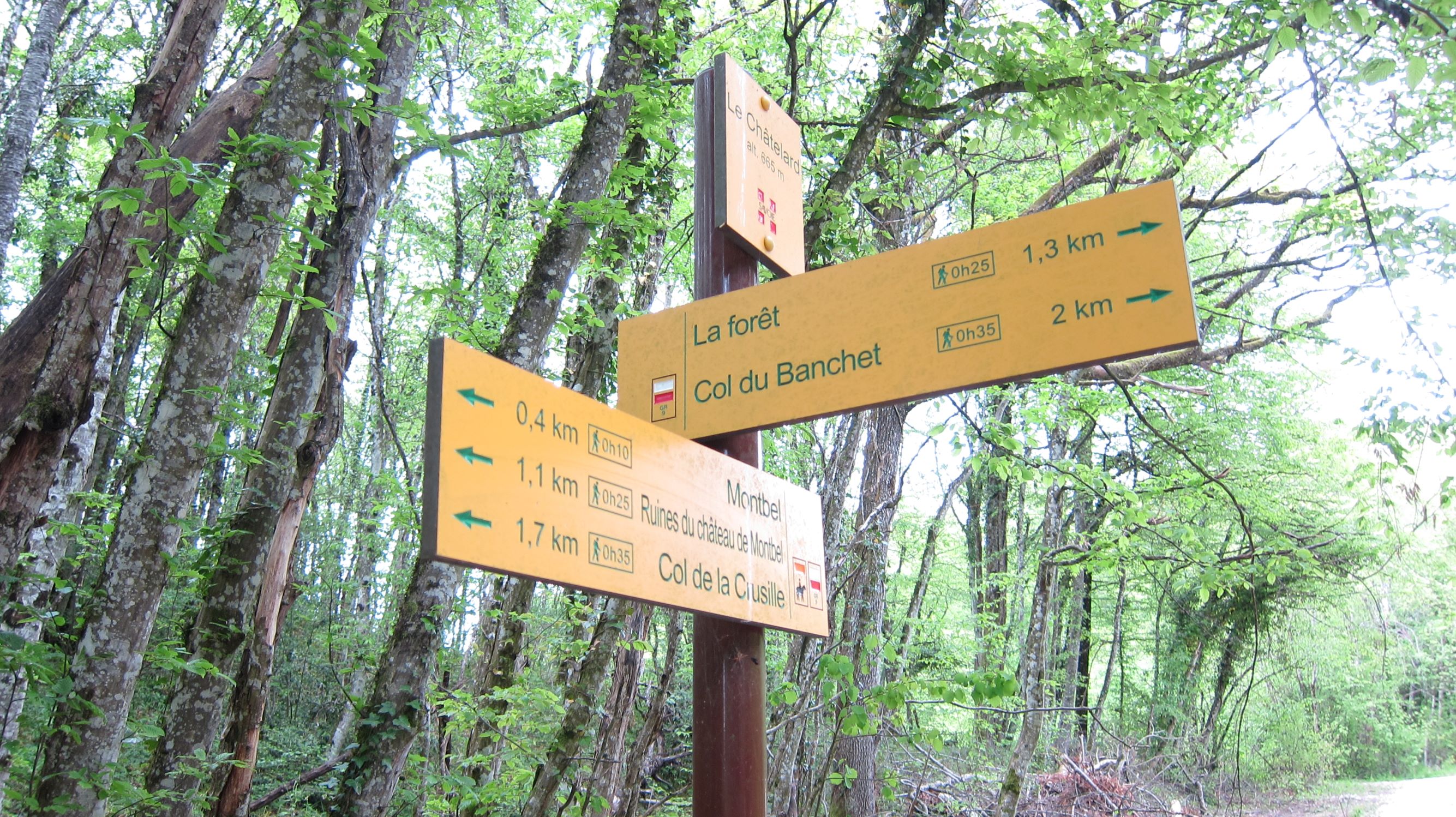
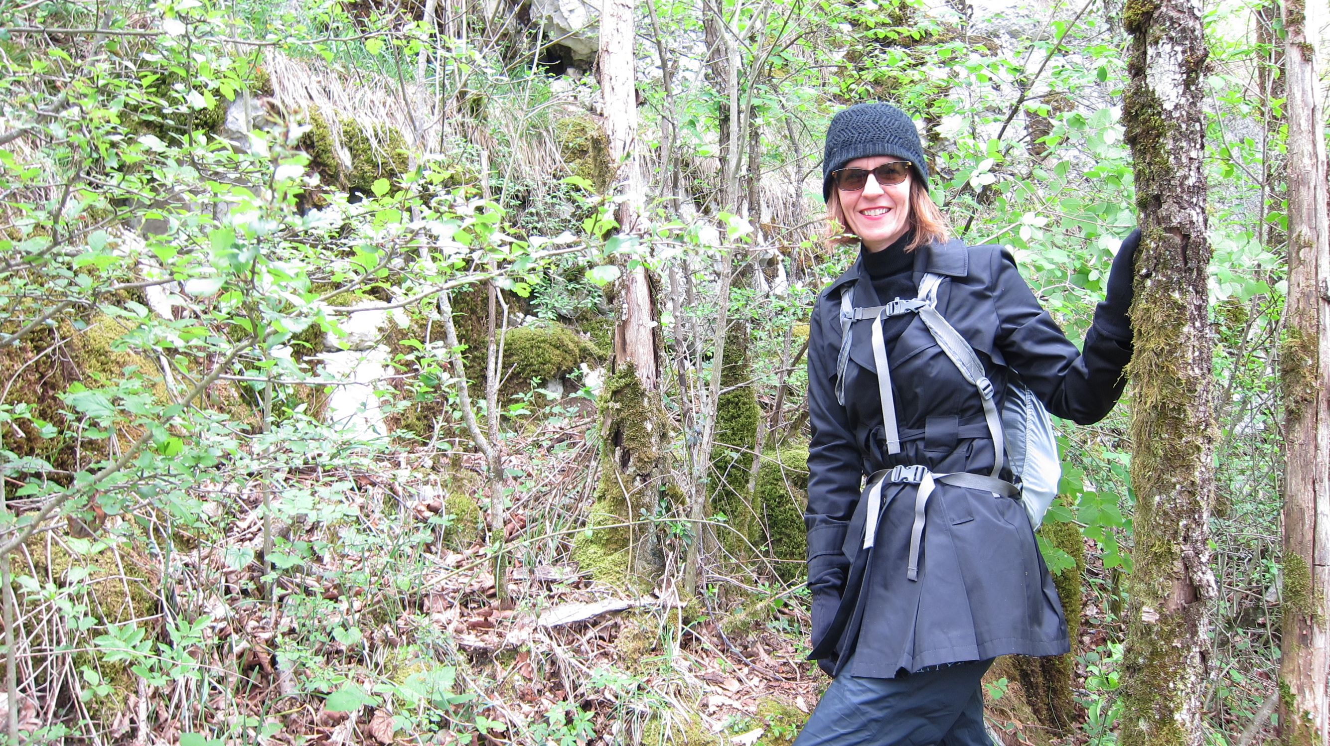
We parked at a Y intersection near 45.5789° 5.7371° as the road heading to the NW was a bit rough for our rental car. After about 370 meters we came across the GR9 and took this trail south about 300 meters to a high point where a social trail led towards the summit. The trees and brush are quite dense and "Mode Sanglier" was called for. We were able to get within about 35 meters of the summit and into the activation zone at a vertical cliff about four meters high. We set up HF there in the trees by throwing the antenna wire. There was T-Mobile service for spotting.