Summit
Trail Characteristics
APRS Coverage
Don't know
Cellular Provider
T-Mobile
Voice Cellular Coverage
Decent, workable
Data Cellular Coverage
Decent, workable
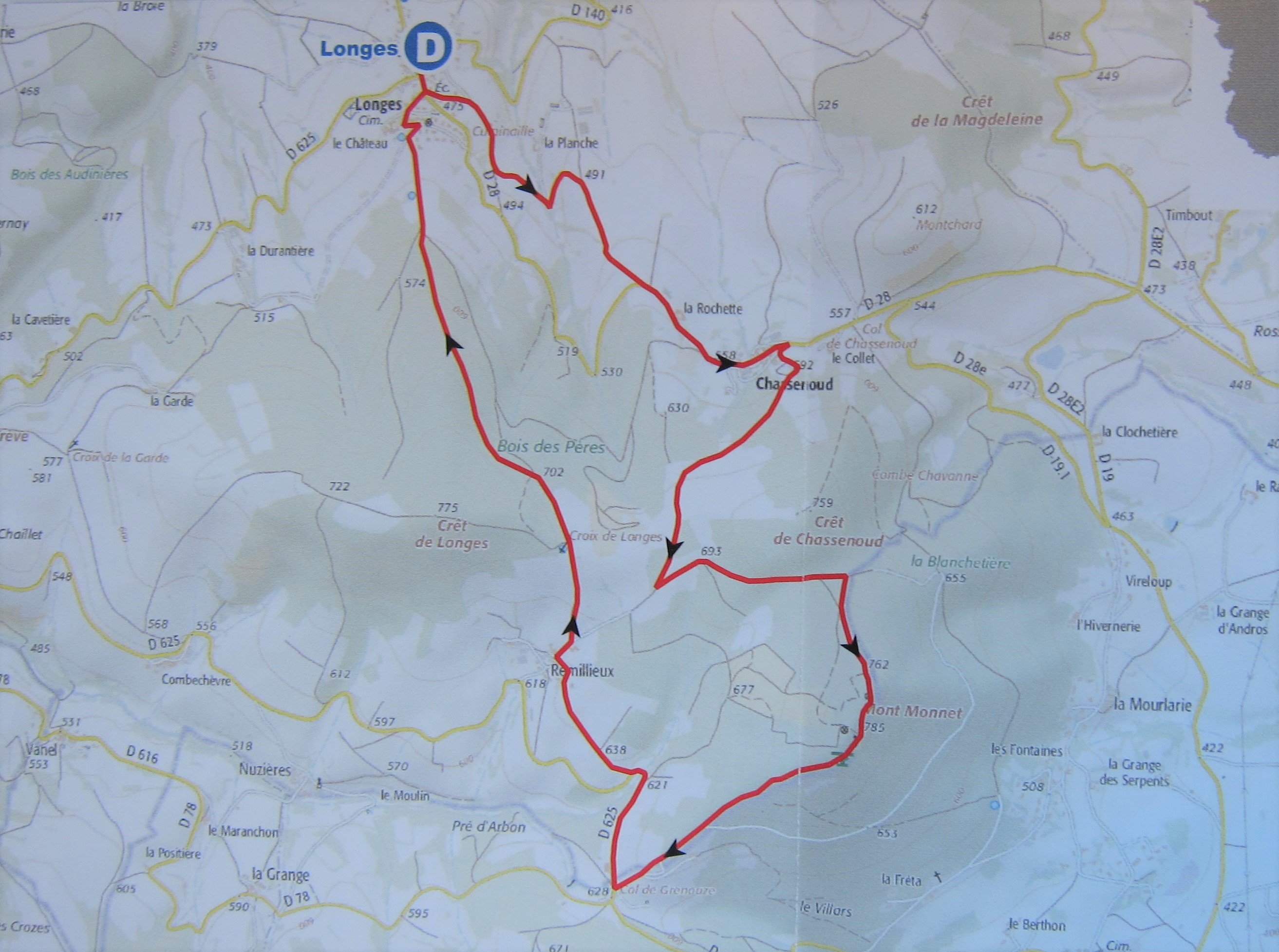
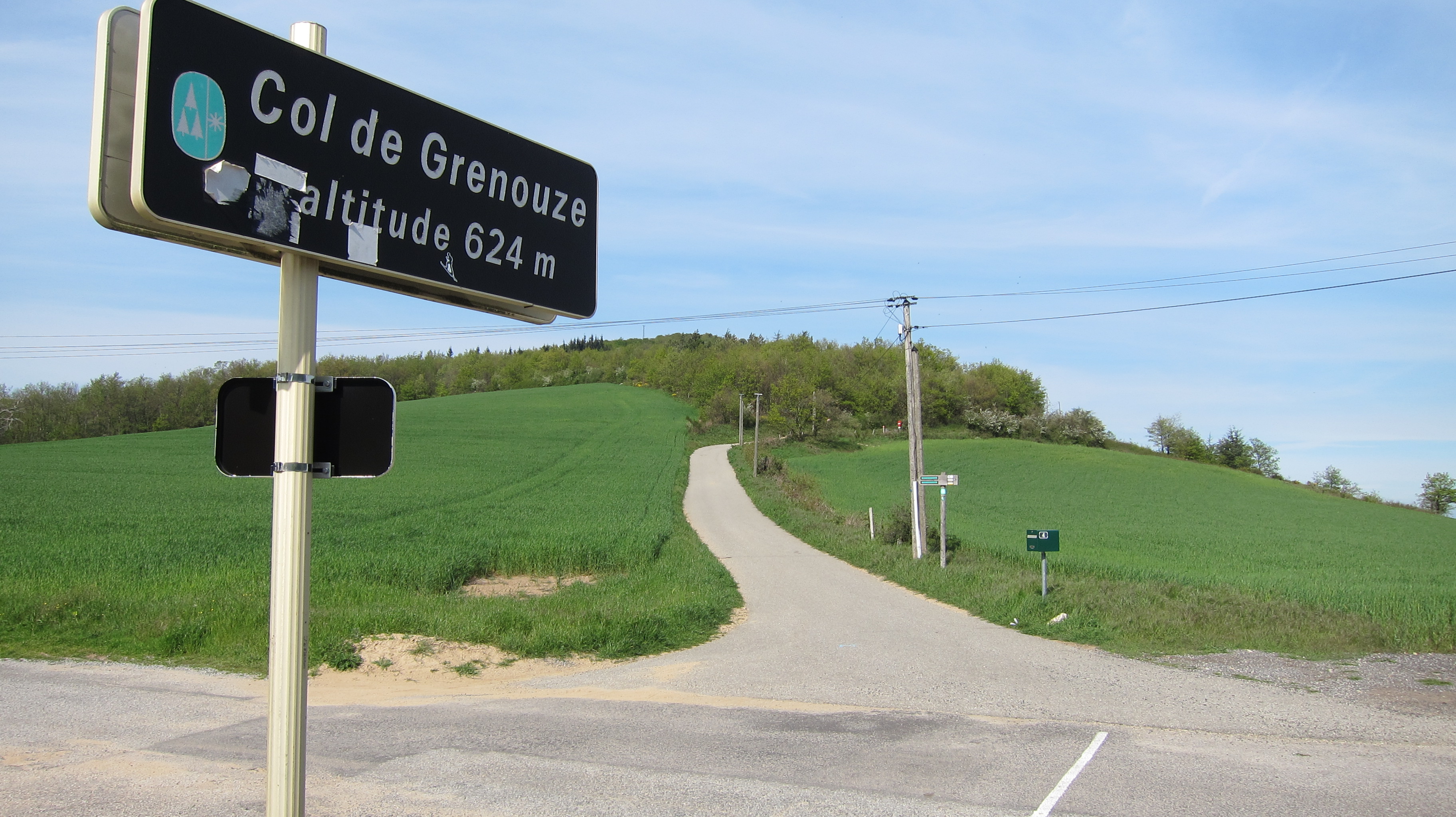
The easiest access to Mont Monnet is a 1.5km road and trail hike with a vertical gain of about 160 meters. Mont Monnet is in the Parc Naturel du Pilat near Longes, France. The map below shows the available trails - the shortest approach of 1.5km is from Col de Grenouze where there is parking (45.4768° 4.6971°).
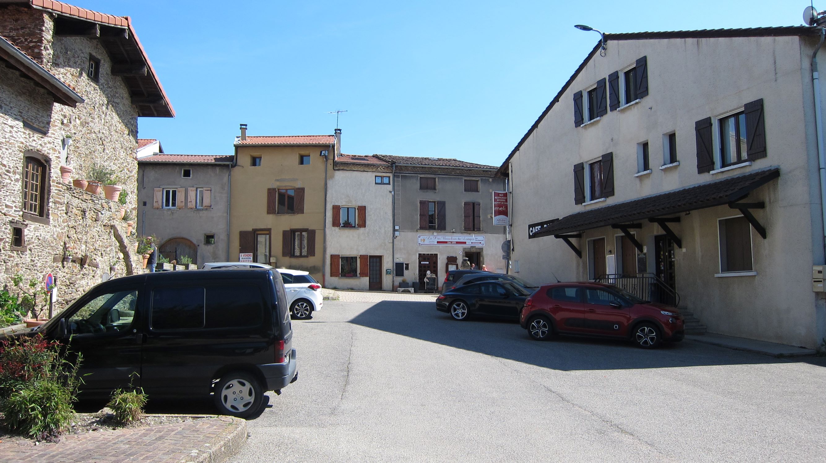
Pictures