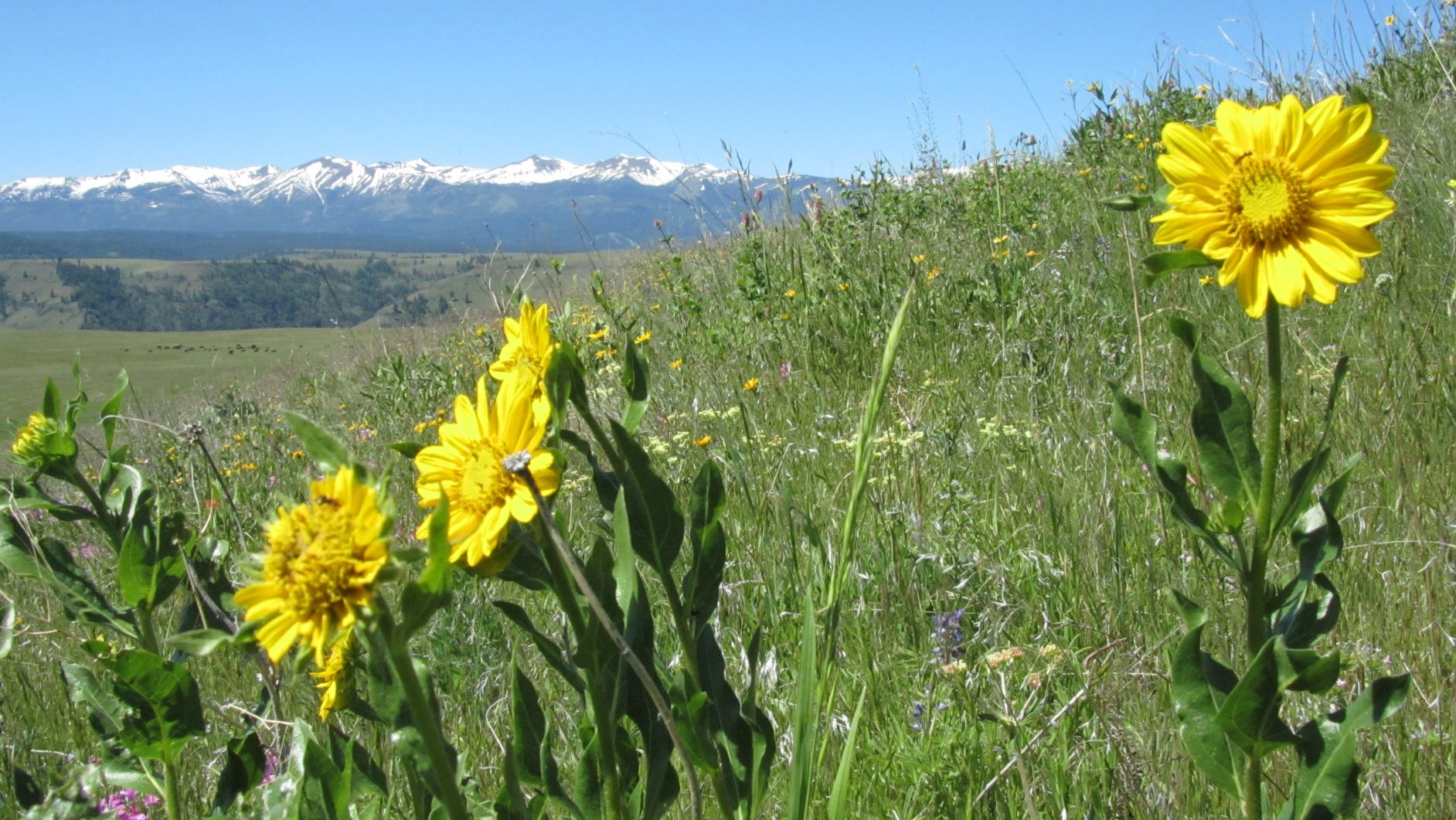
In the NE corner of Oregon there's this easy summit with great views of the surrounding Wallowa Mountains. The cross-country "hike" is only 0.6 miles from the nearest road approach and about 300 feet of gain, and in season the wildflowers are amazing.
From Joseph, Oregon take Oregon 350 east for 8.3 miles to turn south on the Wallowa Mountain Road. Go about 2.1 miles to turn left onto Target Divide Road. About 6.4 miles later you'll bear right onto Deadhorse Ridge Road and follow that about 3.3 miles to find a wider spot to park your vehicle for the short walk to the summit (although the road is in the AZ, the actual summit is a lovely spot to activate). The roads were reasonable for a Subaru - a carefully driven passenger car should also make it.
There is a fence to cross, but the cross-country travel is otherwise easy. The summit is gradual but fairly obvious - but you'll likely be using a GPS to get you to this point anyway. There are no trees or other supports for antennas - we used a shrub and a strap to vaguely support a FG pole for the duration of the activation. You may be able to reach a few hams nearby with 2m FM - 146.52 may work for you. Note that in 2017 a short distance past Peak 5571 Deadhorse Ridge Road is signed "No Trespassing" and gets very rough before you are anywhere close to Dead Horse Ridge, W7O/NE-112.