Steep, but Priusable route for activating Peak 2905. A one way hike of about 0.9 miles and 100 feet gain. The AZ is on Stimpson Timber land . - not accessible during weekday hours or active logging.
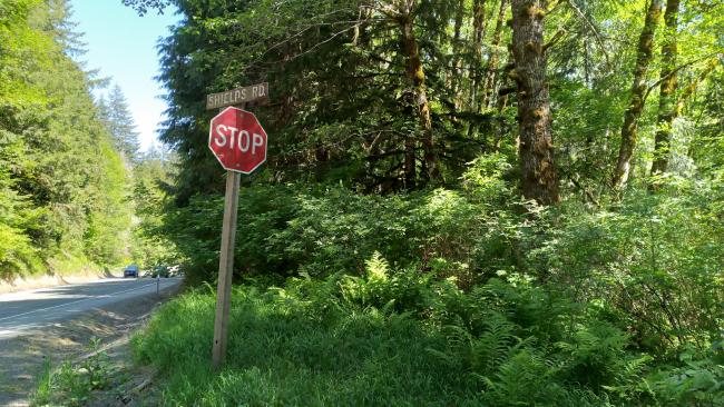
Near Highway 26 milepost 30, turn south onto Shields Road. (About 1.3 miles east of the Sunset Rest Area.) Travel uphill on the main track for 2.1 miles. Note that Google Maps offered several turns just before Shields Road that DO NOT lead to the TH.
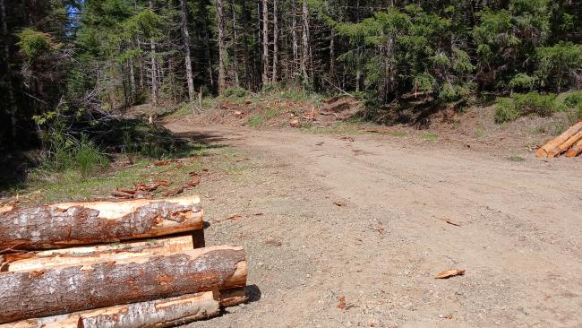
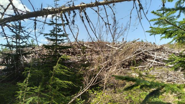
Arrive at a large intersection, make a sharp right turn and park near a new road has been punched through (May 2025 - see photo below). Hike up this road, leaving the new road at a large laydown (camping) area to an abandoned track that ends in a slash pile. Climb over the slash to the apparent high point about 100 meters ahead. Mounts Rainier, St. Helens and Adams can be visible from the high point.


