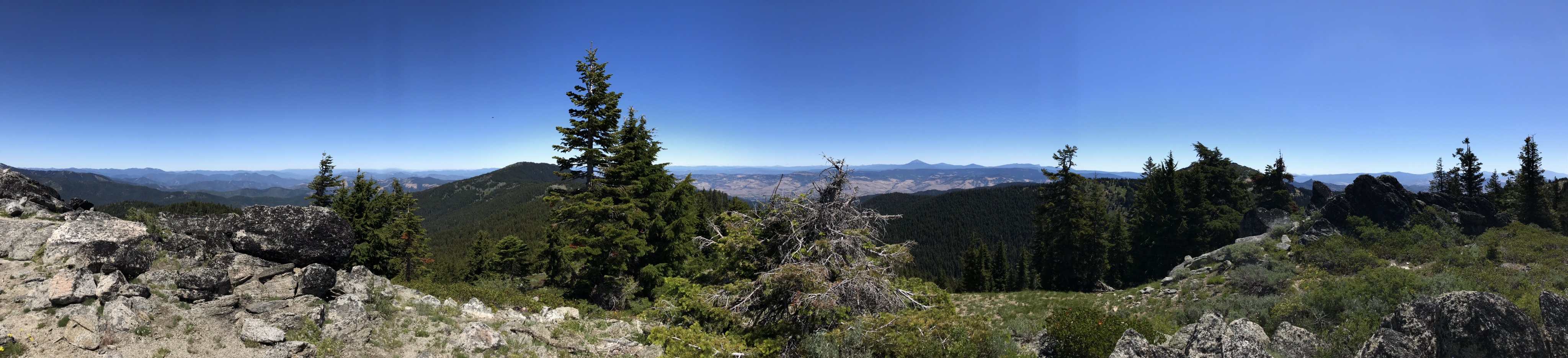
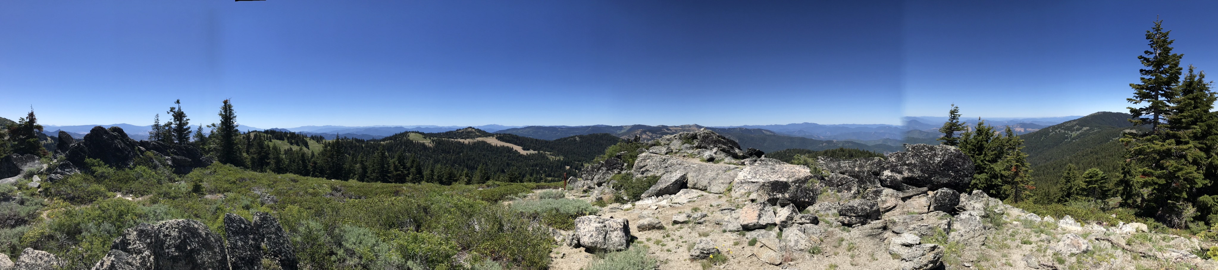
Poor McDonald, like Rodney Dangerfield, it gets no respect. And honestly, that’s not fair. Sitting in line with the heralded Mt. Ashland (W7O/CS-019), McDonald is easy to access, has a great operating position, and spectacular views of the Siskiyous in all directions. If you are activating Mt. Ashland, you absolutely must make it a double if the roads are open and clear.
To get to McDonald Peak, simply take Forest Road 20 3.6 miles past the Mt. Ashland Ski Area. This road, while a little bumpy and dusty, can be driven by any car with a little care. Set your sights on the parking pullout located at 42.0759, -122.7481. There’s room here for a single car to park comfortably and possibly two or three if you get creative. There is a trail here that heads up and to the summit to the left. The trail rises over the false summit, down into a saddle, and then climbs to several sets of rocks at the summit. The total altitude gain is only about 250’. There is a huge operating area and it would be very easy for multiple activators to be here together without tromping on each other.
All of the summits in this area have great sight lines into the Rogue basin areas of Medford and Ashland. Cell service is strong, APRS is highly active, and there are some locals that monitor 2m regularly.