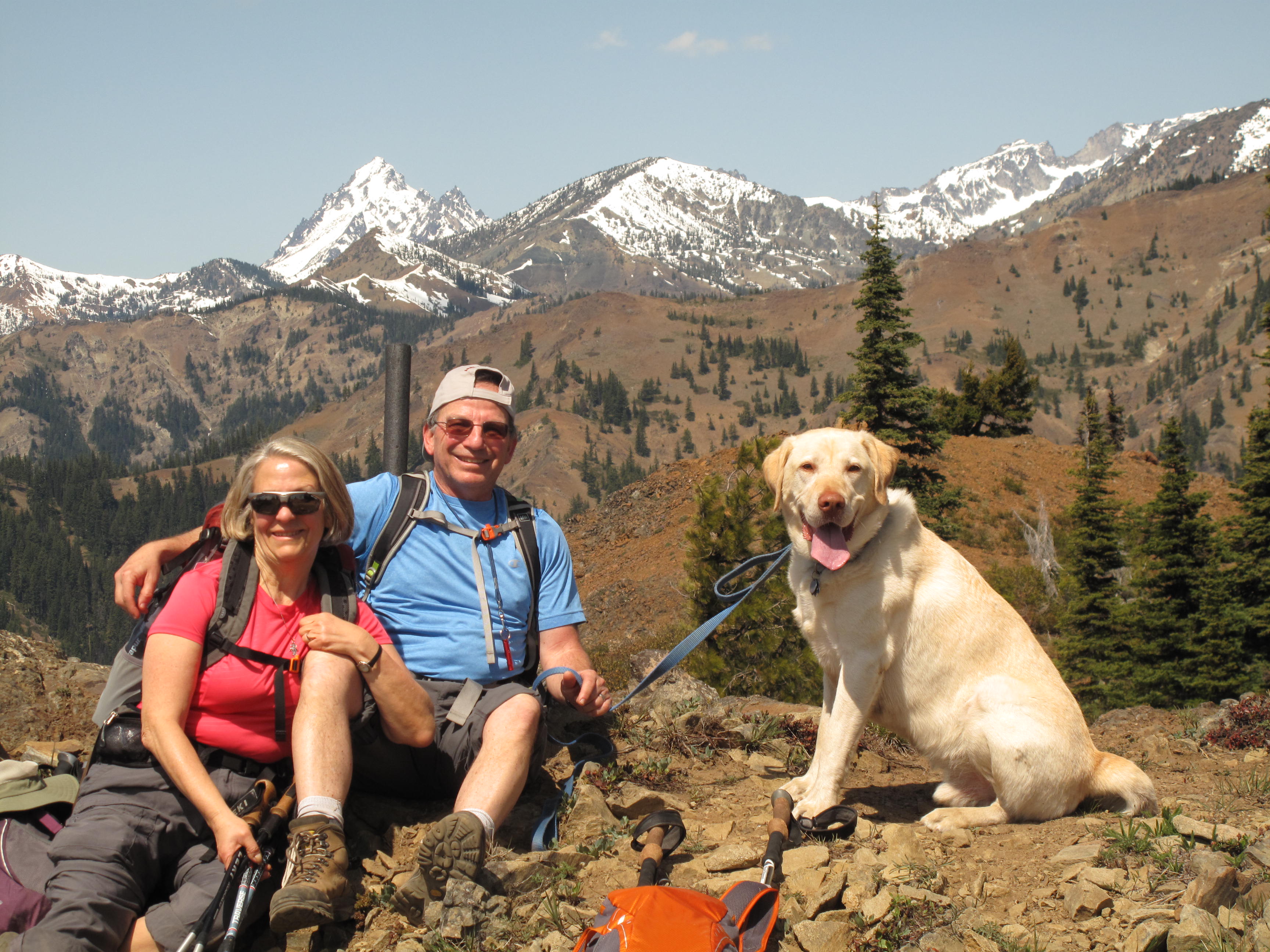
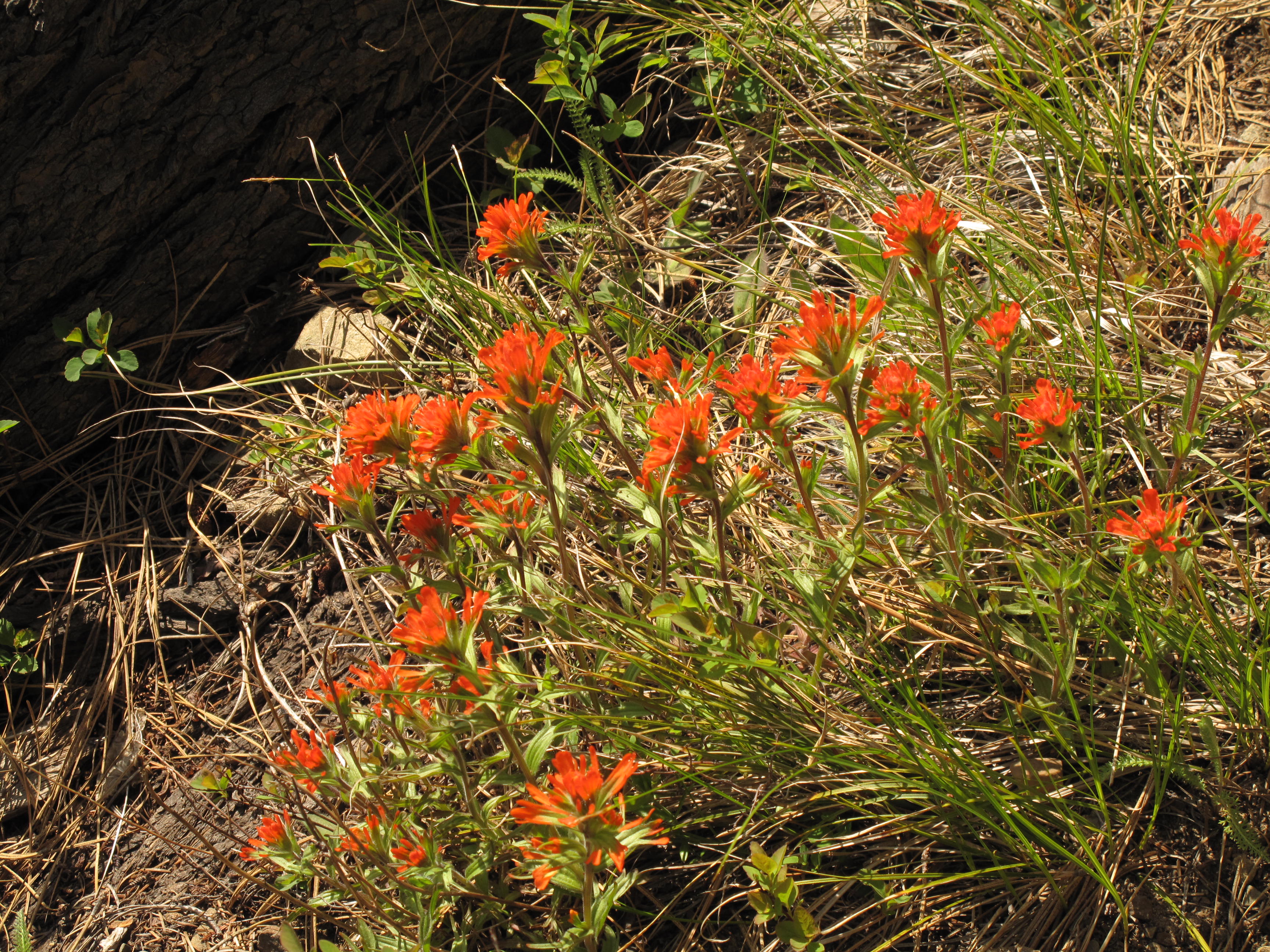
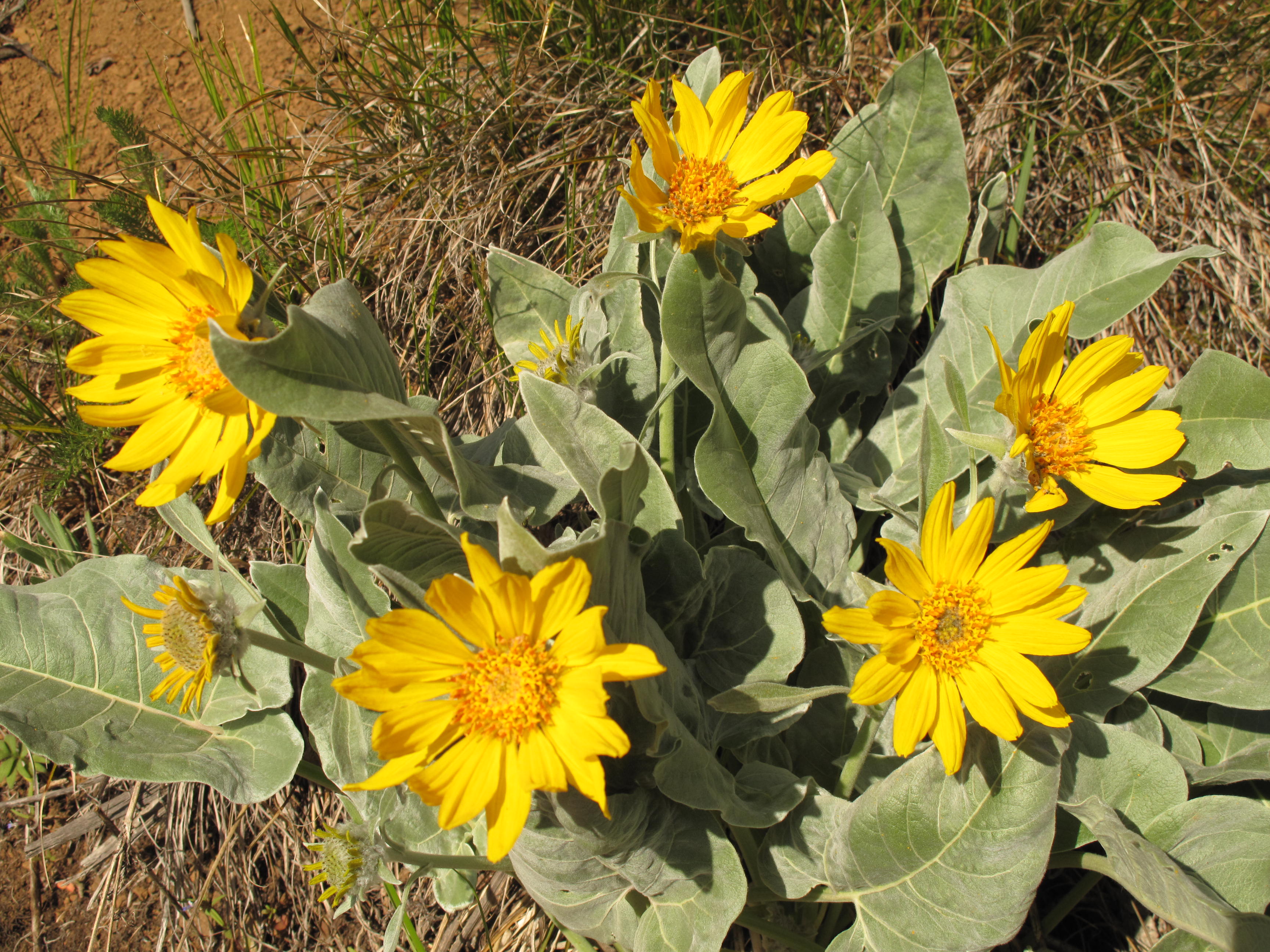
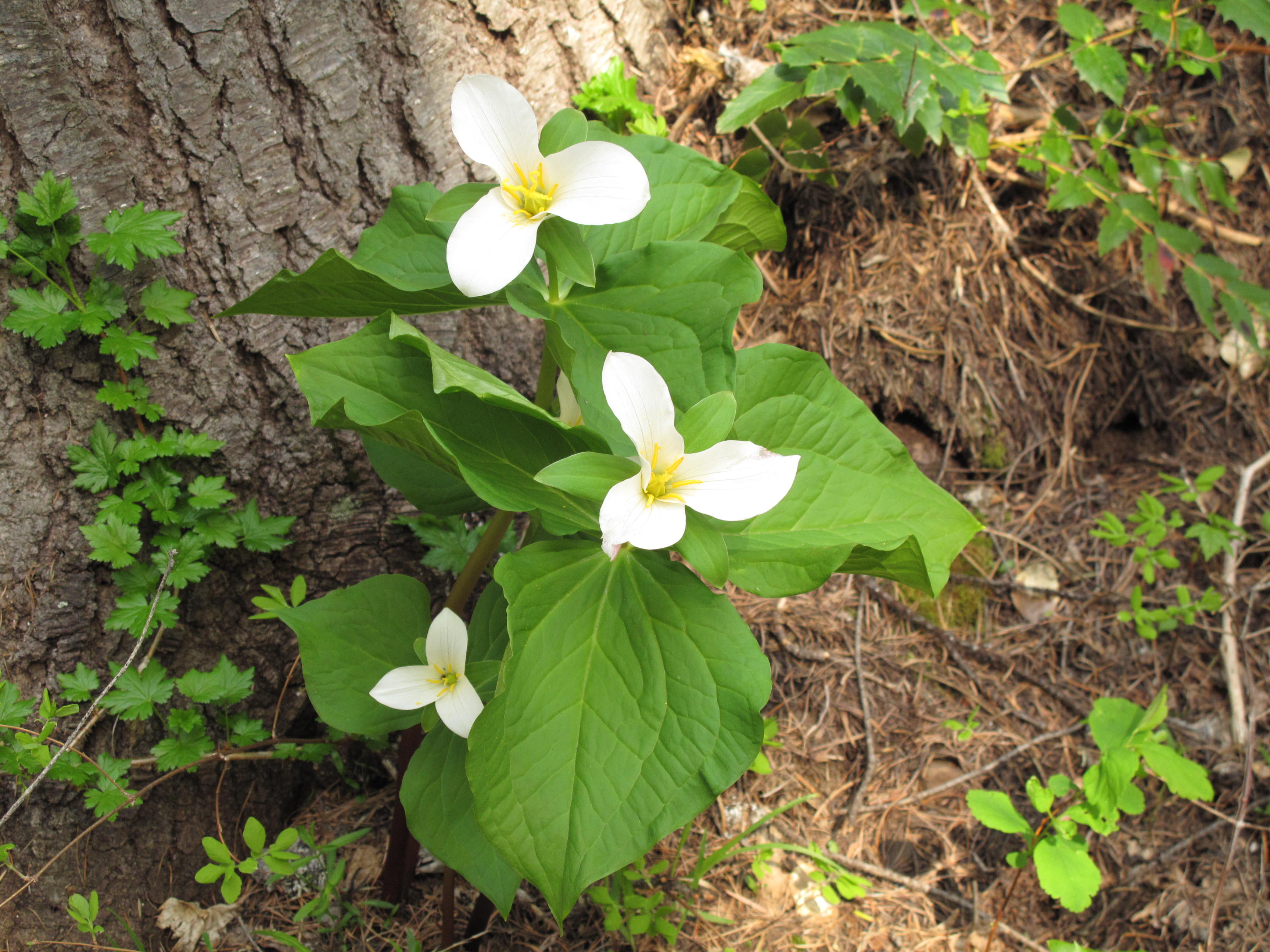
Reprise on Jester Mountain, exactly 8 months later. We originally activated Jester on September 3, 2014. This time I returned with a different crew, and in a different season: Spring. The flowers were out, the views were incredible as usual, and the weather was sunny, with a slight cooling breeze which kept it very pleasant. Good company, successful Activation and sections of beautiful flower blooms made for a very nice outing.
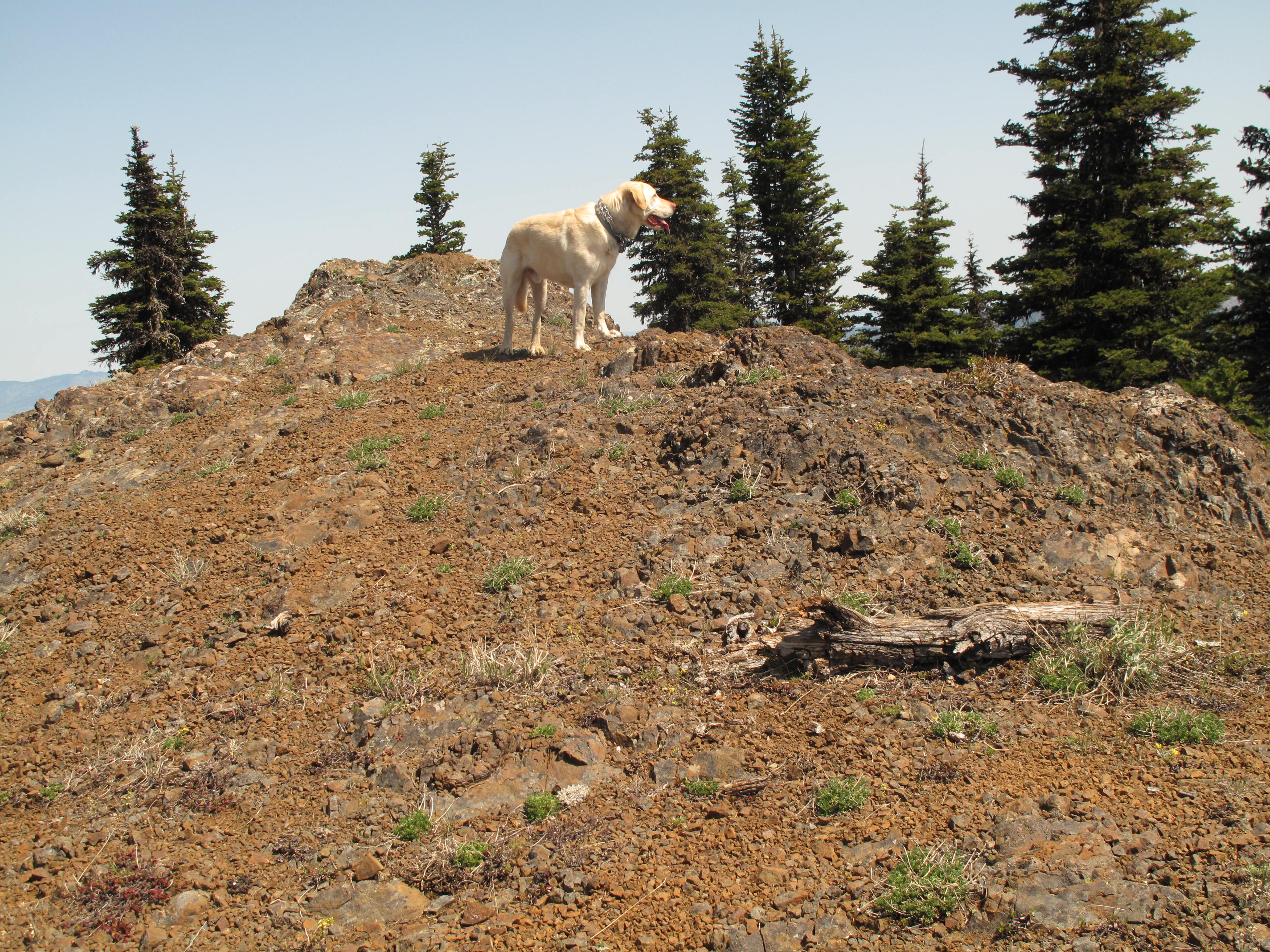
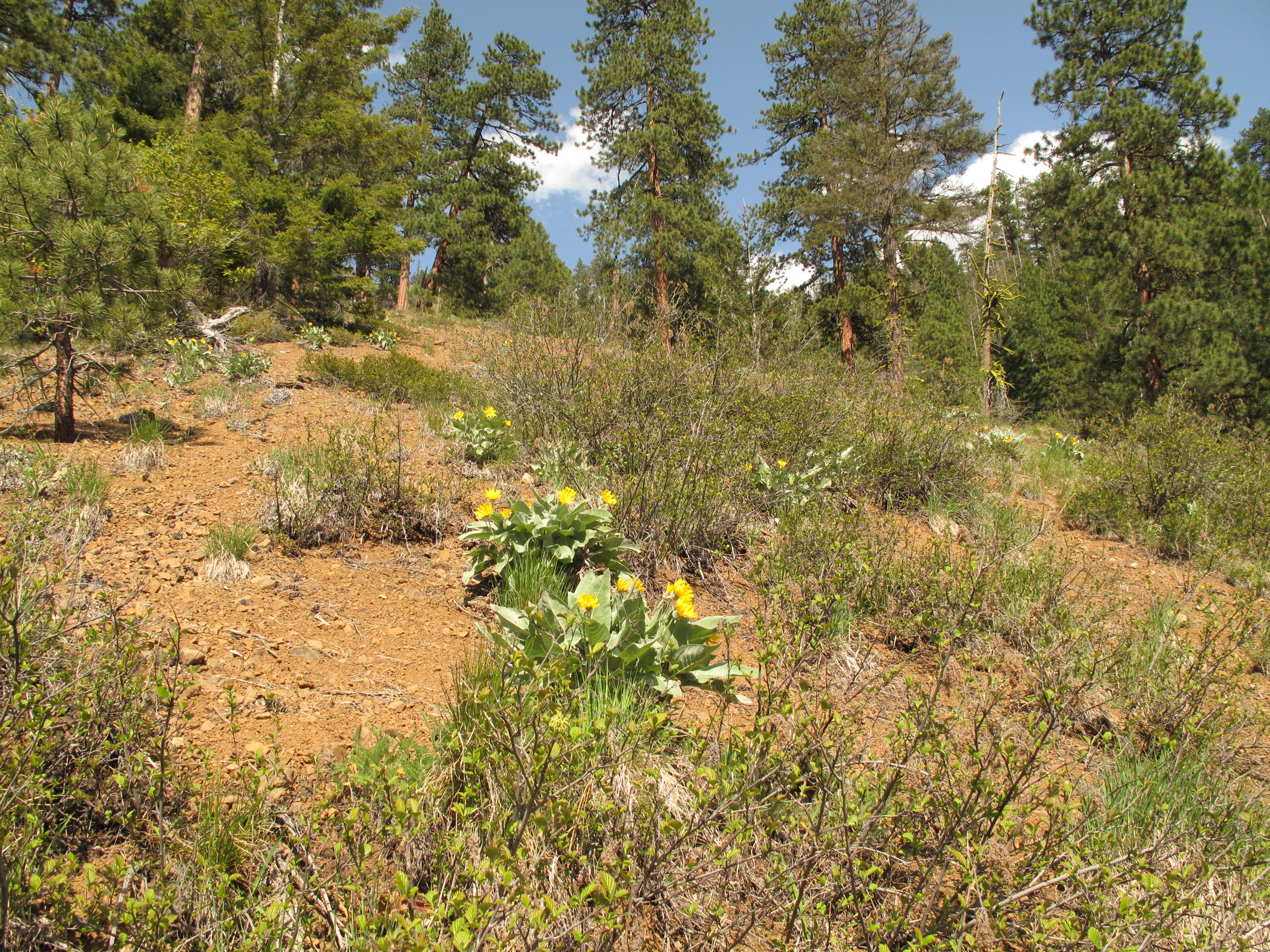
Jester mountain is 5,540 feet / 1,689 meters, and a 6 point SOTA summit. It is accessed via Iron Bear Trail #1351, whose trailhead is on Forest Service road NF-9714, itself reaached via SR-97, the Blewett Pass highway beween Cle Elum and the Leavenworth / Wenatchee area. The hike / scramble is between 7 - 8 miles round trip, with approximately 2,200 feet elevation gain, including a couple up and down sections. The last bit to the summit of Jester is and easy off trail walk up a steepish scree, sand and rock slope.
En route to Jester one passes immediatly below Peak 5,489 feet (sometimes called Iron-Bear Peak). We stopped there for the fantastic views and to take a snack break. There were approximately 19 people on that spot, so we did not linger long, and headed over to Jester, about 1/2 mile away. Fortunately, we had Jester all to ourselves, and enjoyed about 1 1/2 hours on top in sunny weather.
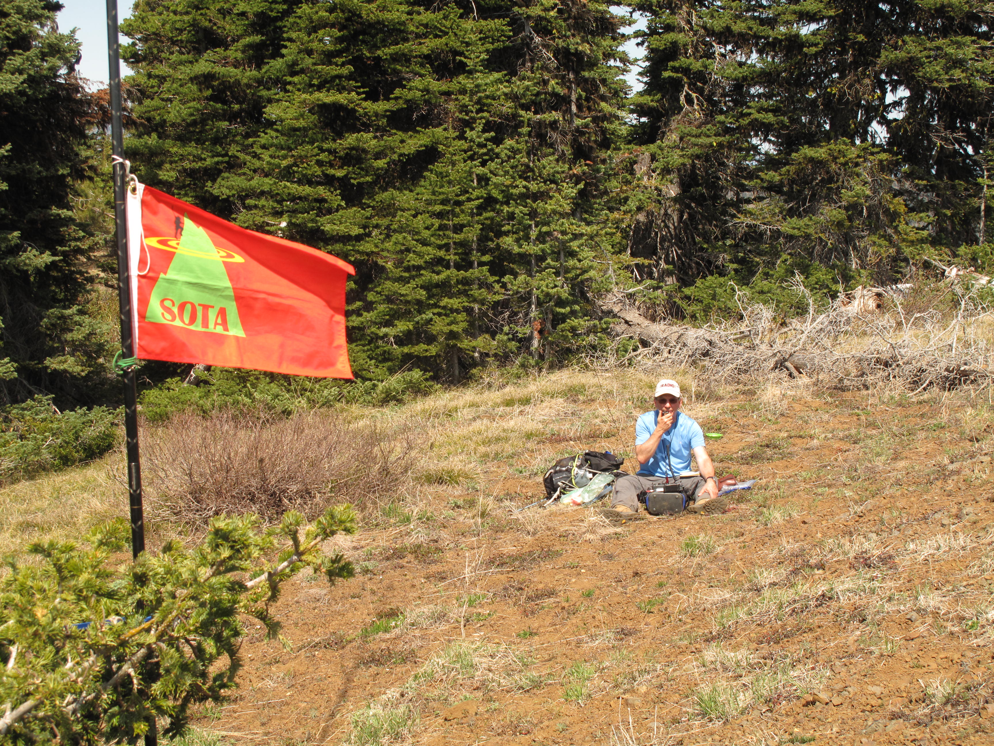
All contacts were made on 40M, as I had no luck on 20M or on 2M FM. I used my usual setup: Elecraft KX3, 20M / 40M Linked Dipole in Inverted V configuration hung from my 25 foot carbon fiber pole. Thank you very much to all my contacts: W6FHZ; AB7SI; KF7PCL; KA7OZO; W7FYV; WN1Z; W7AEB and W7BBA