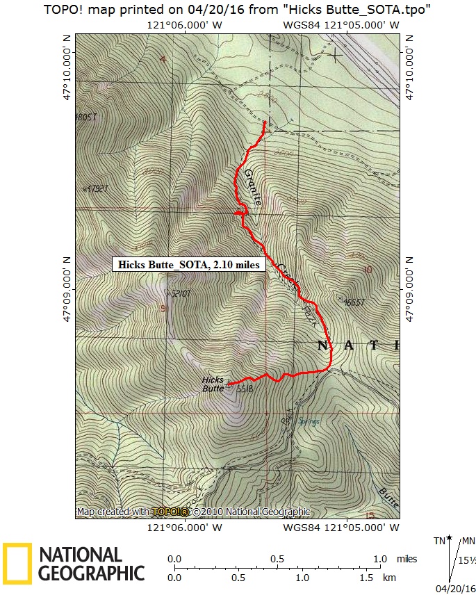
This was a joint SOTA Activation along with my SOTA Buddy: Tim, KG7EJT. Hicks Butte, which had only been Activated once before, is a somewhat obscure SOTA summit located about 6.5 KM SW of exit 78 off I-90, between the towns of Easton and Cle Elum in Central Washington. Hicks Butte is a 6 point SOTA Summit, and is 5,518 feet or 1,682 meters high. Fine weather, great companionship, good views and a successful SOTA Activation yielded a great outing!
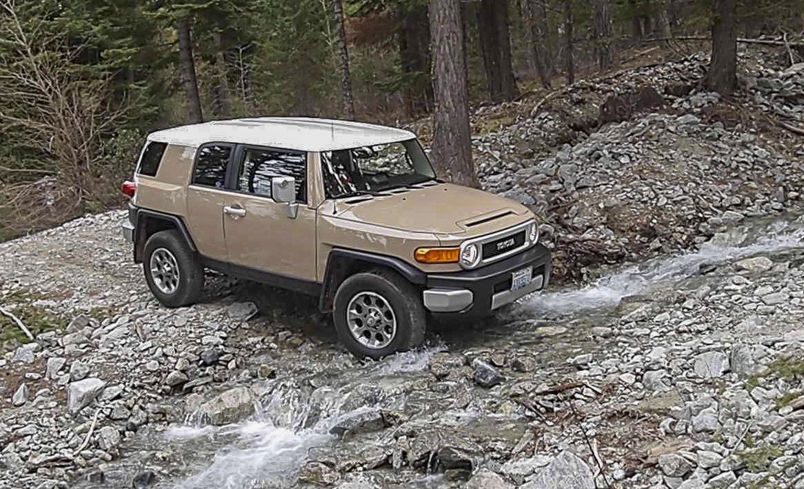
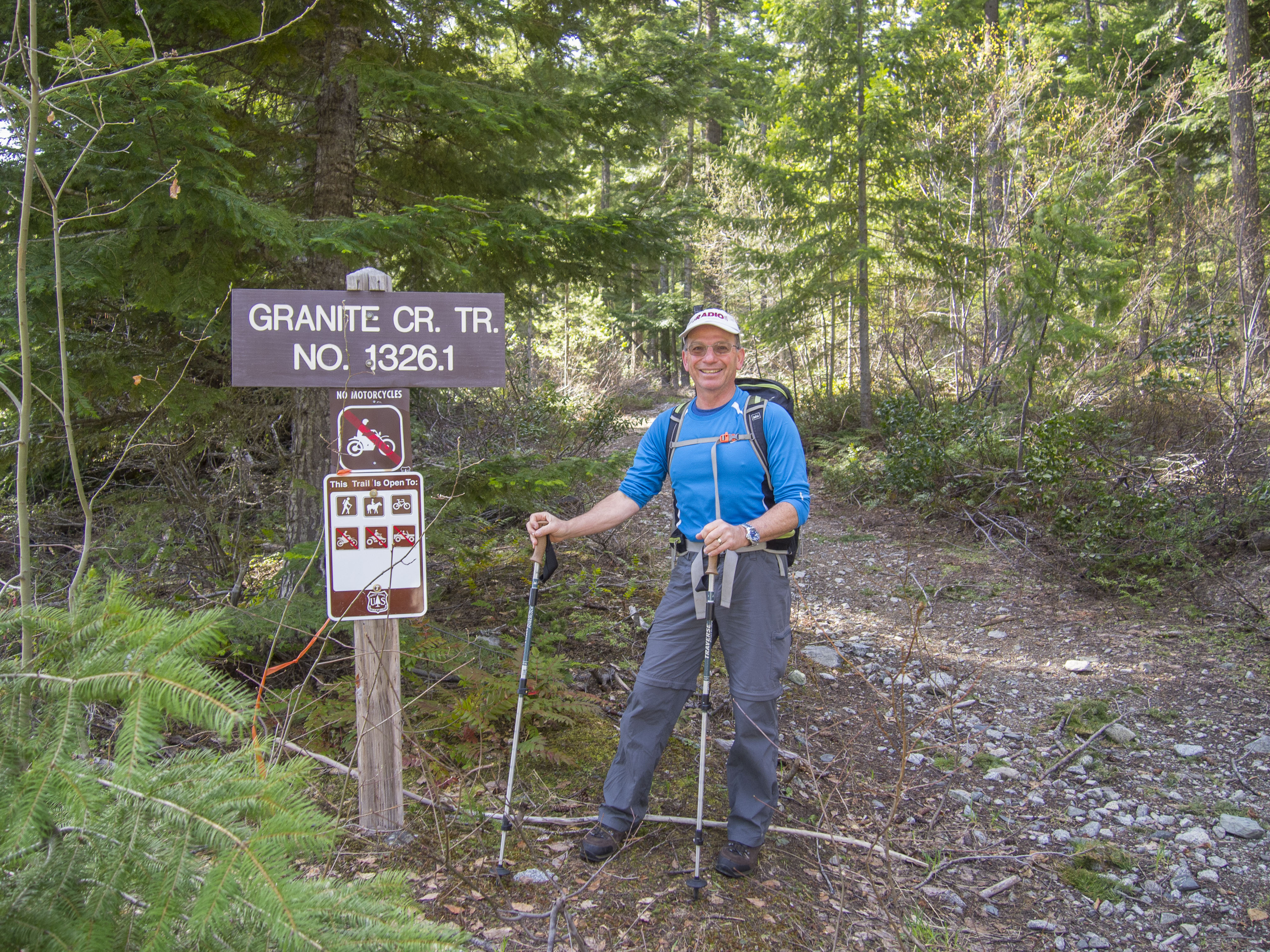
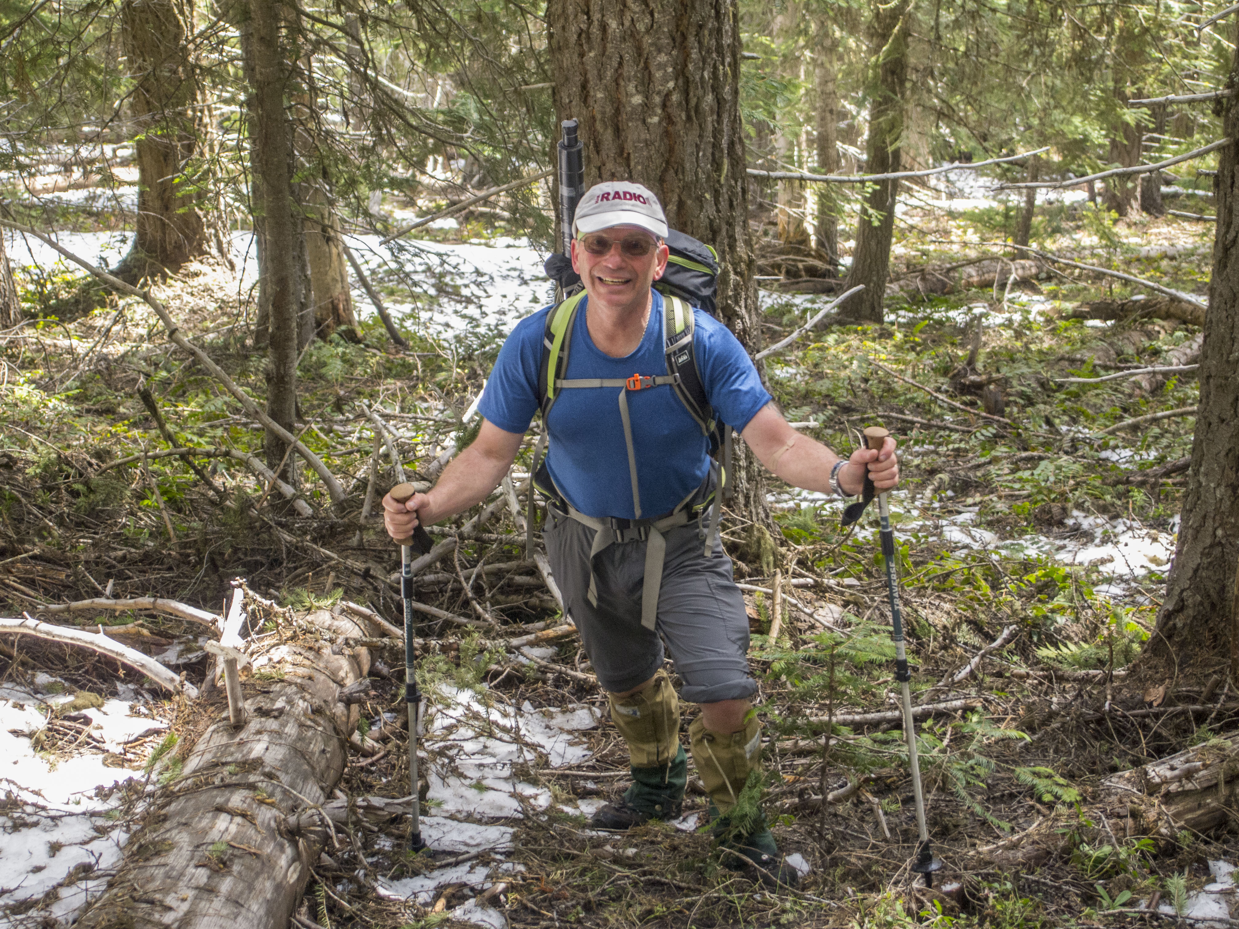
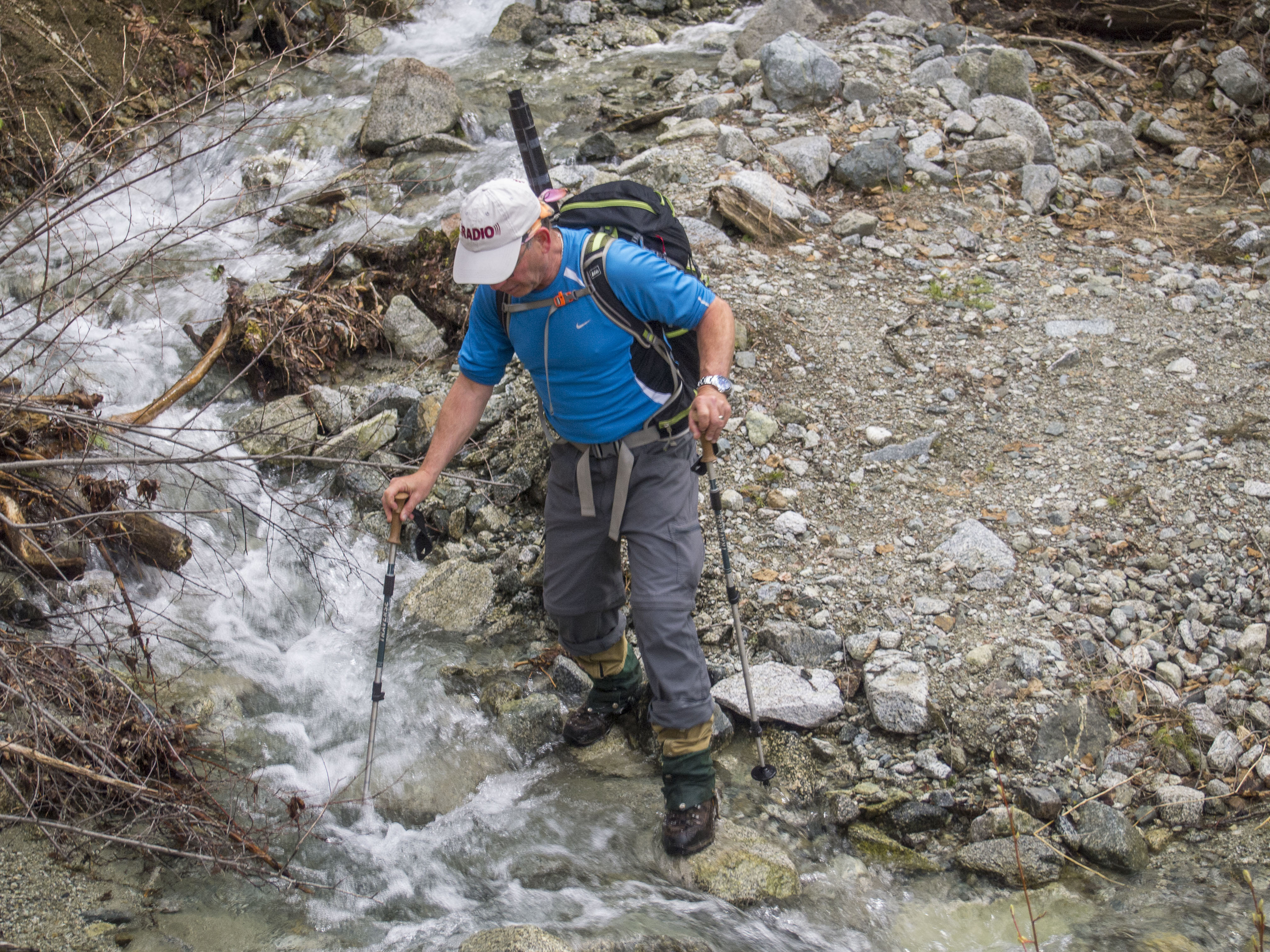
The TH is at 2,868 feet elevation, resulting in an elevation gain of 2,650 feet in about 2.10 each way...meaning it is relatively steep. The trail portion, about 75% of the way, is via USFS Granite Creek Trail #1326.1, a rather obscure trail suffering from infrequent maintenance, but appreciated none-the-less. See Link: http://www.fs.usda.gov/recarea/okawen/recreation/hiking/recarea/?recid=…; The Forest Service trail description for the Granet Creek Trail has driving details for access to the TH. Reaching the TH was a little confusing as some of the signs were severely weather worn and hard to read. The road is somewhat rough near the TH, requiring a stream crossing of Granite Creek just before reaching the TH parking area. Tim's Toyota FJ Cruiser was easily up to the challenge. There is room for just 3 - 4 cars at the TH. More info at: http://www.summitpost.org/hicks-butte/634767
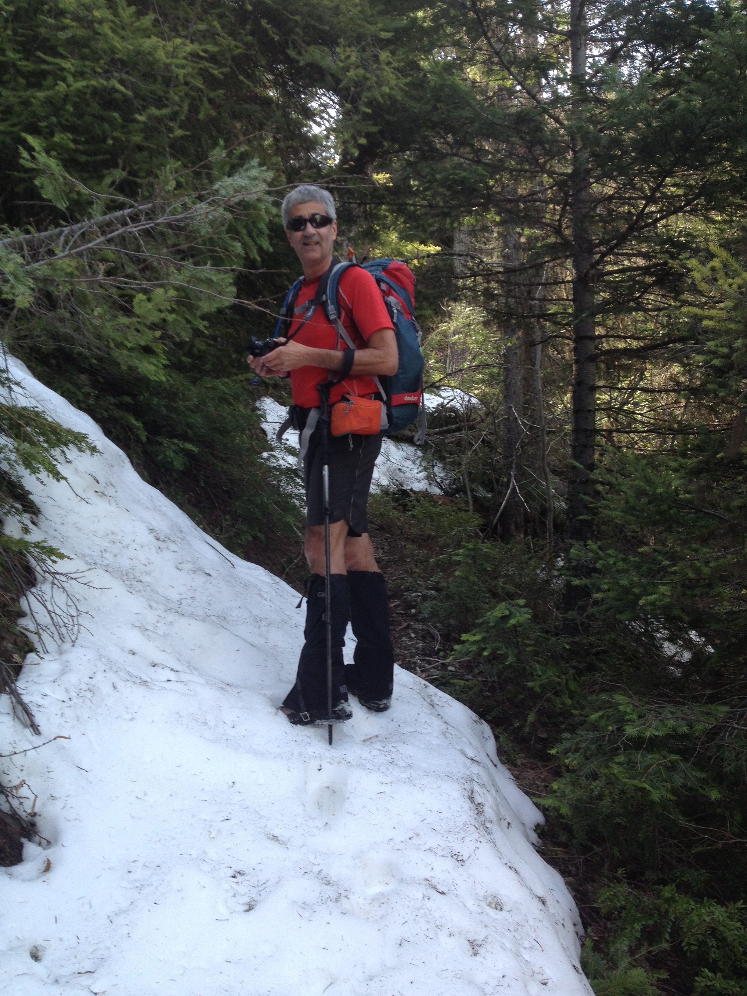
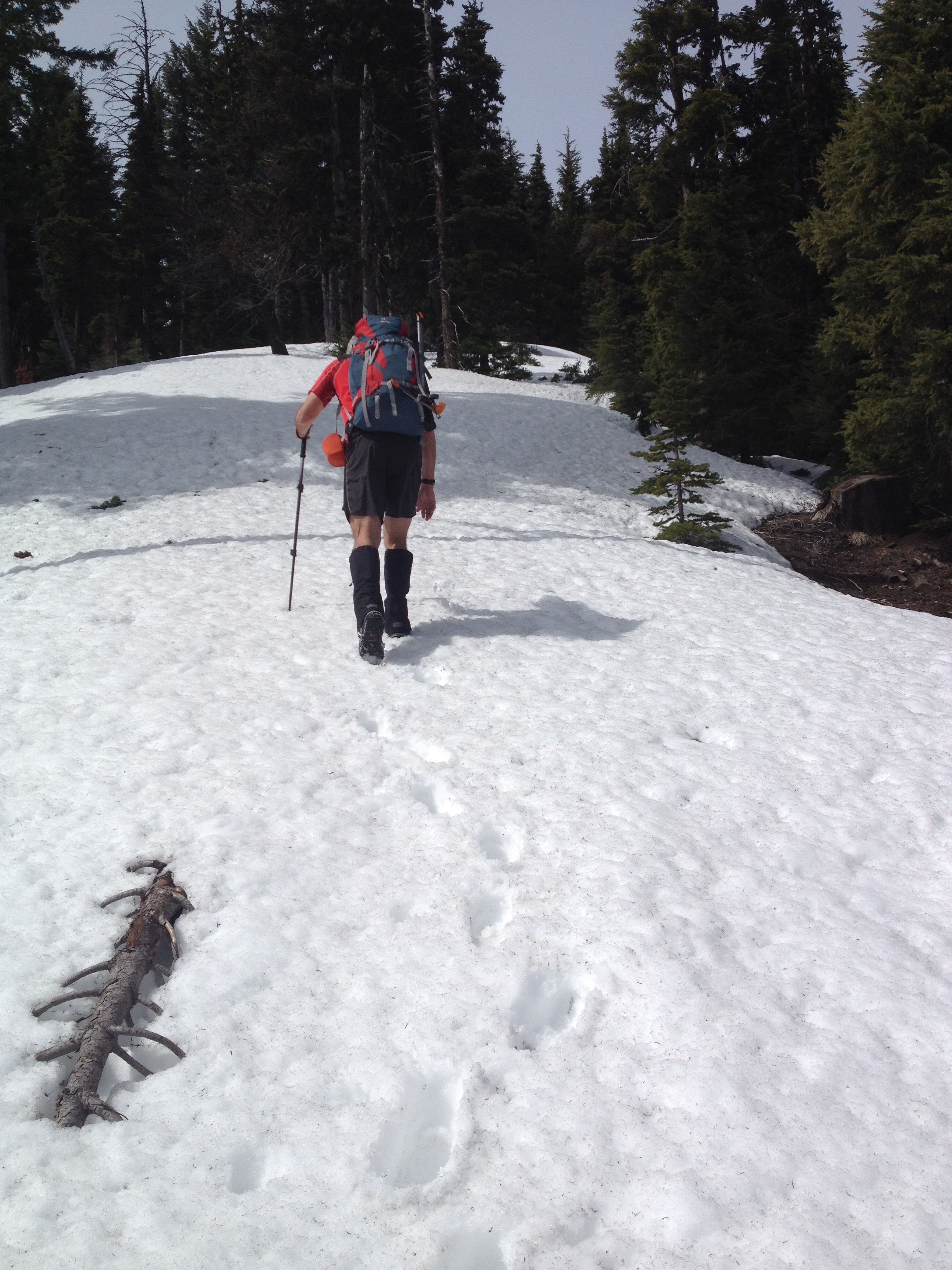
Granite Creek trail climbs steeply up the narrow canyon that it occupies. The trail crosses the creek twice, and the crossings were not too difficult. The water volume and the level of Granite Creek was definately higher in the afternoon than it was in the morning. We had to deal with blown-down trees, snow, stream erosion & lack of recent maintenace. After reaching the Cle Elum Ridge Trail #1326 junction and Forest Service road # 4510 at the pass below Hicks Butte, we turned West, had a further 900 foot elevation gain on snowy, off trail slopes. We were well prepared, and these presented no major obsticles. On this slope, we were serenaded along by the constant beat of a love sick woodpecker pecking away at a tree snag somewhere in the vicinity. The sound was so melodious, it was reminiscent of Ricky Ricardo's Famous Latin Band percussion section. I almost expected to hear Ricky Ricardo call out Lucy's name, and inquire about why she was sending Morse Code: "CQ SOTA CQ SOTA CQ SOTA, DE K7MAS". Amongst the entertainment, it took us 1 & 3/4 hours to reach the summit from the TH, as the last section involved steep snow and post-holing.
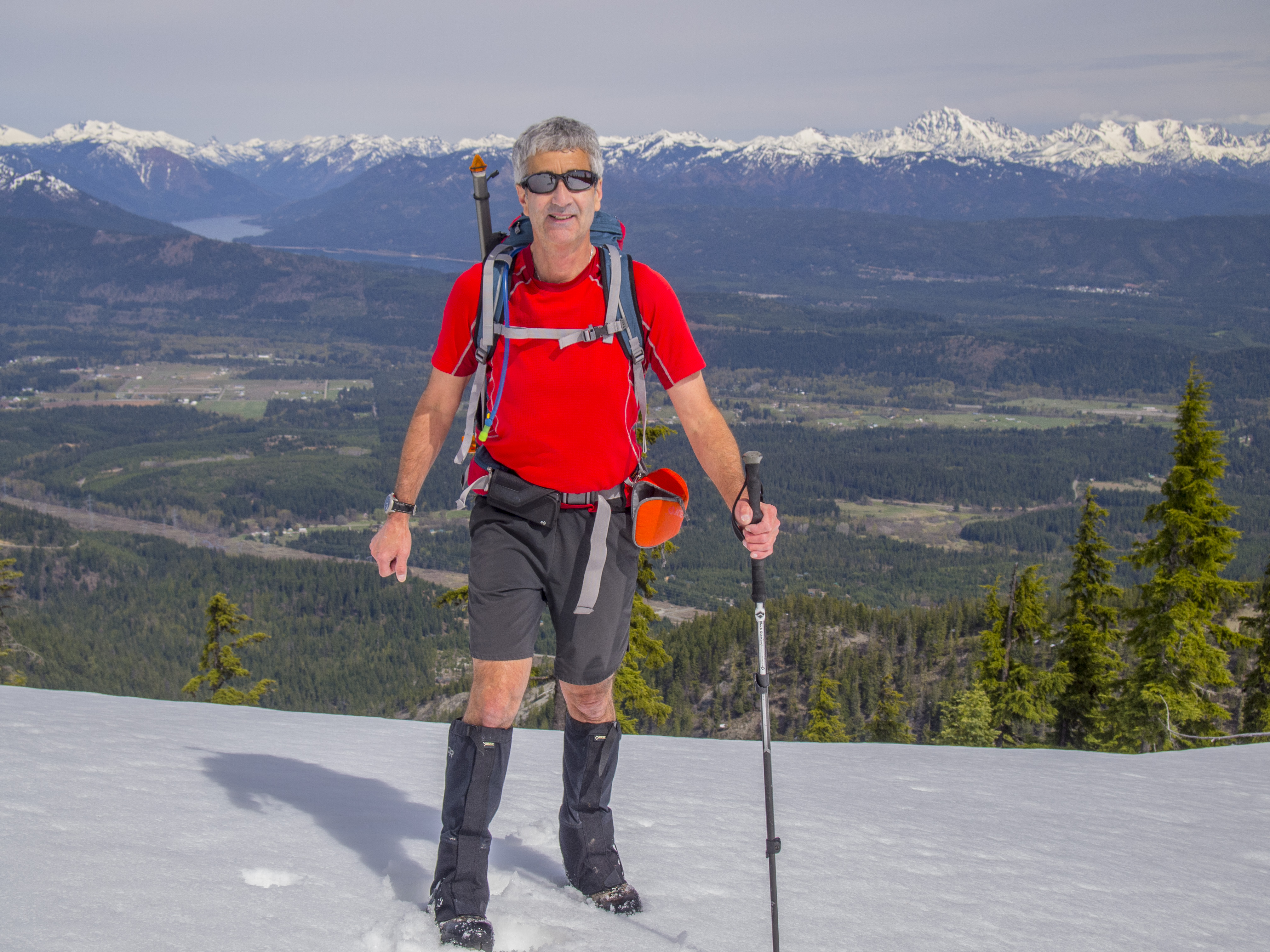
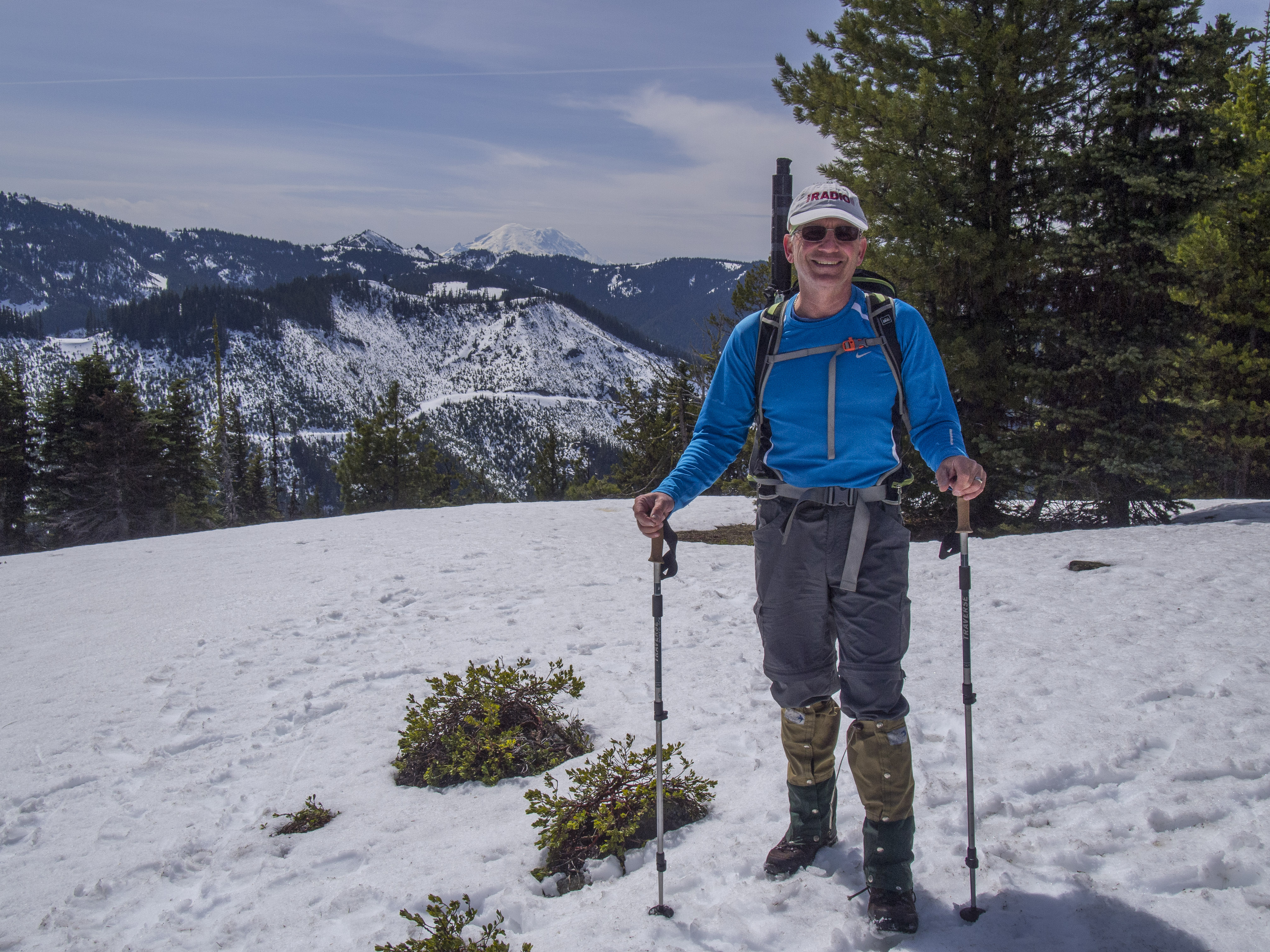
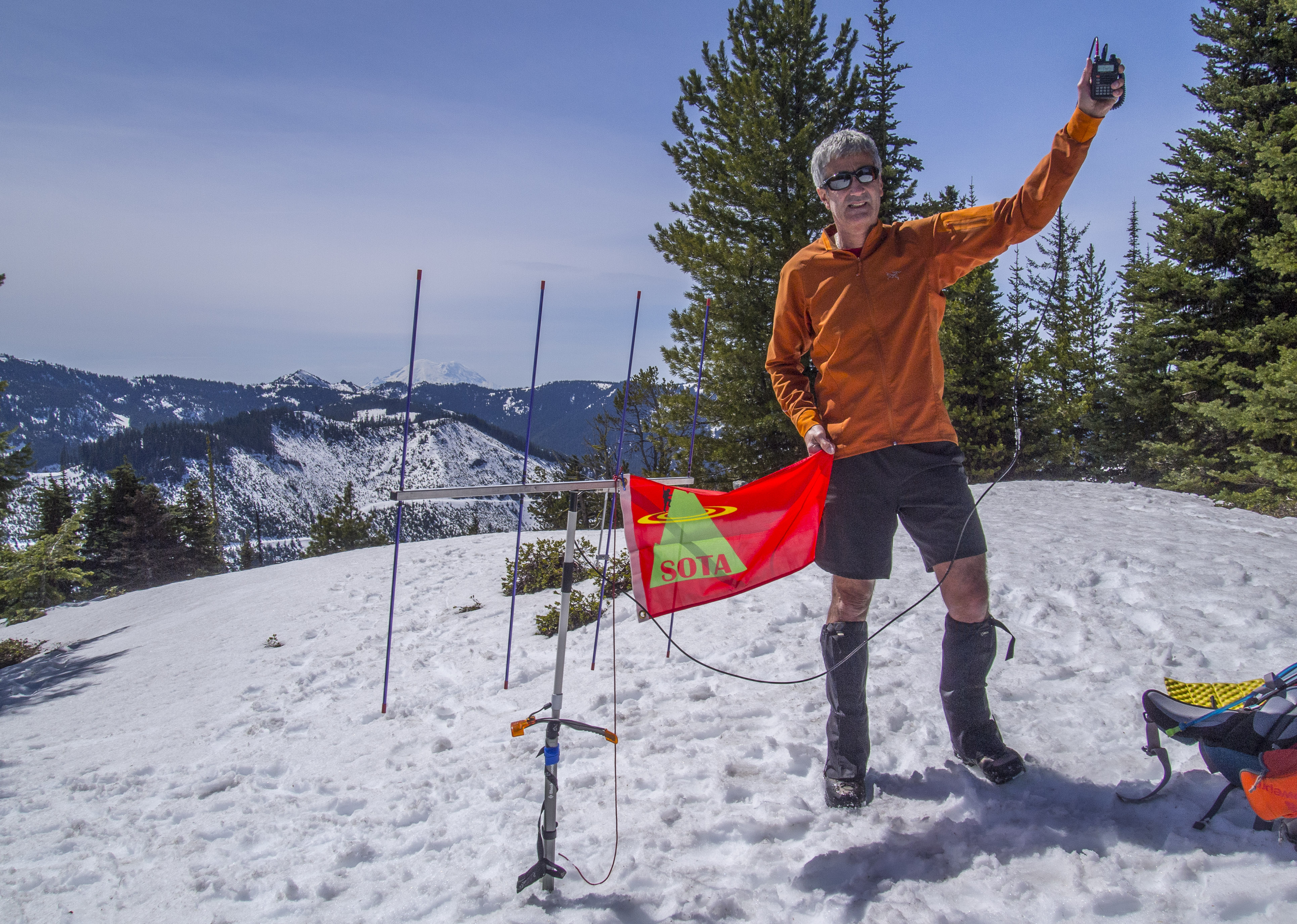
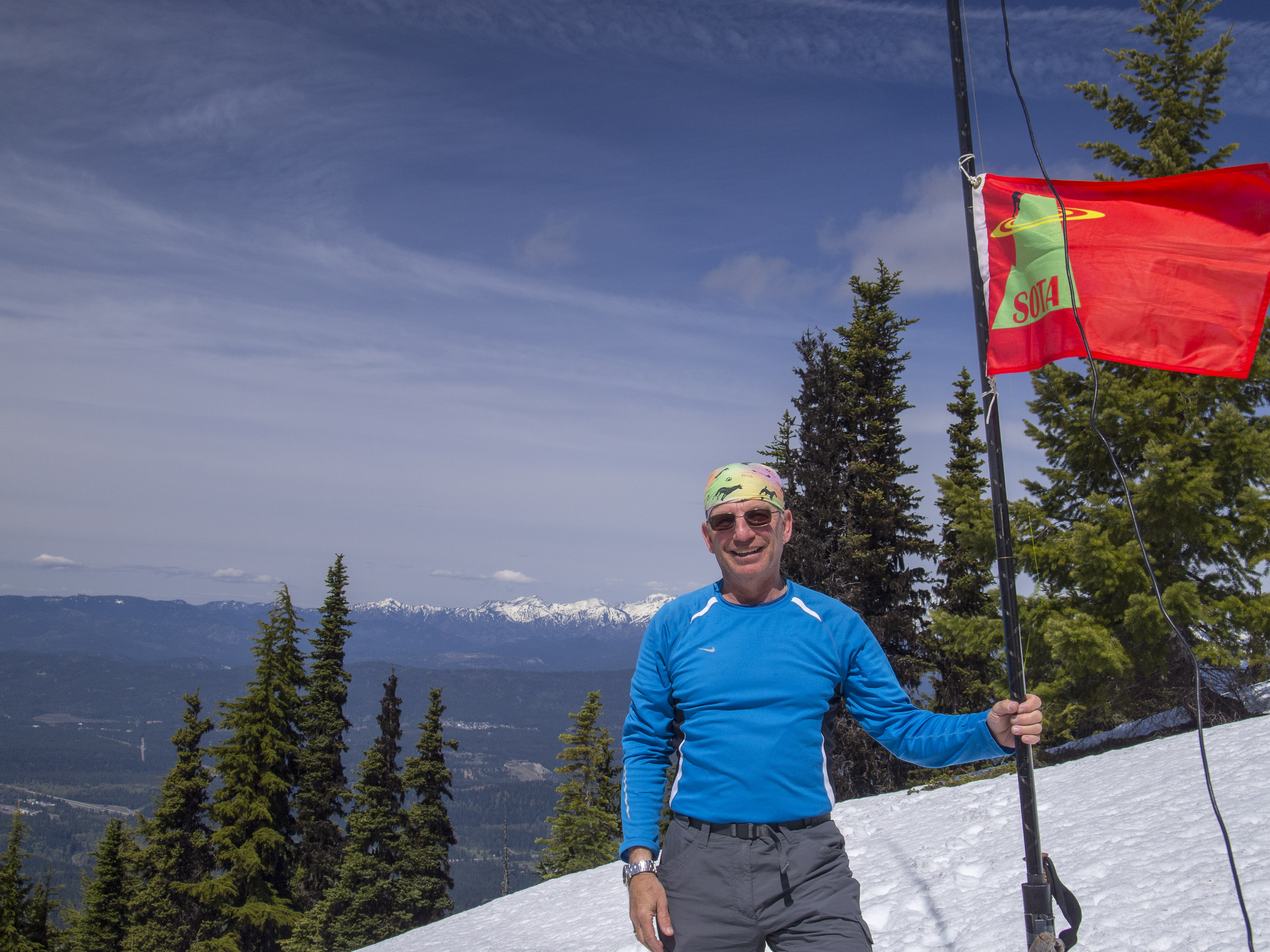
Once on the summit we took time to eat lunch and take in the very nice views, which included Mount Rainier in the distance to the South, as well as a wide array of Central Cascade peaks including the entire Stuart Range. Tim set up for 2M FM operations, using his 4 element Yagi antenna and handheld radio. I set up for 40M operations using my Yaesu 857D radio, LiPo batteries and my 20M / 40M linked dipole antenna, set up as an Inverted V, slung from my 25 foot high carbon fiber fishing pole stuck in the snow.
In about an hour of operating, I made 14 X 40M contacts, despite the somewhat rough band conditions. Thank you to all the Chasers and contacts. I allways appreciate each and every contact I make from the mountaintops. My SOTA Buddy, Tim, KG7EJT, was also successful working 6 X 2M FM contacts, albeit with some difficulty.
I worked: KD7RTE; W6ZX; AF7OK; VA7XJ; KD7PAB; N7MLL; KF7WMM; VE7WSM; K7WEL; KF7WKR; KF7VWA; KK7TN; WB7BOW and WA7FGR.
Most Photos are by Tim, KG7EJT
End Report