On midwinter trip to Southern California to visit family, once again we set aside time for several SOTA Activations. This report details the Activation of Point 4202, off SR2, the Angeles Crest Highway, in the San Gabriel Mountains. I had previously Activated many nearby SOTA Summits, and had driven right below and by Point 4202 without being aware of it. Being our last day in So. Cal. we looked for a short Activation with easy to get to trailhead. Point 4202 fit the bill easy, allowing us to get back to Burbank in plenty of time to catch our afternoon flight from Burbank Airport back to Seattle.
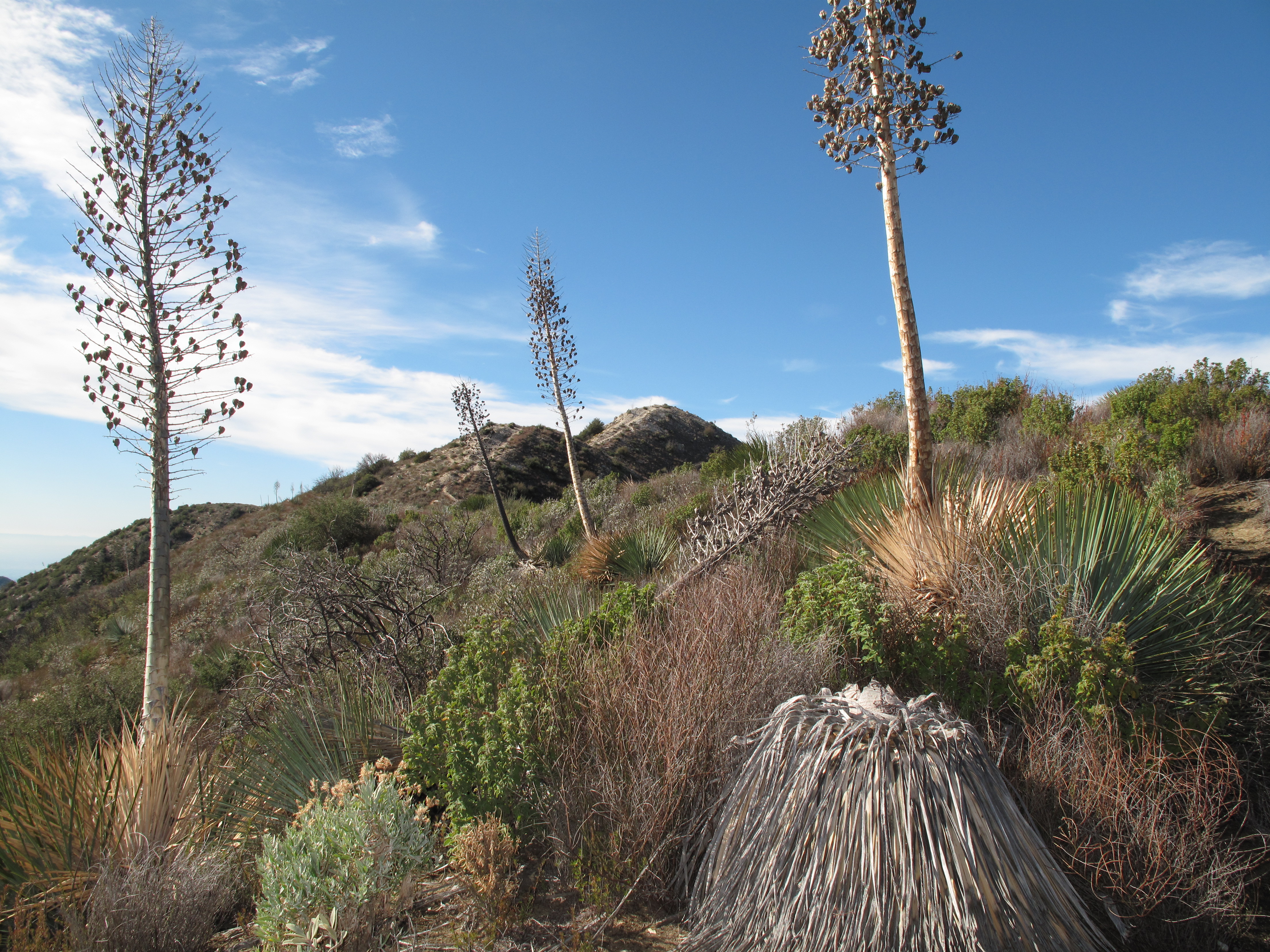
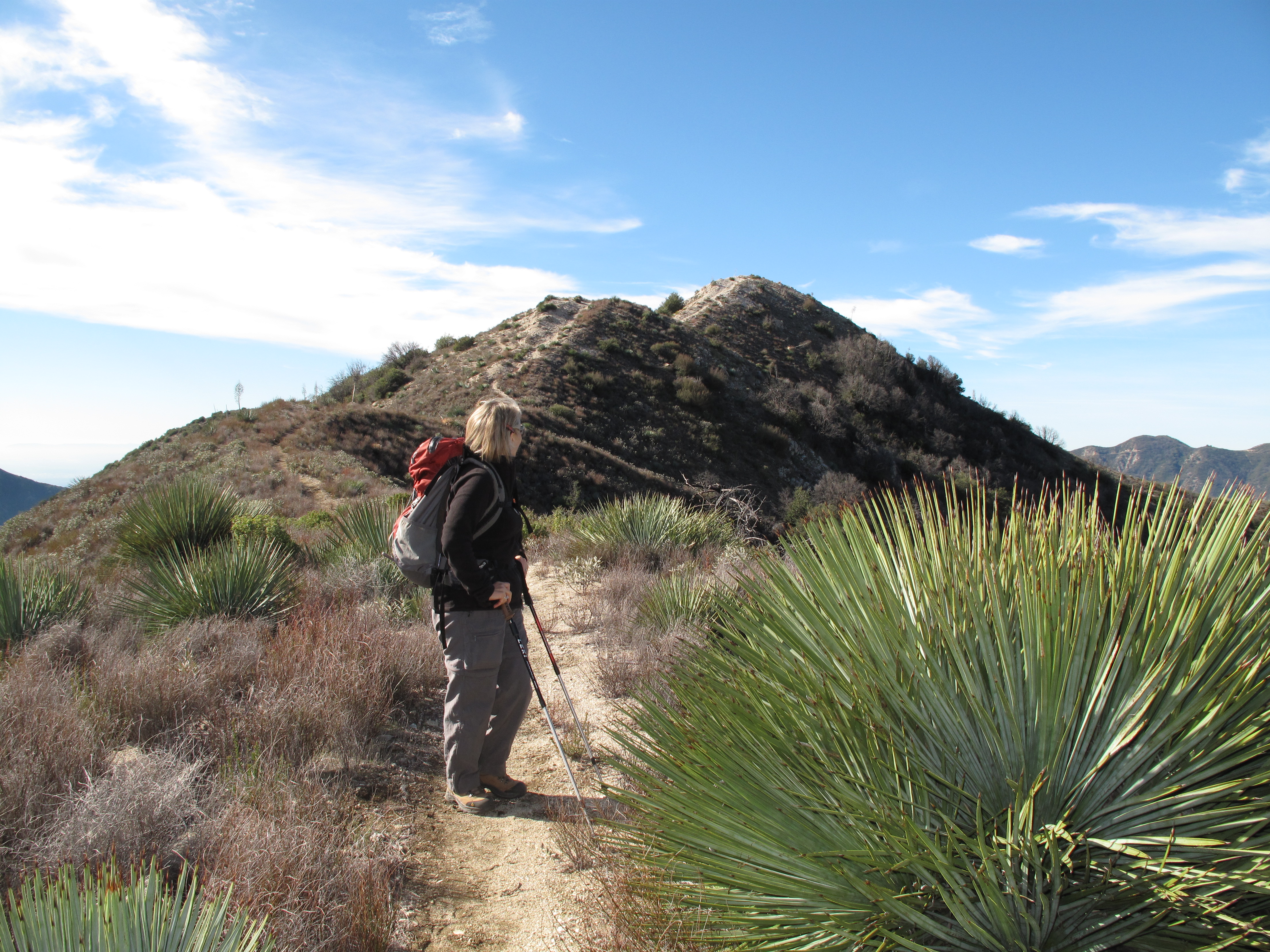
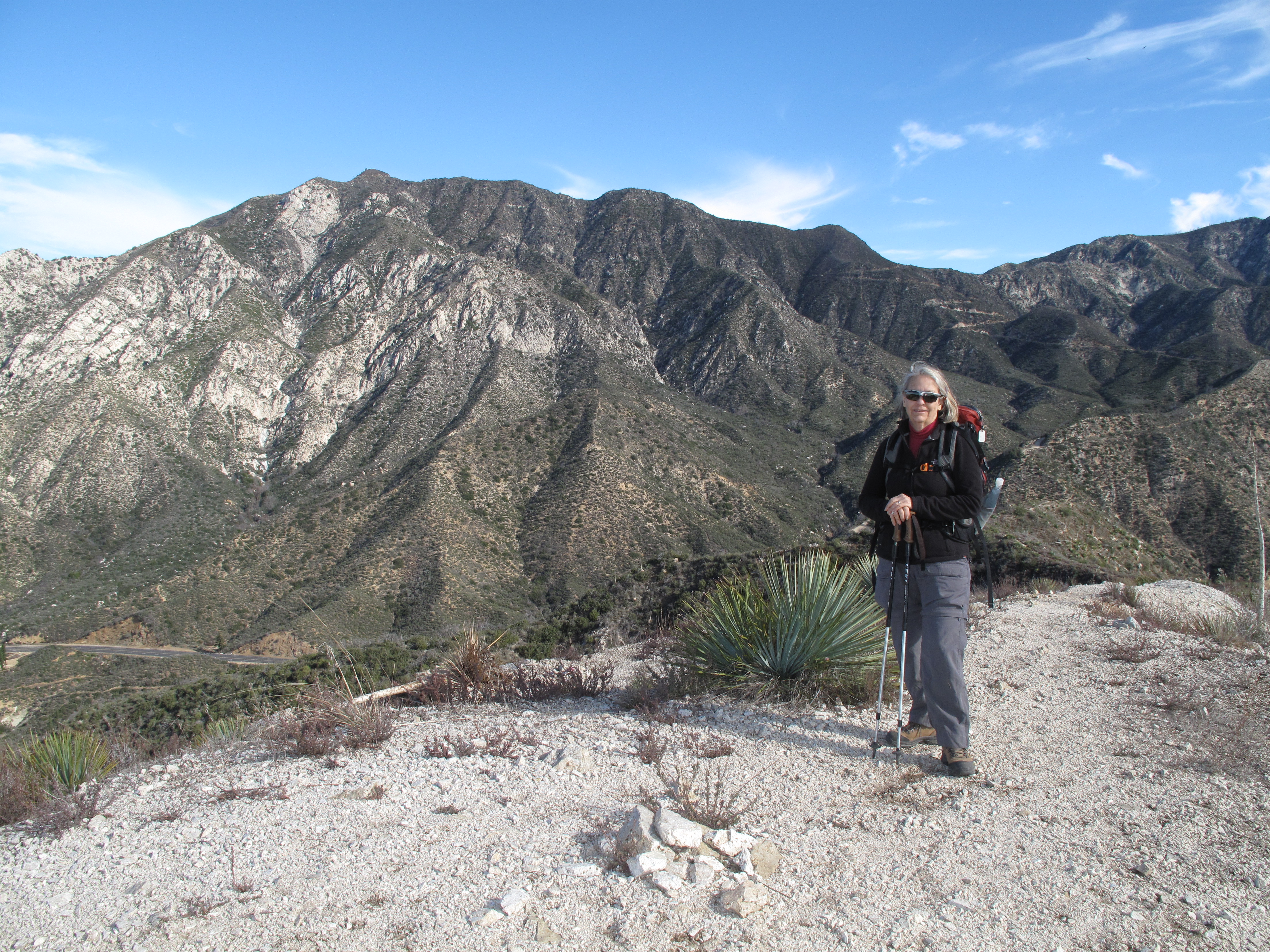
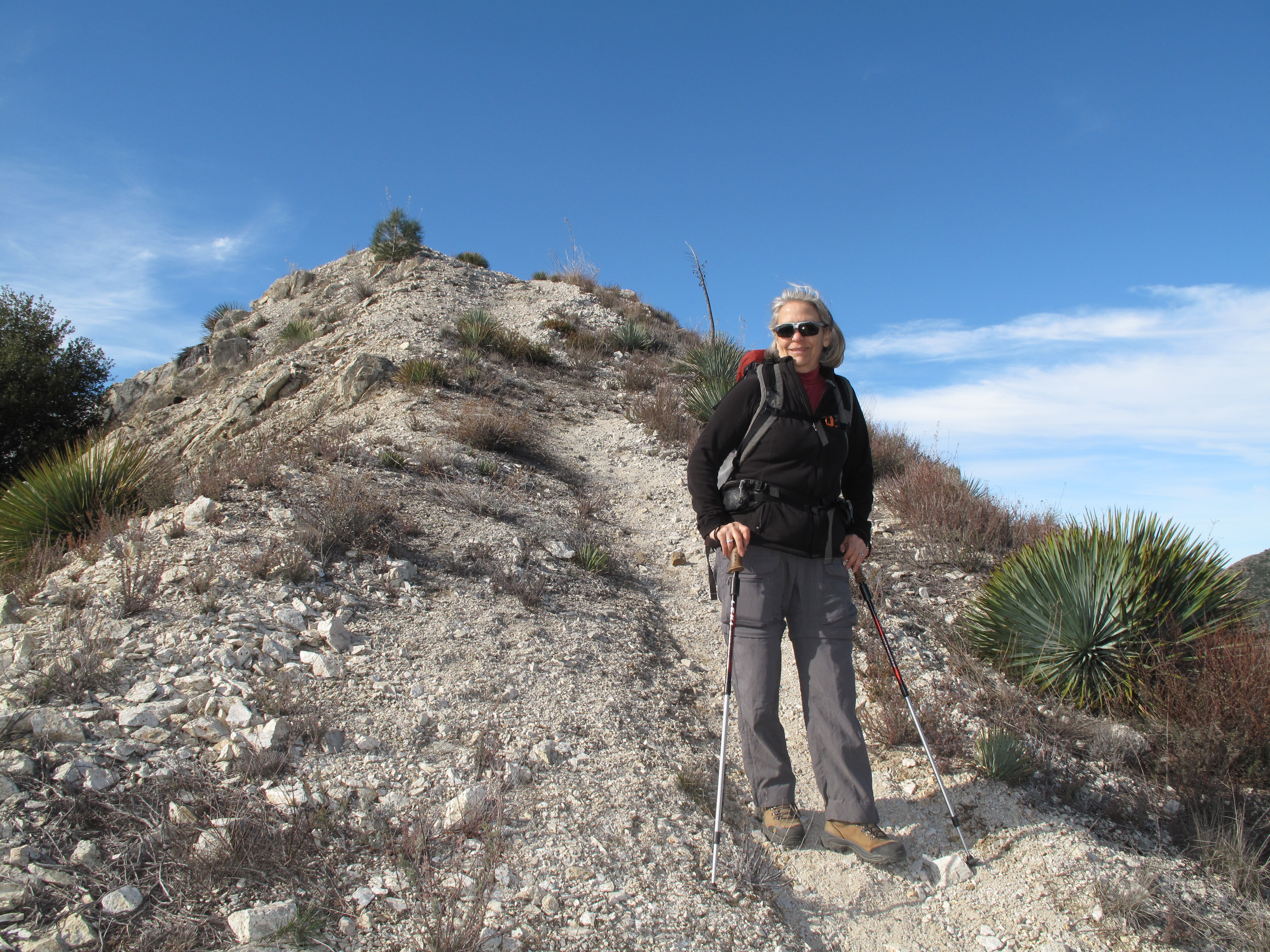
The TH is at the junction of Angeles Crest Highway, SR2 and the so called Angeles Forest Highway that leads to Palmdale on the north side of the San Gabriel Mountains. The hike covers approximately 1/2 mile one way and gains between 500 and 600 feet elevation. It starts and stays steep, all the way to a little plteau, just below the final push to the summit. It took us about 1/2 hour to summit. The views from the summit are very nice, including portions of the Los Angeles Basin, the nearby San Gabriel Mountains and SR2 far below.
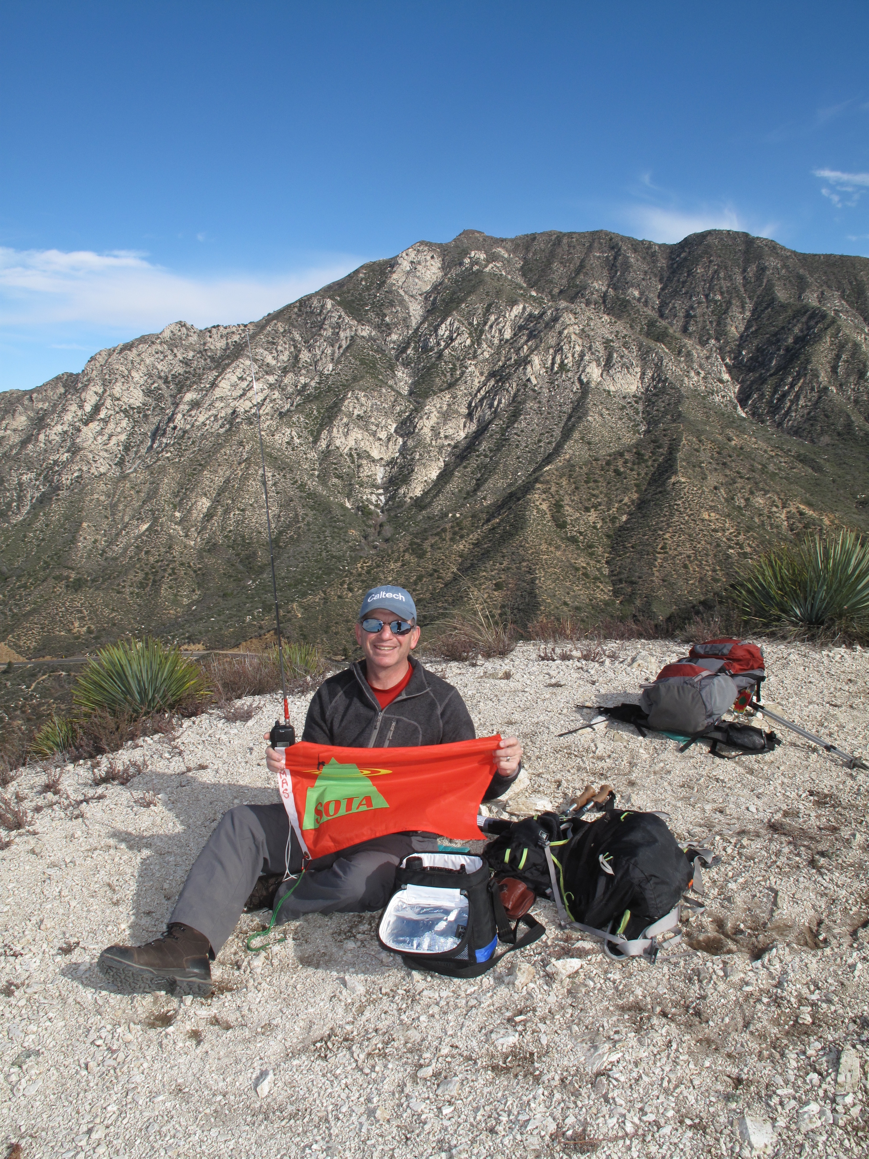
Because we had an afternoon flight to catch in Burbank, I started the Activation immediately with 2M FM. I had carried a full HF station up with me, in case I had no luck with 2M FM. As luck would have it, I manged to make 9 contacts in approximately 40 minutes of operating. All were on 2M FM.
Soon we were packing up and heading down, sorry to leave the warmth of So. Cal., knowing it would be raining when we returned home to Seattle area.
Thank you to all My Contacts! I always appreciate each and every SOTA contact. I worked: W6CJ; KW6MKY; K6VON; AF6XW; NG6R; KK6HRS; KK6OTJ; WA9STI; K6VNX.