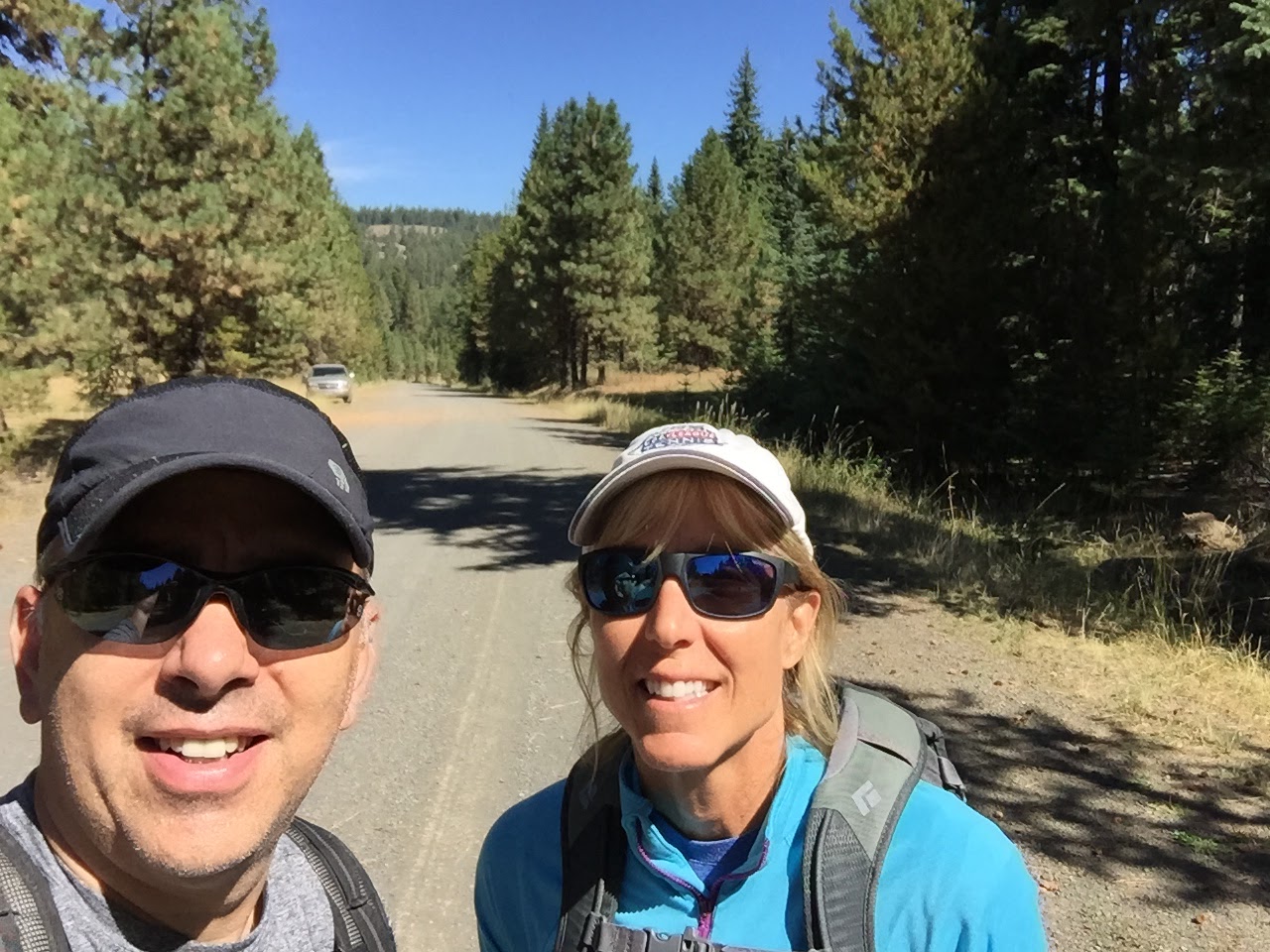
We spent the weekend climbing and camping at the nearby Spring Mountain climbing area. This is a great climbing area with nearby camping. Just a short distance away is Sugarloaf Mountain. It looked much forested and the road/trail access was questionable, but a previous activation said it was doable.
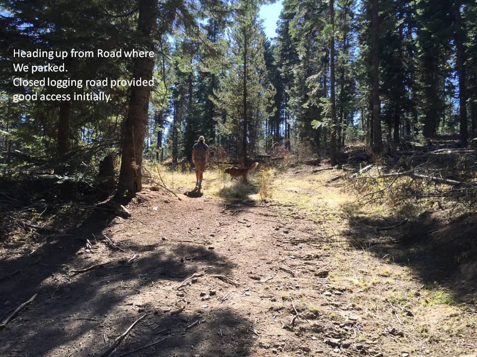
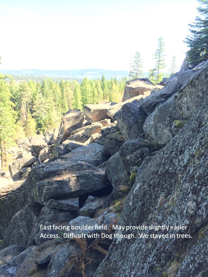
We located a likely access road on the NE side. This road was viewable on Google Earth. Upon reaching this road we found out that it was a closed logging road. Since the distance to the summit was pretty short, we just parked along the road and started up the closed road. A few large berms would make vehicle traffic impossible on this road.
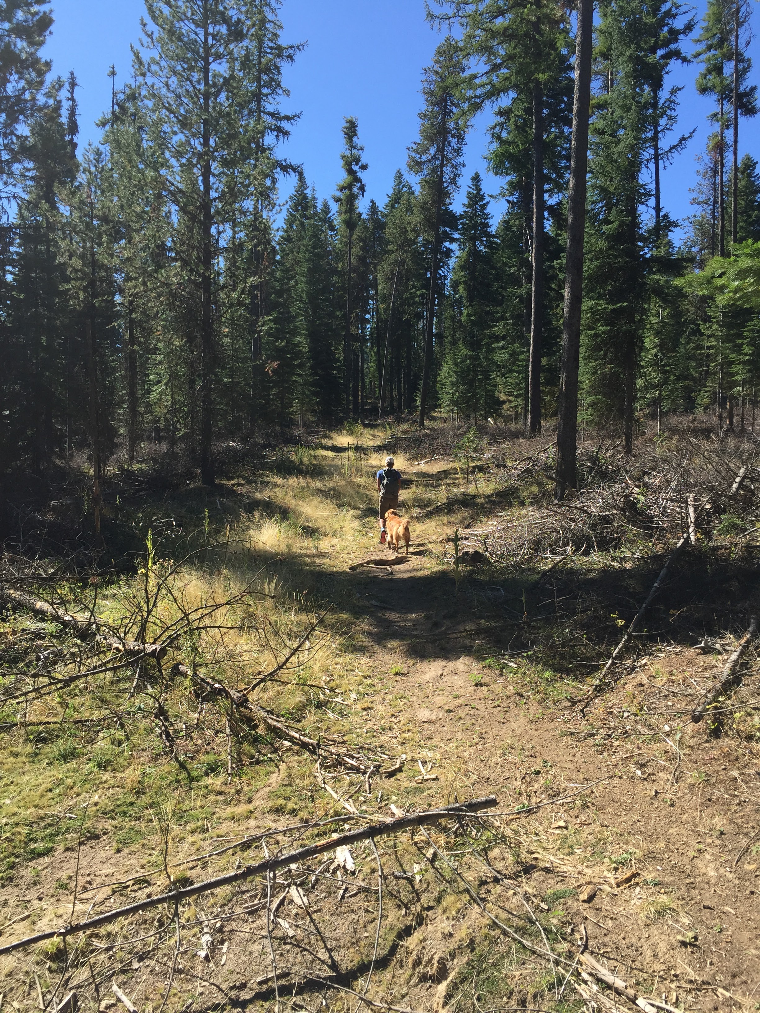
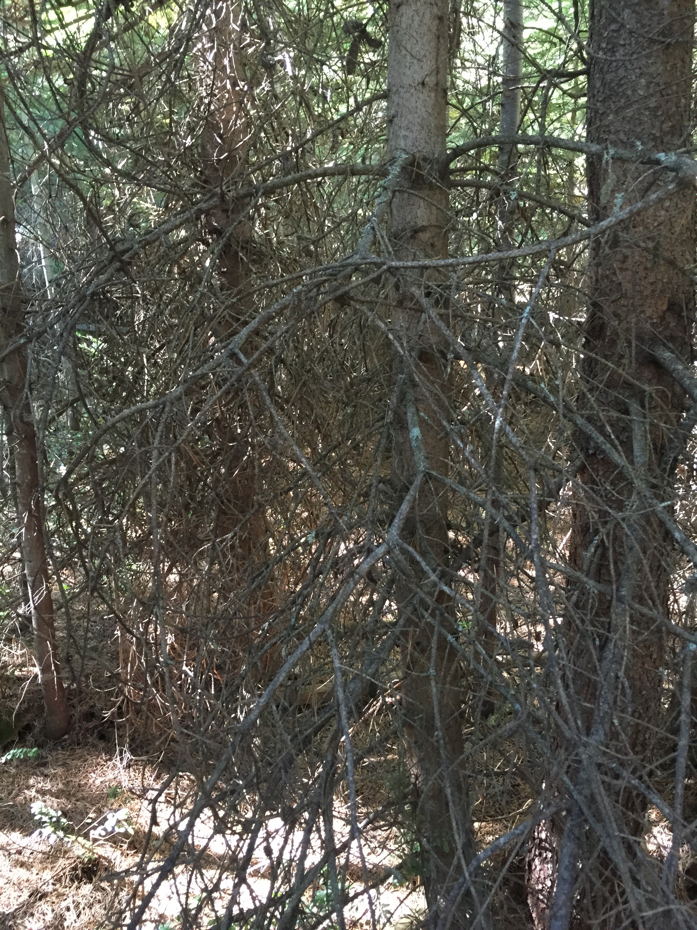
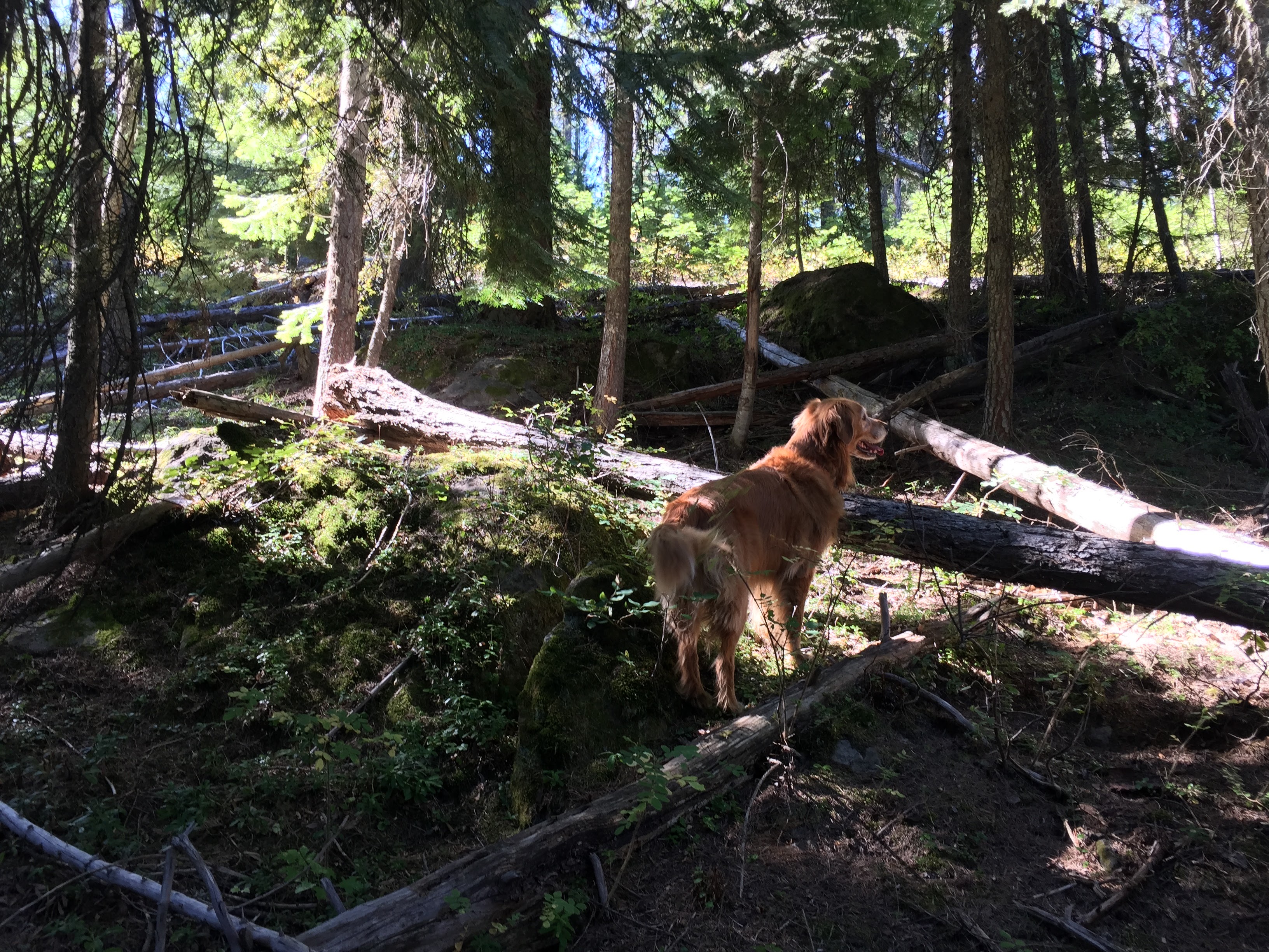
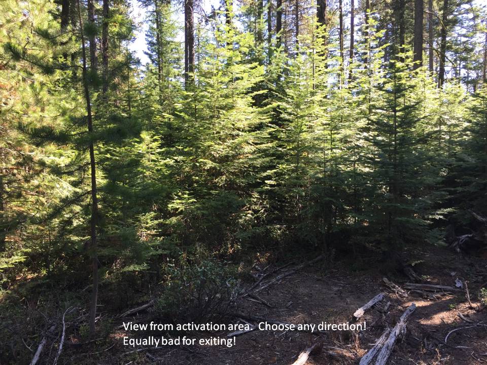
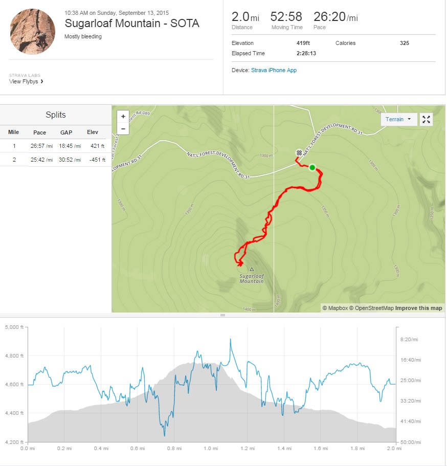
Things looked promising as the road traveled east for a ways and then turned south towards the summit. Heavy forestation made it difficult to see the actual summit so we relied on the GPS to keep us going in the right direction. The very nice logging trail soon ran out and we were greeted with a wall of dense trees. This dense wall of nearly impassible trees would be continuous all the way to the summit. It was not an ejoyable climb from here on out. I went first to clear the spider webs and my wife would follow behind. Our dog meandered back and forth and helped us find a few better paths.
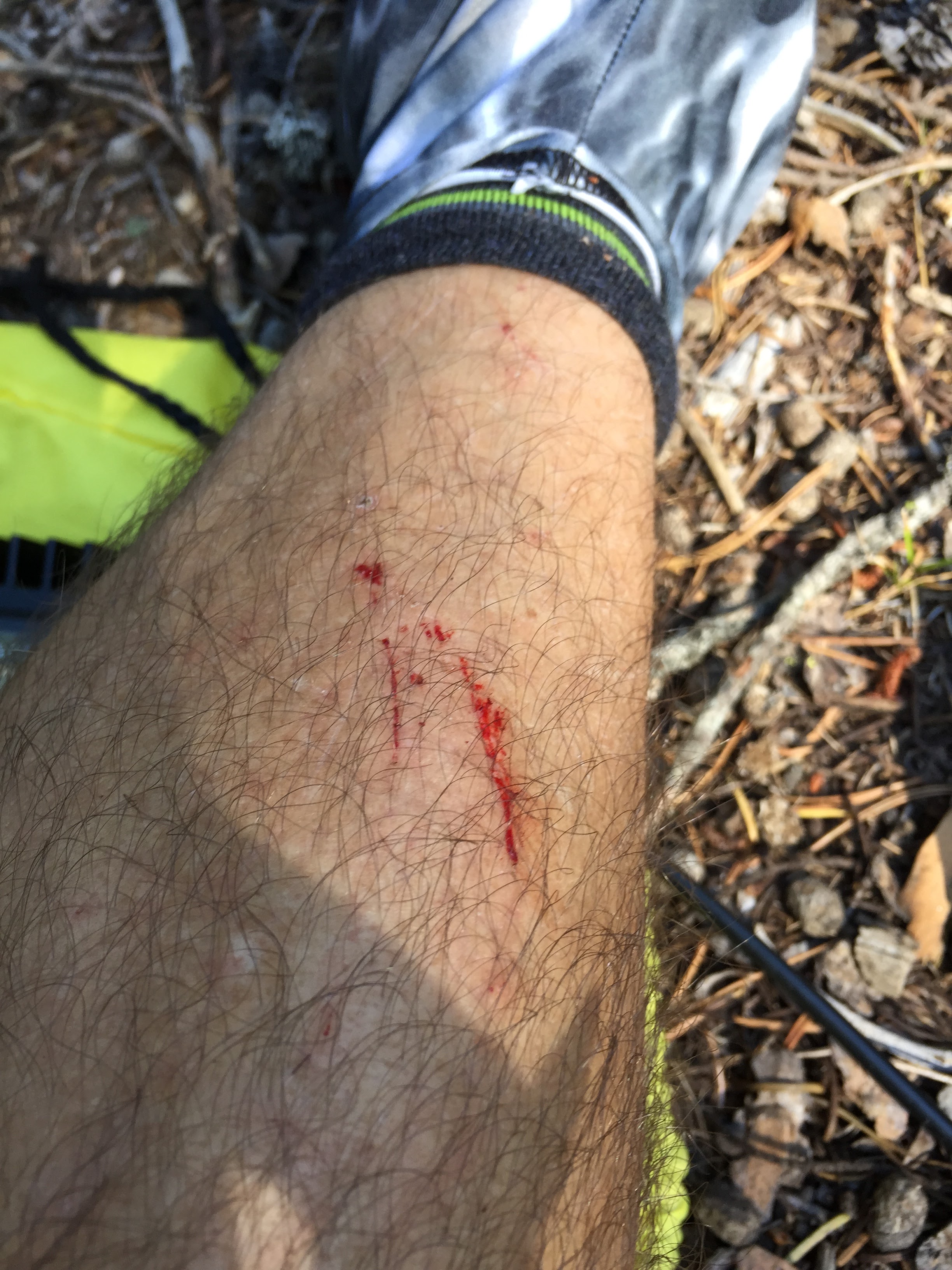
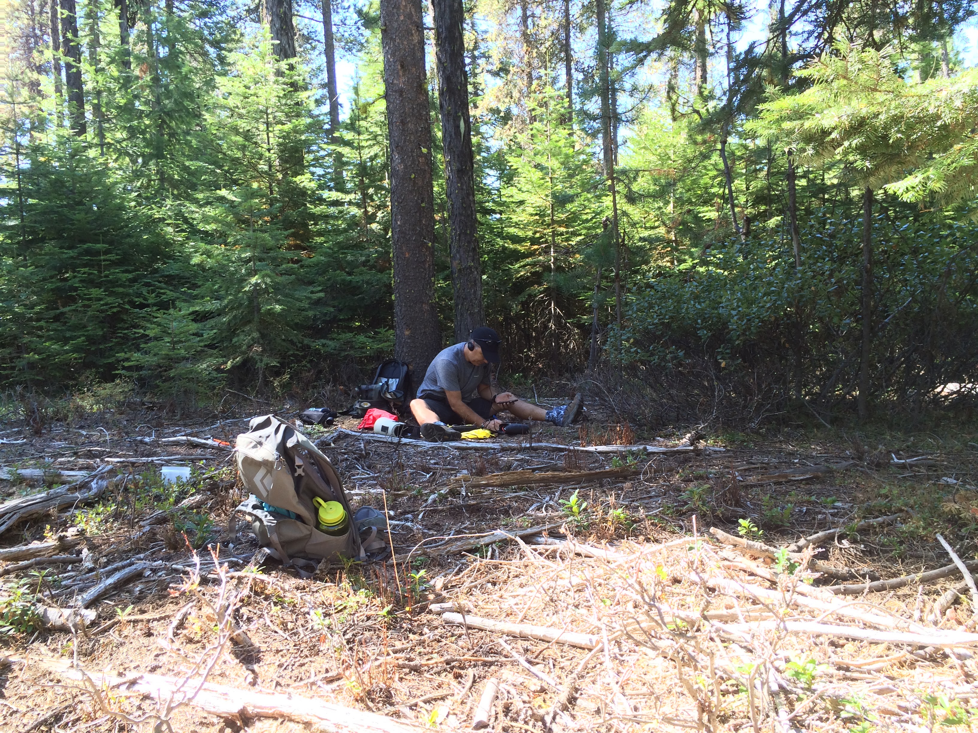
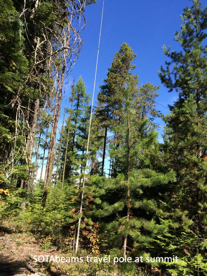
Eventually, after someblood letting from the sharp entwined branches, we came upon a small clearing which appeared to be created by the local deer or elk. This site was well within the activation zone, so stopped here and got out the radio. There was no views from here.
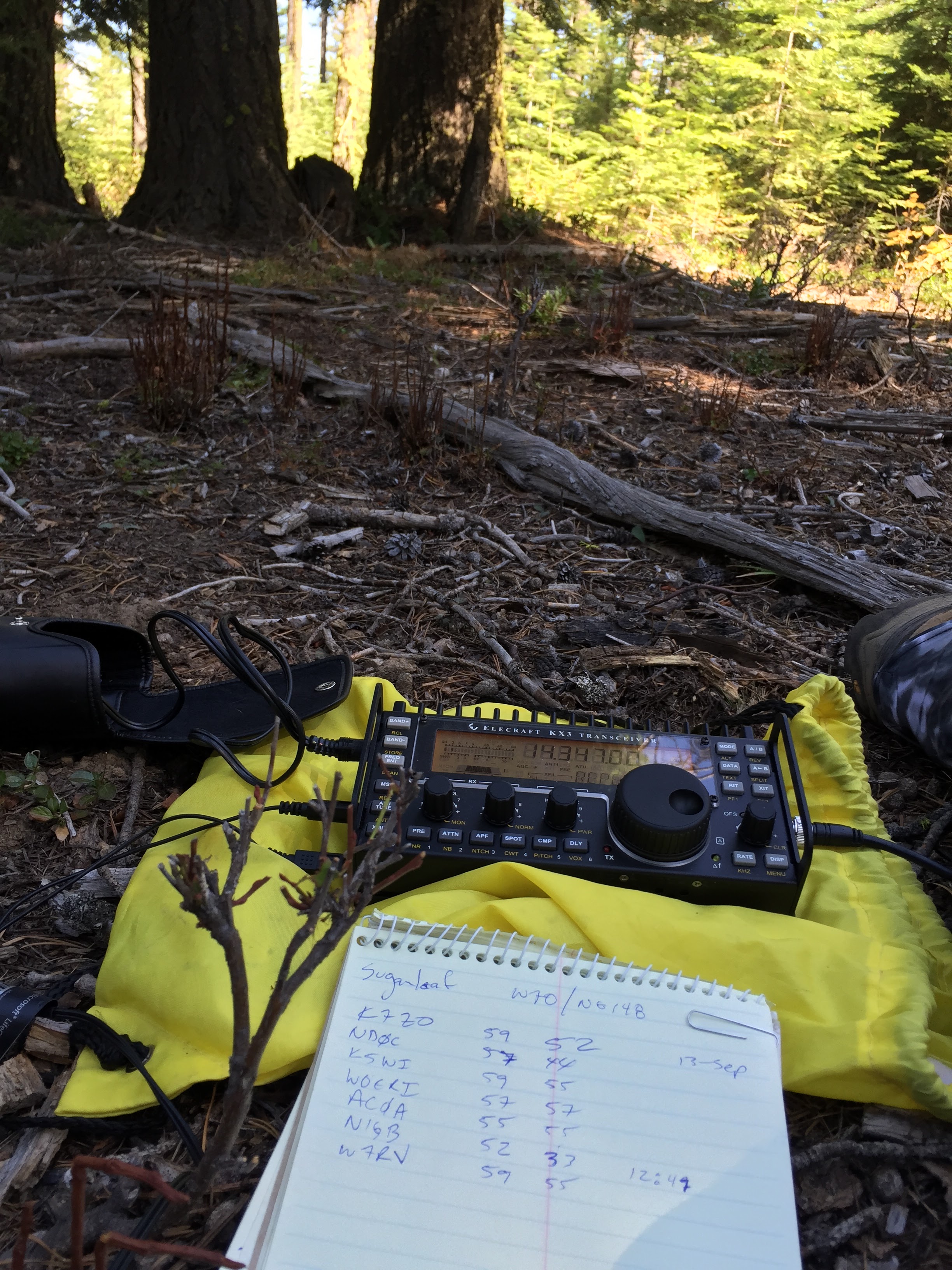
Luckily decent cell coverage was available for self-spotting and we made a handful of QSO's. Not as many as I thought, but there was a few other SOTA activators on at the time with higher point value. 7 QSO's on 20meter and none on 40 meters after calling for a while. We decided to pack up and head back to the car. The descent was equally as bad including our dog getting her face into a wasp nest and getting stung multiple times.
Lots of work for 2 points!
Thanks for the Q's and see you on the next summit!