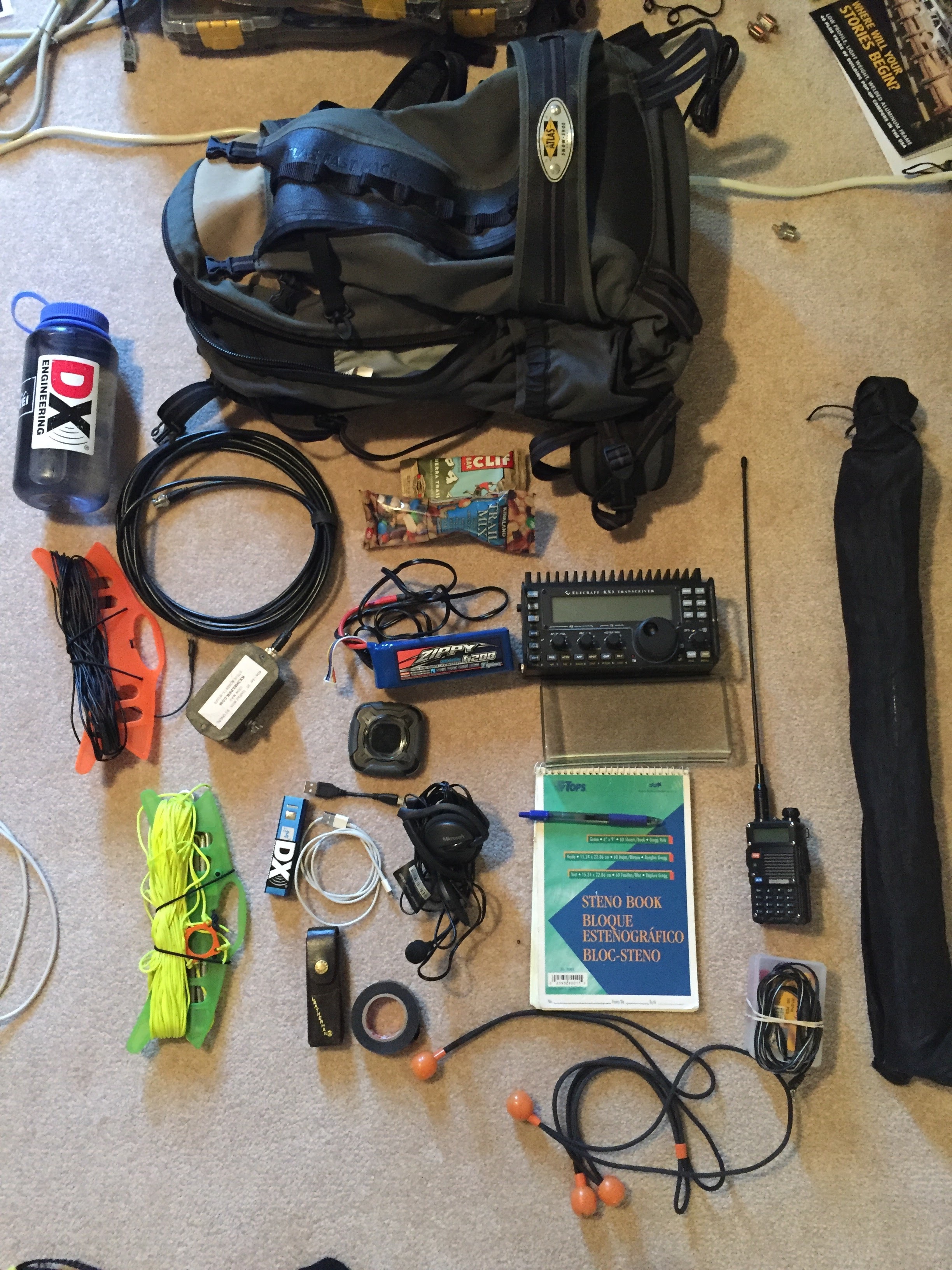
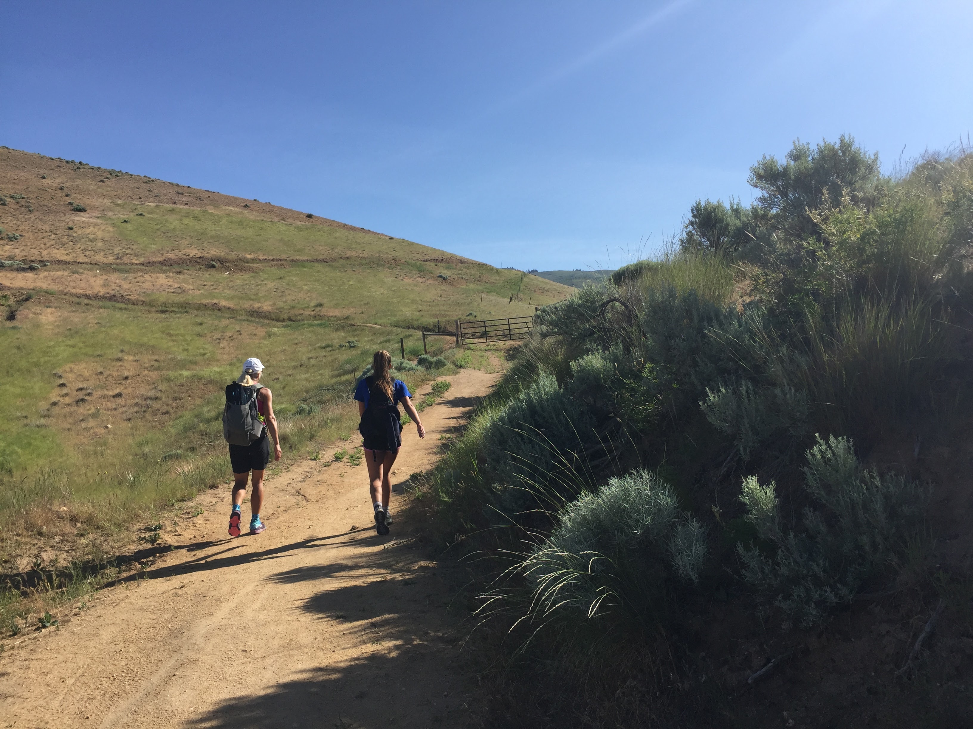
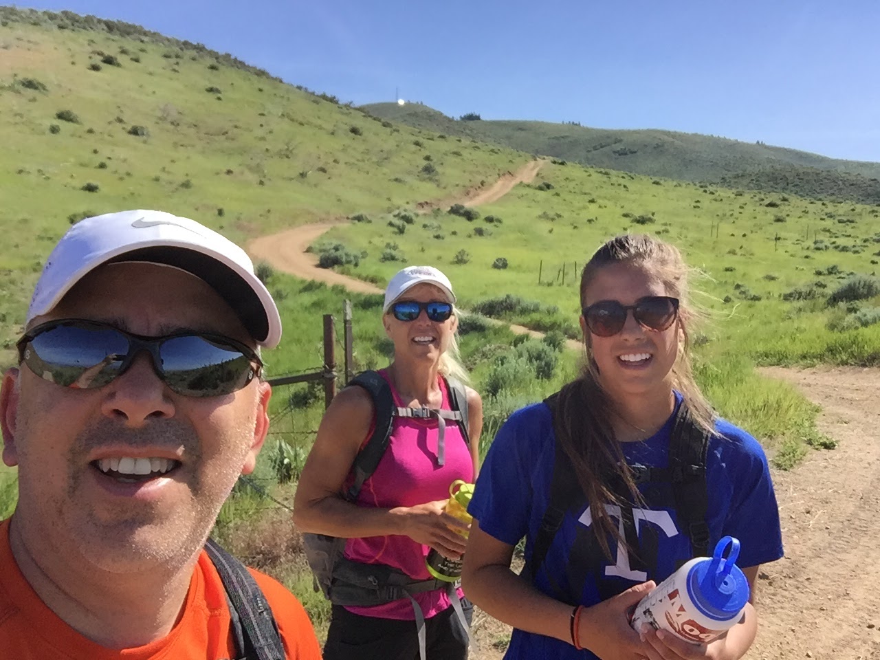
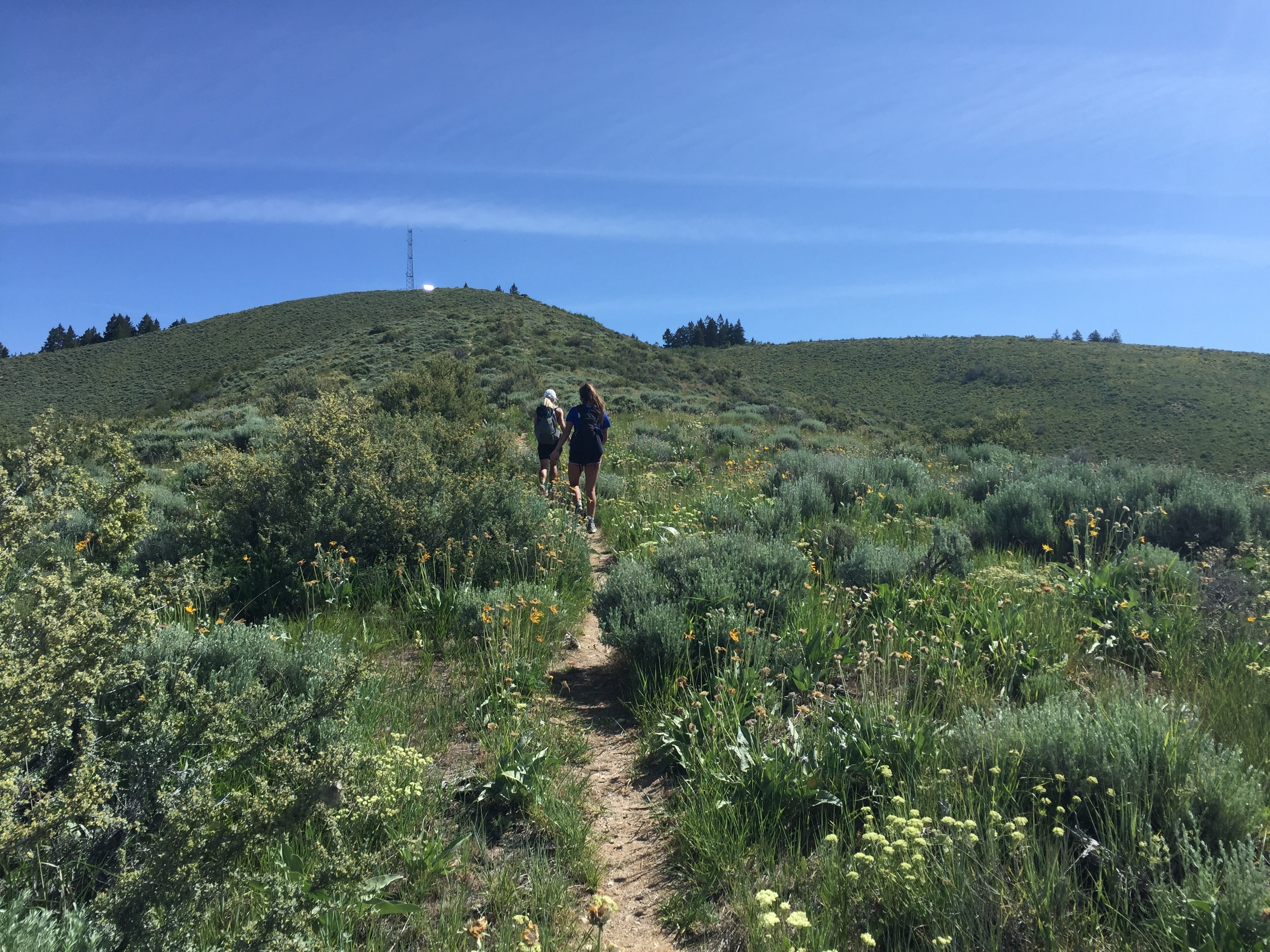
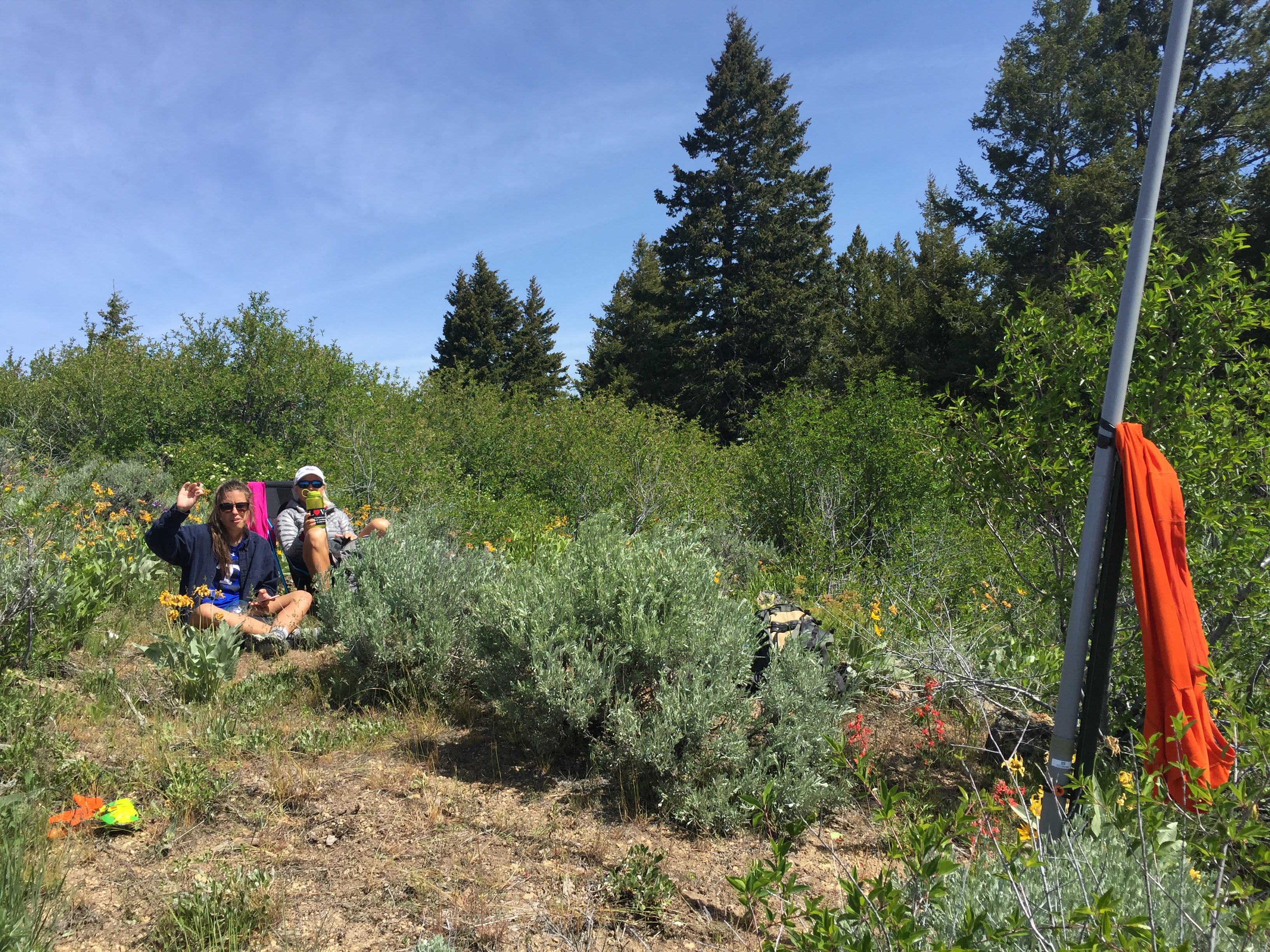
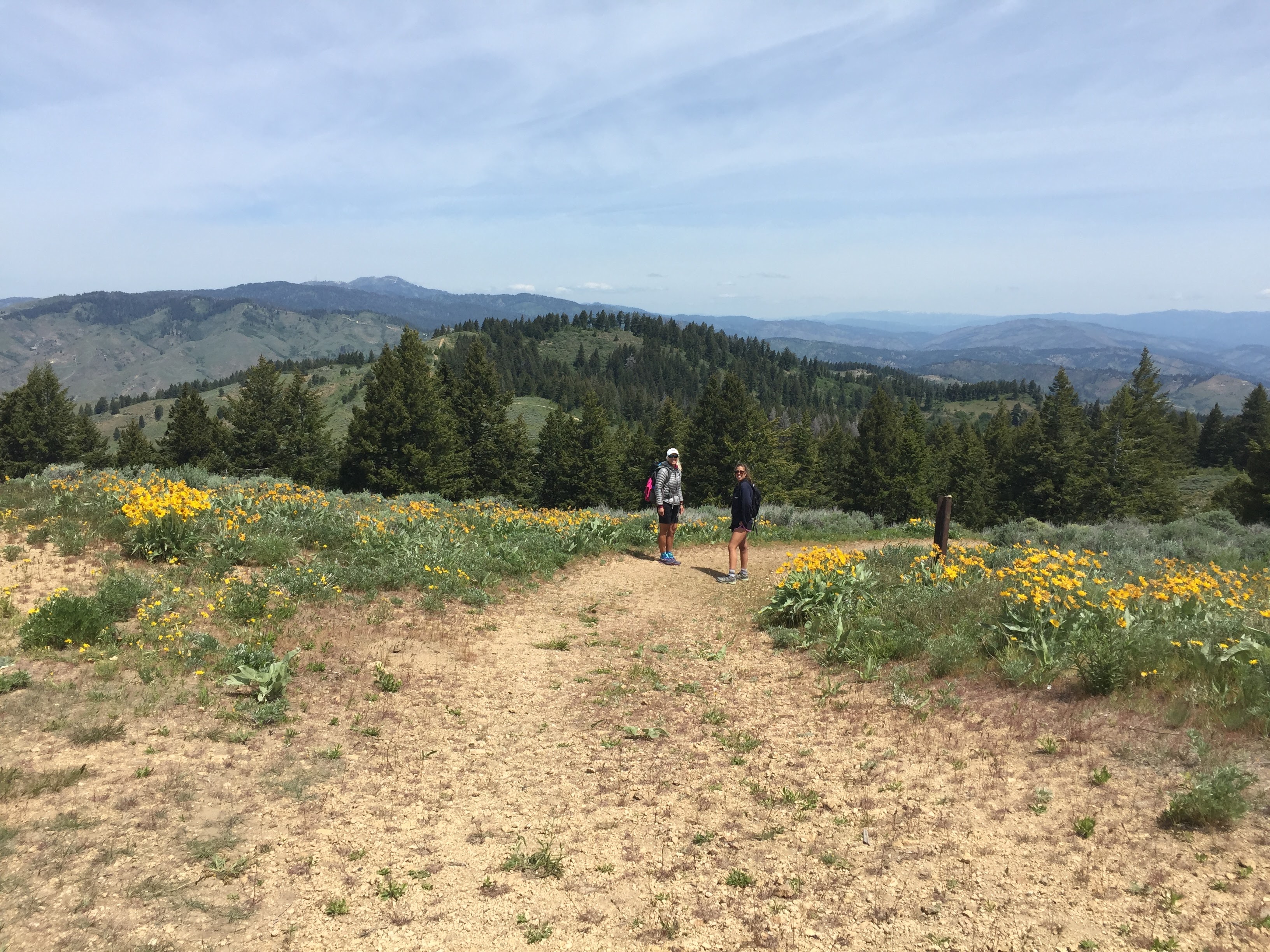
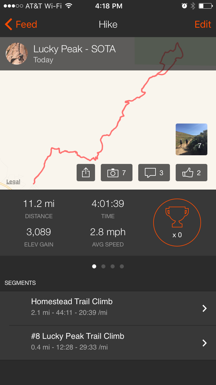
This was my second activation of Lucky Peak. Always a good hike to test your fitness level. There are a few options to get to the top. The route we took was 11.2 miles and 3089 feet of climbing. See my previous report for more information. Lucky Peak 2015: http:/www.pnwsota.org/node/556 . You can also drive to nearly the top if you want a shorter hike. The road up (from Hwy 21) is best with a SUV or high clearance vehicle. There is a small parking lot and bathroom at the end of the road.
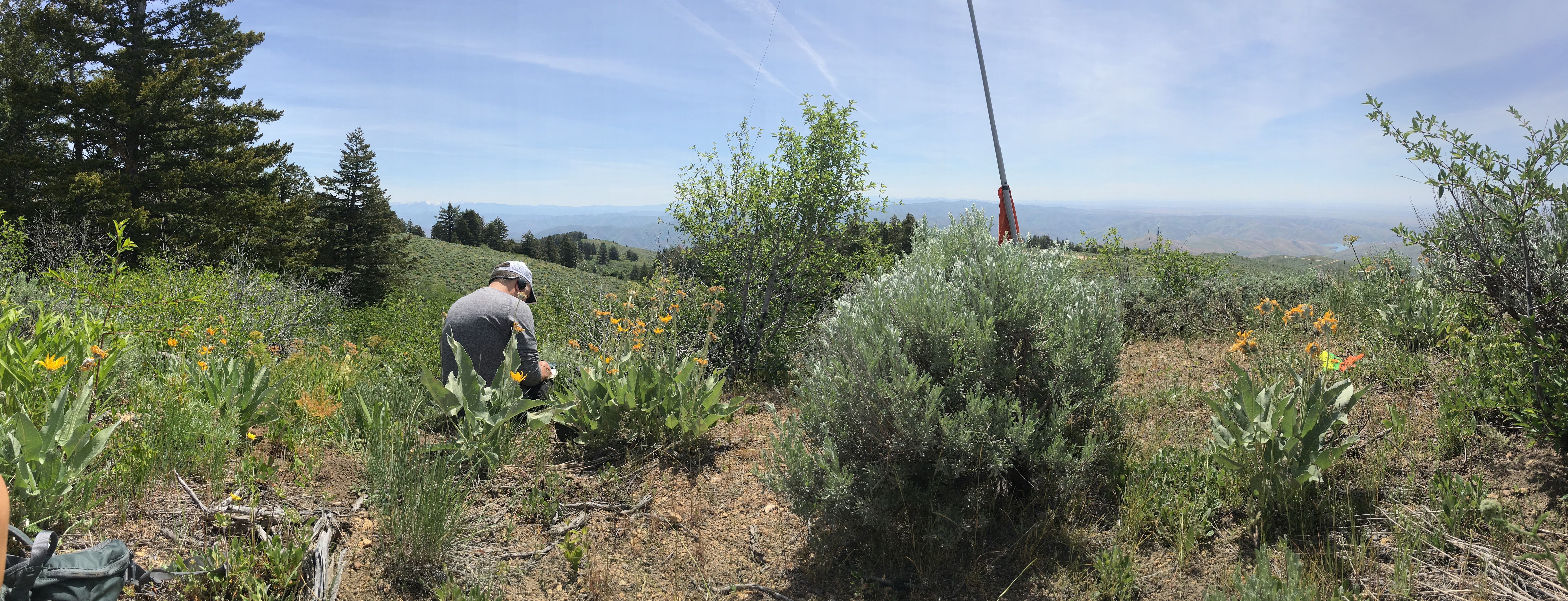
This activation was my first foray into CW in quite a while. I have been practicing with various CW software training programs. As I found out on the summit, I should have spent some actual time doing sending practice. I made it through okay, but it was a bit rough. Appreciate the callers sticking with my rough fist! Looking forward to more CW operations in the future.
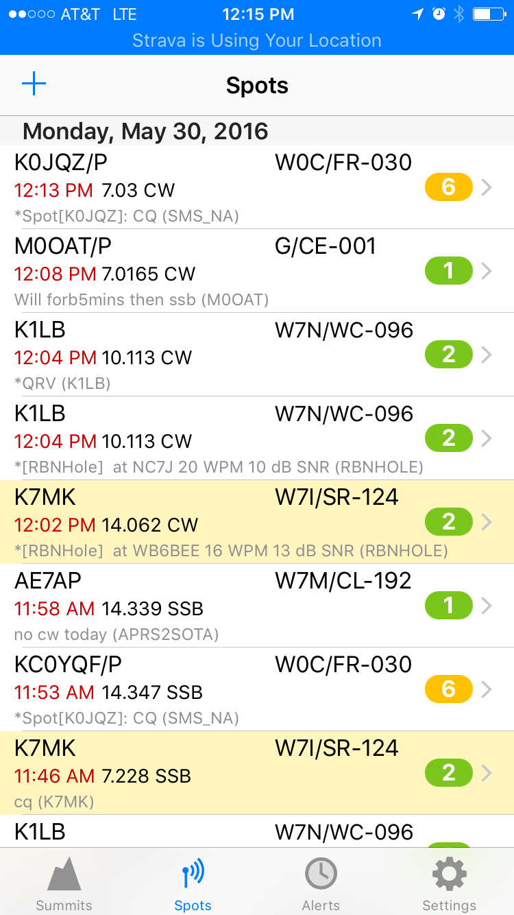
Cell coverage at the summit (especially if you are on the Boise side) is good. APRS should be good as you have a clear shot out to the Owyhees for CNABAR or down into Boise for a digipeater/iGate.
Strava report here: https://www.strava.com/activities/593372319
More pictures here: https://goo.gl/photos/mrswiRuEvQz6wBkT8
73, Jim/K7MK