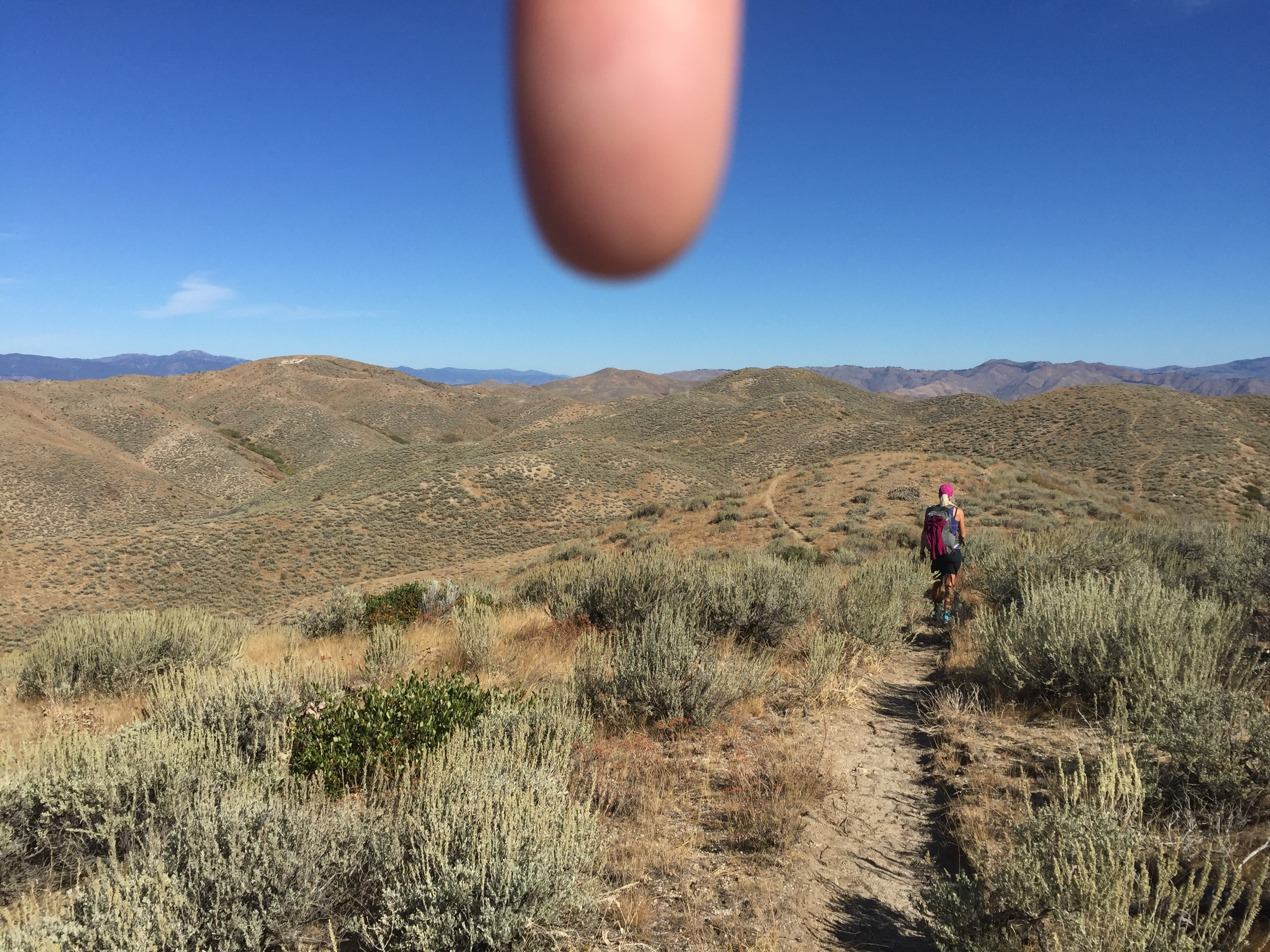
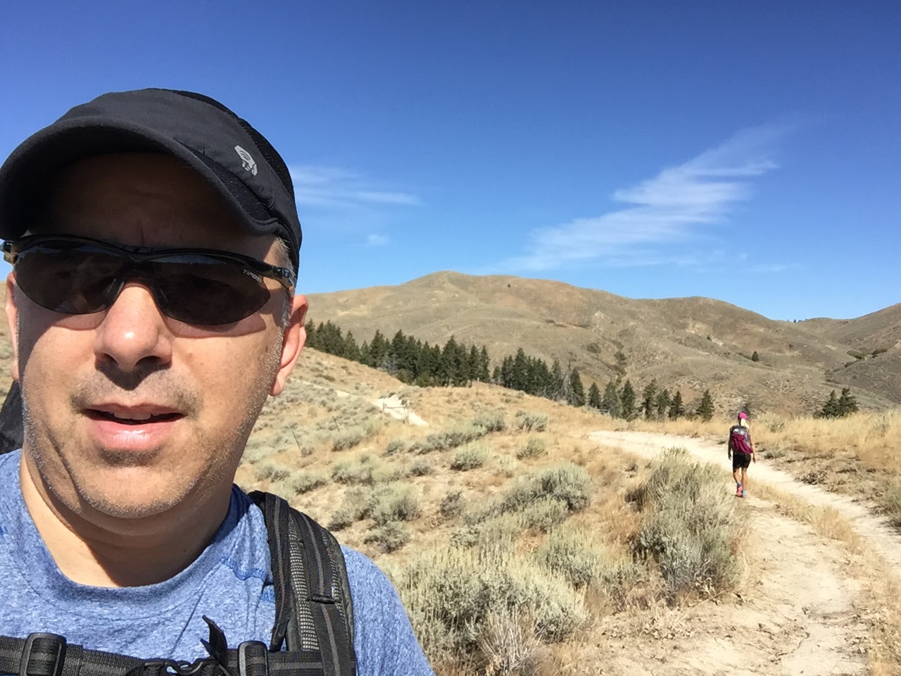
This was my second activation of Kepros. This is a long hike where you just need to keep going... When it seems like you should be at the summit, it is still way off in the distance. When you finally get to the base of the actual mountain, you have gone 4 miles, gained a bunch of elevation, but had just descended to almost the elevation of the car! The final push to the summit is steep, but you are on a double track. A set of hiking poles may expedite the steeper sections.
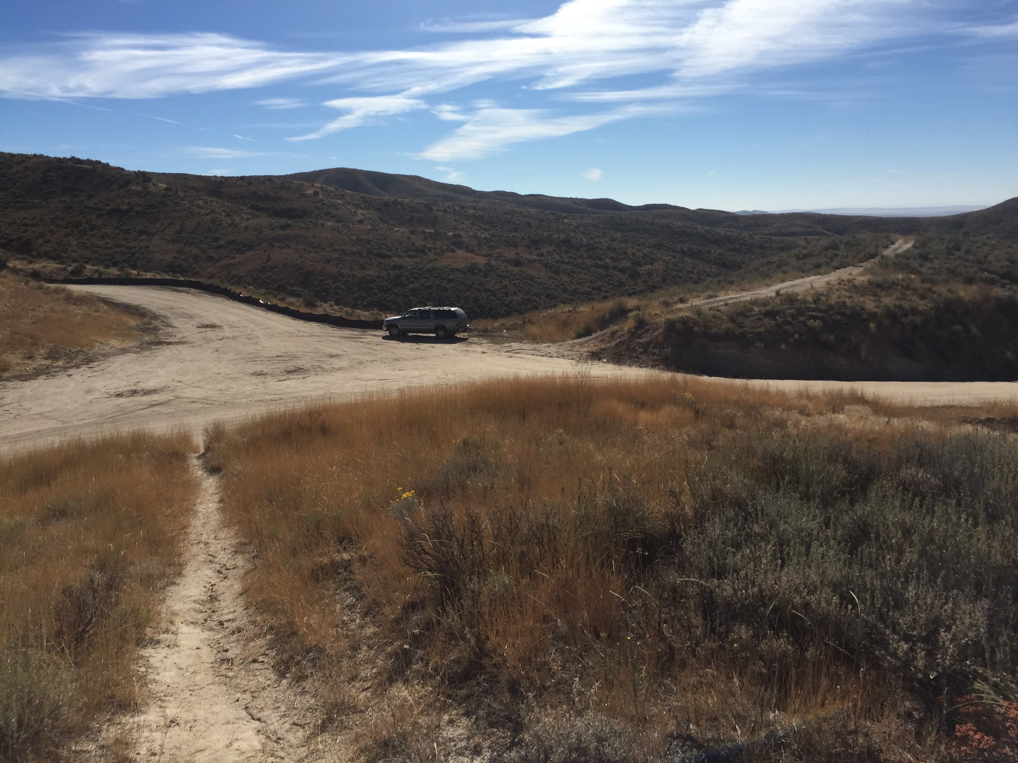
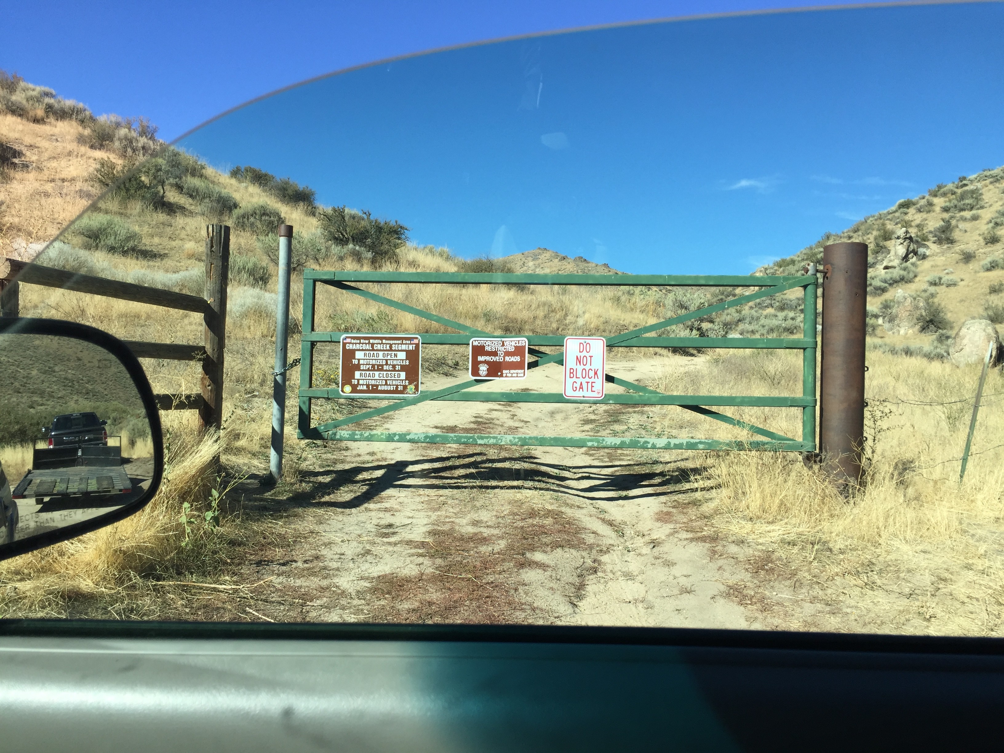
The hiking route, starts on a trail, but eventually intersects a double track road to the summit. This road is open September through December. Would make for a quick trip out to the mountain on a dirt bike, 4-wheeler or RZR. A capable jeep could also make it.
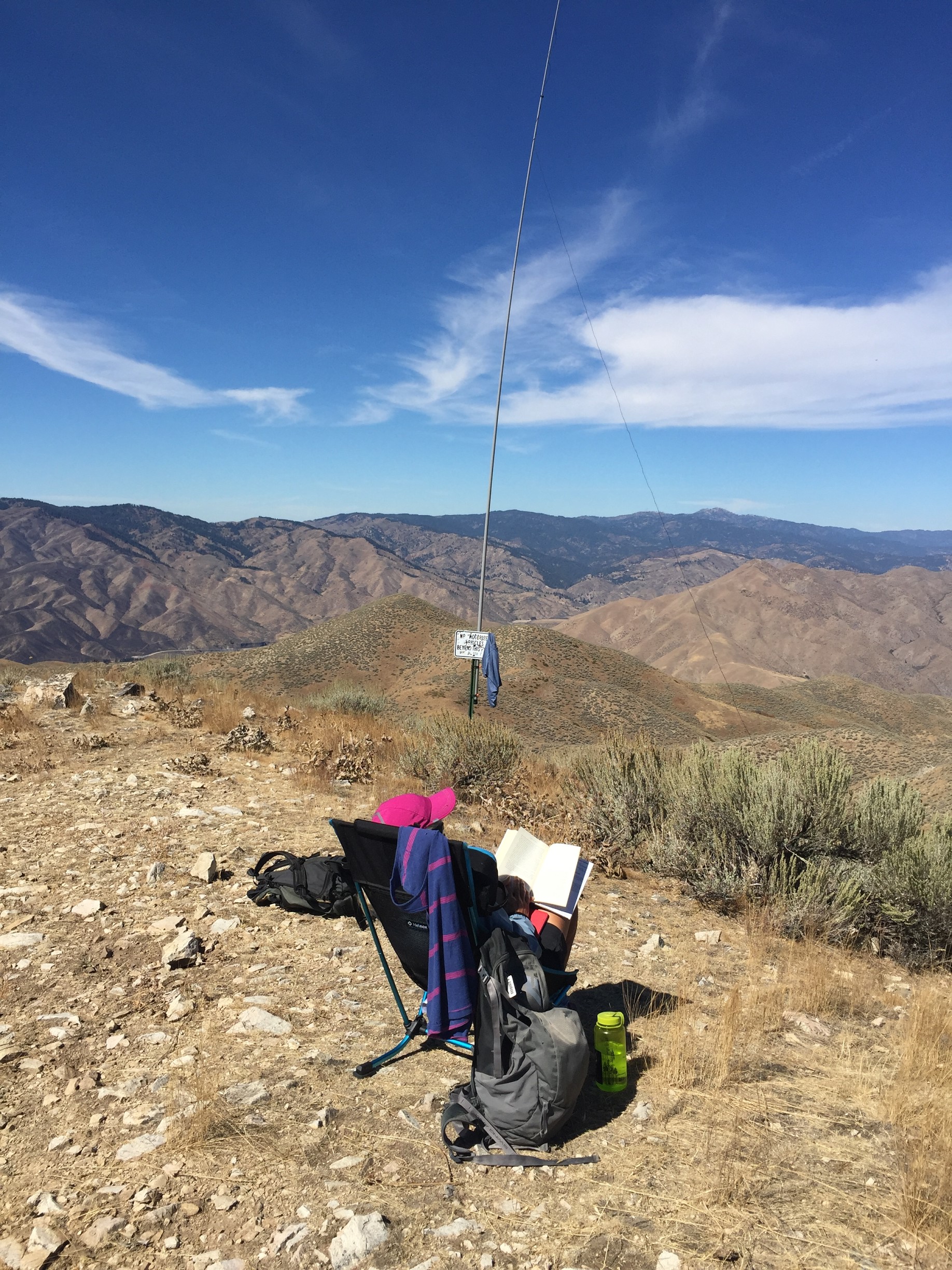
9.6 miles and 1812ft of climbing. There is a signpost at the top which makes it easy to strap a pole to. Cell service is good on the Boise side of the peak (AT&T and Verizon). APRS should be good as well as you have a good view across the valley to the digipeater.
Pictures below. The last picture shows the dates for the road access. This access is farther west on Blacks Creek Rd. than where the hiking trail starts.
Strava report here showing GPS track: https://www.strava.com/activities/725140474