This peak is about 12 miles NW of McCall Idaho. There is no trail to the summit, but it is an easy bushwhack. To get to the "trailhead" take Hwy 55 north out of McCall and take the Brundage Ski area turn off a few miles north of town. Follow this road to the Brundage Ski area, but instead of turning into the ski area parking lot remain on Goose Lake Rd.
Goose Lake Rd turns to dirt shortly after Brundage. This road is a very good road and passable by passenger cars. Continue on the road until just before Goose Lake, turn left and follow the signs towards Grouse Campground. Stay on the road instead of turning into the campground and continue until your GPS says you are at the closest point to the peak. There are a couple of good pullouts to choose from. If you go to far past the peak the road becomes much rougher with larger basalt chunks. Up until this point, the road is fine for passenger cars, but better for SUV or Pickup.
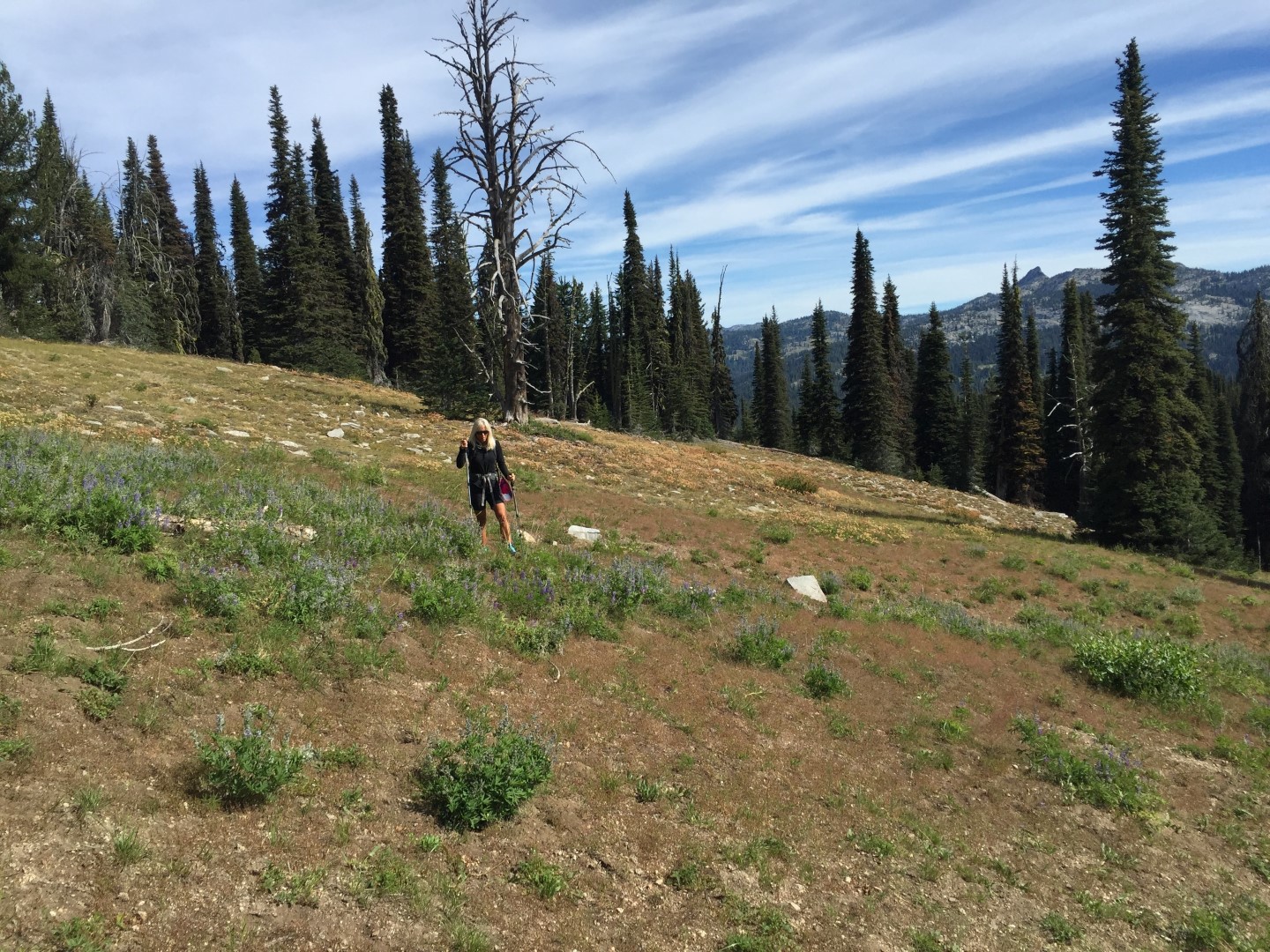
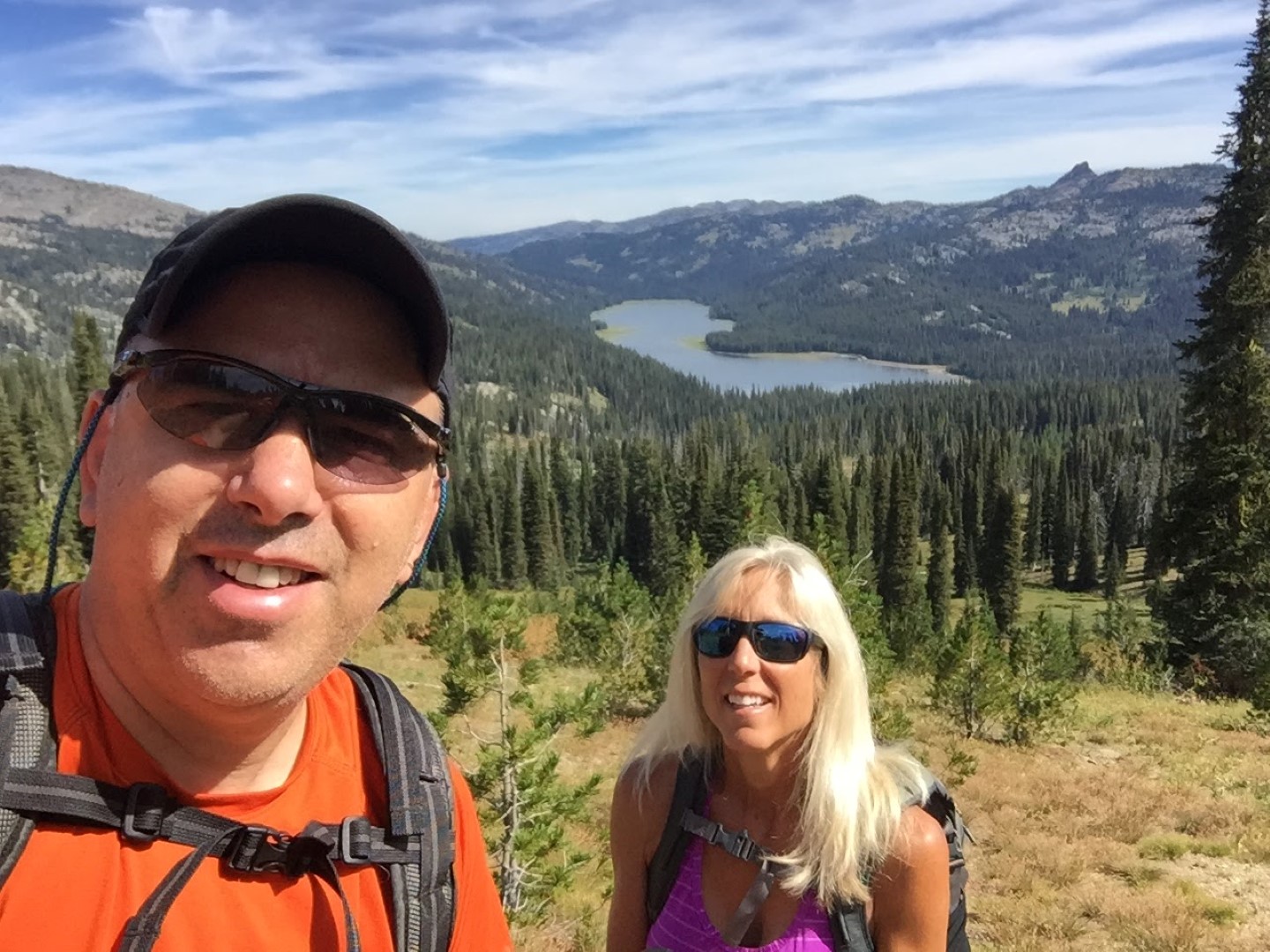
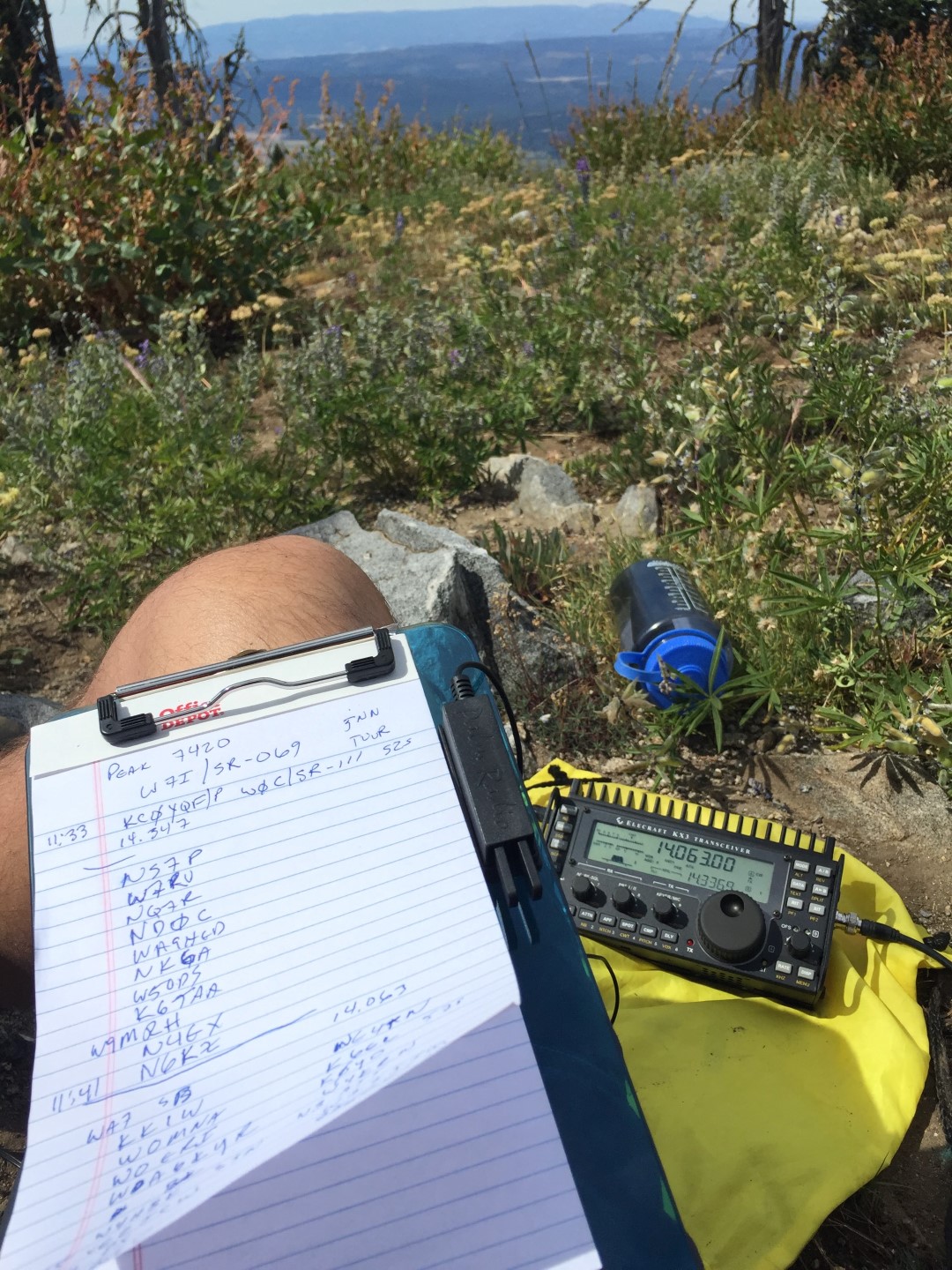
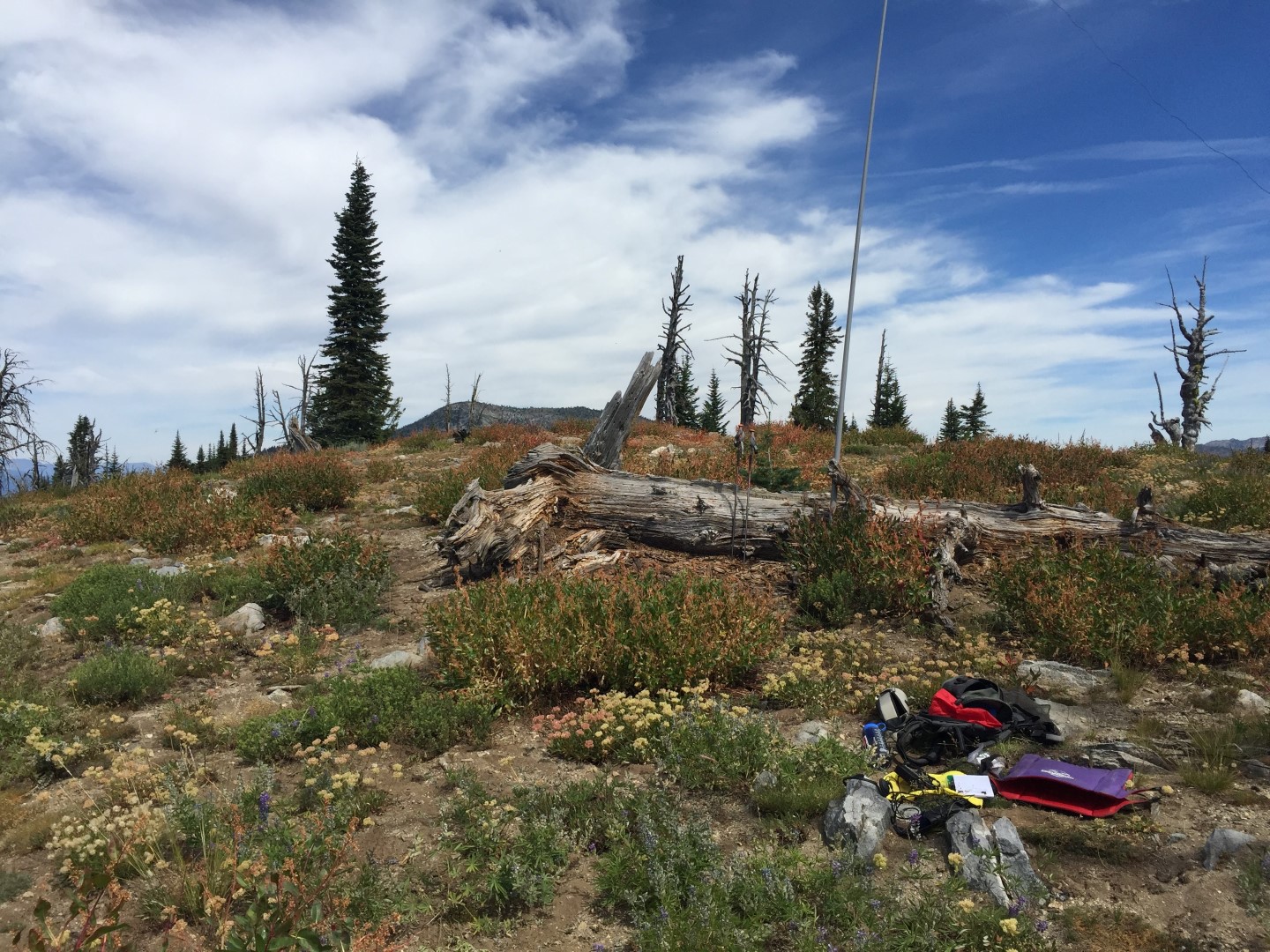
This peak looked easy enough on Google Earth, but I was expecting the worst. With no trail I assumed we would end up in a constant bushwhack fighting for the summit. In the end, the road to get close to the mountain was in good shape and the trail-less slopes turned out to be pleasant. Mostly hiking up grassy slopes with only an occasional need to hop over a downed log. A pleasant surprise! My wife and I were almost saddened when we reached the summit as it turned out to be a nice hike. We wanted more, but were satisfied with a nice summit to set up radio gear and views in all directions.
This pleasant bushwhack it 1.4 miles round trip and 582 feet of climbing. Good cell and APRS coverage on the hike and at the summit.
Strava report with GPS track: https://www.strava.com/activities/675203442
GPS Hike Track: https://drive.google.com/open?id=0B4QAwgHA56oiYXVPSU9qX0ZwRTQ
Google Map to trailhead: https://goo.gl/maps/KXuGjAbSinr