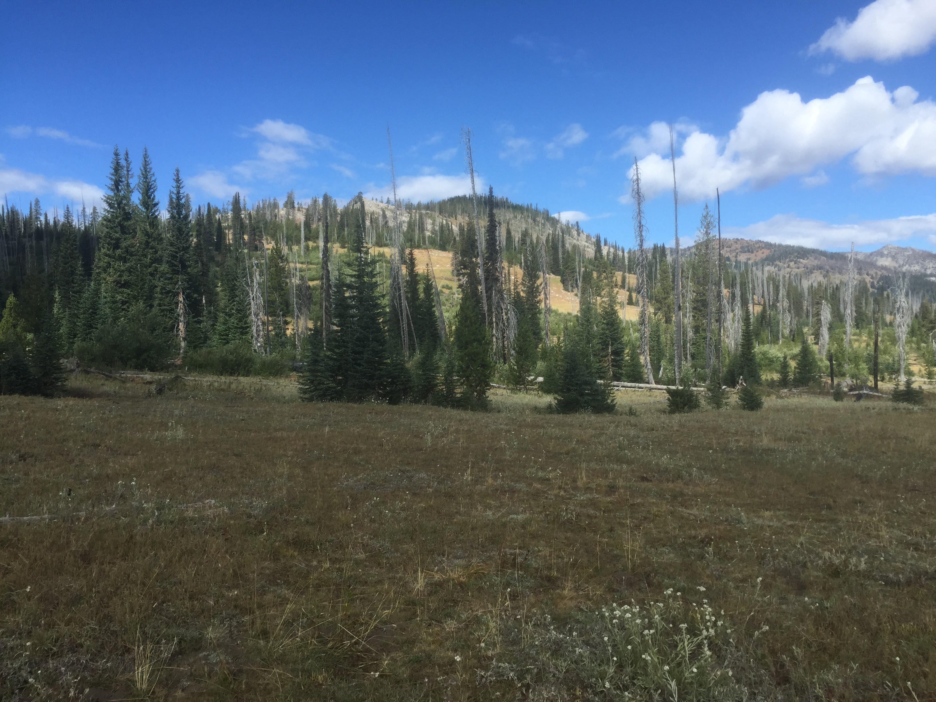
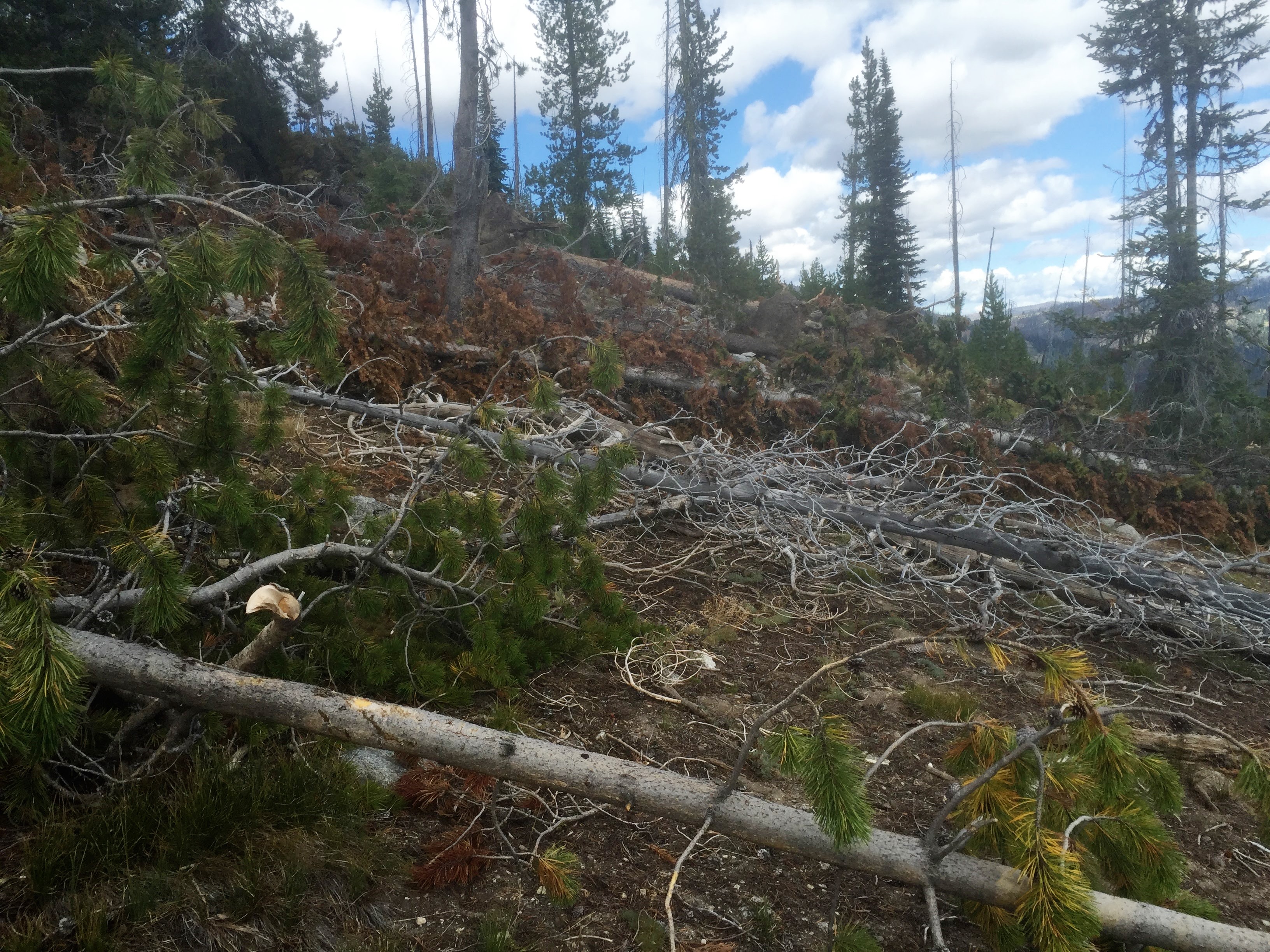
Peak 7384 is the next SOTA Peak to the north of Granite Mountain W7I/SR-138. It is bushwhacking at its finest with endless deadfall on the main portion of the mountain. Limited views from the summit make this peak not the most enjoyable, but it is SOTA nonetheless and that is always good!
To get to the "trailhead" take Hwy 55 north out of McCall and take the Brundage Ski area turn off a few miles north of town. Follow this road to the Brundage Ski area, but instead of turning into the ski area parking lot remain on Goose Lake Rd. Goose Lake Rd turns to dirt shortly after Brundage. This road is a very good road and passable by passenger cars. Continue past the upper end of Goose Lake and continue towards Hazard Lake. You will come to a cattle guard where you will be within a mile or so from the peak. Park on the north side of the fence/cattle guard. A cow trail will lead you to the north on the east side of the summit. Take this for a while, then start heading west to remain as high as possible. Use a GPS to guide your way to the summit. Pick your way through the deadfall and lines of thick brush. I don't think there is 1 good easy way.
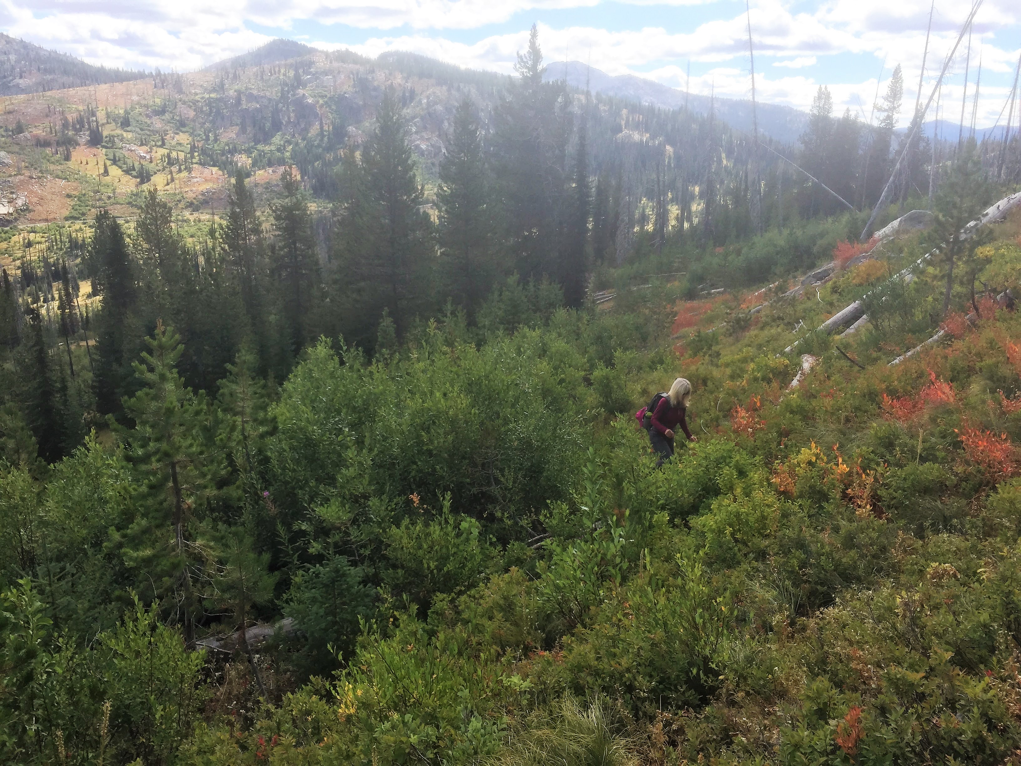
This little peak, although trail-less, appeared to be an easy activation. Google Earth showed a road leading to its base and then a fairly short hike. However, driving to where this "road" was suppose to be, we were greeted by a cow trail. Only the cows were happy about this fact. So we parked and setoff along this cow trail trying not to annoy the mom cows with their babies. Eventually we left the safety of the cow trail and were presented by endless bushwhacking, deadfall. This led to just general bleeding and cursing. During the winter of 2015-2016, this area was hit was heavy snowfall. This toppled a lot of the remaining trees which had burned in a previous wildfire. Thick brush, endless downed logs and a summit with no views made this one of the least favorable summits! If the forest service does some clearing out of the downed timber it may see another activation, but we won't be rushing back!
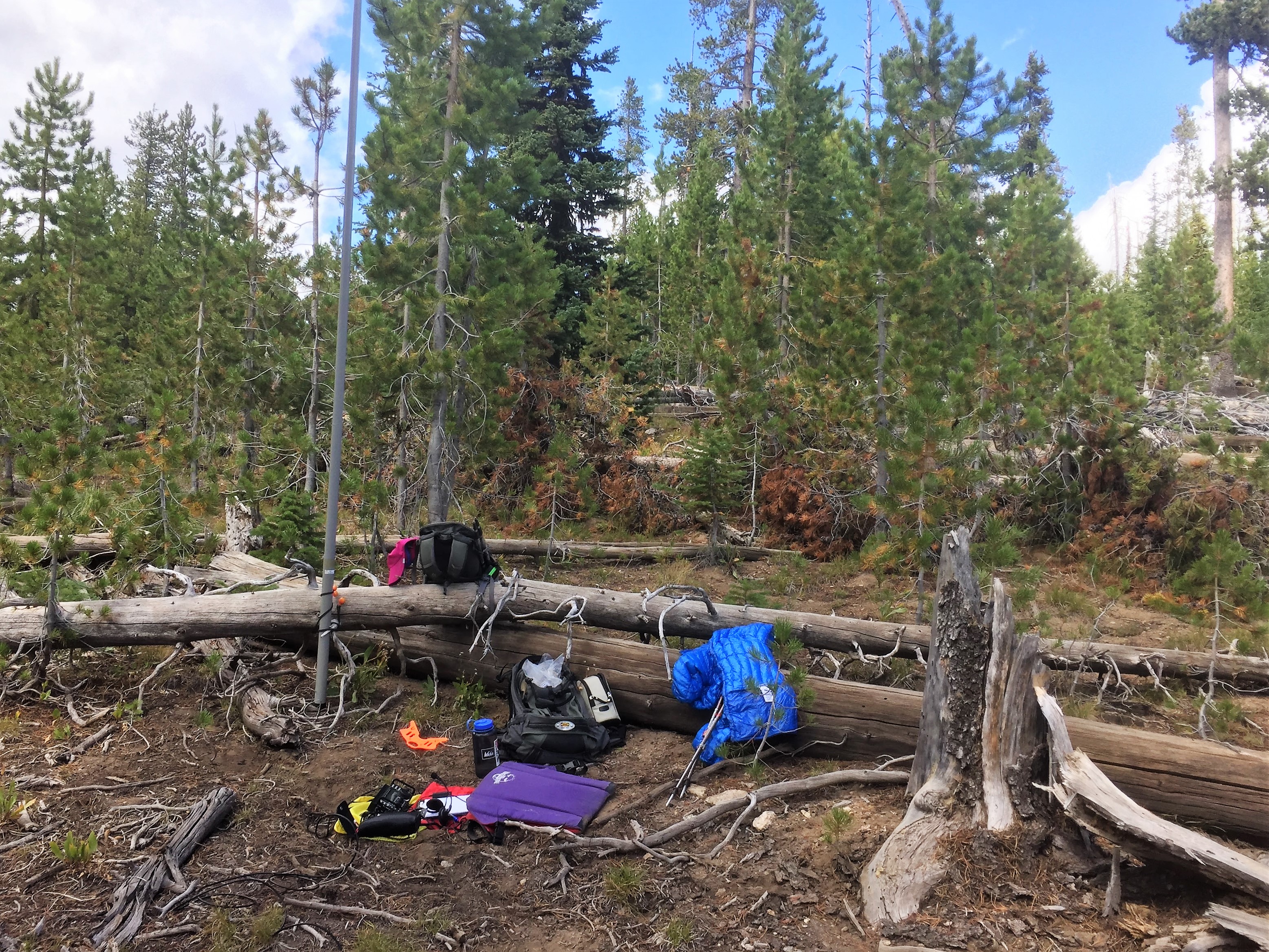
This "small" peak turned out to be quite the effort. 3.4 miles round trip, 987 feet of climbing and a lot of physical/emotional scarring! Decent cell coverage and APRS on the hike and summit.
Strava report and GPS track: https://www.strava.com/activities/699462518
GPS Hike track: https://drive.google.com/open?id=0B4QAwgHA56oiOVctV3RxbktQMDQ
Google map to trailhead: https://goo.gl/maps/1gGESsgPL7z