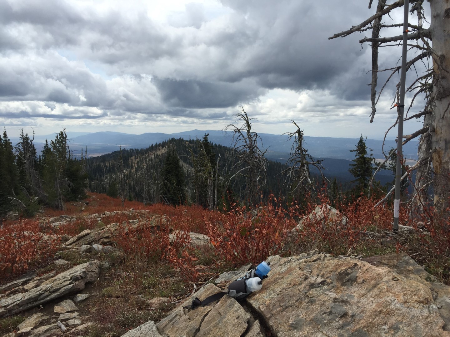
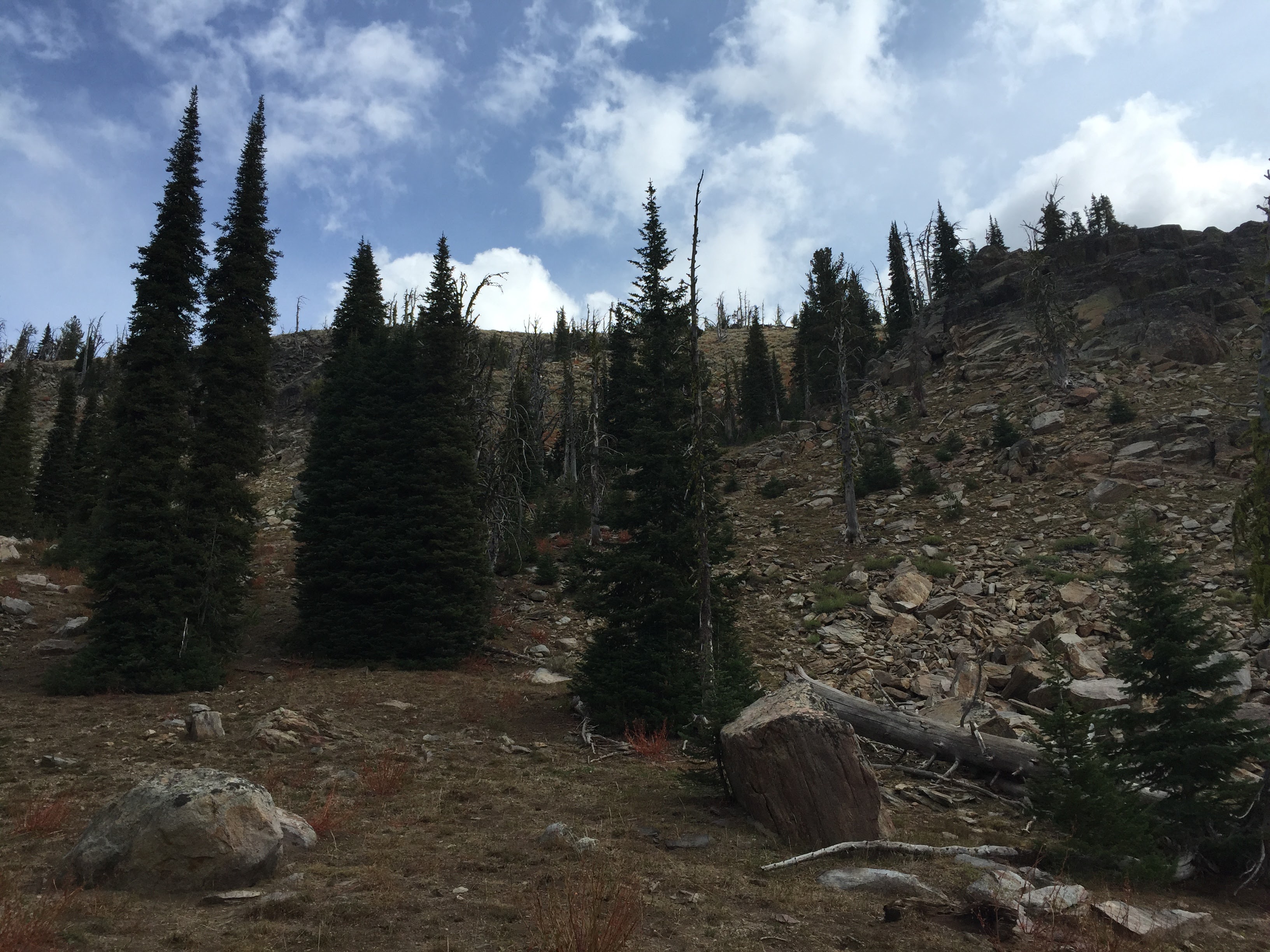
Brundage Mountain SOTA brings the thought of riding a chair lift at the ski resort to the summit. In actuality, the true summit is a mile north of the ski resort are requires a bushwhack for most of the 4 mile round trip. The views from the summit mostly make up for bushwhack and somewhat dangerous final ascent to the summit.
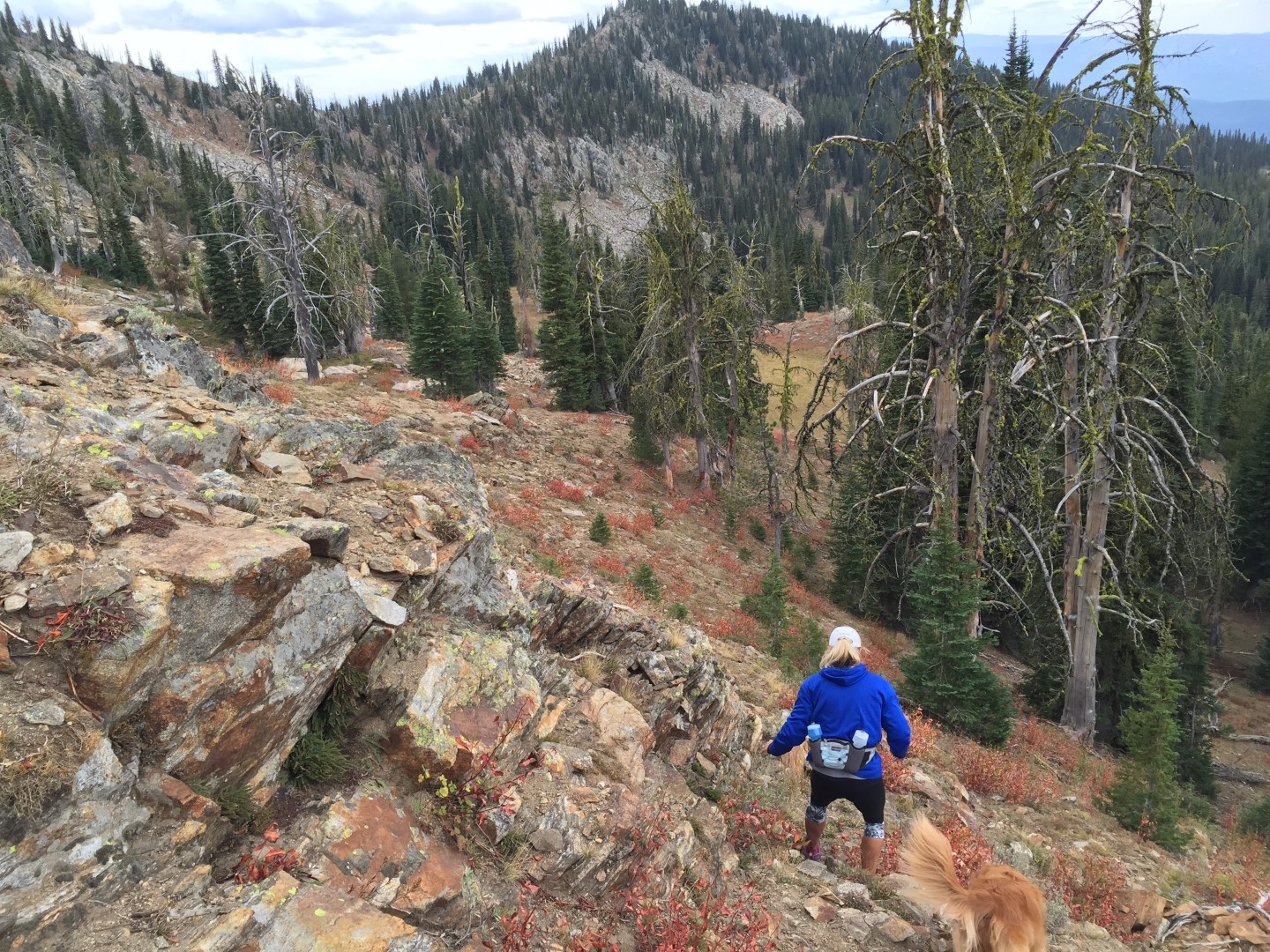
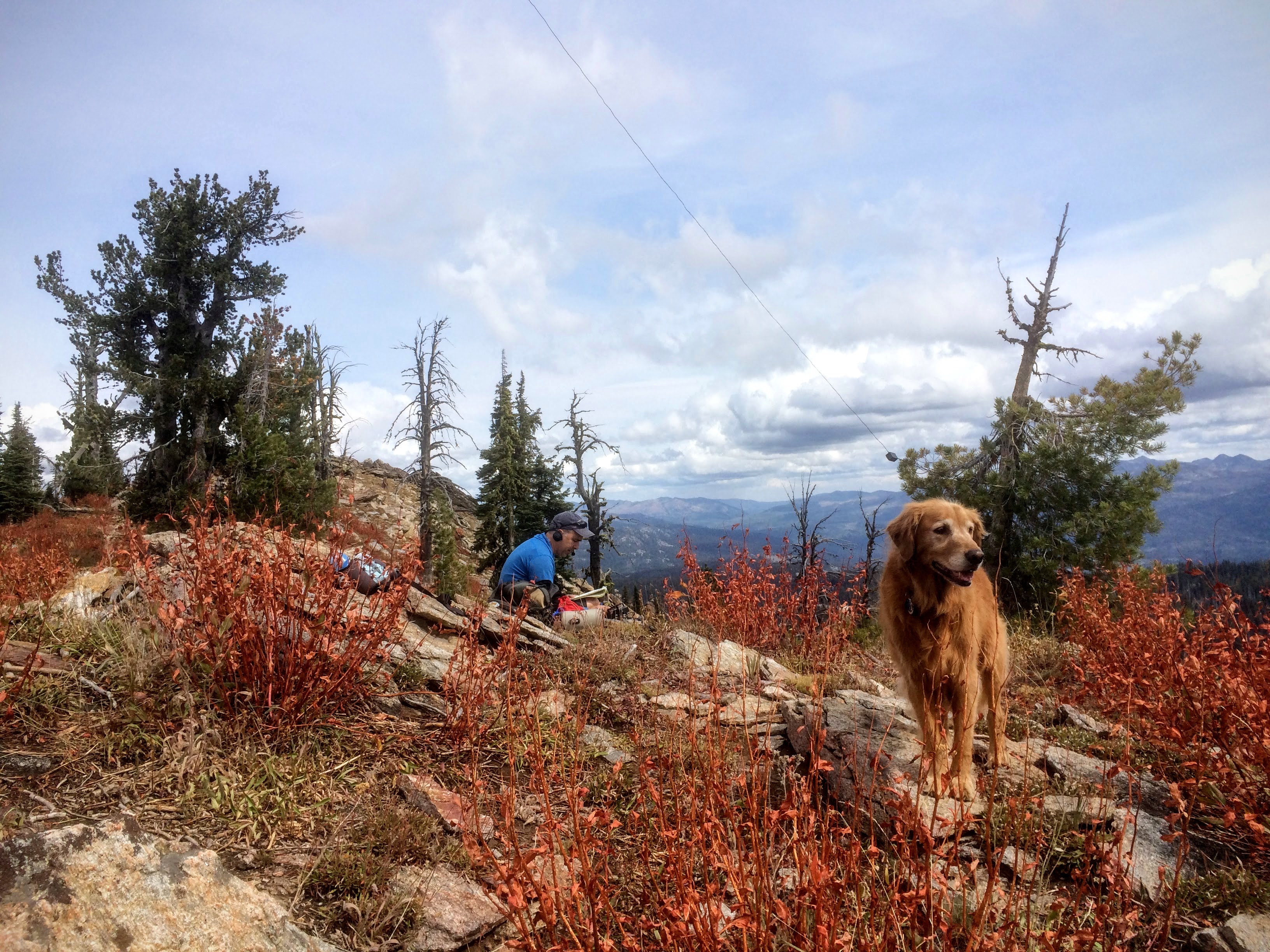
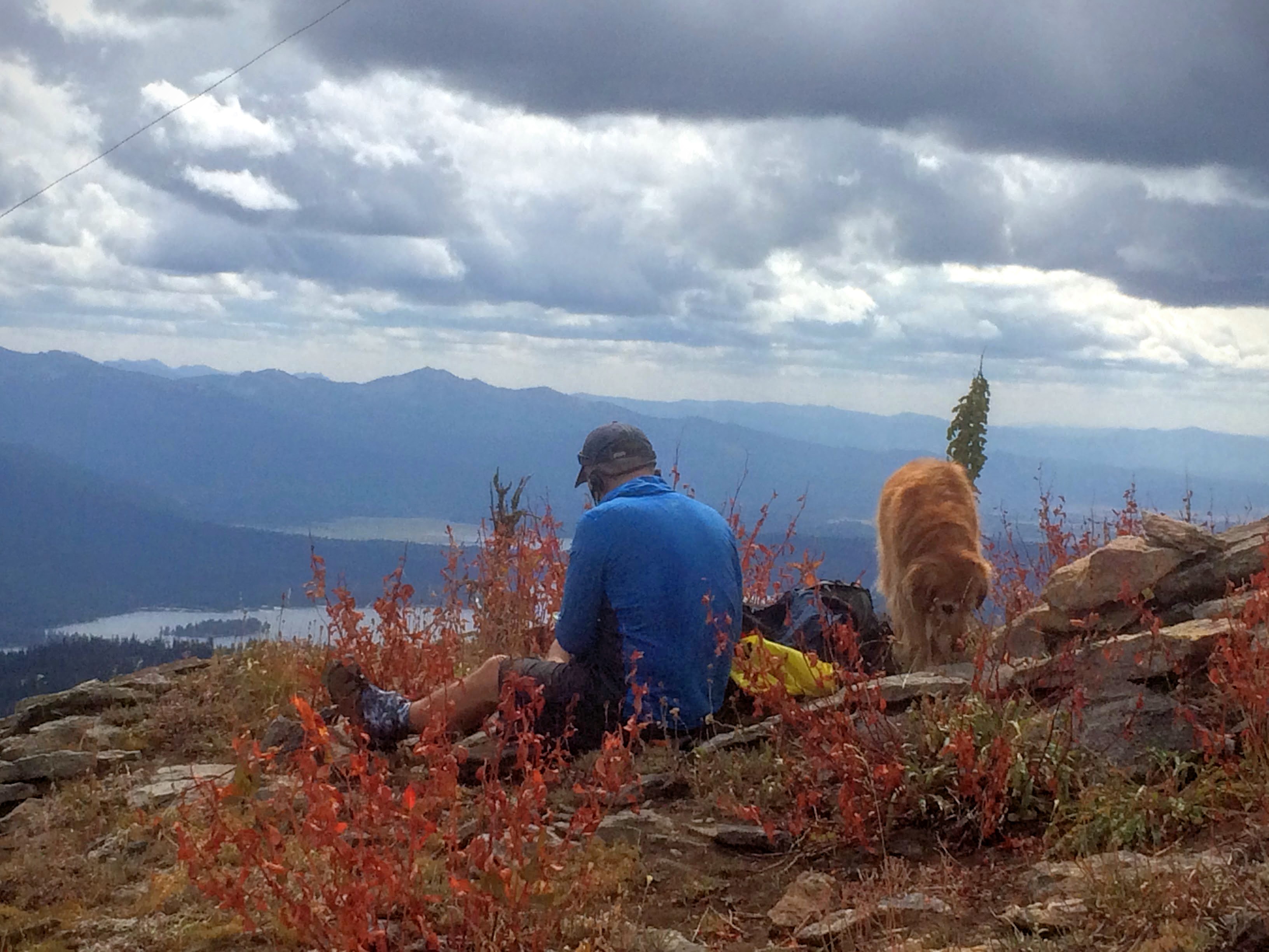
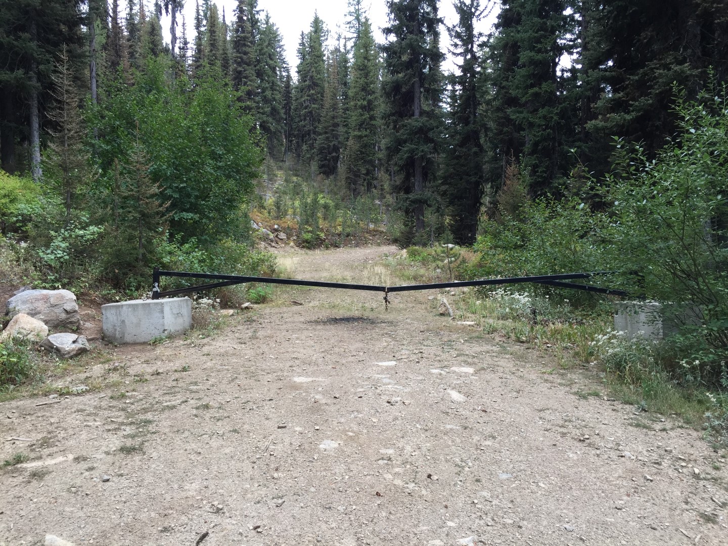
The start of the hike is about a mile past the enterence to the ski resort. There will be a road on the right that is gated after 100 yards. There is space for a car or two to park. Hike up the road for a while until you see an open glade on the right. Follow this glade up until you have to cross the creek to the left. Best to follow GPS heading to the summit and take the path of least resistance. You can run into impassable brush so choose path wisely. Once you cross the mountain bike trail the route steepens. The final pitch before the summit, goes up a boulder field and then turns into a steep hillside. Hiking poles are recommended. The summit is broad and long. Plenty of space and trees for antenna setup. Views down to McCall and Payette Lake are great. You get decent cell coverage from the McCall cell sites once on top. Spotty cell coverage during the climb.
Hover over pictures below for description.