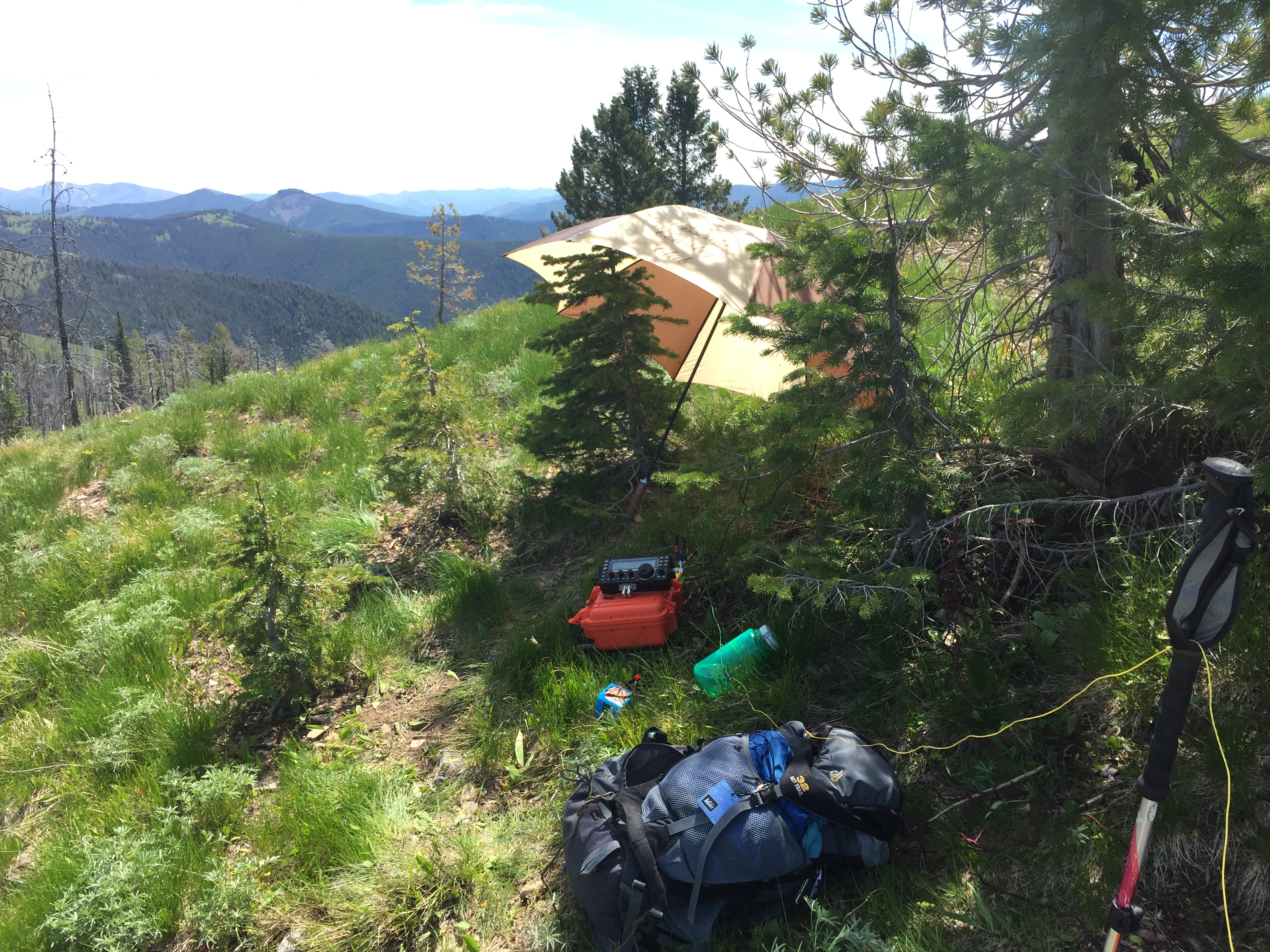
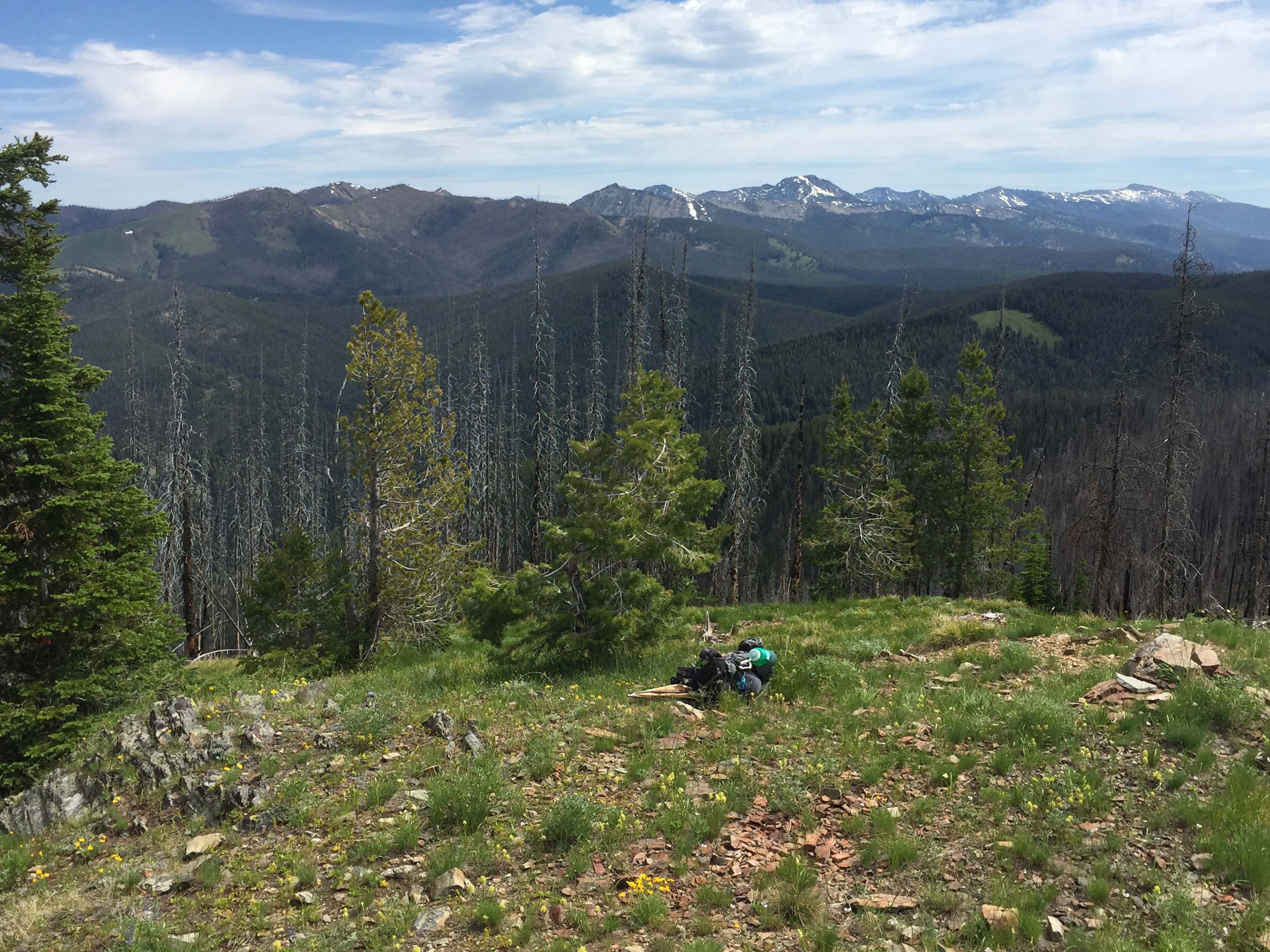
Nez Perce Peak is on the historic Nez Perce route to the eastern bison hunting grounds. It was also used by prospectors and traders. It is accessed by a steep-unmarked trail approximately 3 miles beginning on the Magruder Corridor road along Deep Creek. The open grassland summit has excellent views of the Selway Bitterroot Wilderness and Frank Church River of No Return Wilderness. There are trees for wire antennas or lots of open space for other antennas. Only a few wires, outhouse trail and stacked rock remain of the old US Forest Service Lookout.
Trail Miles: 3 one way
Elevation Gain: 2600’
Water: None after leaving Deep Creek
Map: Bitterroot National Forest, South Map
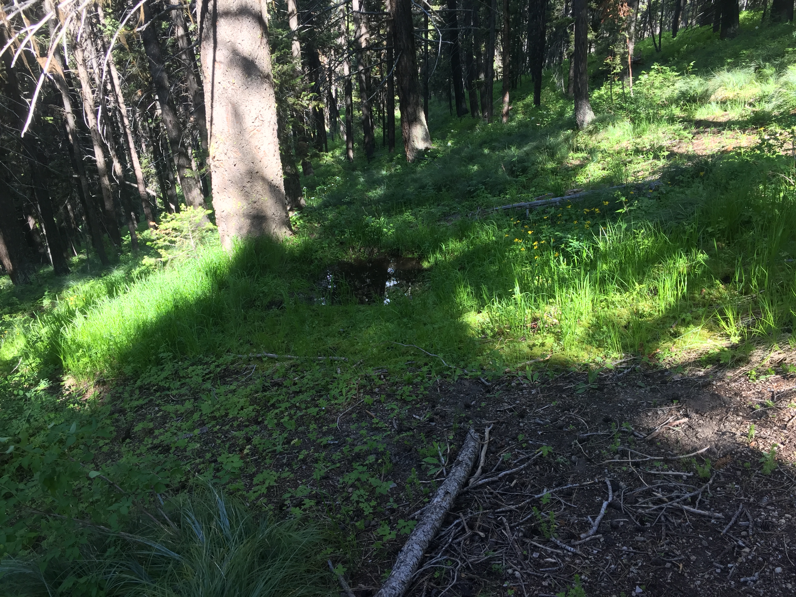
Once leaving the creek bottom there is no water along the route except for one muddy elk wallow at approximately 2 miles up the trail. The trail is easy to follow although a recent forest fire is now covered by a dense ceanothus brush field approximately 0.5 miles up the trail trench. If you lose the trail, stay on the ridge an aim for the larger ponderosa pine up the ridge. There you will regain the trail. It is very visible beyond here to the summit.
Directions: South of Darby, MT leave highway #93 and travel up the West Fork Bitterroot Road for approximately 14 miles. Turn right, west onto the Nez Perce Fork road. Continue up that road for approximately 16 miles to Nez Perce Pass. Continue over this paved pass traveling down the Magruder Corridor Deep Creek approximately 8 miles. Here the pavement ends. There is a commercial hunting camp to the south, but continue about 900 feet. The trail leaves the road here. It maybe difficult to pick out where the trail leaves the road due to wet soil vegetation, but is much easier on the see on the slope above. It is shown on some maps and easily seen on Google Earth. The trail is also approximately 1650’ east of the Cayuse Creek Bridge. Just west of Cayuse Bridge is a dispersed campground, vault toilet and Cayuse Mountain Trail #36, a well signed and well used trail.