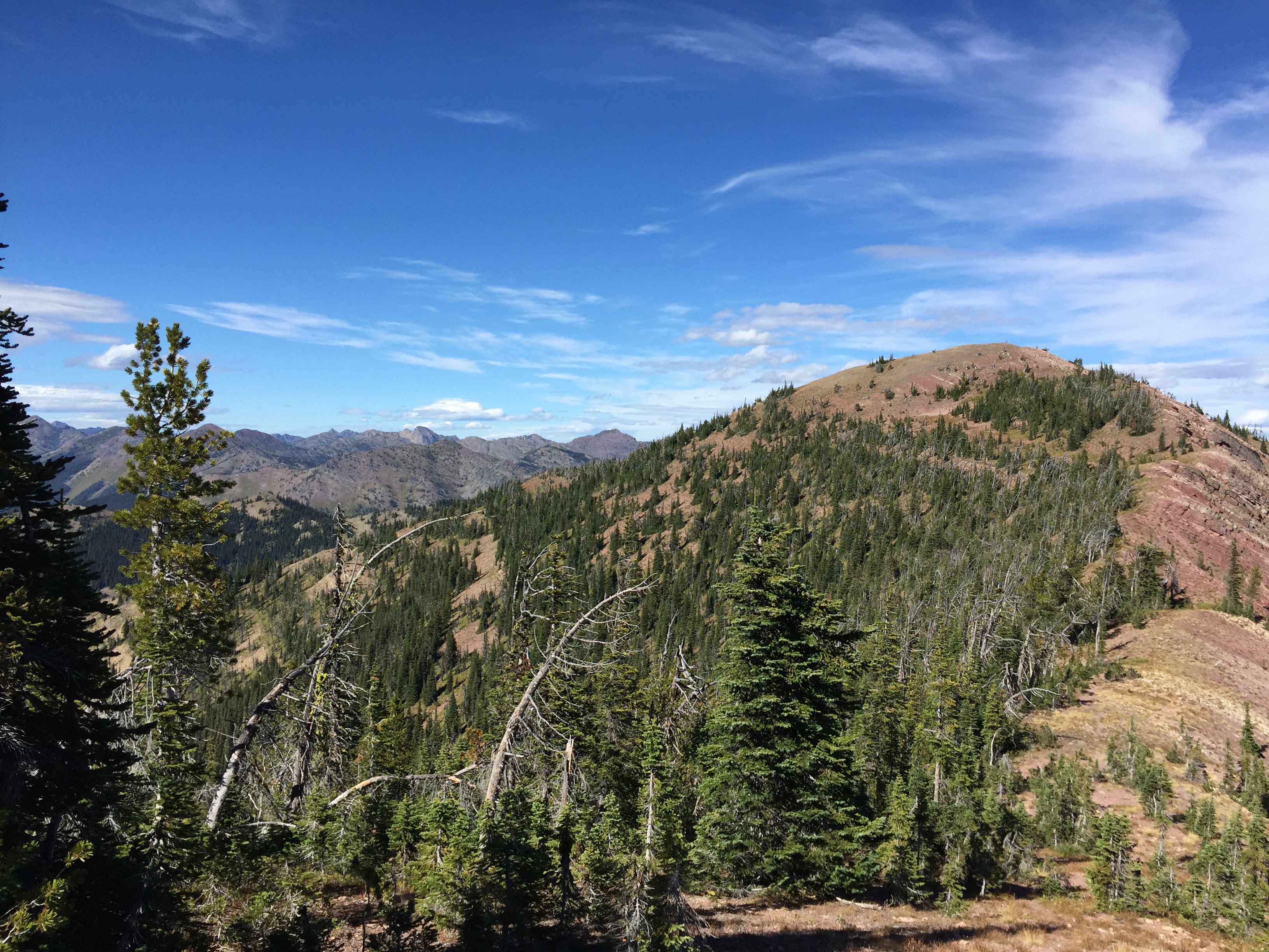
Morrell Mountain at 8161’ is a short ridgeline hike, less than a mile, with excellent views of the Seeley Lake valley and the Mission Mountains, Scapegoat and Bob Marshall Wilderness Areas. The trailhead is in the saddle/road switchback just below a closed-gate access to Morrell Lookout which is not the SOTA summit.
Trail miles: nearly 1. Elevation gain: `500’ Map: Lolo National Forest, Seeley Lake Ranger District
Directions: From Seeley Lake Montana take the Cottonwood Lakes road on the North end of town. Follow this road east for approximately 7.5 miles to Cottonwood Lakes. Upon arriving at Cottonwood lakes, look for the Morrell Lookout Road angling off to the left, northeast. Follow this climbing native surface gravel road approximately 8 miles to a saddle/road switchback and road closure gate just short of the Morrell Lookout.
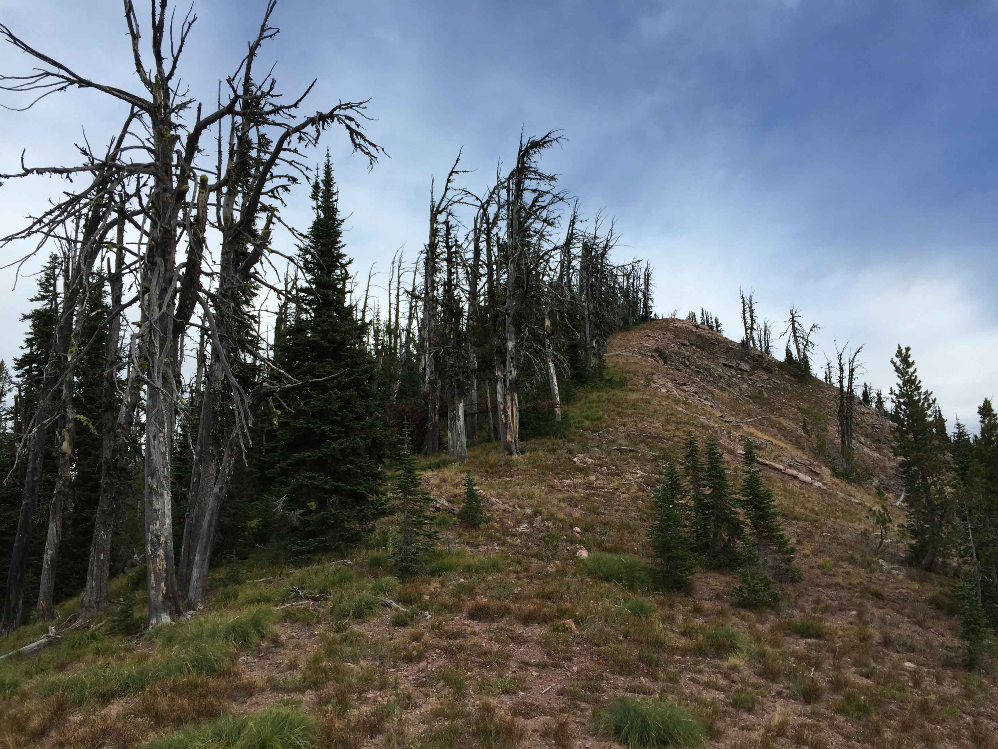
The trailhead to Morrell Mountain is unsigned. The unsigned trail goes north along the ridge and not south along the road to the Lookout. Follow this trail for nearly 1 mile to the summit of Morrell Mountain.
The final summit scramble is not overly steep but is up very loose gravel and krumholtz tree vegetation. Lacking taller trees on the summit, it is a good choice to bring along a pole for wire antennas.
Appetizer: Another 2 miles beyond Morrell Mountain along the northeasterly rolling ridge is the unnamed summit 8004, W7M/GA-084.