Getting to Sabe Mountain is an experience traveling the Magruder Corridor road, a 100-mile narrow road much of which is over 7500’, high for Northcentral Idaho roads. The are no services (gas or other) available along this route and the adjoining roads for 130 miles. According to the US Forest Service brochure, the road, constructed by the Civilian Conservation Corps in 1930s has changed little over the decades. It shows. The narrow road is used heavily by snowmobiles in winter and 4-wheelers in summer.
Sabe mountain is an open easily hiked summit. High alpine views are of the Frank Church River of No Return and the Selway Bitterroot Wilderness areas and Marsh Lake. Good space and a few snags & trees to 20 feet are available for hanging antennas or supporting poles on the summit.
Trail Miles = 0.5 Off trail = 250’ to the summit
Elevation Gain: 600’
Water: None is available along most of the road or this trail
Map: Bitterroot National Forest or Nez Perce National Forest
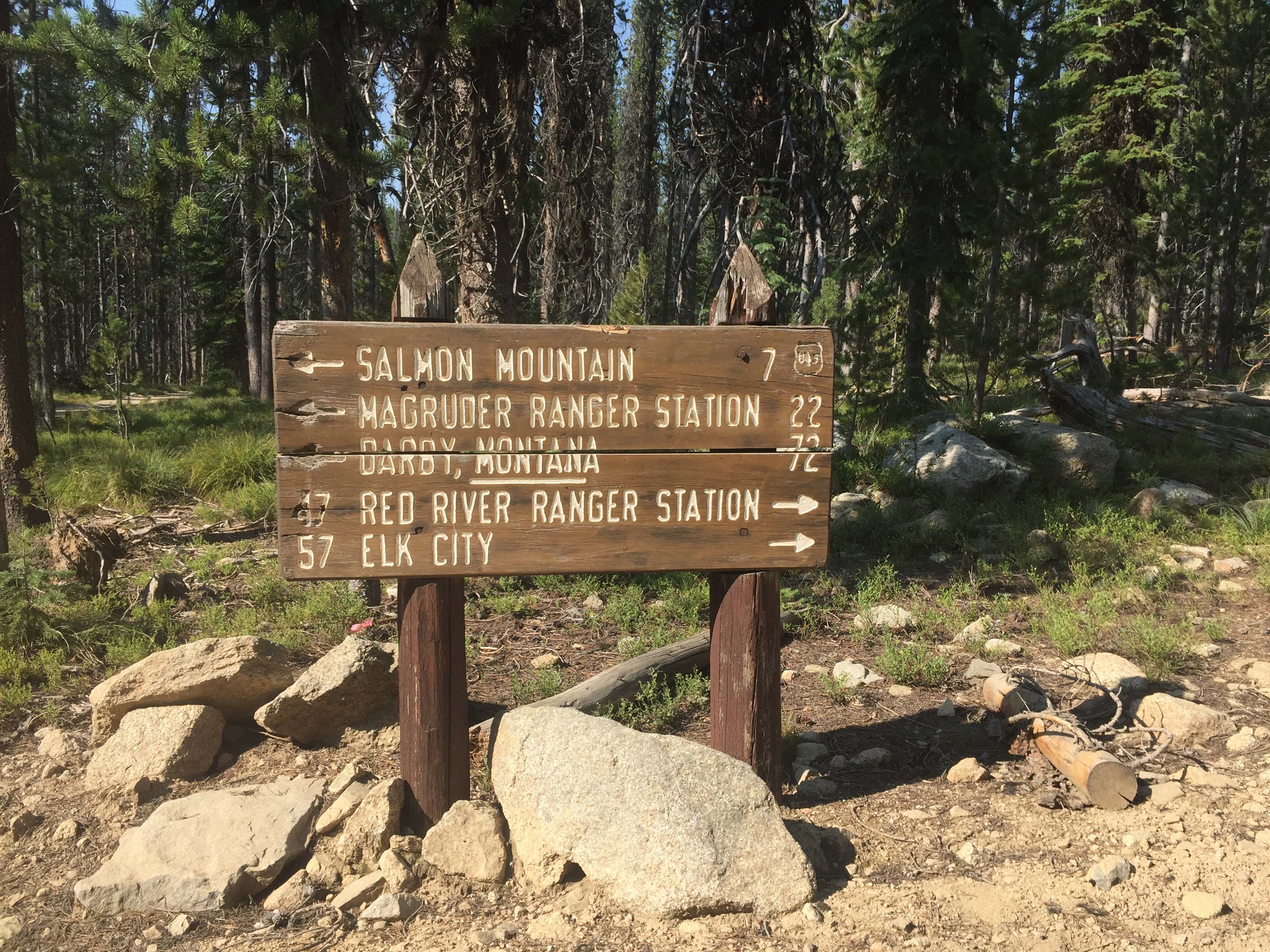
Directions: South of Darby, MT leave highway #93 and travel up the West Fork Bitterroot Road for approximately 14 miles. Turn right, west onto the Nez Perce Fork road. Continue up that road for approximately 16 miles to Nez Perce Pass. Continue over this paved pass traveling down the Magruder Corridor along Deep Creek approximately 16 miles to the Selway River. Here a quarter mile side trip up the Selway River ends at the historic Magruder Ranger Station. But continuing downstream the road follows the narrow canyon of the Selway River at Magruder Crossing. Cross the river and continue up and on the Magruder Corridor Road for approximately 25 miles to near the trailhead. Trail access off the Magruder Corridor Road is not marked, Lat/Long = 45.6559, -114.9423 (GoogleEarth). It is approximately 275’ south of a right angle in the road where there is limited parking. There is no parking space at the trailhead, but only a couple of ‘pullouts’ a few hundred feet on either side of it. The unmarked trailhead is approximately 3 miles west of Horse Heaven, located on the USFS maps.