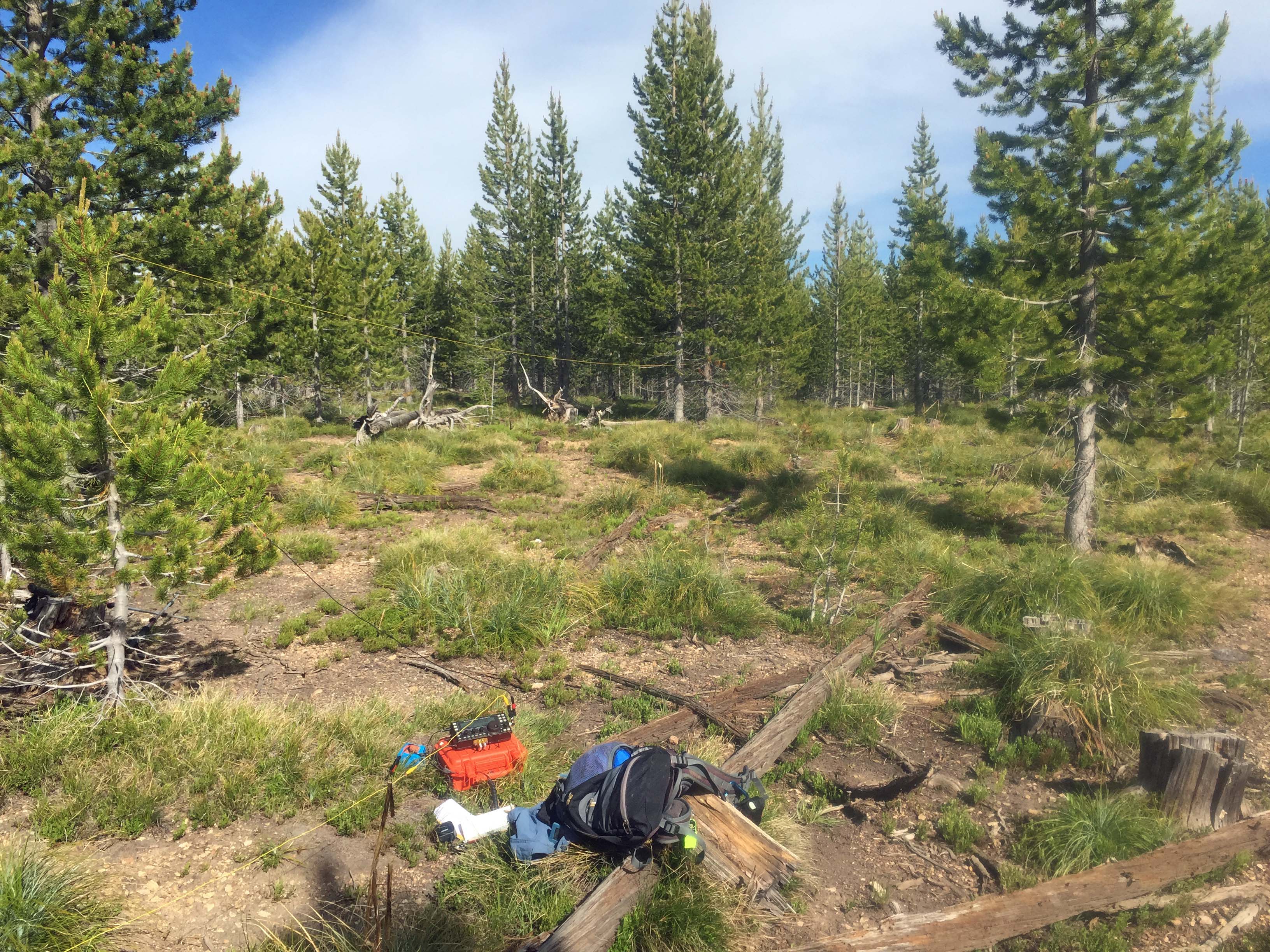
Tincup Hill summit is a large flat area covered by a regenerated old clearcut of 15-30’ tall lodgepole pine. There are also some mining exploration shallow-trenches cut into the summit area and access ridge. The hike is through easy terrain lacking in downfall or high brush. Trees are available to attach wire antennas.
Dispersed camping is available in a few sites along the main roads. Many areas seemingly suitable for camping have standing dead trees so use caution. To the east of Tincup Hill at the junction of FS#123 and FS#2018 is a flat area free of snags that is suitable for dispersed camping.
A developed Campground, Alta is located approximately 4 miles south of Painted Rocks Reservoir, approximately 30 miles from Highway #93. It has potable water. Elsewhere water is available only at a few small stream crossings. It is probably best to bring water with you. The road is paved to this campground.
Large areas of this landscape have been burned in wildland fires. Travel at times is through snag-filled forest. Beware of where you park, camp and travel especially on windy days. A saw can be handy in case fallen trees block your route.
An unimproved road on many topo maps from the east to the summit has overgrown with sapling lodgepole pine and is no longer passable.
Elevation gain: 500’
Off trail miles: 1.0 mile round trip through mostly grass, low shrubs and open lodgepole pine forest.
Water: There is no water source.
Bear Pepper Spray: Highly recommended in all North Idaho/Montana summits.
Maps: US Forest Service, Bitterroot or Salmon-Challis National Forests
Directions: 4 miles south of Darby, turn south onto the West Fork Road #473/9600 to Painted Rocks Reservoir. Continue up the east side of the reservoir for approximately 13.5 miles to the junction of FS #91. Travel up #91 for approximately 9 miles to Horse Creek Pass. Turn east on FS#44. Travel southeast approximately 3 miles to the junction of FS#44, FS#038 & FS#123. Take Spring Creek Road #123 approximately 2 miles to a prominent draw below the southeast side of Tincup. An alternative is to continue another 0.3 mile to the south ridge off Tincup. Hiking from here will add about 0.6 mile roundtrip to the summit.