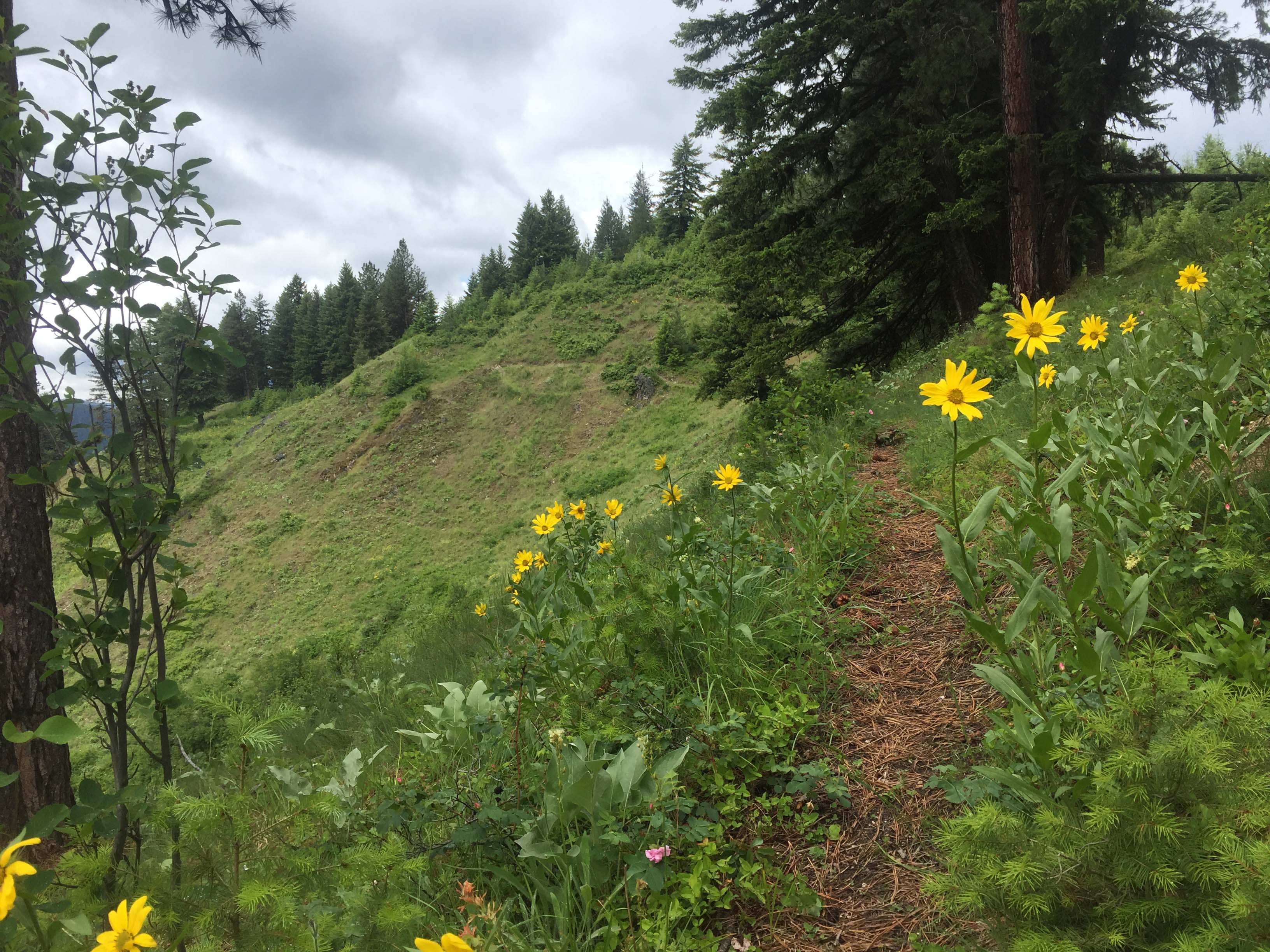
Bad Luck Mountain is an old US Forest Service Lookout site that had a structure from 1939 till about 1980. Only a few concrete blocks remain today. The summit is mostly forested now with 25-40 year-old Douglas-fir and ponderosa pine. Open grassland falls steeply from the summit to the south. This yields good views of the upper Selway River and White Cap Creek steep walled canyons, and the Paradise Work Center. The access road is very scenic following the high gradient and noisy Selway River. The road ends at the Paradise Work Center and Campground deep into the Selway-Bitterroot Wilderness area.
At Paradise is a Wilderness Float Launch site frequented daily by a group of permitted floaters from early spring through summer. The Forest Service Campground near the trailhead has 11 sites and vault toilets.
In August 1972, Lightning started the Bad Luck Fire. This became the first fire on the National Forests allowed to burn according to a management prescription within this large Wilderness Area. Many fire patterns can be observed while traveling and hiking in the area. It is also common in some summers to see smoke rising from wildland fires. Current wildfire information can be obtained at the West Fork Ranger Station or Paradise Work Center along the route. Some trails heads are signed warning of snag fall of fire killed trees.
Elevation gain: 2250’
Trail Miles: 5 roundtrip
Water: None. The trail hike and summit are dry.
Bear Pepper Spray: Highly recommended in all Northern Idaho and Montana summits
Wood ticks: Common from Spring to early summer.
Map: Selway-Bitterroot Wilderness Area, Bitterroot National Forest
Directions: South of Darby, MT nearly 4 miles leave highway #93 and travel up the West Fork Bitterroot Road #473 for approximately 14 miles. Turn right, west onto the Nez Perce Fork road. Continue up that road for approximately 16 miles to Nez Perce Pass. Continue over this paved pass traveling down the Magruder Corridor along Deep Creek approximately 16 miles to the Selway River. Here a quarter mile side trip up the Selway River (left) ends at the historic Magruder Ranger Station. But continuing downstream (right) the road is narrow in many places but is well maintained. Cautions include horse and raft trailer traffic, and fallen rock and trees from old wildfires. The road follows the narrow canyon of the Selway River to Magruder Crossing. Here stay to the right and do not cross the river but instead continue down river approximately 12 miles to the Paradise Work Center and Campground. The trailhead for #52 was not signed in 2017 but is just across the road from the upper access road to the Work Center Headquarters. This trail is easy to follow but is steep with early switchbacks and a long 2.5-mile climb to the summit. This trail mostly follows a ridgeline to the summit. Many portions of the trail can be viewed on Google Earth.