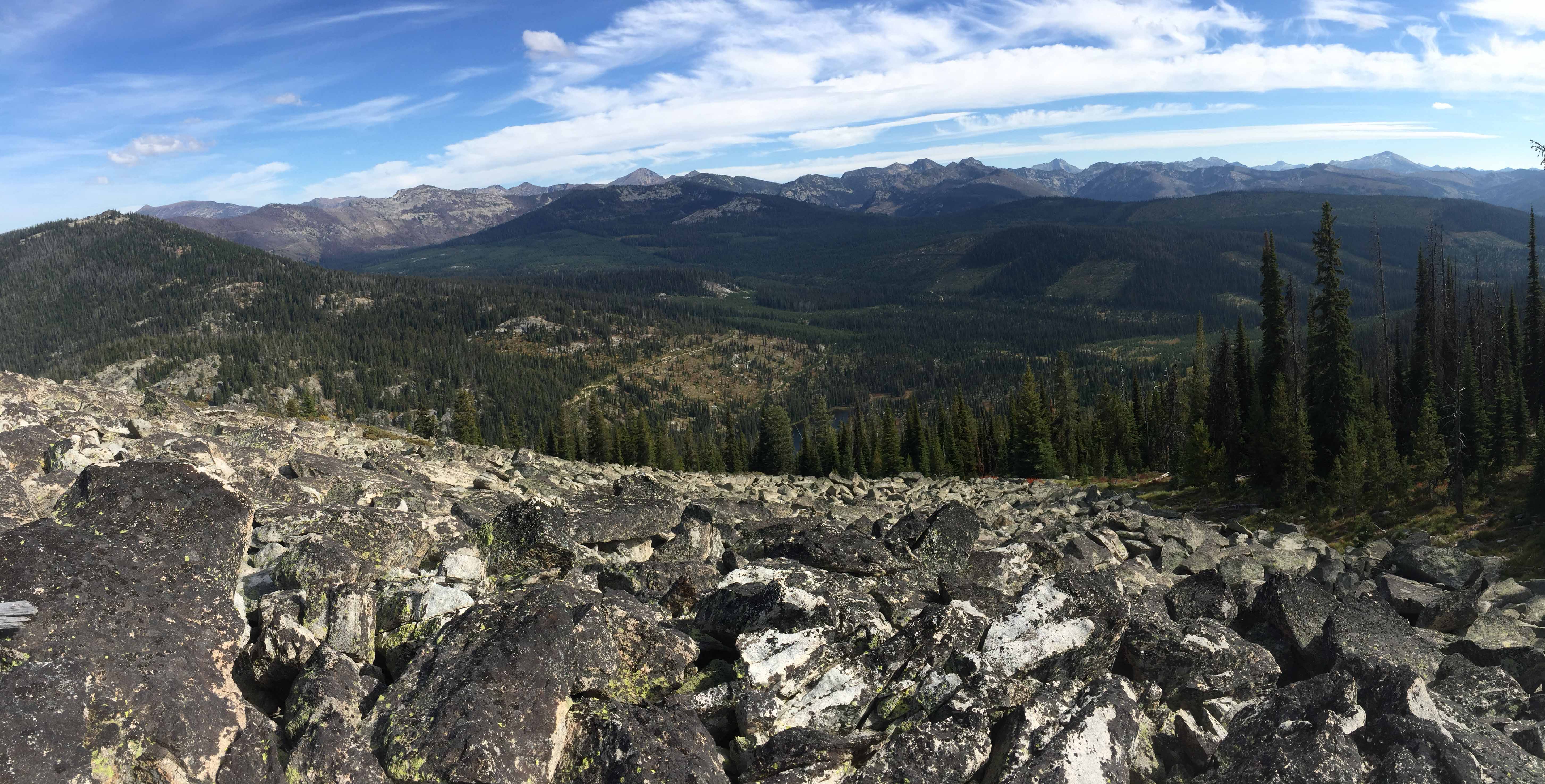
This un-named summit on the Idaho/Montana Border has similar views as Skookum Butte Lookout to the east 1.5 miles. The route also has good views looking down on Granite Lake. Distance views are peaks in the Selway Bitterroot Wilderness. It combines a vehicle drive, mountain bike road, a hiking trail and off-trail hike. Moose can be spotted grazing in the willow bottoms or lake shore in this area.
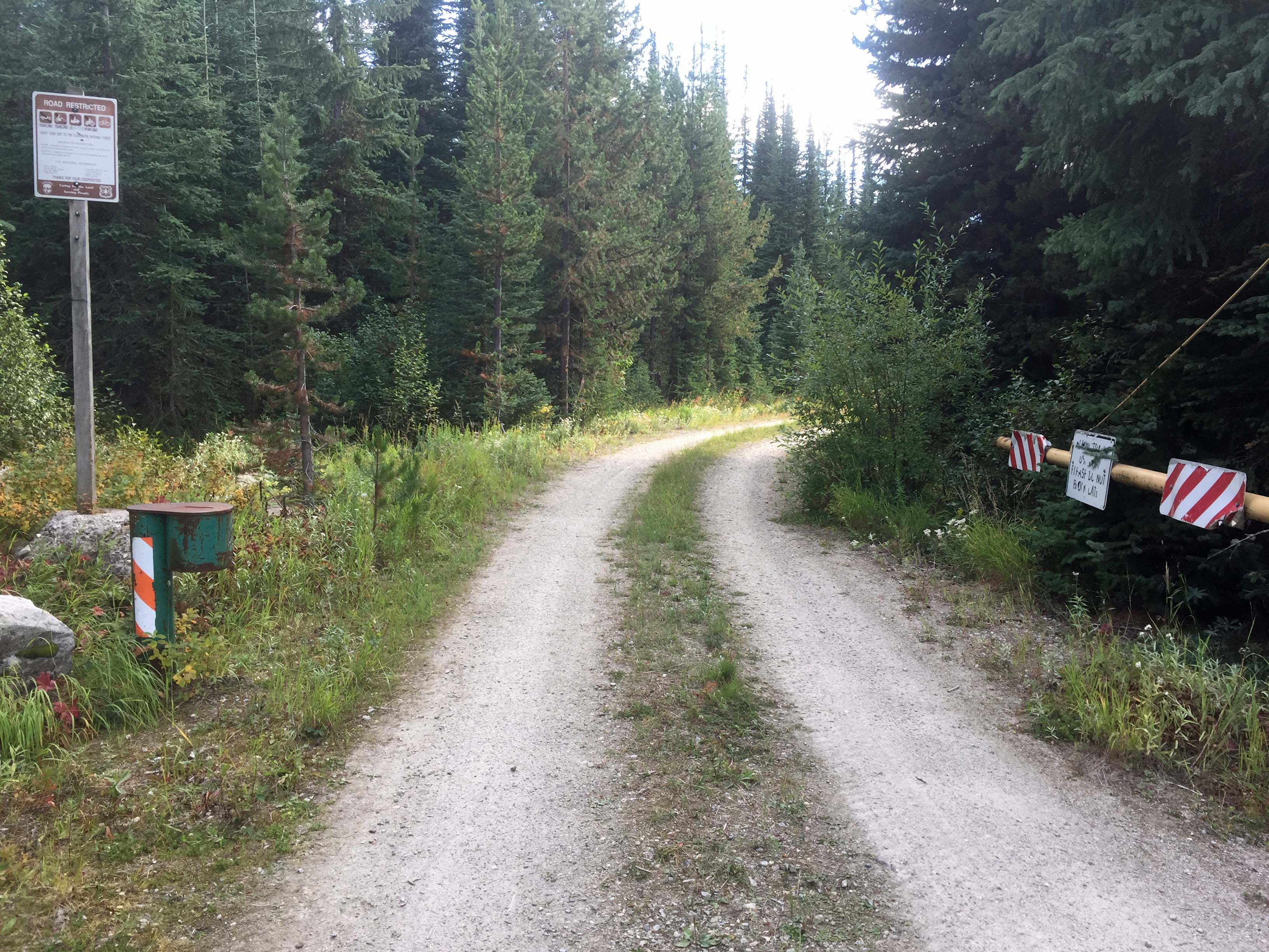
The mountain bike road has a gate. The sign says yearlong closure for motorized wheeled vehicles, but the gate was open the day I arrived. I elected to park and ride the mountain bike as was my original plan. It is a low-percent grade good easy road to ride. The last 0.3 mile is an old logging spur road and has a few sapling trees and low vegetation growing in it.
Trail # 1 is not signed, but was easy to find, especially after a pre-trip recon on Google Earth.
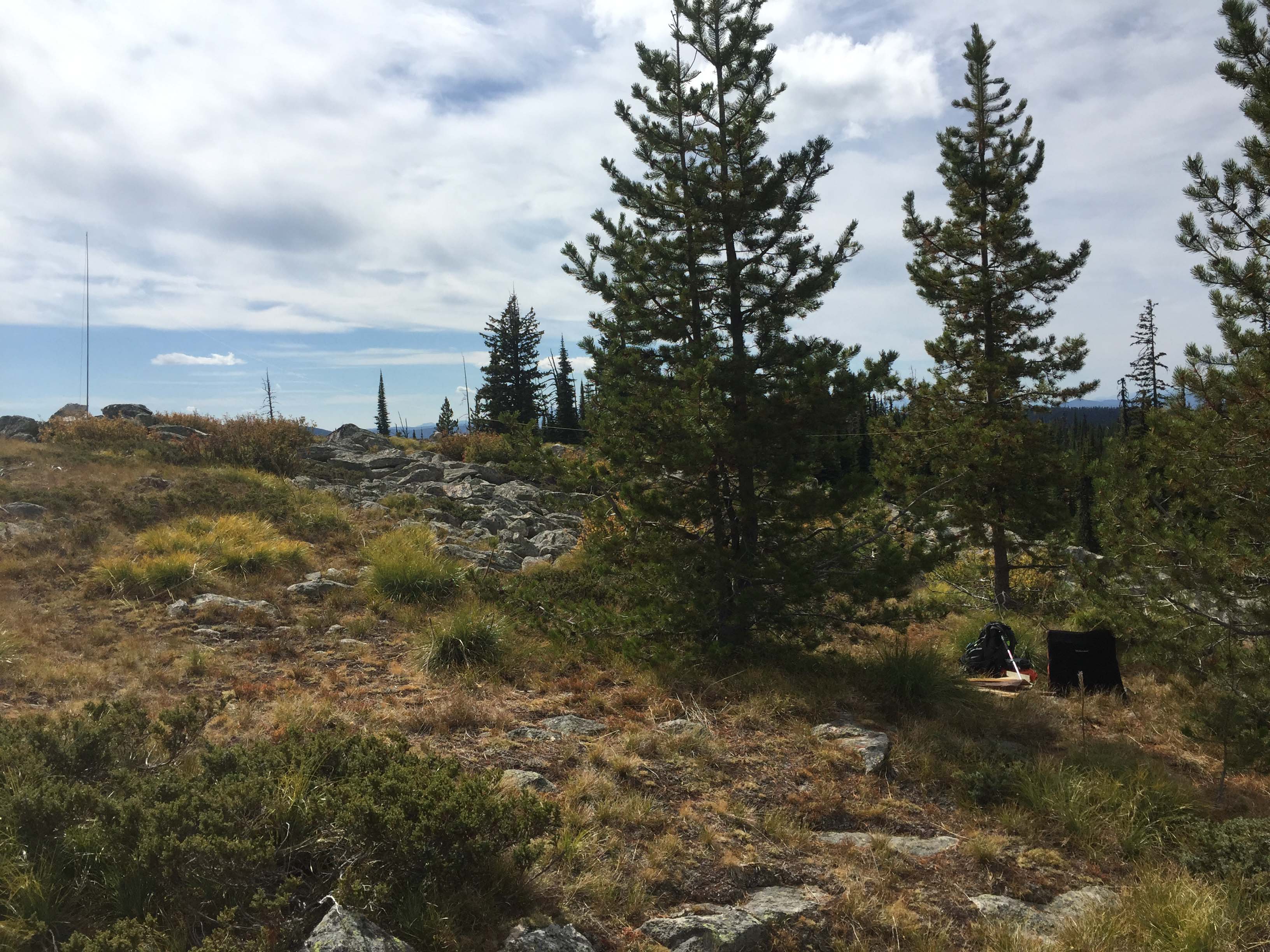
There are scattered trees on the summit for hanging wire antennas and rocky ground area for securing antenna poles.
Elevation gain: 900’
Mountain Bike Road Miles: 6.5 roundtrip
Trail Miles: 1.5 roundtrip
Off-trail Miles: 1 roundtrip
Water: Along the mountain bike road one crosses Brushy Fork and the outlet to Granite Lake.
Bear Pepper Spray: Highly recommended in all North Idaho/Montana summits.
Maps: US Forest Service, Clearwater or Lolo National Forest
Directions: From Lolo Montana travel west on Highway #12 approximately 10 miles to the Elk Meadows Road #451. Turn south onto this road driving approximately 10 miles. The road becomes FS #373. Continue about 2.25 miles to FS#5959. This gate may be closed. Follow this road 1.75 miles to FS#5962. Turn right onto this road that drops and crosses Brushy Fork Creek. Follow this road approximately 1.25 miles to an old logging spur making a hard-right turn. Travel up this logging spur for 0.3 miles to intersect FS Trail #1. Hike this trail approximately 0.7 miles to logical openings near the south ridge of the summit. From here it’s about 0.5 miles to the summit. It is good travel, but has some tippy large talus boulders with a few hundred feet of the summit.