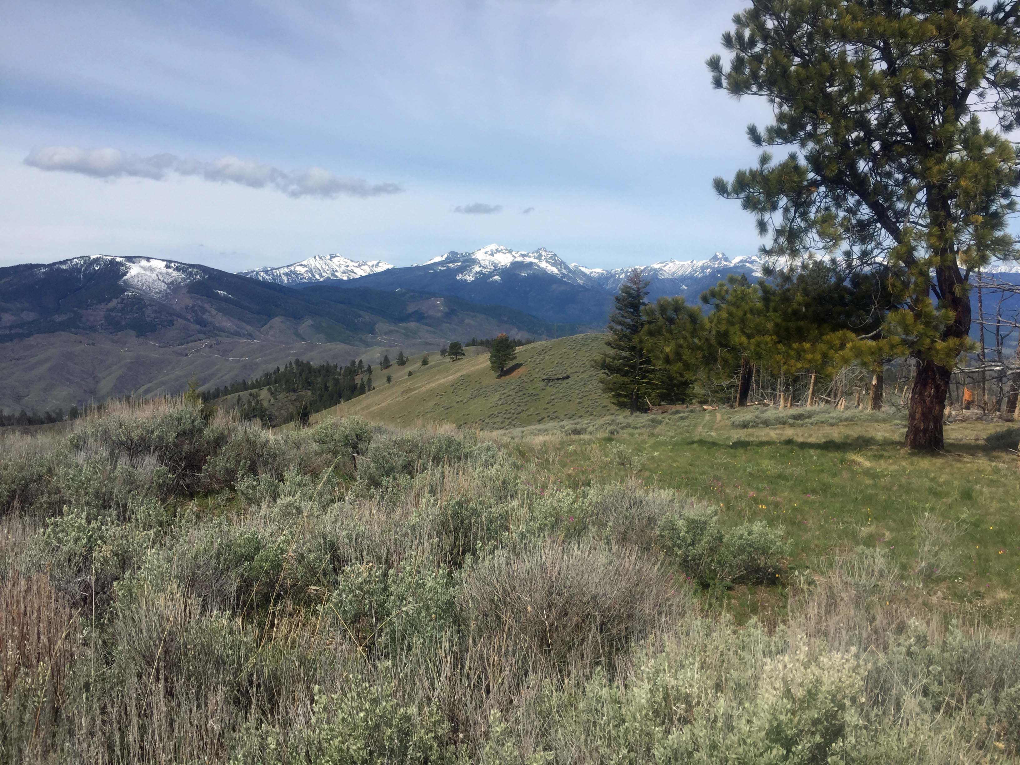
We selected the southern route for Elk Point. This southern route allows for a double activation with Sula Peak W7M/RC-138. This mostly open-ridgeline route has good views of distant Bitterroot Mountains, Anaconda Pintler Mountains and closer views of the Sapphire Mountains and East Fork Bitterroot River valley.
Access from the north is via the Robbins Gulch or Rye Creek roads and trails.
We didn’t see any elk on the ridge or summit, but nearly 50 elk with feeding in the green valley below. Bighorn sheep are seen near the access road and on Sula Peak nearby. Woodticks are notorious in the Bitterroot/Sapphire area especially in the spring season.
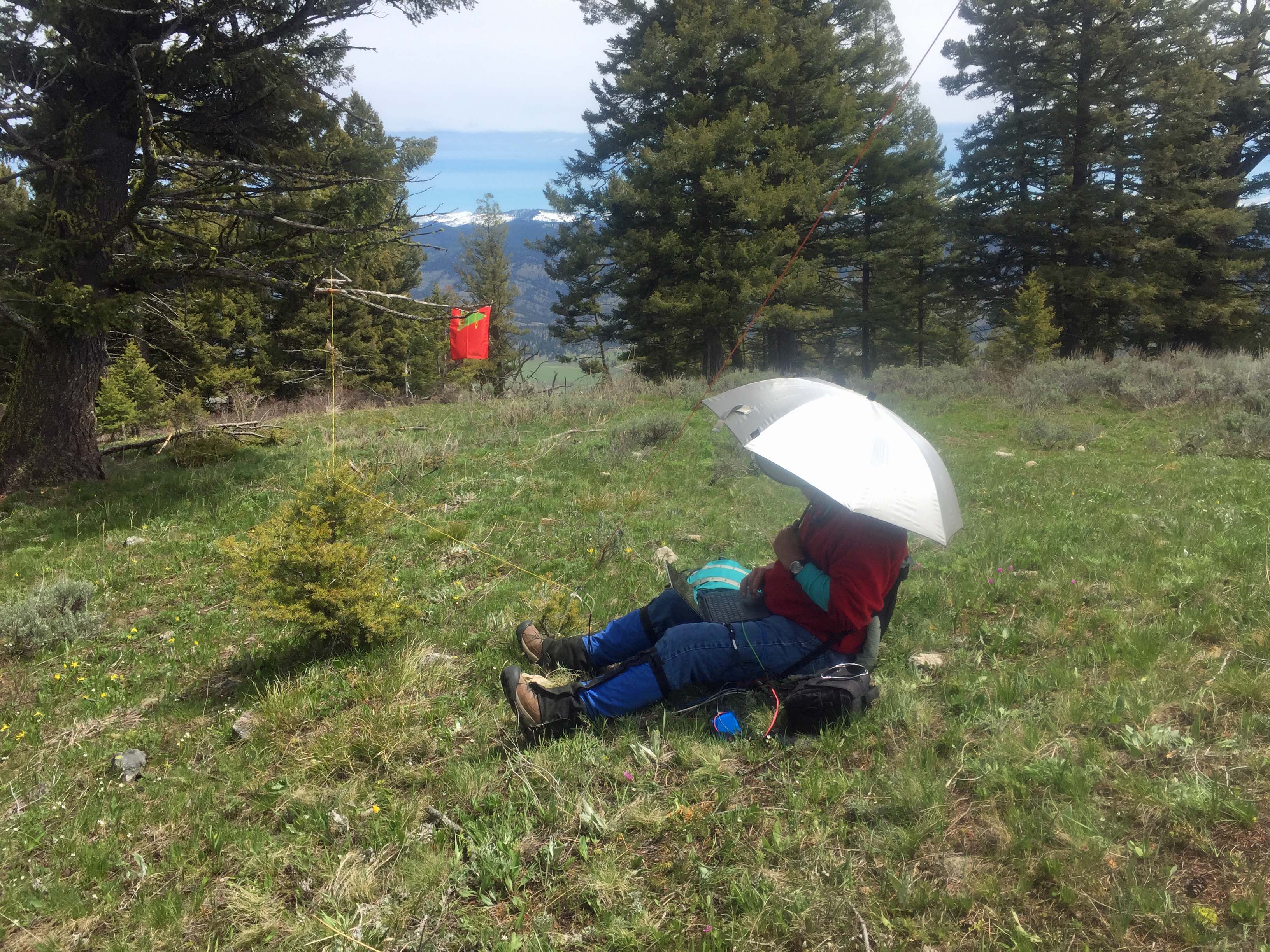
There are scattered trees on the summit for holding antennas.
Elevation gain: 1100’
Trail Miles round trip: 6
Water: There is no water at the trailhead or along the trail.
Bear Pepper Spray: Highly recommended in all Montana summits.
Maps: US Forest Service, Bitterroot National Forest
Directions: Approximately 2.6 miles north of Sula Montana exit highway #93 onto FS 5727, the Spring Gulch Road. This road was not signed in 2020. It is signed 5727 approximately 0.25 mile up the road where it turns directly east up Spring Gulch. Follow this road approximately another 2.75 miles to a large saddle and parking area. Beyond this saddle the road switchbacks and climbs 0.8 mile to Sula Peak Lookout, W7M/RC-138. Park at the saddle and travel north on road/trail #73428 for approximately 2.5 miles to the junction with FS 73447. Up this trail .4 mile is the summit. Trail #73428 is a good hiking trail or mountain bike trail. A portion of this trail can be traveled via ATV during the summer through early fall months. See the Bitterroot NF Motor Vehicle Use Map for restrictions.