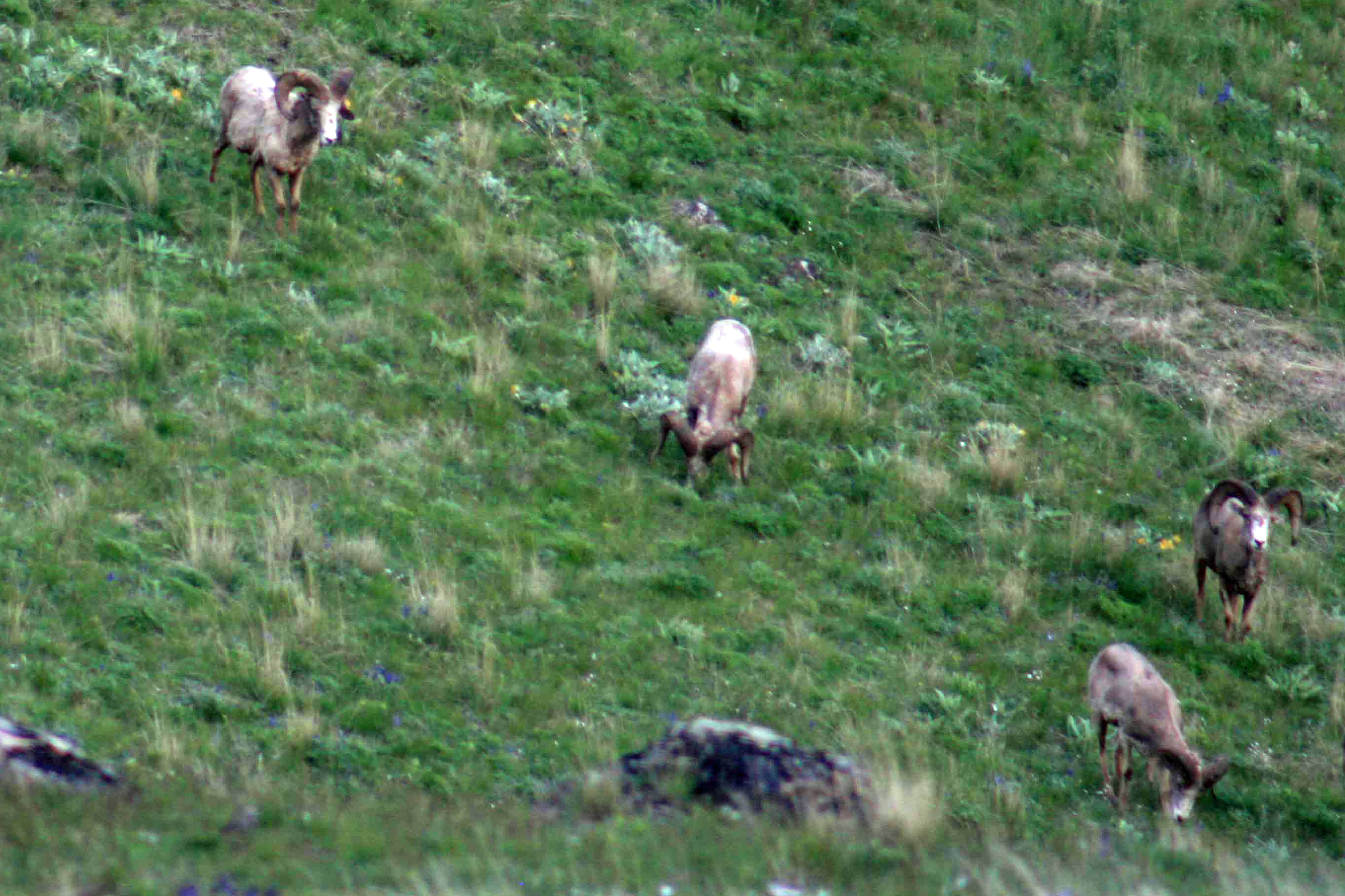
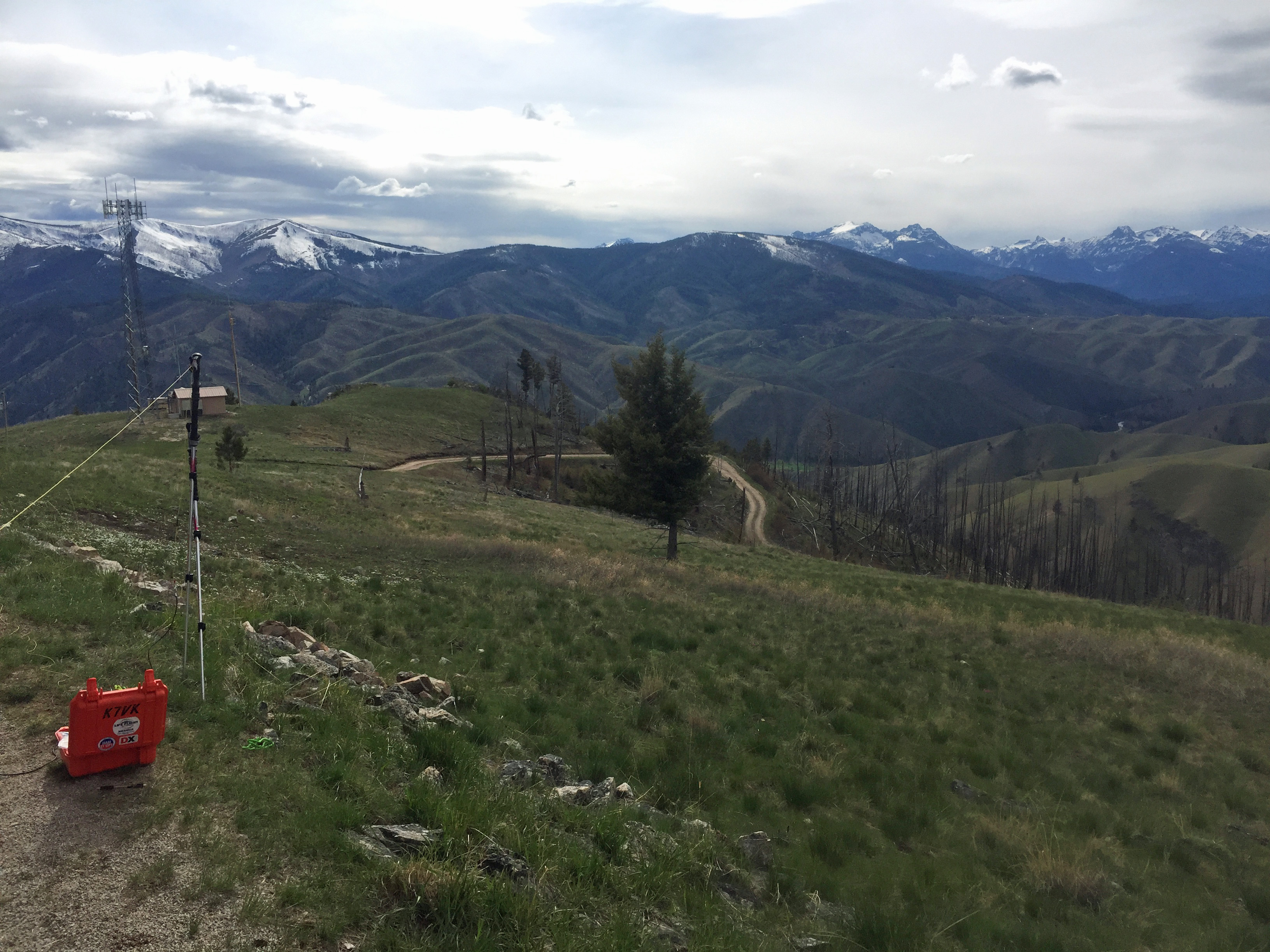
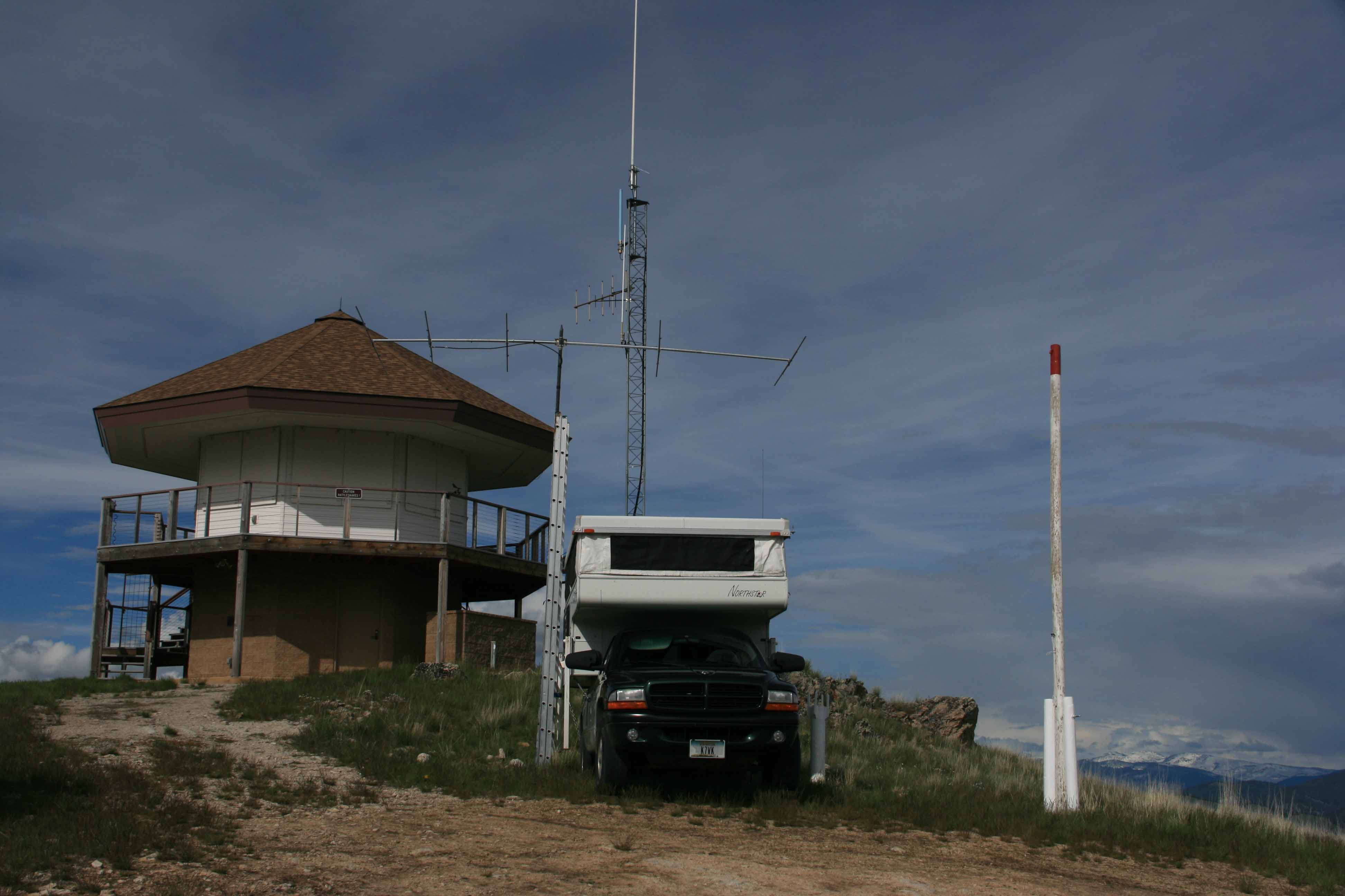
At less than 4 miles of good road off Highway 93, Sula Peak is a popular ‘travelers’ summit for drive-up VHF DN25/DN35 and SOTA activations. A modern US Forest lookout and a communications facility occupy the summit. Frequently there are bighorn sheep grazing in the area and especially in the spring on the highway.
The lookout is staffed in summer. It has great views of distant peaks and the East Fork Bitterroot valley. An interesting sign on the lookout states “Caution Rattlesnakes!” The site has been a US Forest Service lookout since 1921. The 1957 reconstructed lookout was burned in a wildfire in 2000. The current modern lookout was completed in 2001.
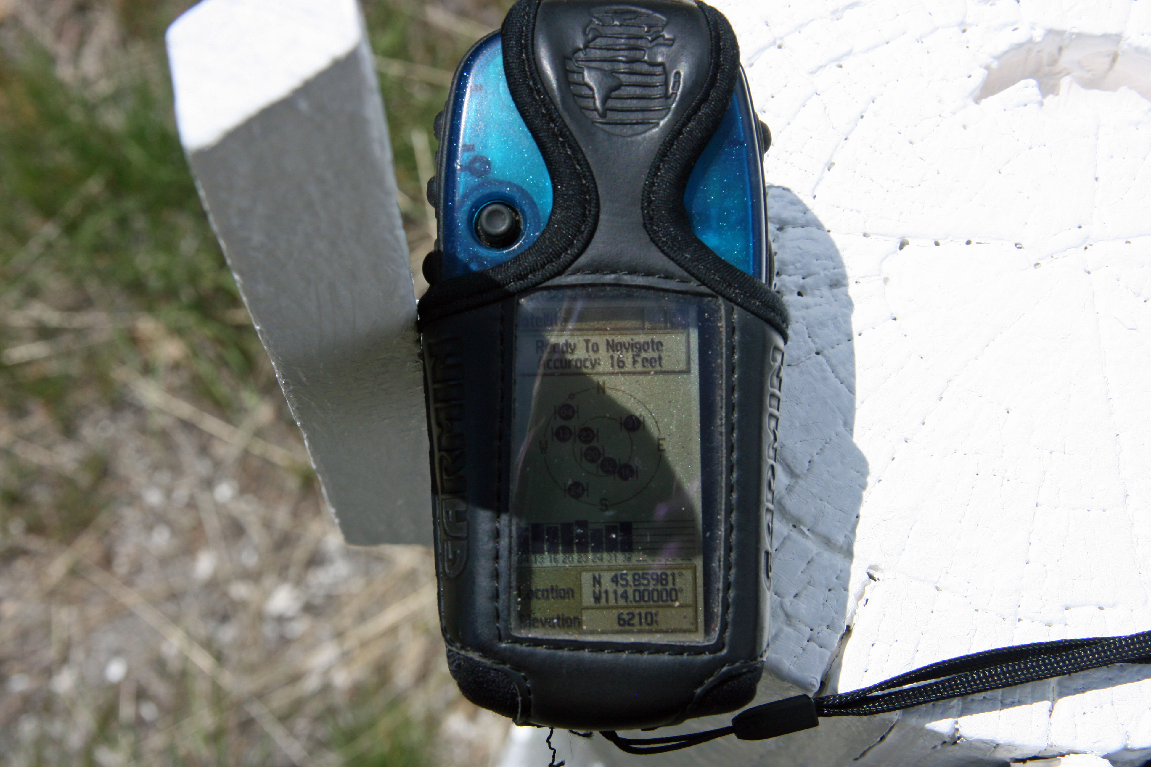
Sula Peak sits on the boundary of DN25 and DN35 making it an attractive site for Grid Square activators. The longitude line runs just off the lookout to the west next to the logical parking area.
There are no trees on the summit for holding antennas, but a few rock outcrops can be used to hold a pole.
Elevation gain: 0’
Trail Miles round trip: 0
Water: There is no nearby water source.
Bear Pepper Spray: Highly recommended in all Montana summits.
Maps: US Forest Service, Bitterroot National Forest
Directions: Approximately 2.6 miles north of Sula Montana exit highway #93 onto FS 5727, the Spring Gulch Road. The road entrance is just off the south end of a bridge, a sharp exit. This road was not signed in 2020. It is signed 5727 approximately 0.25 mile up the road where it turns directly east up Spring Gulch. Follow this road approximately another 3.75 miles to the summit.