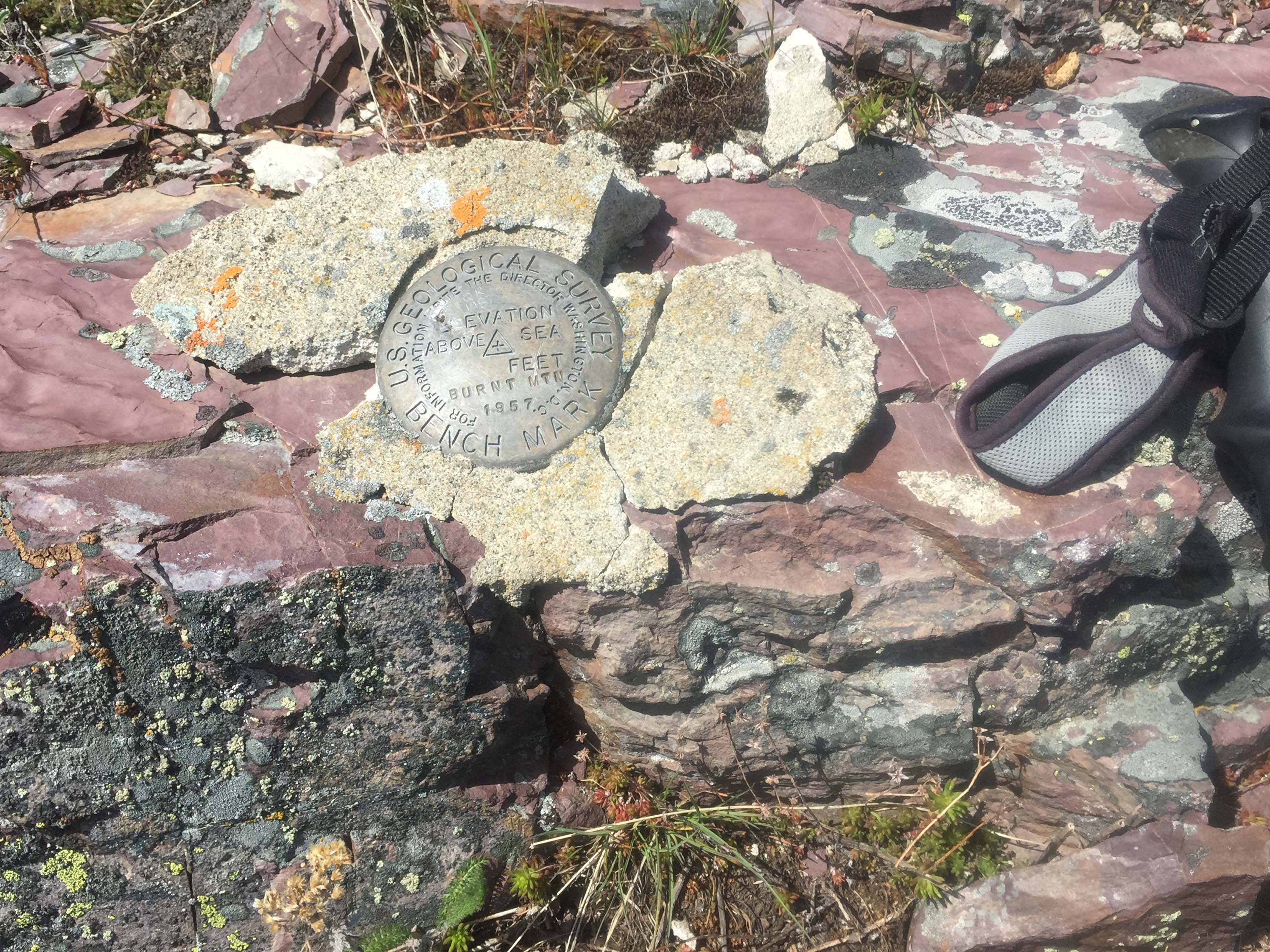
One-day, three summits. A good US Forest Service road system gets one close enough to activate three summits easily in one day, rare in Western Montana. Burnt Mountain is an open grass/scattered-tree summit. The other two nearby summits are Golden Mountain (W7M/GA-141) and Babcock Mountain (W7M/GA-146). Both accessible via short hikes from the same US Forest Service road system.
Trees and rock structures are available for attaching wire antennas or antenna poles.
The summit has good views of Rock Creek Canyon and nearby Sliderock Mountain (W7M/GA-093), an old US Forest Service Lookout site. This entire lookout has been relocated as an interpretive display to the Fort Missoula Museum in Missoula, MT.
Elevation gain: 600’
Off trail miles: 1.0 round trip
Water: There is no nearby water source.
Bear Pepper Spray: Highly recommended in all Montana summits.
Maps: US Forest Service, Lolo National Forest, Missoula Ranger District
Directions: On I-90 take exit 130, Beavertail Hill. Travel south on FS #354 for approximately 8 miles. Turn west (right) onto FS#4300. Travel 1.8 miles to Welch-Gillispie Saddle. Turn south (left) onto FS#2114 for 1.3 miles. Turn left onto FS#16792 for 1.0 mile parking at a tight switchback with a steep cutslope. Here begin the grassland hike to the summit.