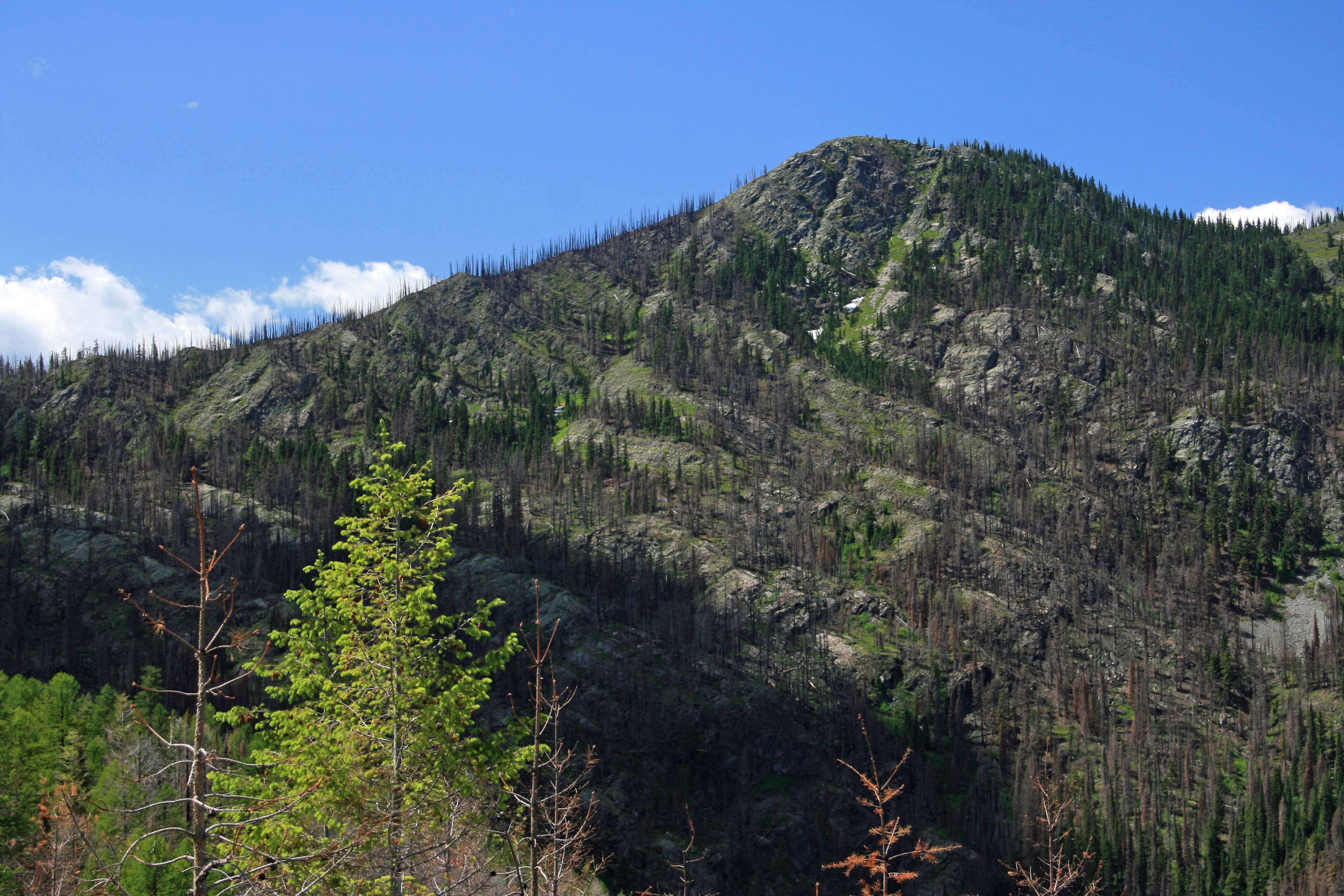
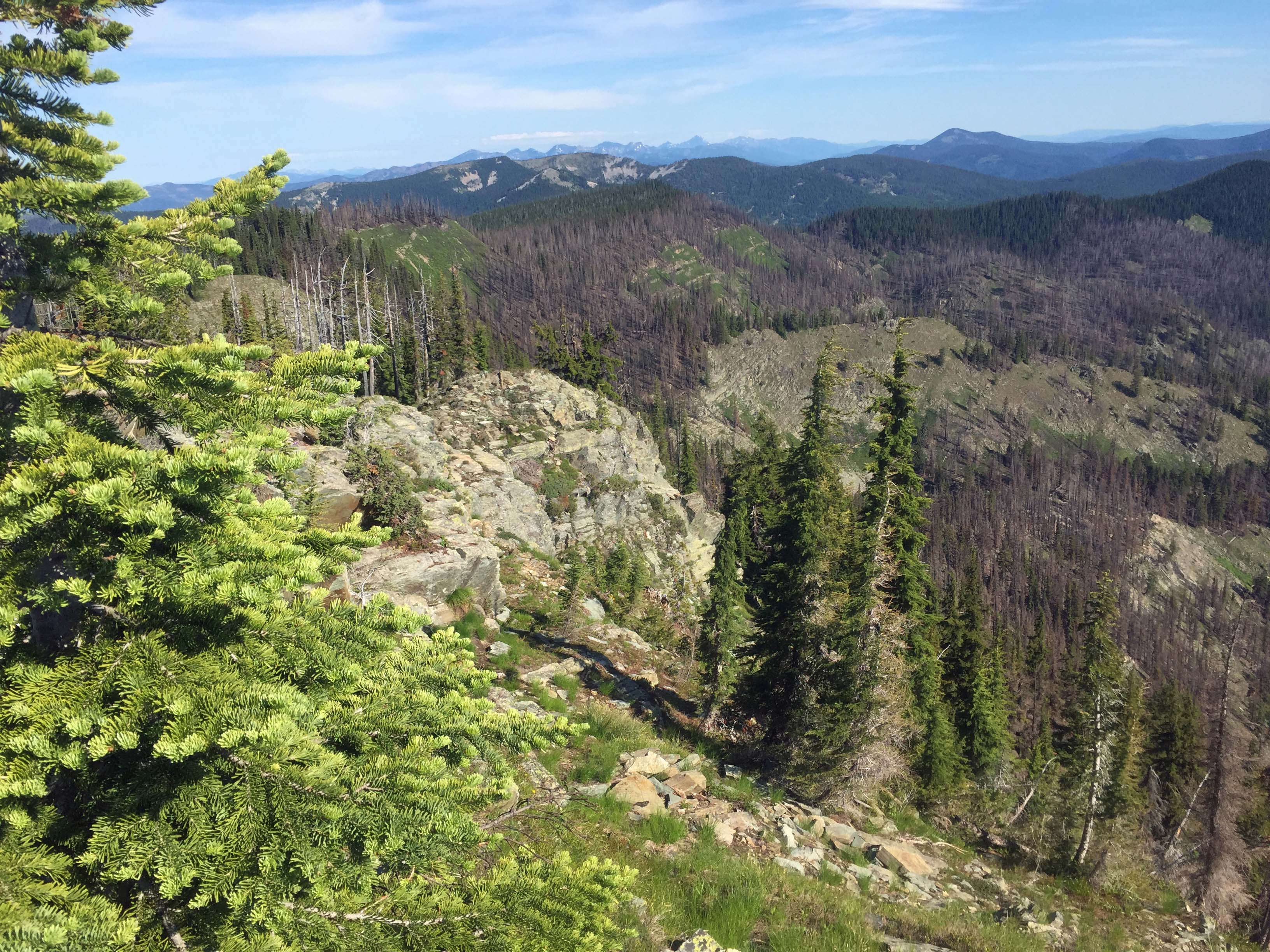
Vermilion Peak is accessed via a moderately climbing trail in the southern Cabinet Mountains. It also makes an easy SOTA double when teamed up with Mount Headley, W7M/LO-018. The summit has fine views of nearby summits and distant peaks, like the Cabinet Mountains Wilderness Area.
Be sure to stop and view Graves Creek Falls while traveling the Graves Creek Road to the summit. A large pullout on the Northside of the road is at about mile 3.0. It is not signed.
Vermilion Pass is the trailhead for both SOTA summits, Vermilion Peak and Mount Headley. Vermilion Peak was a US Forest Service Lookout from 1935 till the L4 Cabin was destroyed in 1963.
Trail Miles: Less than 2 miles roundtrip.
Water: None exists along the trail.
Bear Pepper Spray: Highly recommended in all Montana summits.
Map: US Forest Service, Plains/Thompson Falls Ranger District
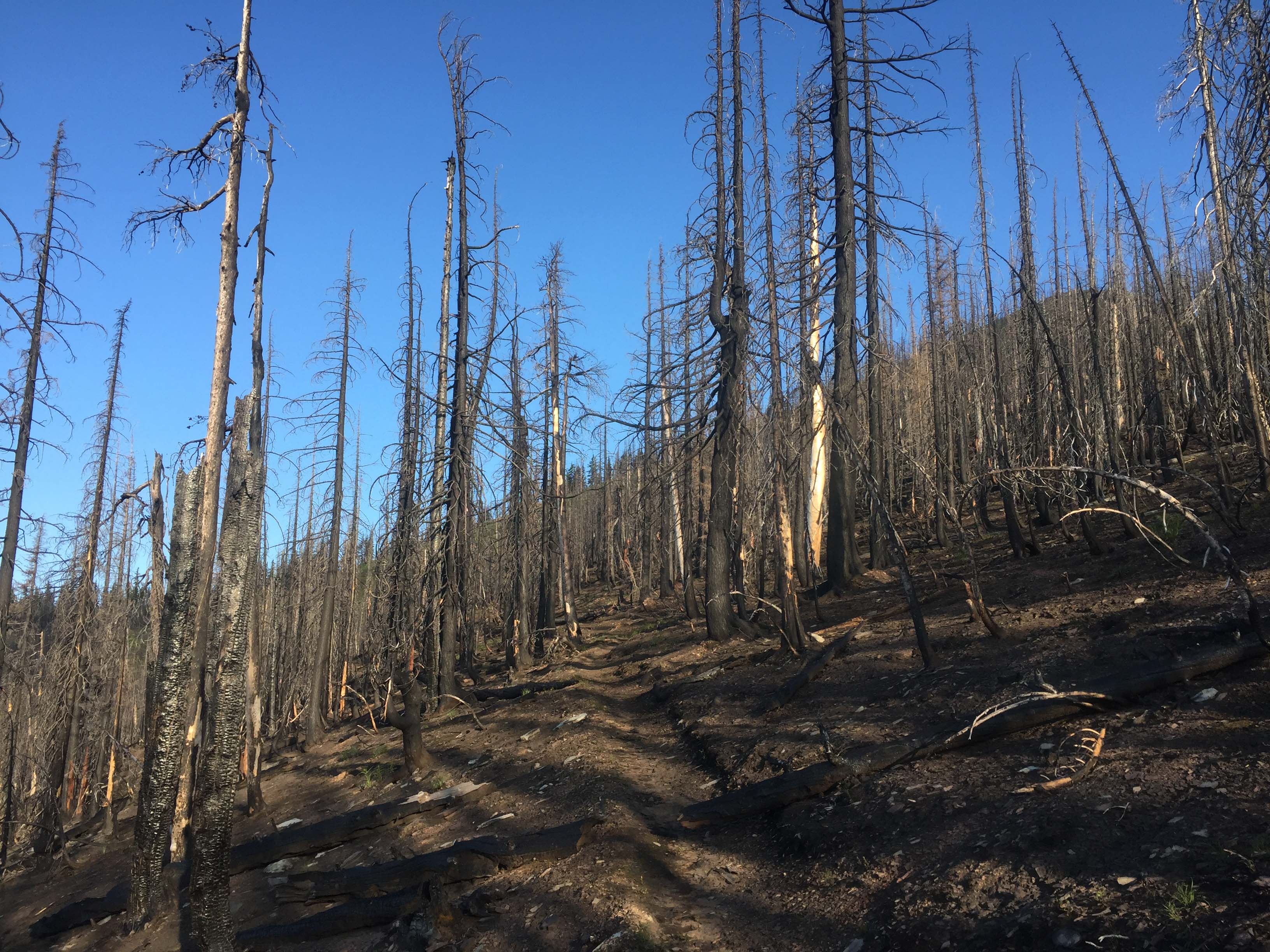
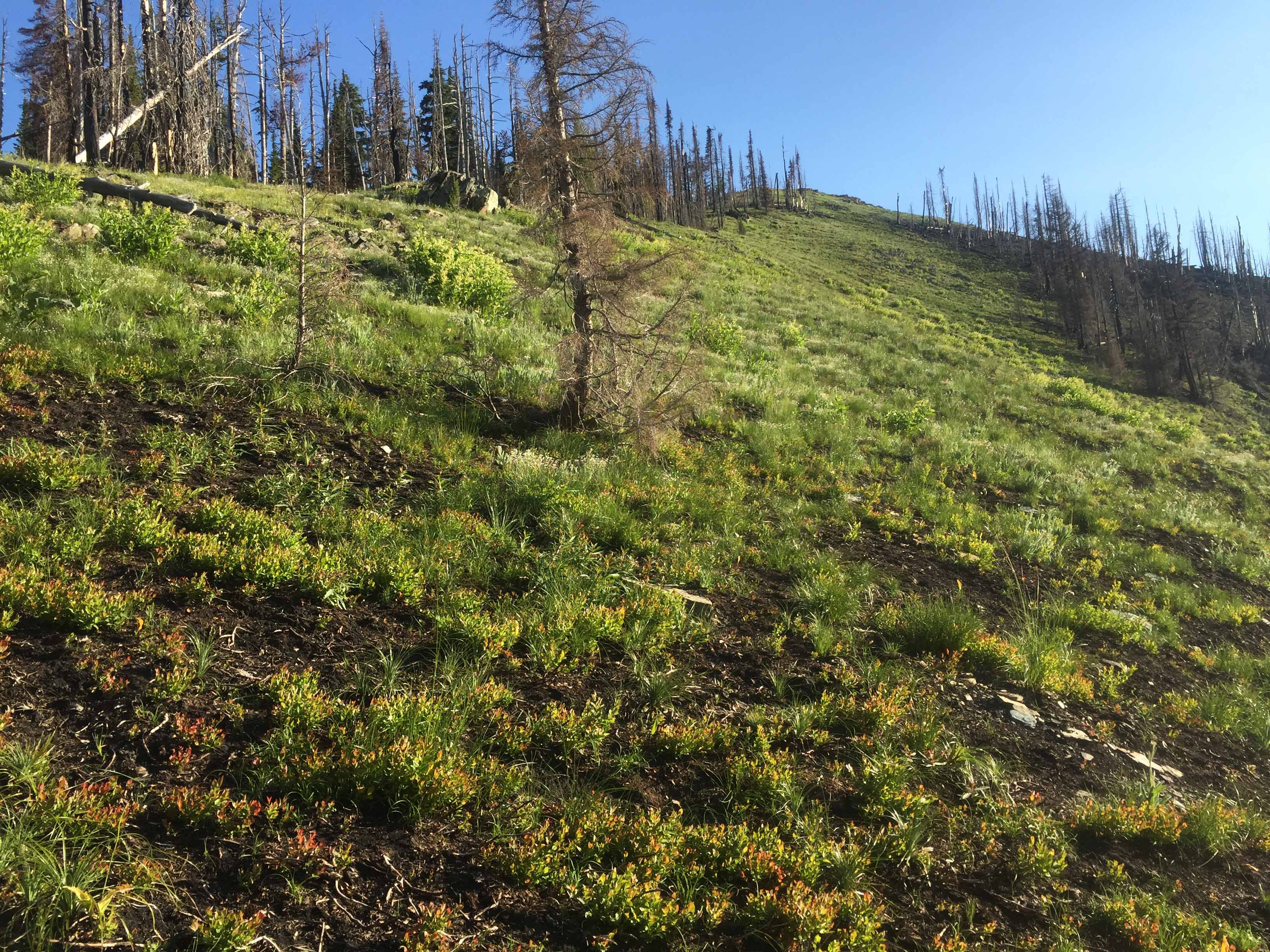
Directions: North out of Thompson Falls on Highway 200 approximately 1 mile turn right, signed Thompson Falls State Park. Follow this paved road approximately 61/4 miles to the Graves Creek Road. Follow the Graves Creek Road approximately 10 miles to Vermilion Pass. The road is passable with a passenger car with good clearance however when I travelled it there were an occasion large holes and an occasional large rock that can sneak up on you. Near mile 3.0 is a large pullout and short 200’ trail to a viewpoint at the top of Graves Creek Falls. The trail begins down a closed road a few hundred feet. It was not signed when I was there. Follow the climbing trail through an old burn and open grassland. After about ½ mile, the trail enters the forest again on a weak ridge. Here, look for a not well-defined trail climbing to the north. In a short distance the trail becomes obvious. Follow this trail for less than a ½ mile to the summit. As an alternative, one can just head up the open grass-forb ridge to the summit.