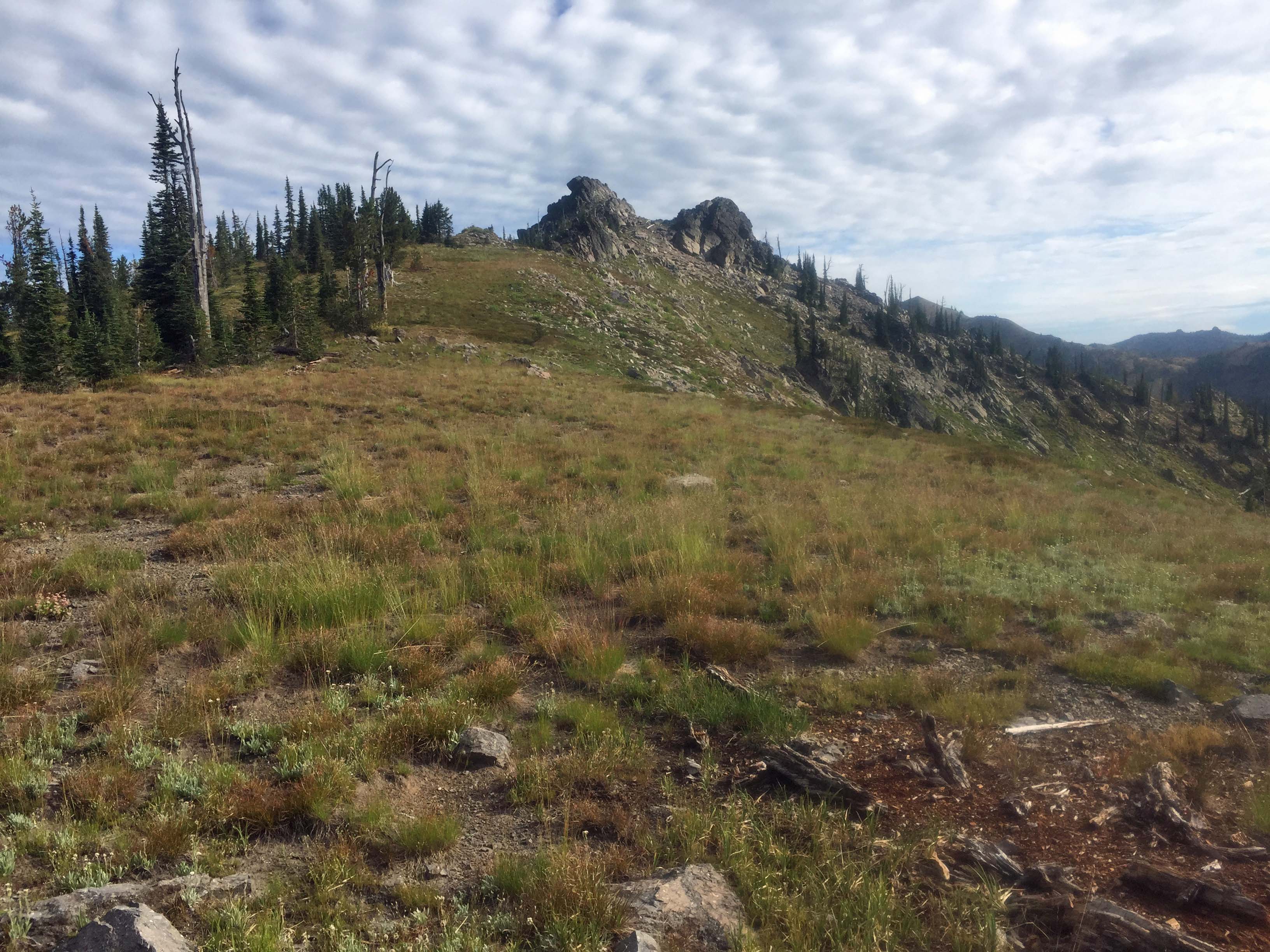
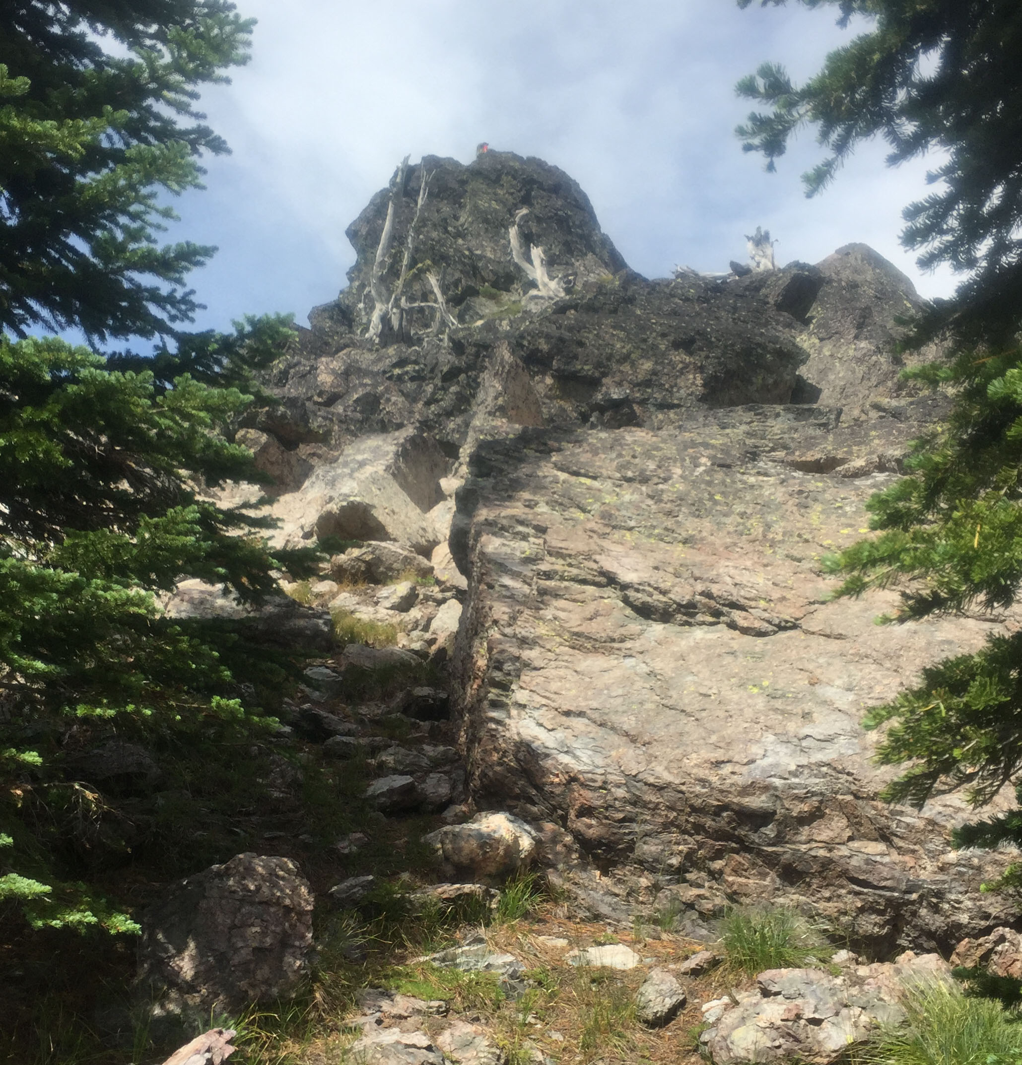
Williams Peak is a good trail hike with a short off-trail hike and a short rock scramble. The summit has good views but little room for operating. A good alternative is to hunker-in just below the summit and tie off to one of the few snags or live trees on the south side.
Williams Peak is also an ideal hike for a double activation with Rhodes Peak, W7I/NI-001. Both are just off the well-maintained US Forest Service Trail # 508. Both summits are an easy access up grassy/rocky ridges
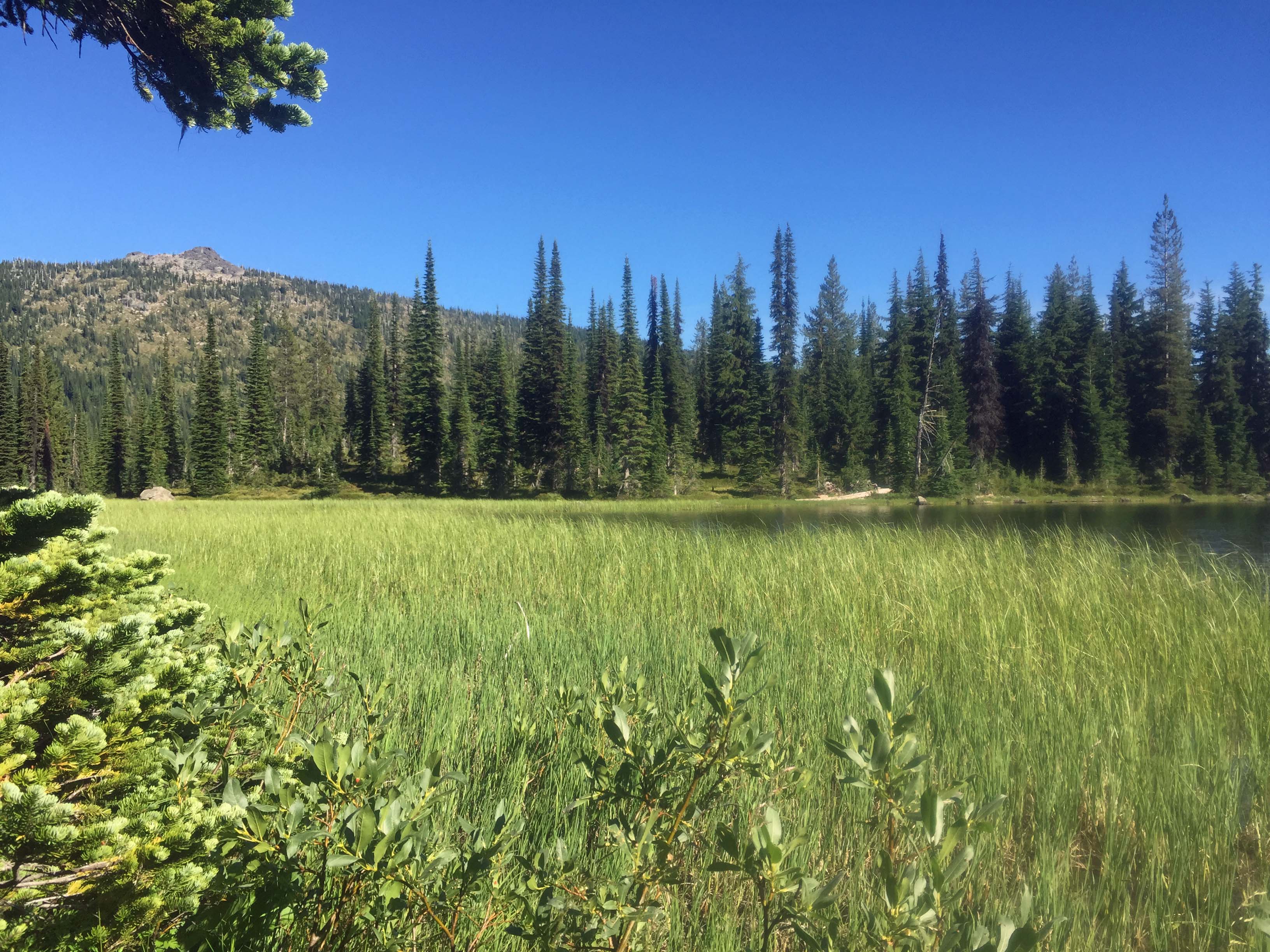
For those speedy hikers both summits can be hiked in a day. For those like me, trail sloth, a backpack camp at Goat Lake half-way there is a fine alternative for a multi-day hike to the three nearby summits. The lake sets in a scenic alpine basin next to W7I/NI-108 and looks across a valley to Williams Peak W7I/NI-003. Rhodes Peak W7I/NI-001 is Clearwater County’s highpoint and is sought by those summiting every County highpoint in Idaho. We met folks on our hike heading for this popular summit.
Trail Miles to Blacklead to Goat Lake: 6 miles roundtrip (8 miles if you hike and not drive FS#581C)
Trail Miles Goat Lake to near Williams Peak: 3.2 miles round trip
Final Off-Trail Miles to Williams Peak: 0.6 miles roundtrip
Elevation Loss from Blacklead trailhead to Goat Lake: -800’, yup downhill.
Elevation gain from Goat Lake to Williams Peak: 1000’
Water: There are several water sources along this route and at Goat Lake provided you bring suitable water purification equipment.
Bear Pepper Spray: Highly recommended in all North Idaho summits.
Maps: US Forest Service, Clearwater National Forest and/or The Great Burn Outdoor Recreation Map.
Directions: A slow mostly narrow US Forest road extends nearly 30 miles from Highway #12 to the Blacklead Trailhead. Often in the summer the route has caravans of all terrain and side-by-side vehicles noisily tracking the course as a portion of the route is along the Lewis and Clark, and Nez Perce trails. From Lolo Pass on the Idaho/Montana border travel west approximately 12 miles to FS#569. The junction is about ¼ mile east of the Powell Ranger Station/Lochsa Lodge access road. Travel essentially north on FS#569 for approximately 6 miles to Powell Junction. Here take FS#500 for another 12 miles to Cayuse Junction. At Cayuse Junction take FS#581 to the north for approximately 8 miles to a junction with FS#581C. This road becomes steeper and a high-clearance vehicle is advised. It’s a bit less than a mile to the top of Blacklead, the trailhead. The trailhead is at a large circular turnaround. Although wheel tracks continue, the track is signed that no vehicles are not allowed beyond this point.
From the trailhead travel on trail #513, a two-track for approximately 0.5 mile. Then turn east downhill onto trail #508. Goat Lake is approximately 2.7 miles. Williams Peak is approximately 4.3 miles. Though the trail is well used and maintained it is a bit obscure a few hundred feet as it leaves Goat Lake outlet due to tall huckleberry and other shrubs and when it crosses a grassy meadow on the south ridge of Williams Peak. Recognize where the trail hits the meadow so you can find it as you return from Williams Peak.