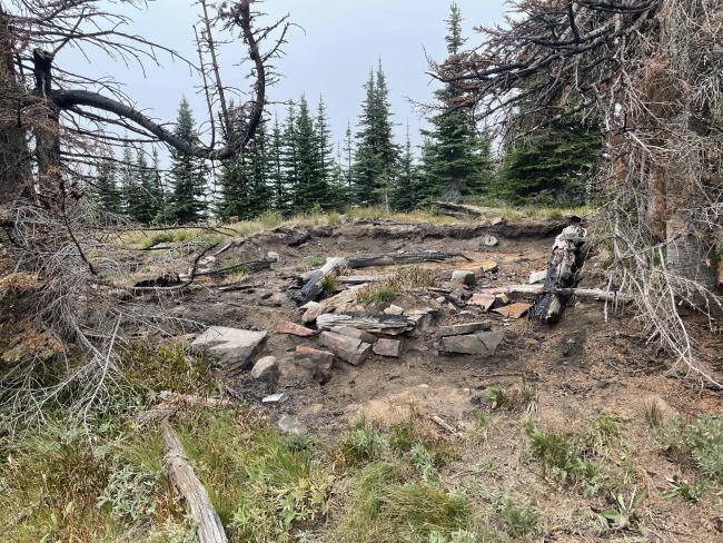
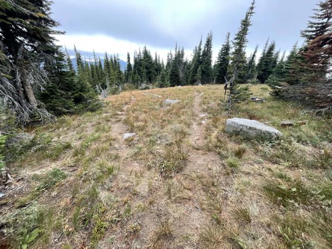
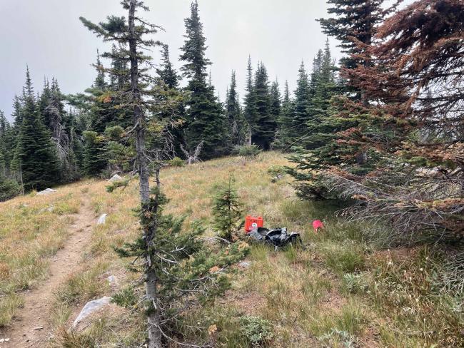
Canuck Peak is a forested summit in far northwestern Montana. The summit is identified only by three summit trails all heading downhill, a sign pointing to American Peak and a recently burned cabin. The trail to Canuck Peak is part of the Pacific Northwest National Scenic Trail system Congressionally designated in 2009. The one-mile trail portion to Canuck Peak is a well-maintained easy grade. The trail traverses’ dense subalpine forest having periodic good crops of summer huckleberries.
Access is via major highway #508. Along this route a recommended stop is Yaak Falls, a cascading waterfall that is picturesque in any season. Another place to visit is Yaak, a small but famous town with a bar called the ‘Dirty Shame’. There is also a restaurant and gas station in the town. Cell service is available here. During the early cold war days, 1950-1960’s, the Air Force had an early warning radar station just north of the town. One can only imagine how busy this town must have been back then.
The forested summit has good openings and trees for installing antennas.
Trail Miles: 2.2 roundtrip
Elevation Gain: 830’
Water: None along the trail.
Bear Spray: Recommended for all Montana summit hikes
Camping: US Forest Service campgrounds are along or near the main access highway #508. There are many dispersed sites to camp as well. Be aware that you are within Black and Grizzly bear habitat.
Directions: Travel northwest from Troy MT or northeast from Bonners Ferry Idaho on Highway #2. Then north on Highway #508 approximately 22.5 miles to the Spread Creek Road, FS#435. Travel north up #435 approximately 13 miles to the Spread Creek-Canuck Creek divide. Spread Creek Road is a well-maintained logging road.


