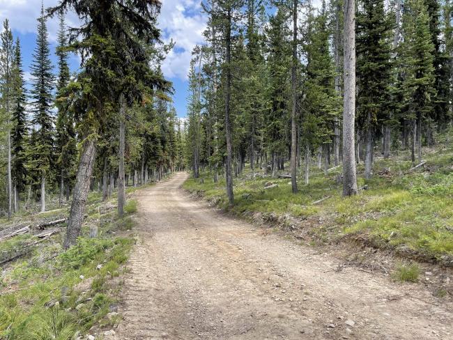
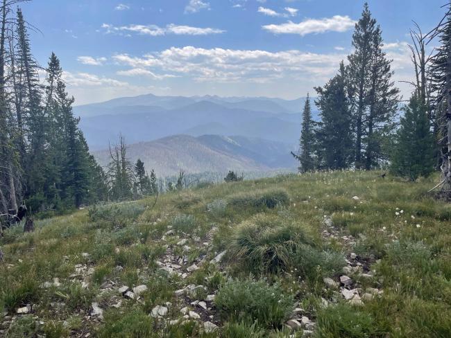
Anderson Mountain is a drive-up for most vehicles (possibly excluding low clearance vehicles). Nearby places to visit include the Big Hole National Battlefield. The Battlefield is the site of an 1877 tragic and deadly encounter between the Nez Perce Tribe and the US Military. The Battlefield Visitor Center is located approximately 17 miles east on Highway #43 from Lost Trail Pass, Idaho/Montana border.
This summit access road is part of the Continental Divide National Scenic Trail system. Expect to encounter hikers along this route, a section of the 3100-mile trail between the borders of Canada and Mexico.
Forest native-surface road miles: 6.35
Water: Available at Lost Trail Rest Area. None along the access road or summit.
Bear Spray: Recommend for all Idaho/Montana summit hikes including drive-ups.
Camping: Campgrounds and dispersed camping exist along Highway #43. Dispersed camping is also allowed along summit access road FS#081. Rest area facilities are available at Lost Trail Pass on Highway #93 and a vault toilet is at Chief Joseph Pass parking area.
Map: US Forest Service, Beaverhead-Deerlodge National Forest, Wisdom Ranger District or Salmon-Challis National Forest, North Fork Ranger District.
Directions: Begin at Lost Trail Pass 45.6939, -113.9484 that is between Salmon Idaho and Hamilton Montana. The summit access road FS #081 begins at Chief Joseph Pass on Highway #43 approximately 1 mile east of Lost Trail Pass. The road is signed 081 once one turns off the Highway. The turnoff is quite obscured by dense tree cover and lack of a sign at the highway. The road is also directly across the Highway from a large parking area and public vault toilet. Anderson Mountain lies 6.35 miles on FS #081 from Highway #43.


