
Summary - Summiting Monte Carlo in the winter is easy as long as you are good with an eight mile round trip with a 3000 foot climb. The first three or so miles of the hike is on a maintained forest road through open, old forest. The remainder is the steepest and roughest part of the hike, with big tree fall and some cross country travel. Your reward for taking on the challenge is a quiet, open summit ringed by old growth trees. Drive time from Portland is about 80 minutes across the Hood River toll bridge. No parking permit required but parking is quite limited.
The final climb up to Monte Carlo's Summit - yes it is that steep.
TL;DR - In the winter, there are a limited number of four point summits are here that are (a) within reasonable driving distance of Portland, (b) have accessible winter trailheads without a snow machine, and (c) don't otherwise require ten or more miles of hiking. Tom Dick Harry, Frog Lake Butte, Devils Peak, and Barlow Ridge come to mind (all of these are winter bonus peaks, too). Monte Carlo, which lies a little northwest of BZ Corner, is one of the few on the Washington side, though it lacks bonus points. Still, the summit doesn't come easy. From the gate to the top is roughly four miles and a three thousand foot climb, with a very steep finish.
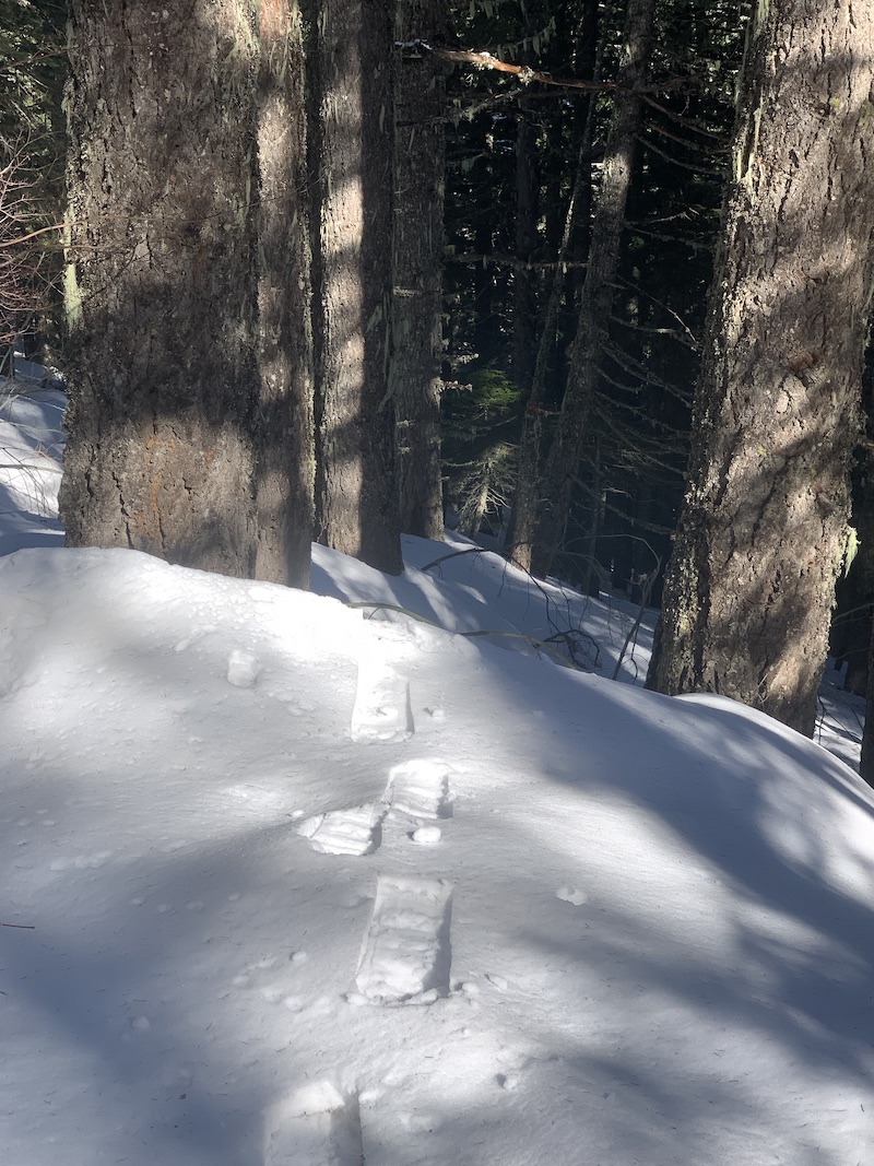
Access to the mountain is from the east, off highway 141, a little north of BZ Corner (45.87752, -121.51986). At the trailhead, you will find a gated forest road in good condition and very limited parking that is shared with kayakers putting into the nearby river. Strap your snowshoes to your pack as the first thousand feet of up will likely be snow-free. The climb is steadily up and fairly steep in places. Once above the snowline, I hiked along side plenty of bear, deer, cat, and rabbit track.
At 45.88166, -121.56188, (roughly 3100 feet) you will turn off the road onto a SW going path that climbs the last 900 feet in 0.75 miles. The path is steep to steeper, overgrown and requires navigating over or around several big trees. I was able to follow the trail but would want a map, compass, and altimeter handy in poor weather. And while you might have post-holed up to the turn, I wouldn't try the last section of trail without snowshoes and poles.
At the top you will find signage for the traverse trail to Monte Cristo (there are at least three summer routes from other directions). You are in the AZ now but if you head north one hundred yards or so, you will be on the true summit. The summit is open and ringed with old growth trees; there are peekaboo views of distant mountains and plenty of places to put up a wire. On a sunny and windless day like today, it is a pretty awesome operating spot. I wasn't able to make any 2M contacts but had a banner day on HF with 48 QRP CW QSOs across six bands. Life is good when the sunspot number is 190! There is ATT cell service; I did not remember to test APRS.
Monte Carlo is easily accessed in the winter (141 is at a lower elevation and cleared regularly), requires a combination of hiking/snowshoeing, and is a challenging-but-not-a-death-march kind of outing. The summit is a nice spot for a longish stay, at least when the weather is nice. And you will definitely have the mountain to yourself.