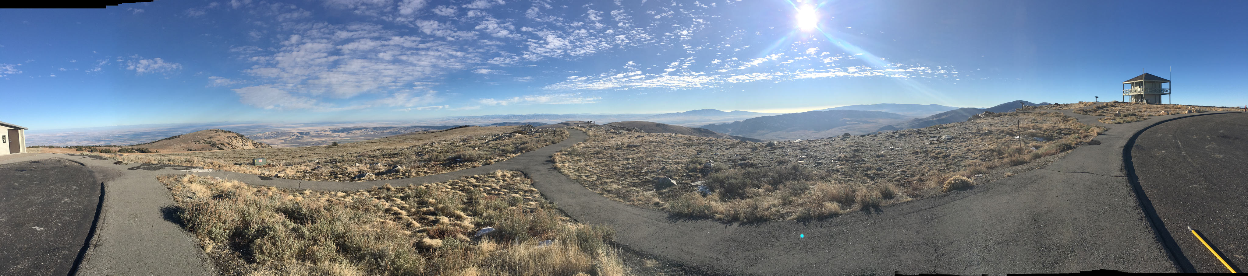
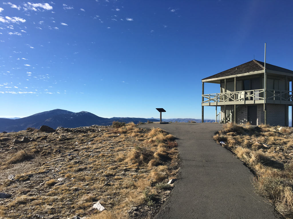
On November 11, 2016 I was making a blitz trip from Boise down to City of Rocks to activate it in the ARRL’s National Parks on the Air program. I had always wanted to run up to Mt. Harrison and had just enough time in my schedule to do so. I had read W7IMC’s short summary of his 2013 trip, as found on the SOTA Summit Summary. A paved drive up to a 6 pointer! In Idaho! Hard to believe and it is likely the only one of its kind. Sure enough that is what it is. From Exit 216 on I-84 you head south on 77 through Declo and Albion for about 17.6 miles until you find the turnoff on the right for Howell Canyon Road. This road leads up into the hills toward Pomerelle Mountain Resort, which you will reach in about 7 miles. Just as you reach the resort the road to Mt. Harrison takes a hard turn to the right and continues up hill. After another 4.3 miles or 11.3 after turning off 77 you will reach the summit – on a paved road. Note between the resort and the summit there are several sections of road that receive very little sun and will be the first to be snowy and icy and the last to clear. So be on the lookout. On the summit, there is a plenty of parking, a lookout, and a bathroom. The views are amazing. Though there are no trees or bushes there are plenty of posts along the walking paths that you can strap a mast to. When I was there I was the only person and the lookout was long ago closed for the season. So, I had no hassles using a nearby post to hold up my mast. AT&T cell phone signals were strong. And one of the few remaining working APRS digipeaters in Idaho is located on a nearby summit. So, APRS is very very strong. I operated only on 20 and 40 meters. W7IMC said he made some amazing 2M QSOs from there. If you are so equipped bring it along. Scott/K7ZO