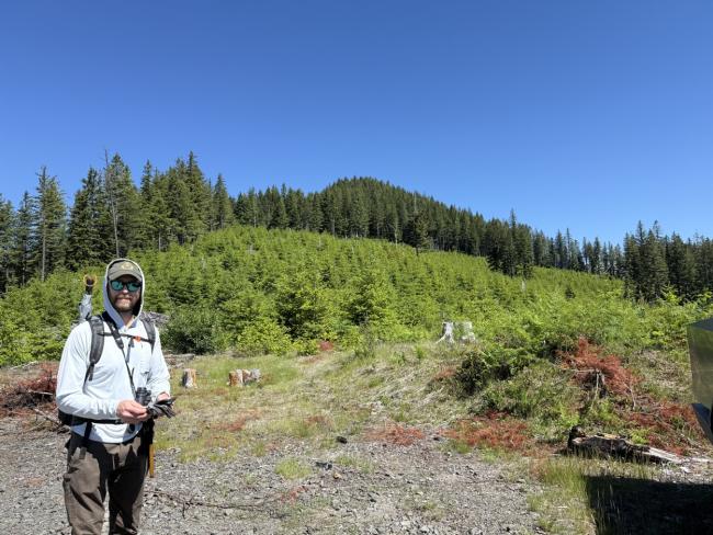
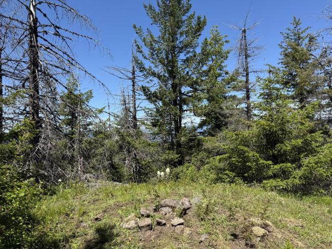
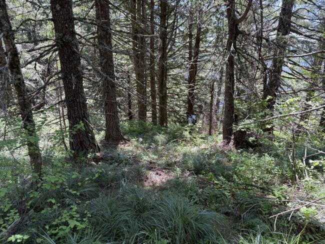
Moderate bushwhack with almost 500ft of gain over 0.6 miles. It might be light bushwhack if you pick the right path, as I found the way down easier through more open forest when one could see it. There is *almost* a view peaking through the trees at the top. Enough space for an activator on the true summit, but multiple could potentially spread out a bit off to the side still in the AZ.
Nice enough peak if you are into a bit of a bushwhack, but I’d say not much of a destination. There are other peaks in the area though so maybe worth it as a combo trip. (E.g. Huffman “back route” or peak 1980 are in the same set of logging roads)
To get to it the logging roads are in good shape. They seem to have been maintained recently; passable I imagine by any passenger vehicle. While it’s not marked on Gaia or Google, you can see it in satellite view or on the WA state road data https://data-wadnr.opendata.arcgis.com/datasets/bfdb0455c3b24aa6ae46c9502f814c25_5/explore?location=46.004305%2C-122.221563%2C12.21
Keep to the left when the road forks near the summit to be able to take a path up the ridge.
I activated this on Queens of the Mountain Weekend and had no trouble with 2M contacts, and that included some from the Portland Metro area.


