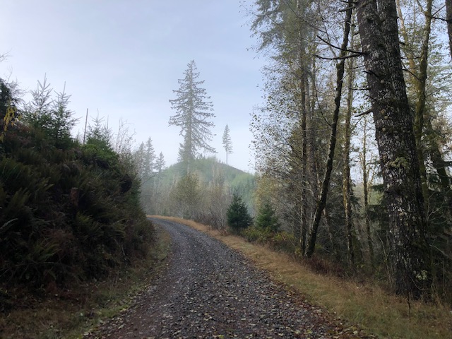
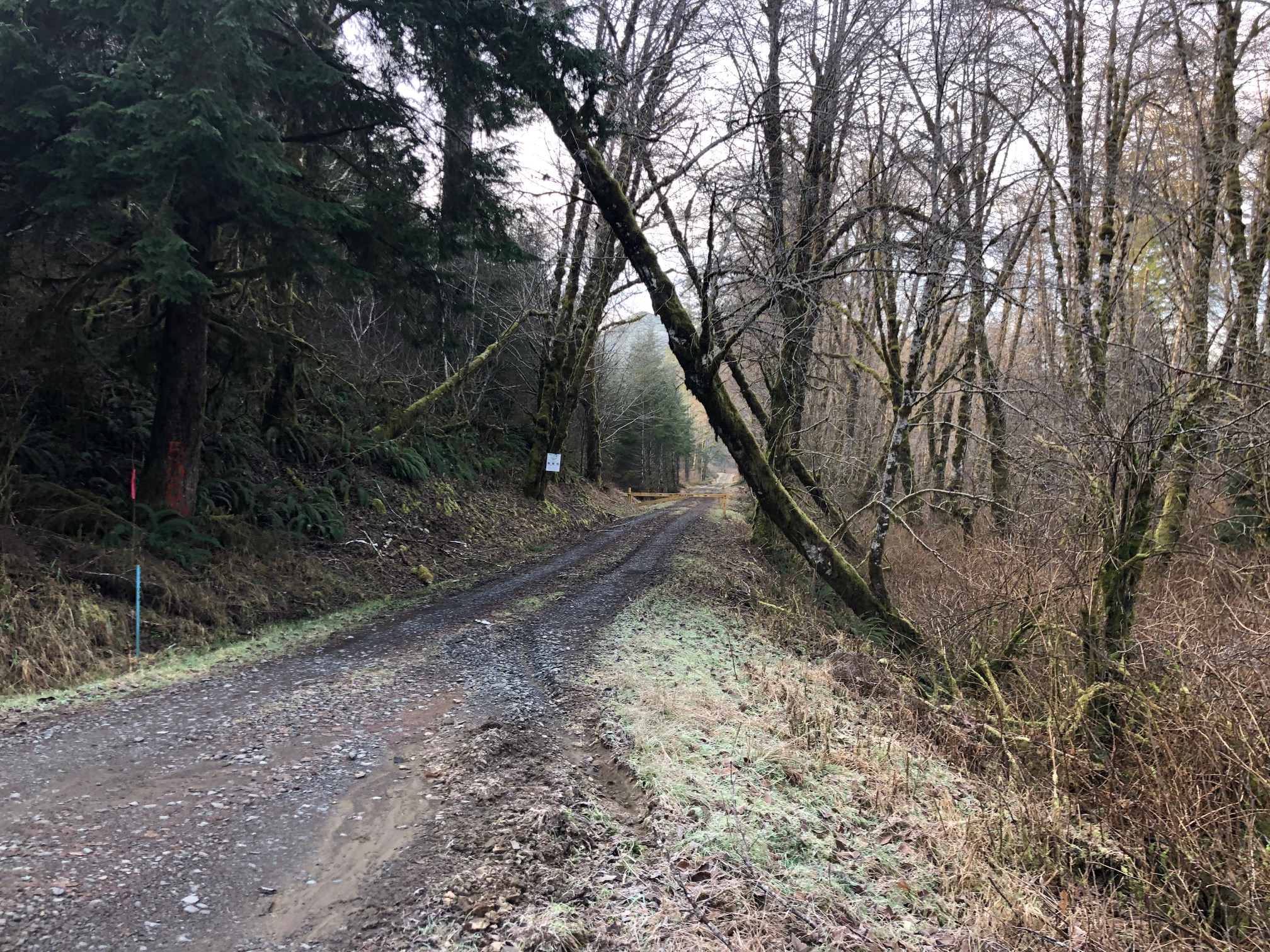
Chandler Mountain is near the old Valsetz town site and pond (https://en.wikipedia.org/wiki/Valsetz,_Oregon). This is the first summit I activated back in 2012. To get there, head to Falls City 10 miles South-West of Dallas. Once in Falls City, head through town crossing the bridge. Continue untill you reach Chamberlain Road this will turn in to Valsetz Road which will turn into gravel. There is a gate which is closed during fire season. From the gate follow the road for about 12 miles. If you have a GPS with navagation it will lead you all the way to the summit. At least the one I use on my phone. I use an app called Maps.me. It is avalible for Iphone and Android. It is an offline maps and navigagation. Ok so after the 12 miles you will come up where you can turn left which is road 1400. After this turn you stay right. Some maps may call this Rock Creek Road. Follow this for about 3 miles. The road will come off a hill and make a right tight turn. On this turn and on the left there is a gate. This is where you park and start your hike.
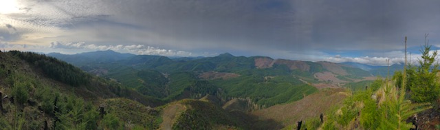
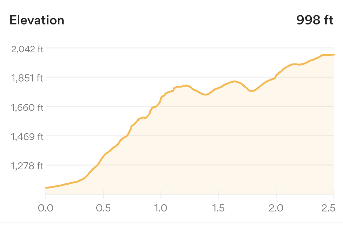
From here it is roughly 3 miles to the summit and near 1000ft elevation gain. most of the gain is in the first mile. The summit has a nice view of the area.