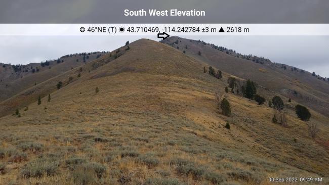
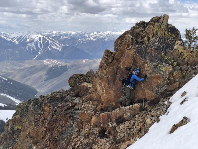
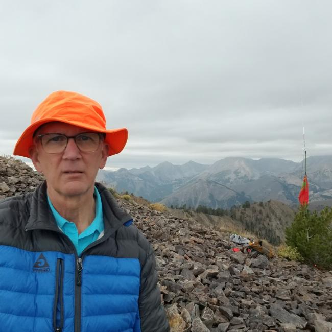
I accessed Johnstone Peak via trail 7121 just southeast of Ketchum. The trailhead begins at 6,528 feet and climbs for approximately 3-miles to a saddle at 8,628-feet (2,236-foot ascent – includes some undulating trail terrain). The trail is well maintained and a comfortable climb to the saddle where you leave the trail to begin the .80 mile / 1,337-foot ascent to the summit. This bushwhack climb is not for the faint of heart. It is very steep, riddled with loose scree and my ascent route required a shear rock wall traverse (big mistake). I was alone and did not take a picture, though I’ve attached a picture from Derek Percoski from 2019. Once on the summit you’ll be rewarded with great views of the Sun Valley area as well the big Pioneer Mountain Peaks. Apparently, there are many different ways to access the summit, all no more difficult than class 2 (hiking a steep incline, scrambling, maybe using your hands). The temperatures were in the low 50’s with partly cloudy skies. However, shortly after setting up the QTH, snow flurries began! Though not accumulating, the thought of snow on the descent did not excite me so I made 5 QSO’s (1-2m, 1 20m & 3 40m) and quickly got off the summit.
Here is the link to a fun video I found on youtube:
https://www.youtube.com/watch?v=kPk5Z-oFEJM&ab_channel=DanKrueger
Directions: From Hwy 75 head east on Elkhorn Road (43.66150, -114.35257). Continue for 1.94 miles and then turn right onto Lower Ranch Condo Drive (43.67130, -114.32022). Turn right again after .71 miles onto Parker Gulch Road (National Forest Service Development Road 267). Travel for 1.81 miles along a well graded dirt/gravel road where the road turns into a dirt and heavily rutted road for the next .40 miles. The drive is definitely Prius friendly, even the last .40 miles can be carefully navigated in a low clearance vehicle (I did it in my Mazda 3). There is a circle drive at the trailhead where I parked. There is also a small pull out shortly before the circle drive that could be used for overflow parking.


