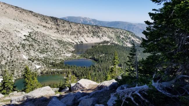
I had hiked into the Independence Lakes area a few days earlier and was blown away with the beauty of the ancient glacier bowl where the lakes are located. From the lakes you can see Cache Peak to the south dominating the skyline, thus my interest was piqued. From summitost.org:
This is a dominant peak from just about every direction since it is the highest peak in the Albion Mountain range. Cache Peak has the distinction of being the highest peak in Idaho south of the Snake River and also is the highest point in Cassia County. Located near the famous City of Rocks National Reserve, a rock-climbing mecca, Cache Peak offers a spectacular viewpoint down on this area. Cache Peak is listed at the number six spot on the list of Idaho's Fifty finest Peaks.
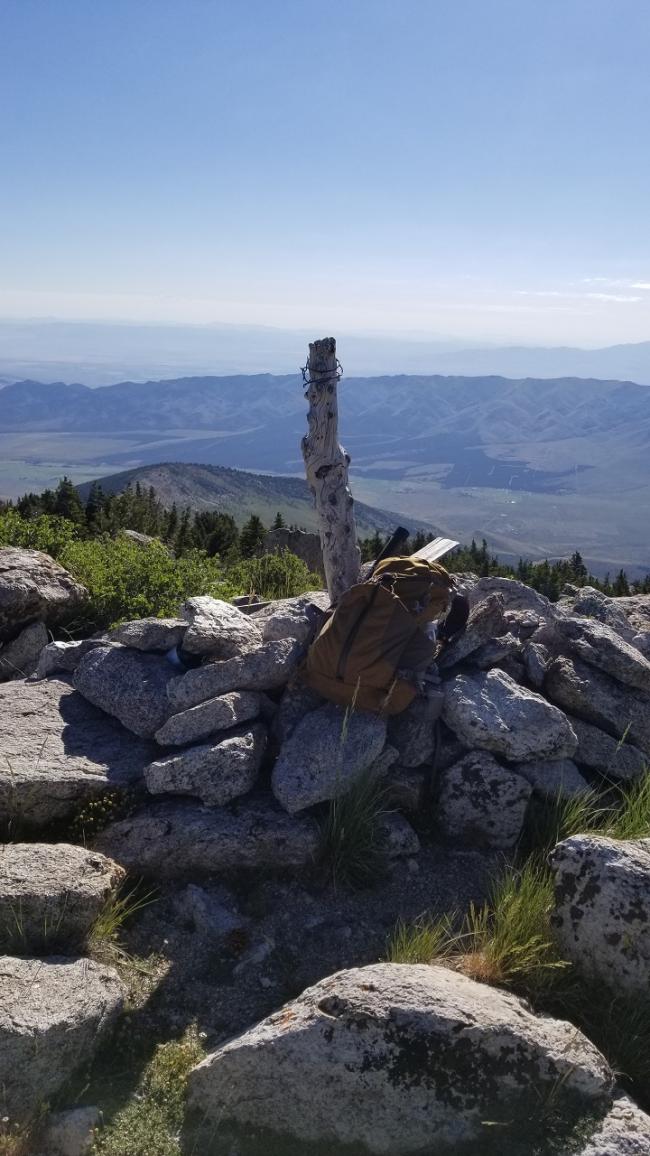
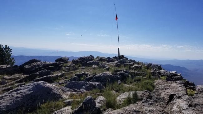
You can access the peak from the Independence Lakes area, though this route adds an additional difficult and steep 1.5 miles to an already 4.5 moderate hike (12-mile round trip). I opted to access the peak from the west side (see trailhead directions below). This trail is also called the Independence Lakes Trail, but you leave this trail (42.19035, -113.67306) after 1.75 miles (1,076 feet gain) and bushwack for approximately 1 mile (730 feet gain) to the summit. Your bushwhack skill may result in a shorter route, but the elevation gain will be similar! Though not a technical ascent, the bushwack is difficult and steep with large boulder rock gardens in places. I couldn’t find a USGS marker on the summit, but there are some old fence boards with writing and a logbook that had been placed there only this month. The views are outstanding, especially down into the City of Rocks National Reserve. There is lots of room on the summit. I attached my antenna mast to an old log that had been placed vertically into a pile of rocks.
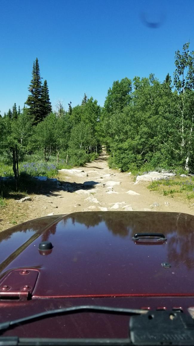
Directions: Follow directions to The City of Rocks National Preserve. Travel north on City of Rocks Road which becomes Emery Canyon Road. Turn right onto Logger Spring Road (42.08708, -113.74355). Continue on Logger Spring Road for 7.64 miles where you’ll encounter a cattle guard (42.17772, -113.73028). The road is “mostly” Prius friendly to this point, though there are a few ruts and rocks to maneuver around. From here to the trailhead a high clearance vehicle is required, but not a 4x4. There are a few small rock crawling obstacles to tackle, but with careful driving it is passable. Drive from the cattle guard for another 2.1 miles and you’ll arrive at the trailhead with plenty of turning space and parking.


