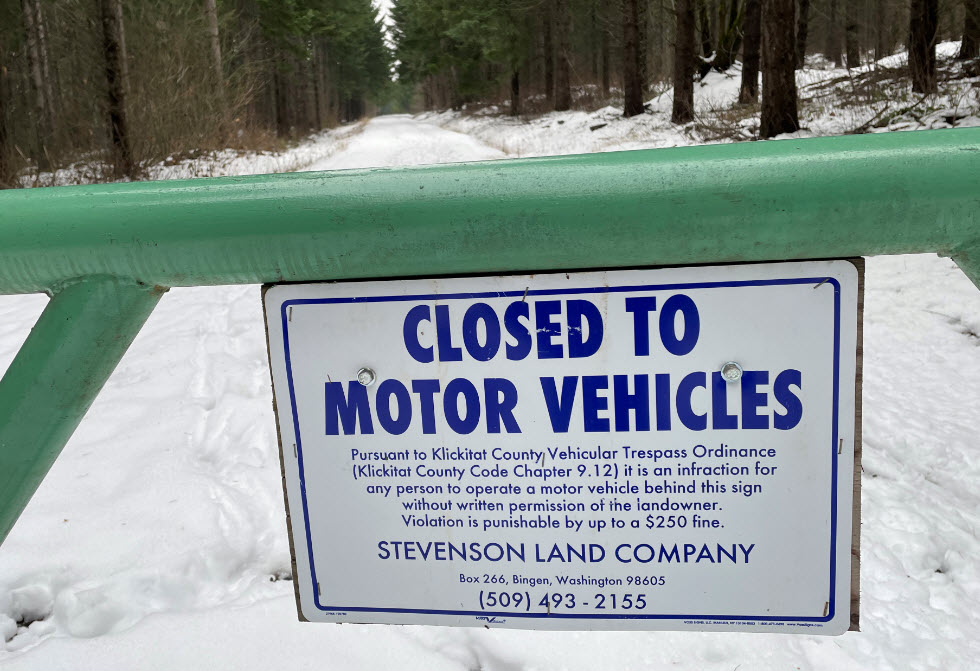
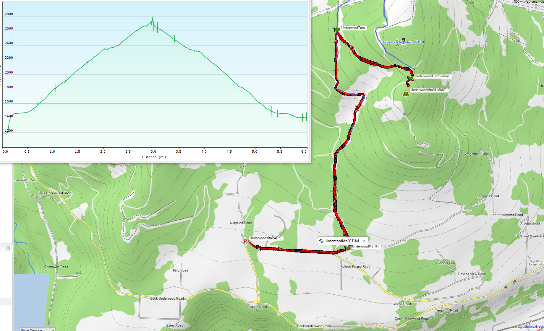
Underwood Mountain is a 2 pt summit Northwest of Underwood, WA across the river Northwest from Hood River Oregon. The start point is about 4.5 miles off of highway 14. It is an easy 3 mile hike to the summit with 1400 ft elevation gain on forest roads closed to motor vehicles. There is a short 250 foot doable bushwack to the summit. It would be a very feasible mountain bike activation. I hiked in late Dec on 3-6 inches of snow with microspikes, this would be a pleasant snow shoe activation and CC ski tracks were on the roads as well.
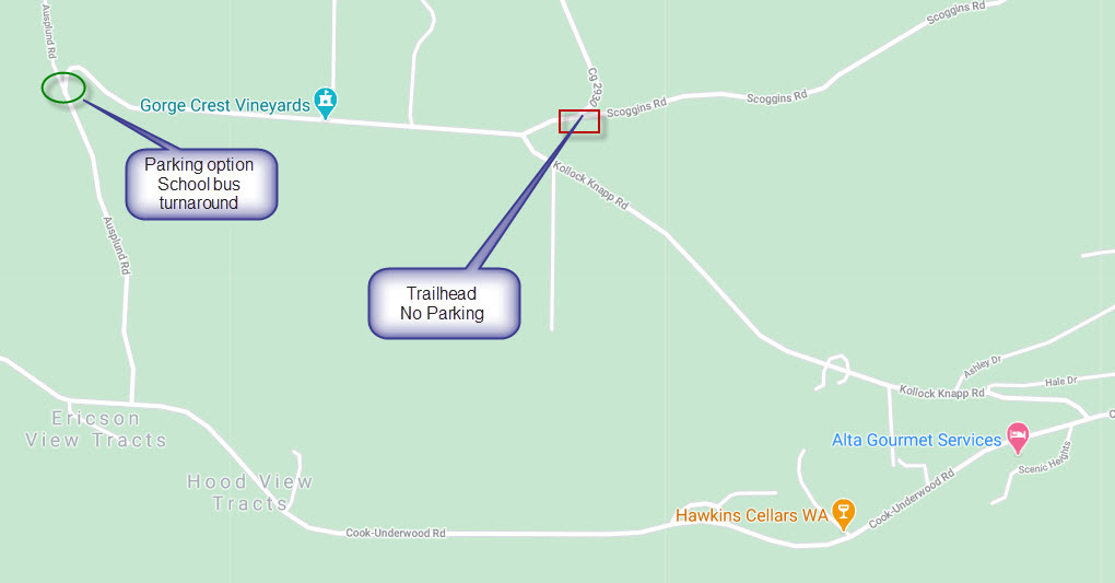
Getting there: from Portland, take I84 to Hood River Bridge(toll), then left on Hwy 14 to Cook-Underwood Road (first right after you cross over white salmon river when heading west). Proceed 3.6 miles and turn right again on Kollock Knapp road. The TH is near intersection of Scroggins and Kollock Knapp.
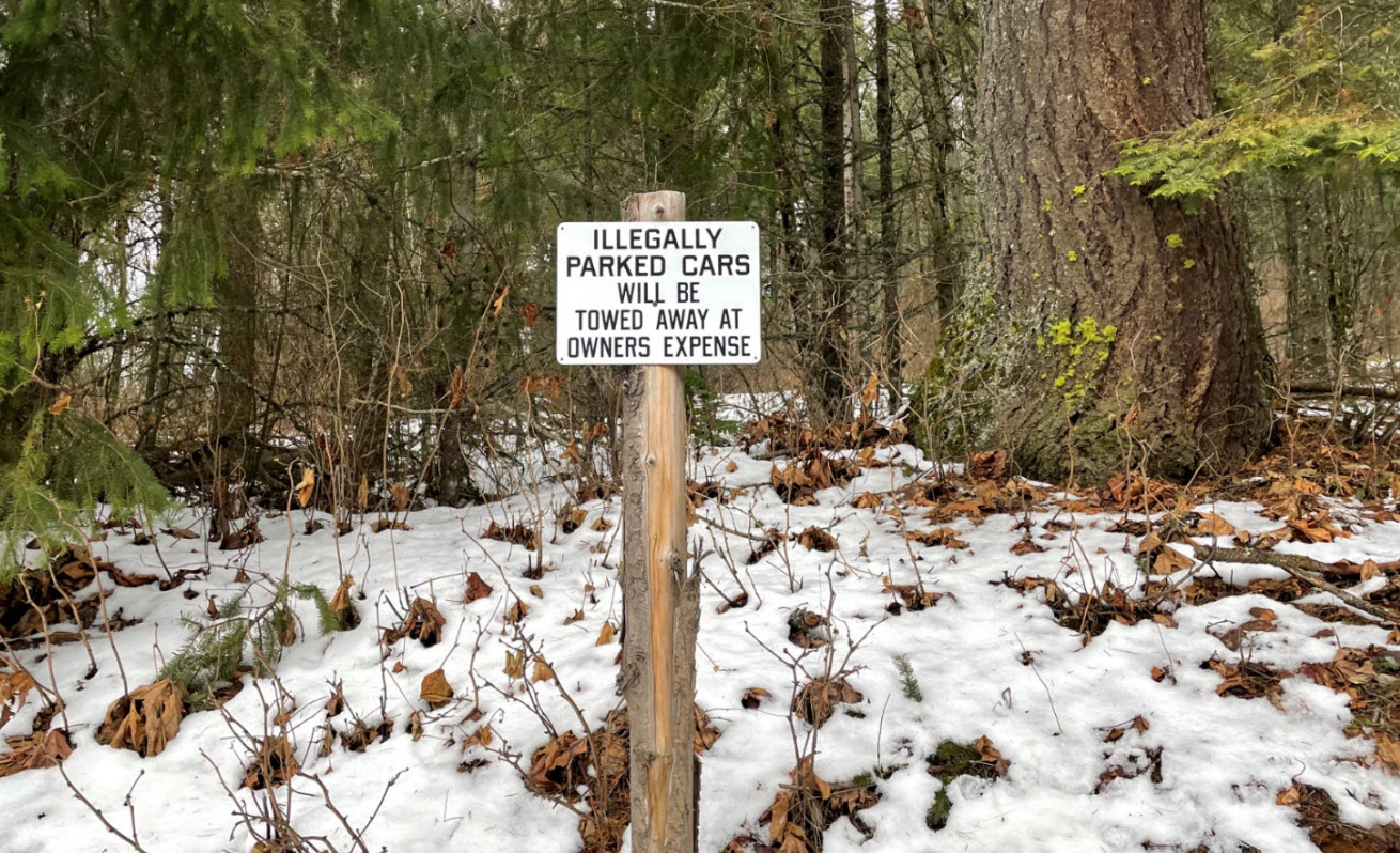
It appears the neighbors are fed up with people parking at the trail/road start point, with “no parking” signage very visible. I parked a little over ¼ mile away at a school bus turnaround at the intersection of Ausplund Road and Kollock Knapp Road (see image) and walked to start point. There also looked to be parking along the south side of the road across from Gorge Crest Vineyards.
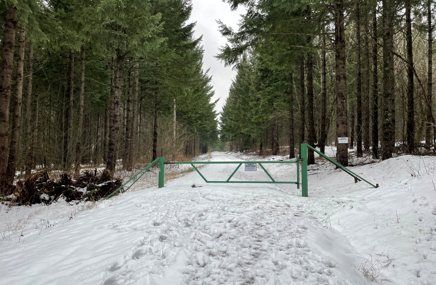
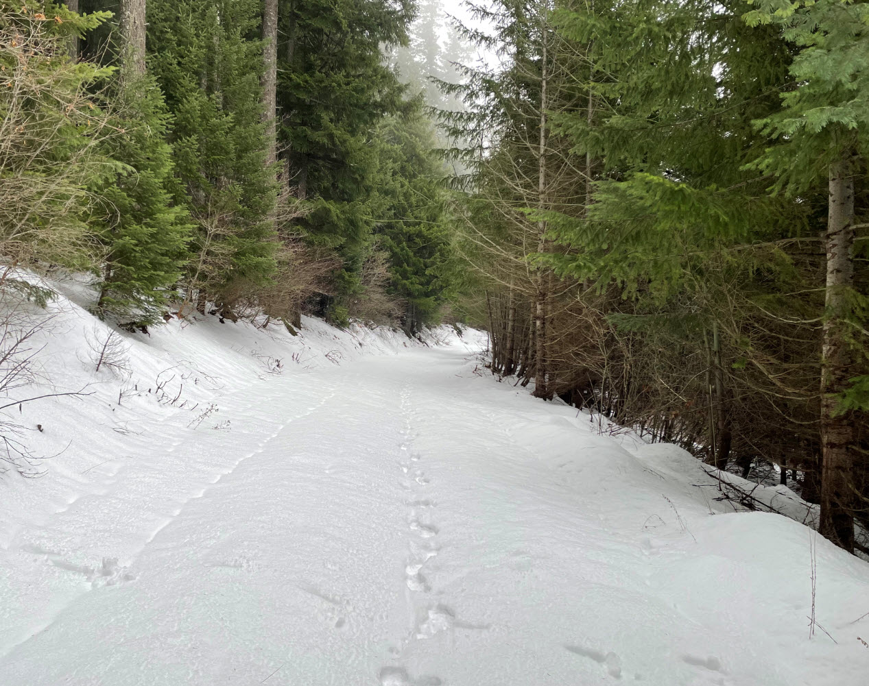
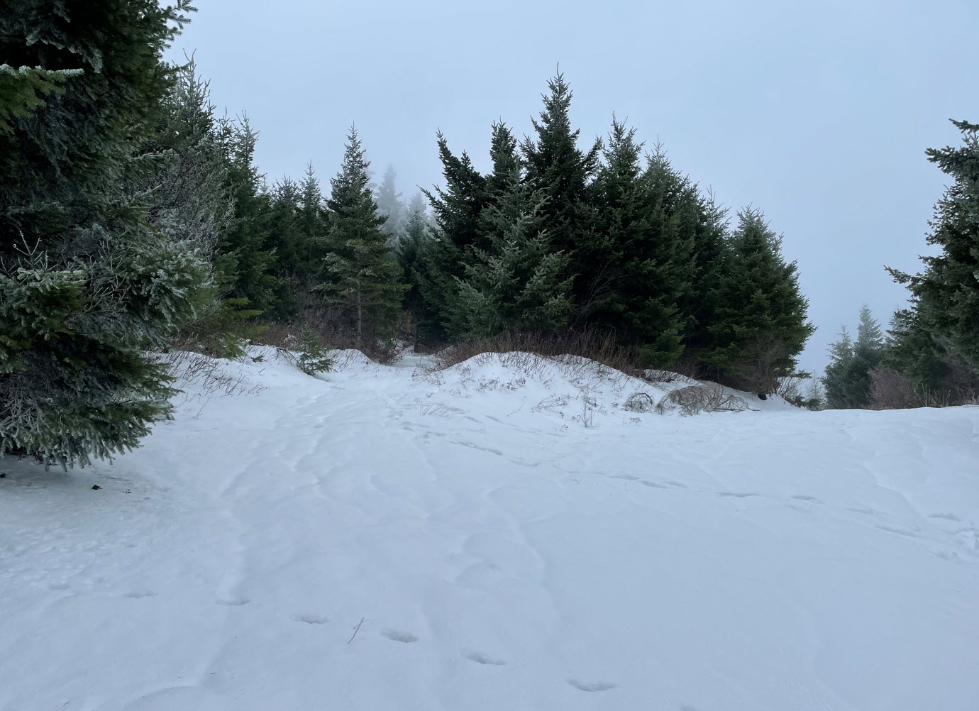
There is a gate at start of road at N45.73207° W121.58779°. Stay on this road until switchback turn right at N45.75256° W121.58919° for road to summit, and veer left at road at N45.74727° W121.58052° near the top(see pic). SOTA summit is N45.74590° W121.58110°. You will pass through both forest and some clear cut areas.
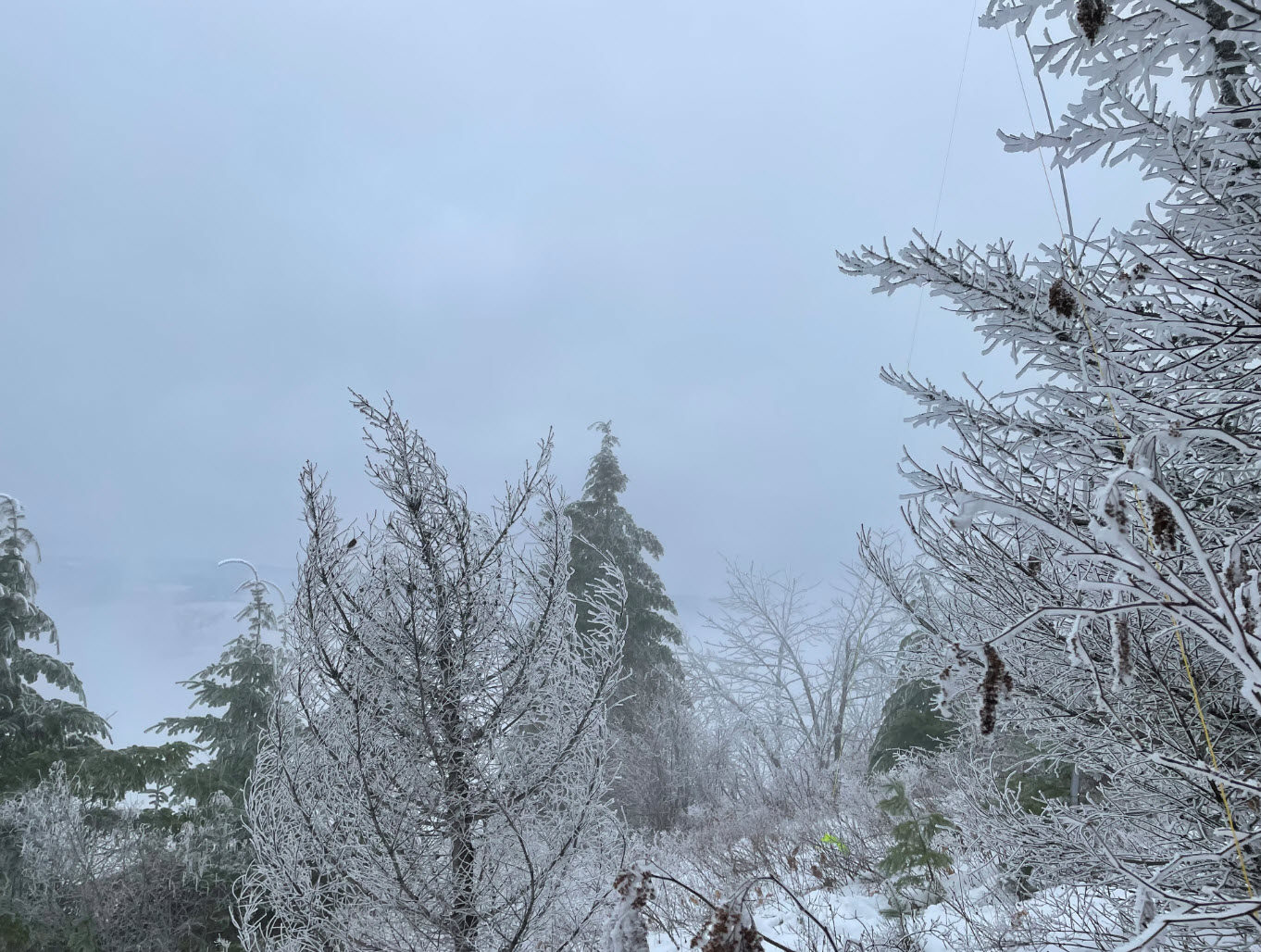
My topo map showed the summit in a different location than the SOTA co-ordinates so make sure you attain the correct summit. A forest road passes about 250 feet from the summit. I encountered freezing fog at the top and never got to see the view, so the next activator will have to post summit views, I think there would be a good view of the Gorge.
I had ATT LTE service at the summit and spotty coverage during the hike up. I did not attempt APRS or 2M activation, I stayed on HF for this one.