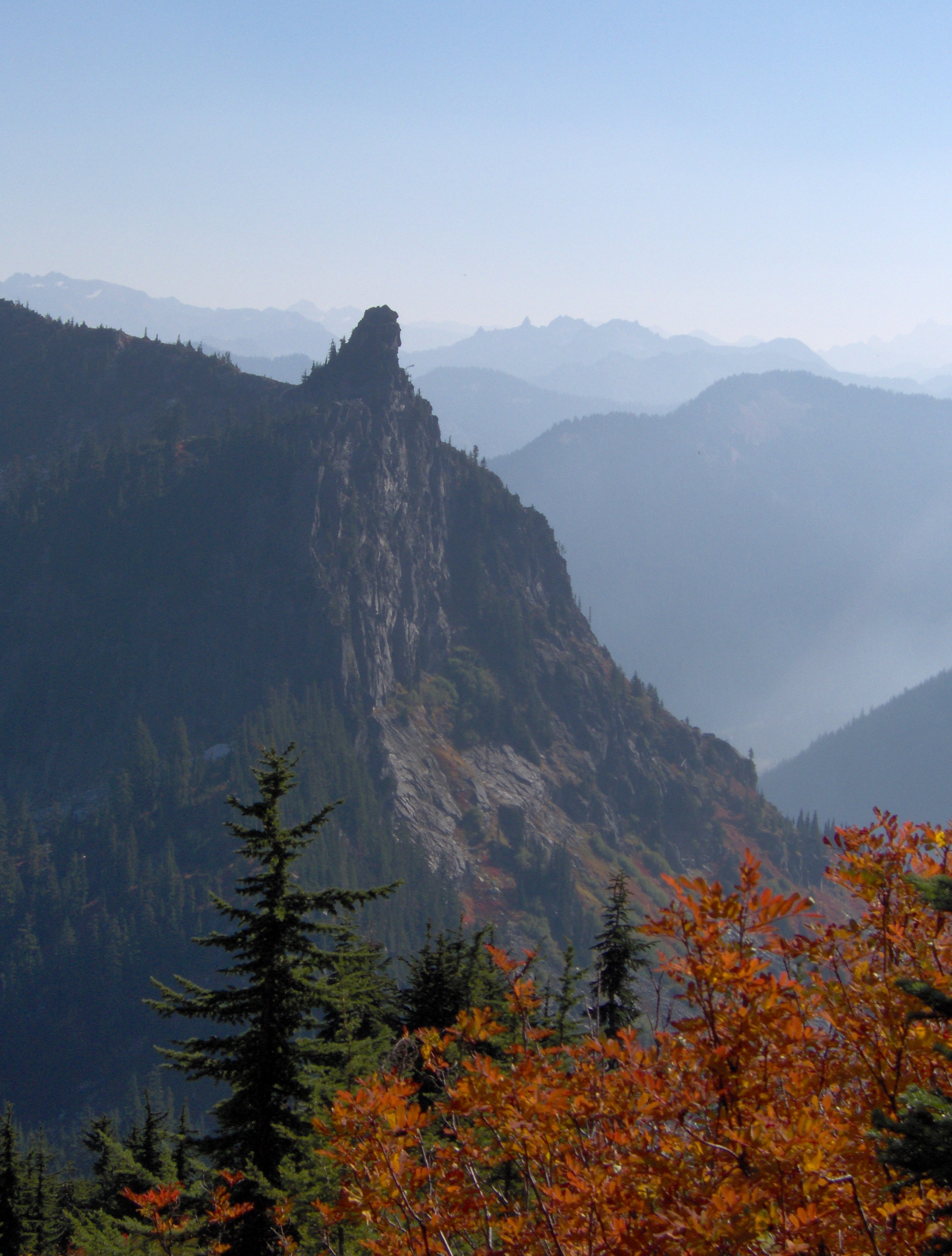
When I heard that the long-standing dry and sunny weather we'd been having for weeks was about to end on Friday, I cleared a day off work on Thursday and determined to take another stab at Mt McCausland. The drive to the trailhead is pretty straightforward. From the west side of the state, head up Hwy 2, to several miles on the east side of Steven's Pass, just after the highway divides, there's a left turn marked "Smithbrook Rd" Cross the westbound lanes carefully (yes there is a road over there in the gap in the guardrails!) Smithbrook Rd is a bit on the rough side, but thankfully it's only 3 miles to the trailhead.
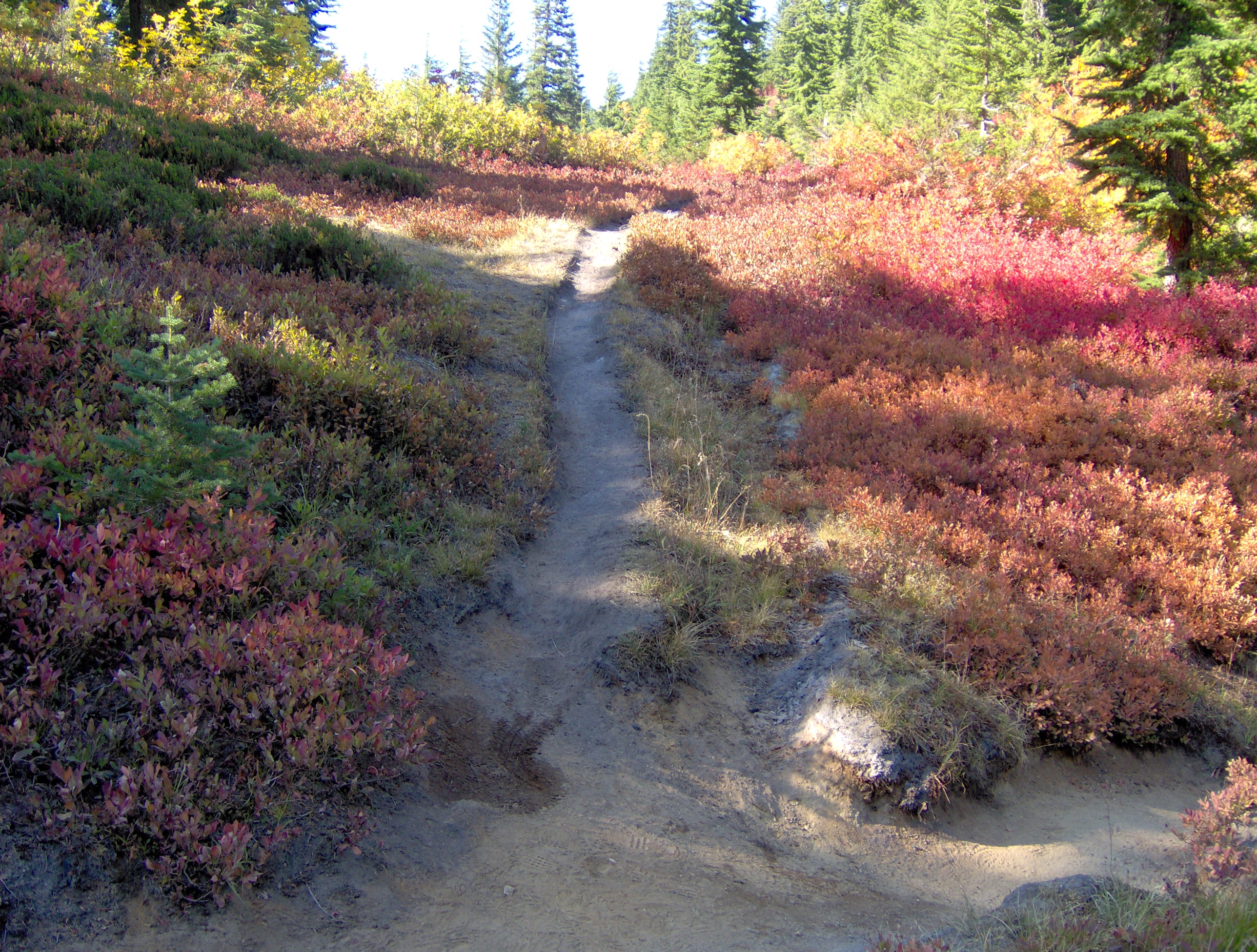
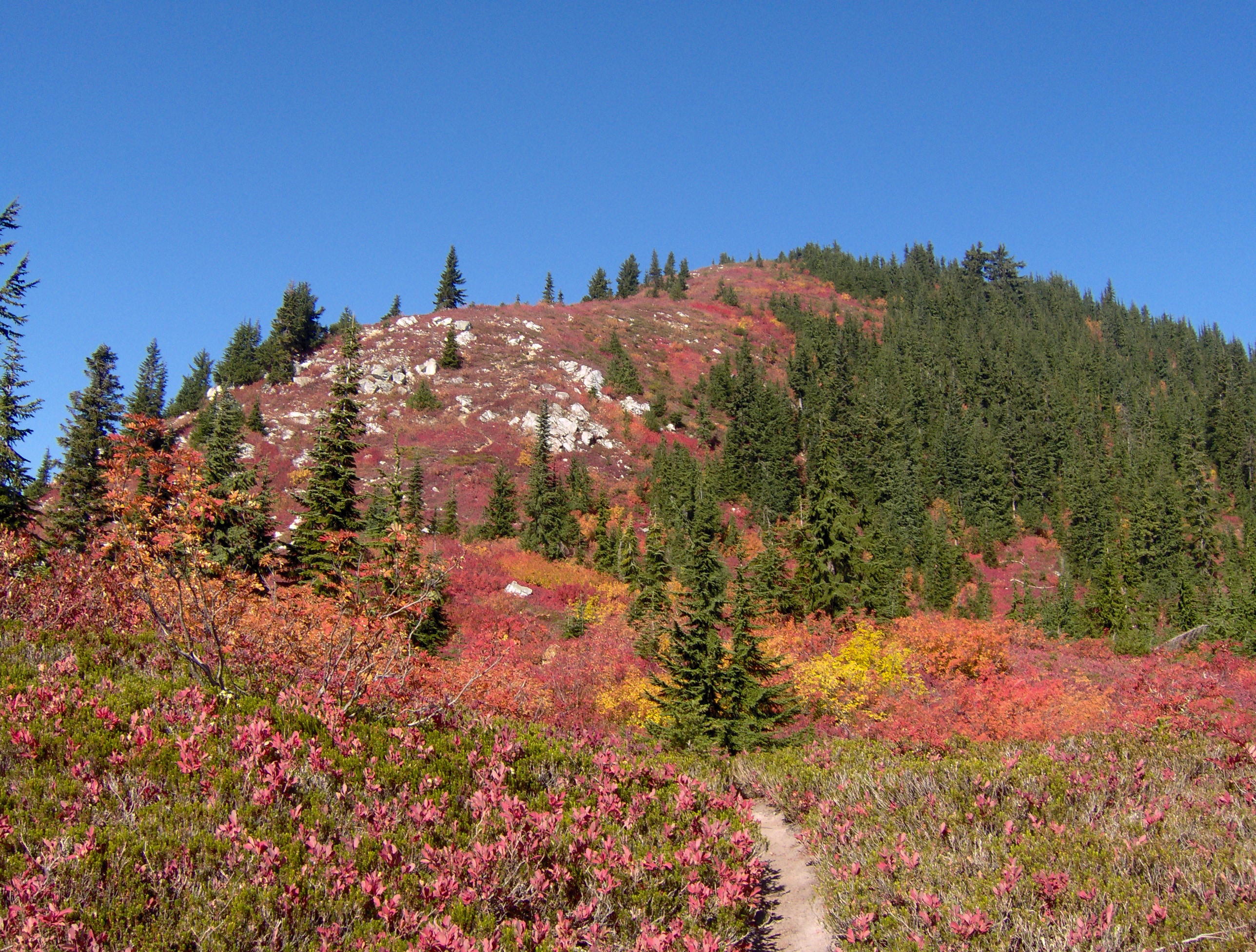
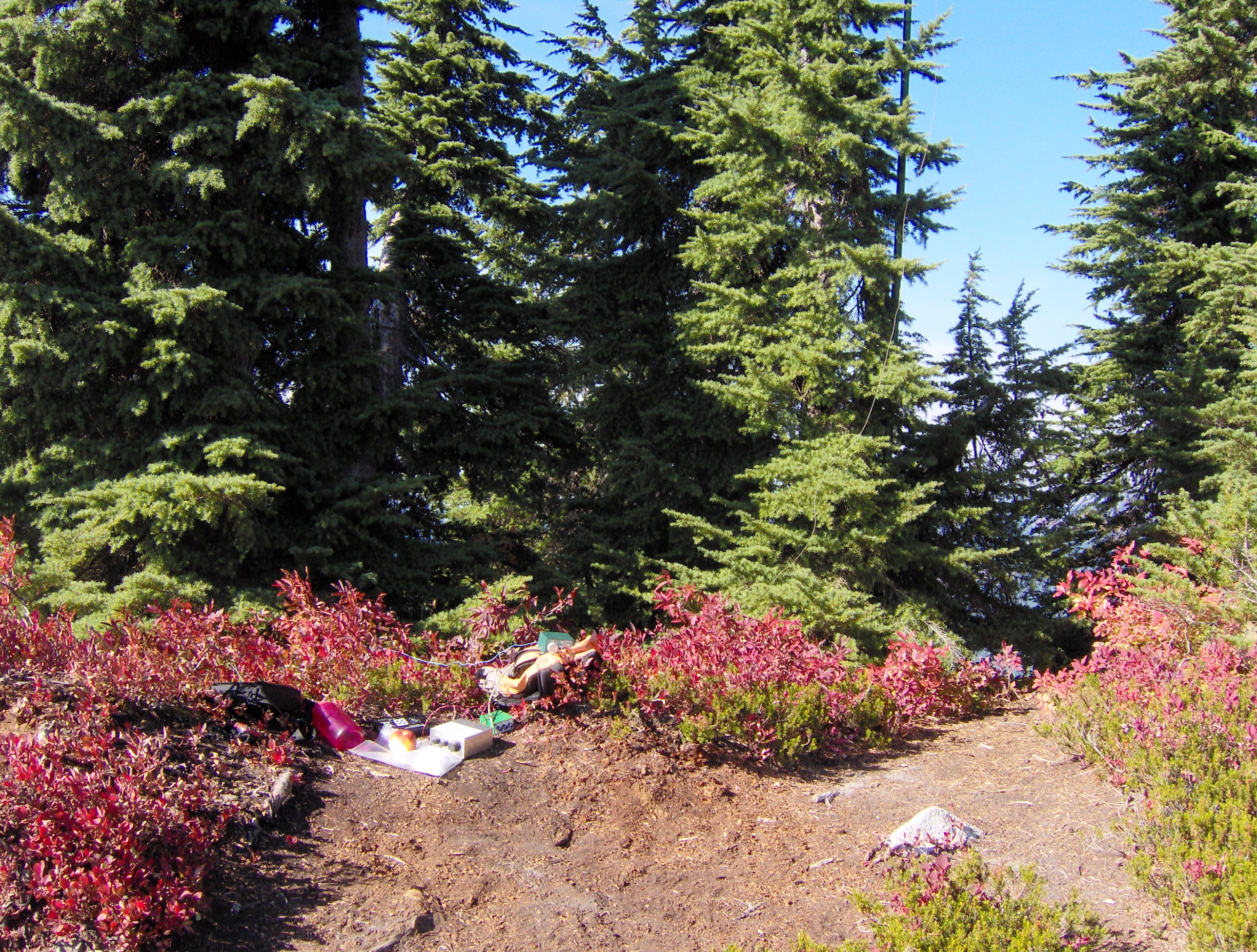
Arriving at the parking lot, I was immediately struck by the smell of burning wood. Still a lot of smoke around from all the fires. No pass is required for parking here. The Smithbrook trail climbs a steep slope via several long switch backs. As the crow flies its only 1/2 mile to the junction with the PCT, but the switchbacks make it more like a mile. After reaching the PCT at Jack's pass, I headed south on a much more gradual grade, and covered the 1.5 miles to the Mt McCausland trailhead pretty quickly. The trail to the peak is unmarked, but quite obvious, being just before the PCT drops down to Lake Valhalla. This boot trail is narrow and at times quite steep, but managable if you take your time. It took me about 45 minutes to go from the PCT to the summit. Total time from car to peak, about 2 hours. I actually beat my scheduled activation time by 45 mins or so, so I took the time to eat lunch and put up the Jacklite, which conveniently fastened to a tree very close to the actual summit.
I attempted a self spot via SMS-NA, cell reception was very spotty but by positioning myself and the cellphone just right, I got a bar or two on the phone. I sent the message, but I think I put the phone back in my pocket too fast, because later, when I went to spot my 40m activity, the phone informed me that the first message didn't go through. Interestingly, on my first spot, I got T-mobile as a provider, and on the second attempt, AT&T (T-mobile's "service partner").
Started CQ'ing at ~19:15Z, and within a couple calls got my first response from N4MJ in NC. However, I had a senior moment and transposed the digits in the summit number, sending him SN-047 instead of SN-074. On the next QSO, KU6J straightened me out, and then I wrote it down! I had intended to spend only about 30-45 mins on 20m before going to 40, but the QSO's kept coming, so I stayed a bit longer on 20. Highlight was working DK1AX for my first "off-continent" QSO as an activator. Thanks Klaus!
Later, while working WK6L, I heard a strange sound from above, and looked up to see 2 red-tailed hawks spiraling down with their talons engaged, headed straight towards me. At the last minute they separated and soared down the slope!
When I finally QSY'ed to 40m, I was happy to work 2 locals (OR and ID), both with good reports (579), letting me know that the "5W mod" on my SMK-1 was doing the job. I had other rig issues with the NC-20 however, the keyer quit working a couple times, and I had to fiddle with the rig, (which probably caused me to QSY a bit), and I got several reports of chirp on 20, which I'd never had before. The keyer turned out to have a bad solder joint, but I'm still trying to figure out the chirp.
All-in-all a very successful activation for me, with 21 QSO's in the bag, fantastic weather (in spite of the smoke) and a great way to end the "summer"!