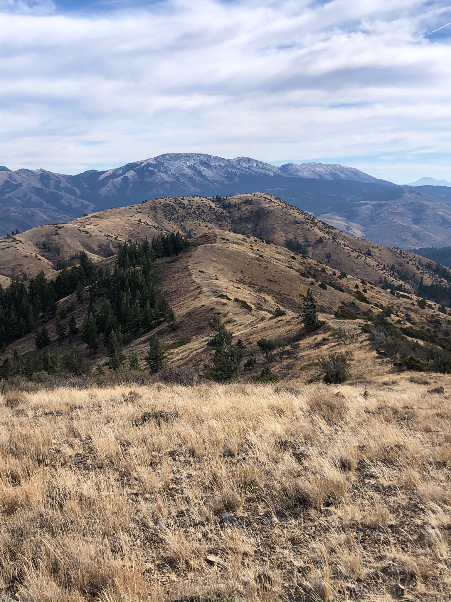
This summit is located South of Pocatello Idaho. Take Bannock Highway through town and turn at Gibson Jack Rd. The Trailhead is approx 3 miles on paved road. Once at the Gibson Jack TH take either trail 7015 which is a steep, exposed motorized trail...I would only take a dirt bike or 4 wheeler due to the condition of the trail or you can take single track non-motorized trail number 7014 which is longer but less exposed. I generally choose to hike the motorized trail due to time constraints. Generally it takes 90 minutes from the TH going up, where as it can take over 2 hrs on the single track. If you take the double track, when you get to the top of the ridgeline approx. 6 miles from TH you will see a Jack fence at the top, look North and you can see the Cairn marking the top of the summit. It is a easy bushwhack of a 1/4 of a mile to the summit. Winds can be overwhelming so pick a calm day.
This is a 10-12 mile round trip so take enough water. This summit is all public land on the Caribou National Forest.