The morning after my arrival in Oregon, I was awake 2 hrs before dawn despite the extensive sampling of Oregon beer I’d engaged the night before. After verifying there was no way I was getting more sleep, I crept out of the house without breakfast or coffee to head toward the closest reference on my list: Bolt Mountain, a never-activated 1pt summit a few miles south. I posted a quick alert, commandeered the family truck and headed out.
My notes were spare, and before I arrived at the trailhead I actually didn’t know how long the hike was going to be. The sign at the trailhead indicated “3mi” and I confirmed this was 3mi each way. My family had plans for me at 9am, and I knew I’d be cutting it close at best. I told myself I’d jog down from the summit and that nobody would miss me too much if I was a bit late.
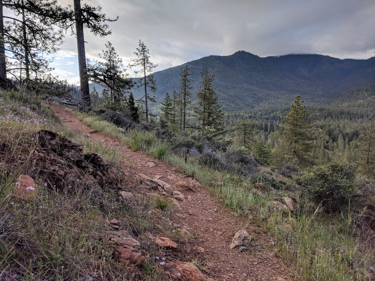
There is a trail to the top of Bolt Mountain from the Fish Hatchery County Park trailhead, though it’s not always quite so apparent. The key is to follow signs for the “multi-use trail”, though there is one tricky turn at 42.357706, -123.412432. I missed it and added a mile or so to the hike.
Back on track, the trail switchbacked up quickly ascending the obvious summit. I was pretty quickly missing the breakfast and coffee I’d skipped. The sunshine instead of the predicted rain more than made up for it. About a mile before the summit, my phone dinged, which it normally doesn’t do on hikes (mostly because I shut if off). I was expecting an email from my family asking where I was, but it turned out to be Etienne Scott, association manager, welcoming me to Oregon and wishing me luck on the first activation of Bolt Mountain.
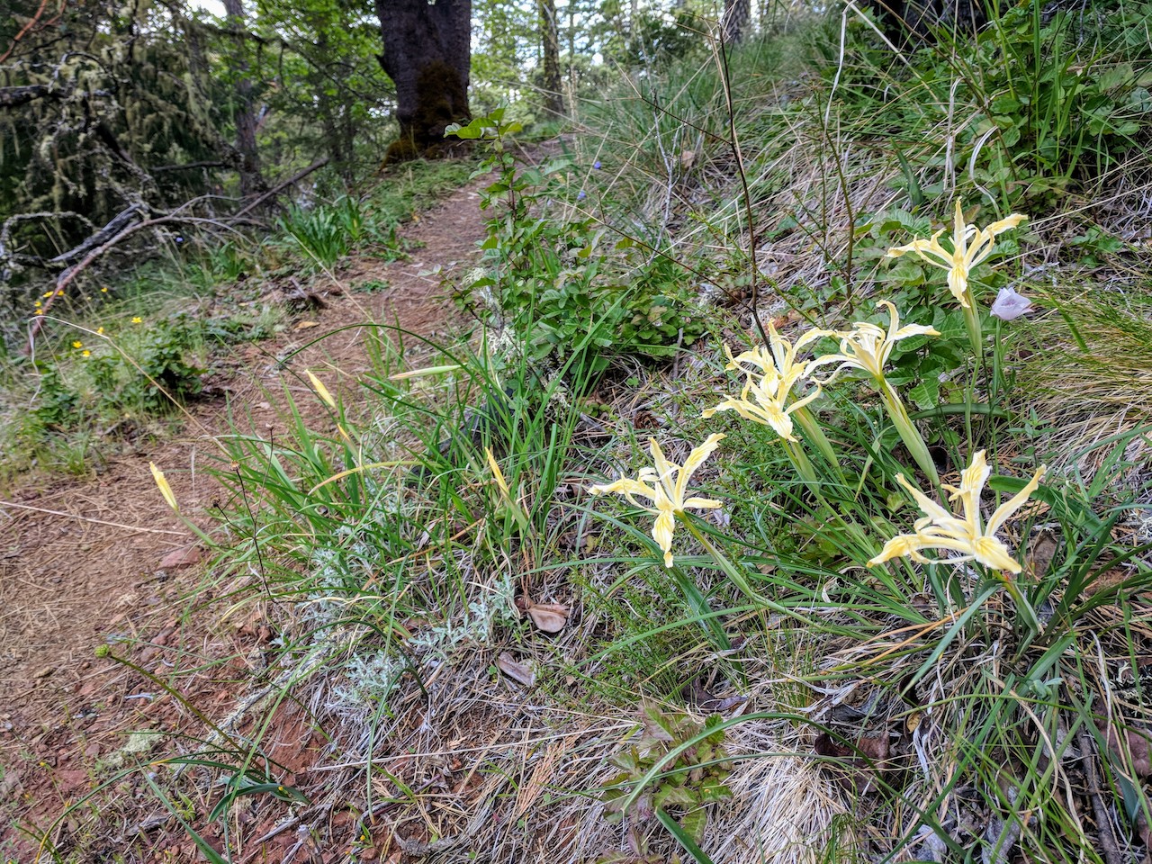
I needed that boost as minutes later, I caught a glimpse of what I suspect was a mountain lion slipping into understory ahead of me, uphill and just feet ahead. I have encountered bears in the wild on many occasions, but I have somehow never seen a wild cat. I shouted, banged rocks, and generally tried to not look like cat food. In between, the mountain was silent.
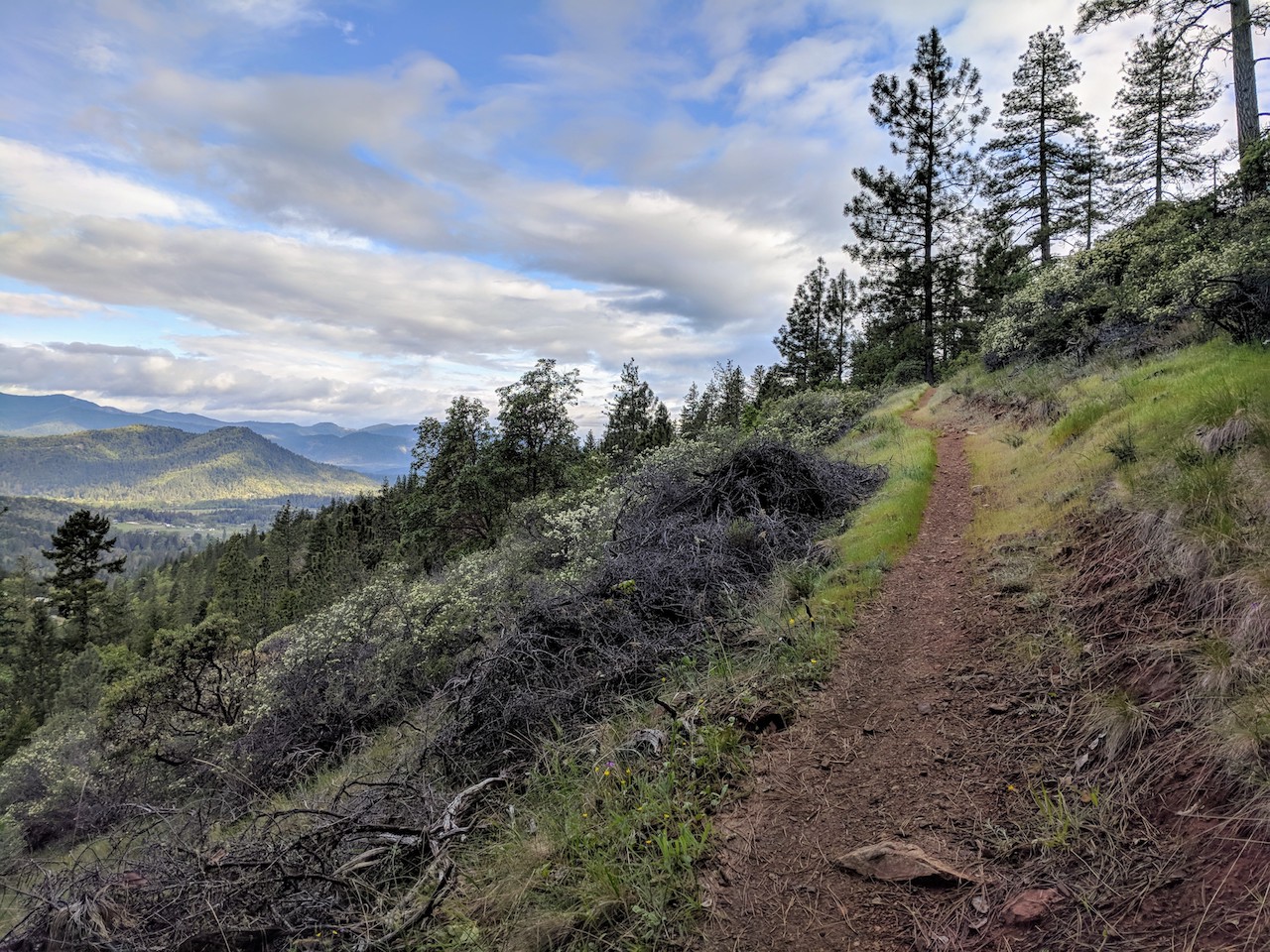
I debated turning around for a moment or two. I figured that if the cat was going to eat me, it would have done so by that point, and I carried on. Looking at a map, I could see the trail wound well around the summit which was now looming tantalizingly near, just a few hundred yards straight uphill to my right. Summits rarely loom in any manner in the east, so when the first game trail appeared heading summit-way, I took it.
It’s not ecologically sound, but heading off-trail 200 yards directly at an exposed, treeless summit is viscerally satisfying. The view from the top was stunning. Comparing eastern and western mountains is beyond the scope of this report, but I will say that I felt like I was getting my money’s worth of beauty for a 1pt summit.
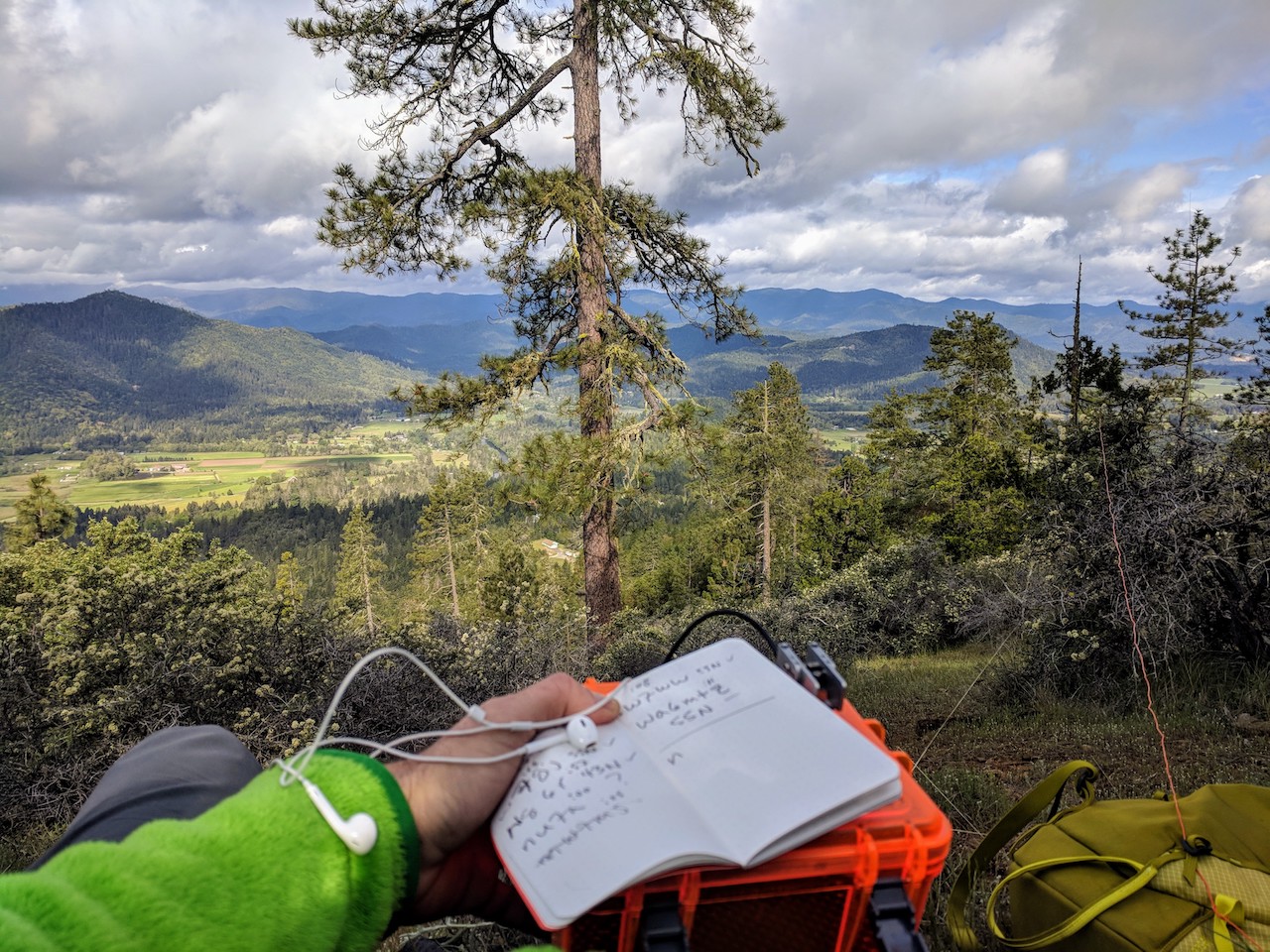
It was probably because I was so struck with the mountains that I didn’t get too upset when I realized I’d forgotten the coax cable which I needed to connect my 9:1 matchbox to the radio. I cut the wire off the matchbox with a rock and connected it to the radio directly. Even without a counterpoise the KX2 tuned 40m to usable SWR. Neither 20m nor 30m would tune, but I only had time for one band anyway, so it worked out.
I had cell service so I spotted myself and got my first contact pretty quickly. I logged five more over the next 15 minutes, and then it was time to head down. I did end up jogging most of the way down, testing my pack and kit for running for the first time. I was way late for the family event, but the fine hike was well worth it.
Exceptionally quiet RFI-wise, and I had good LTE data coverage on Verizon.