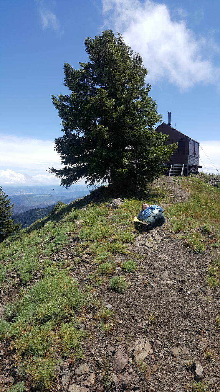
Oregon Butte is the highest peak in the Blue Mountain Range of southeast Washington State. There is a lookout up there which should be staffed by early July. Beautiful spot, great views, and ample room to set up radio gear just about anywhere along the gently sloped ridge. I was there in late June and took advantage of the handy metal flagpole next to the lookout building to hoist up my antenna. Probably best to ask permission to do that when somebody official is around.
The path to Oregon Butte begins at the TeePee trailhead on the Misery Mountain Trail #3113. Get there by starting in the nearby town of Dayton, WA. Here's a link to a summitpost review with some good pictures and accurate directions: https://www.summitpost.org/oregon-butte-wa/153260
It is a long drive to the trailhead, but the roads were in good shape for our trip. The weather changes quickly - we had fog, sun, rain and hiked out in hail. There is logging going on in the area so watch out for the trucks.
I don't know if there is any data or cellular service from the peak - post an alert before leaving town just to be safe.