Aug 21, 2012
Overview:
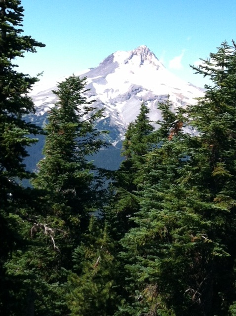
Spectacular views of Mt Hood to the west and eastern Oregon from this north-south ridge. On clear days, Rainier, Adams, St Helens and the Oregon Cascade peaks are also visible.
Getting There
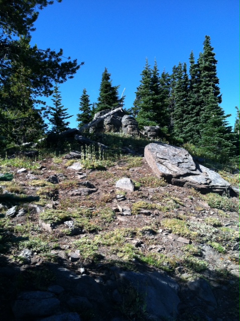
From Portland/Gresham take Hwy 26 east to junction with Hwy 35 towards Hood River and Mt Hood Meadows Ski Area. Right turn into the parking lot at Bennett Pass #3550. Go thru the parking lot and follow 2wd gravel road. After several miles, road becomes a one-way with turnouts and would require a higher clearance vehicle (SUV for example). Go several more miles and take sharp left turn towards Grasshopper Rd. Trail #685 begins at this intersection. The trail is a well-used mountain bike trail and is located at the "sharp vee" of the intersection. Hike north for 1.5 miles or take FS Rd 3550 past Grasshopper Rd intersection. Take your GPS device to locate the actual summit which has a large rock "hill". I parked at a vacant campsite (45.3102° -121.5718°) then set my GPS for the Summit Lat/Longs and bushwacked up the ridge thru open forest but steep in some places. Bushwack was about 3/8 of a mile. You can also take the trail exiting west at the back of this vacant campsite to a clearing just past the summit and then walk up the small hill to the trig point.
Red Tape
No Northwest Forest Parking permits required. Check the sign at the Bennett Pass parking lot for fire restrictions. Check with the ZigZag Forest Service for more information on specific restrictions.
When To Climb
June to October should be snow free. Winter and Spring ascents will require proper clothing as well as skis or snowshoes for the approach. Dispersed camping spots are in the area. In the winter, this area is heavily used by snow mobiles. Possible cross-country ski access on these roads.
Mountain Conditions
In the winter, Mt Hood Meadows Ski Area has a road condition report. For current conditions, call Barlow Ranger District at (541) 467-2291.
GPX Data Info:
I use Motion X on my cellphone to record GPS tracks. See the Motion X information at http://tinyurl.com/8mc639t You can download the .gpx file for use in your GPS device.
Maps:
National Geographic Map #820 Mount Hood (great map of Mt Hood area) which includes trails and Forest Service Roads.