Directly across Hwy 20 from Iron Mountain at Tombstone pass is peak 5436, CM-127. Its really a part of Browser Ridge extending towards the northwest from the other Browser Ridge peak CM-056.
Access to CM-127 is via NF-15 which turns off US Hwy 20 about 1000m west of Tombstone pass. Take NF-15 to the trailhead for trail 3409 which is located right where NF-080 splits off.
It was supposed to be a nice day in the valley, and I heard it was. On this day however, the Cascades had a different idea. At the trail head, the rain was falling lightly but steadily. I figured it would clear shortly to be a beautiful day as was forecast. Oh well, it pays to be flexible.
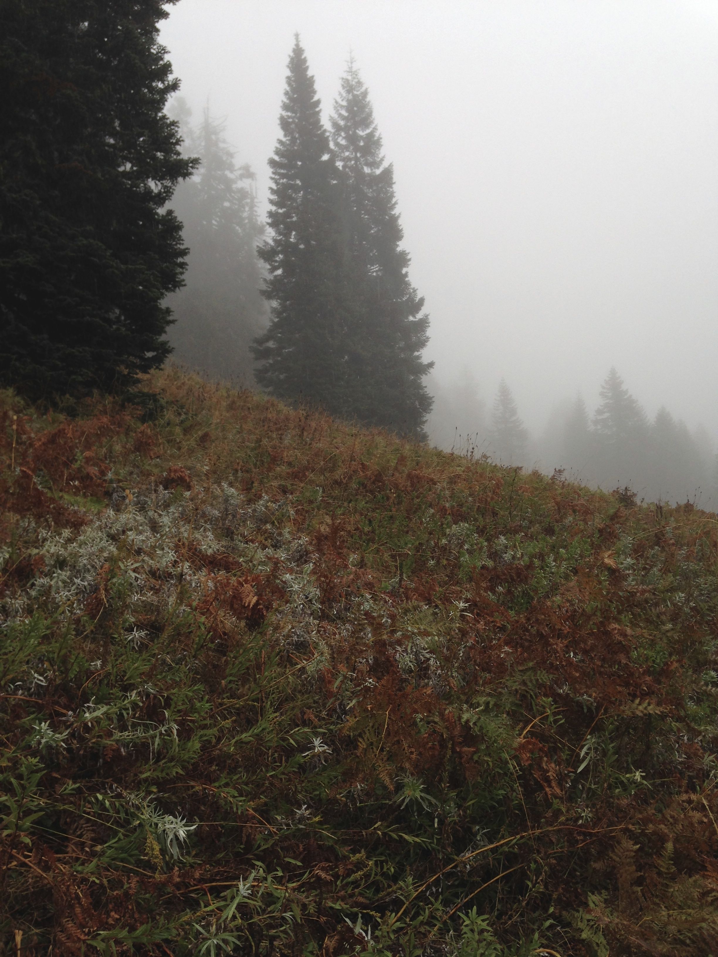
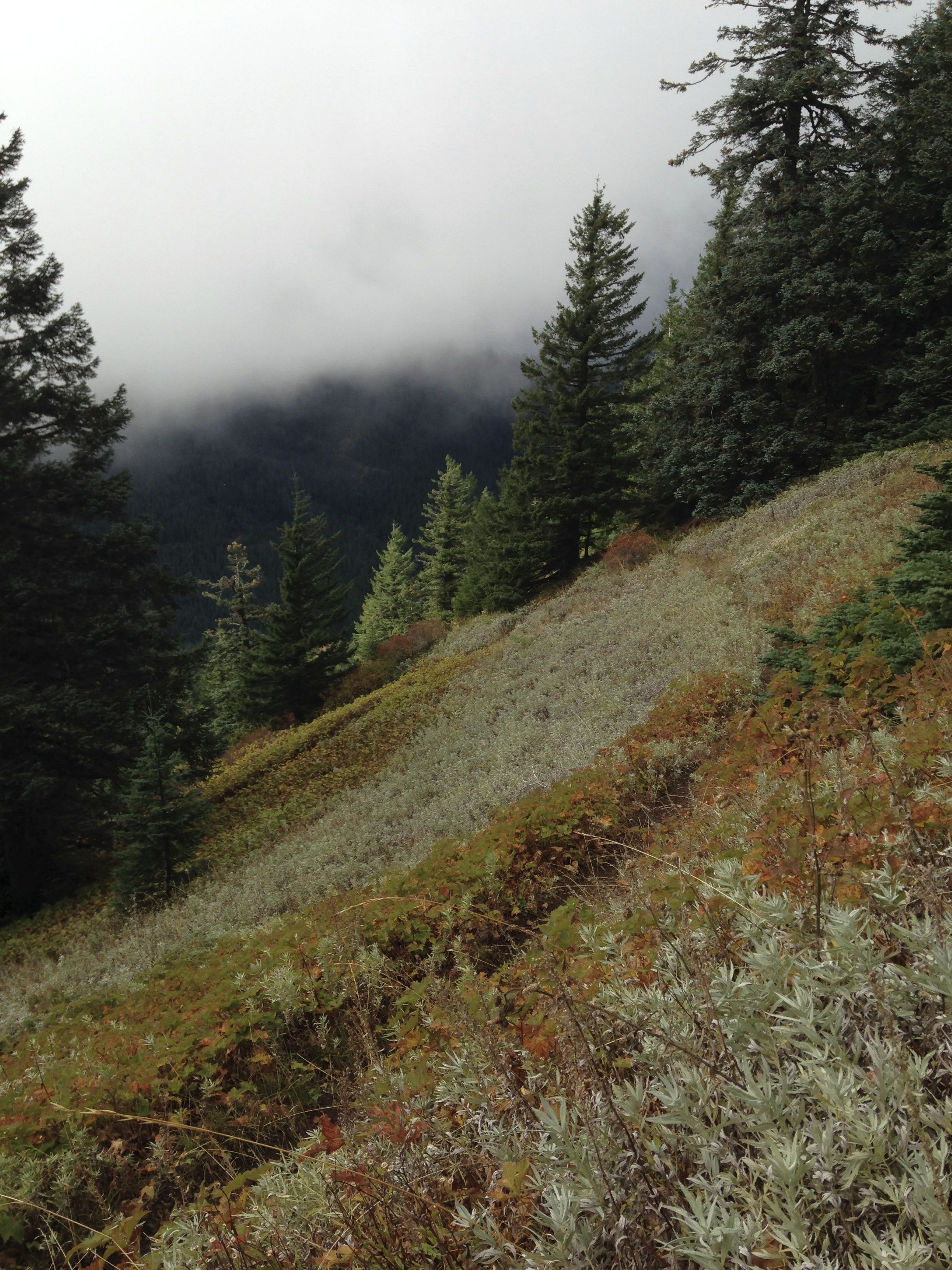
Browder Ridge Trail #3409 is a really nice hike (TH 44.37305,-122.13422). Like the southeast end of Browder Ridge, there are great stands of old growth fir and hemlock at the beginning of the trail. These give way to large alpine meadows that are surely very beautiful in spring. This day they were armpit-high sponges filled with rainfall. I was soaked in minutes from the meadows. At least it was pretty warm.
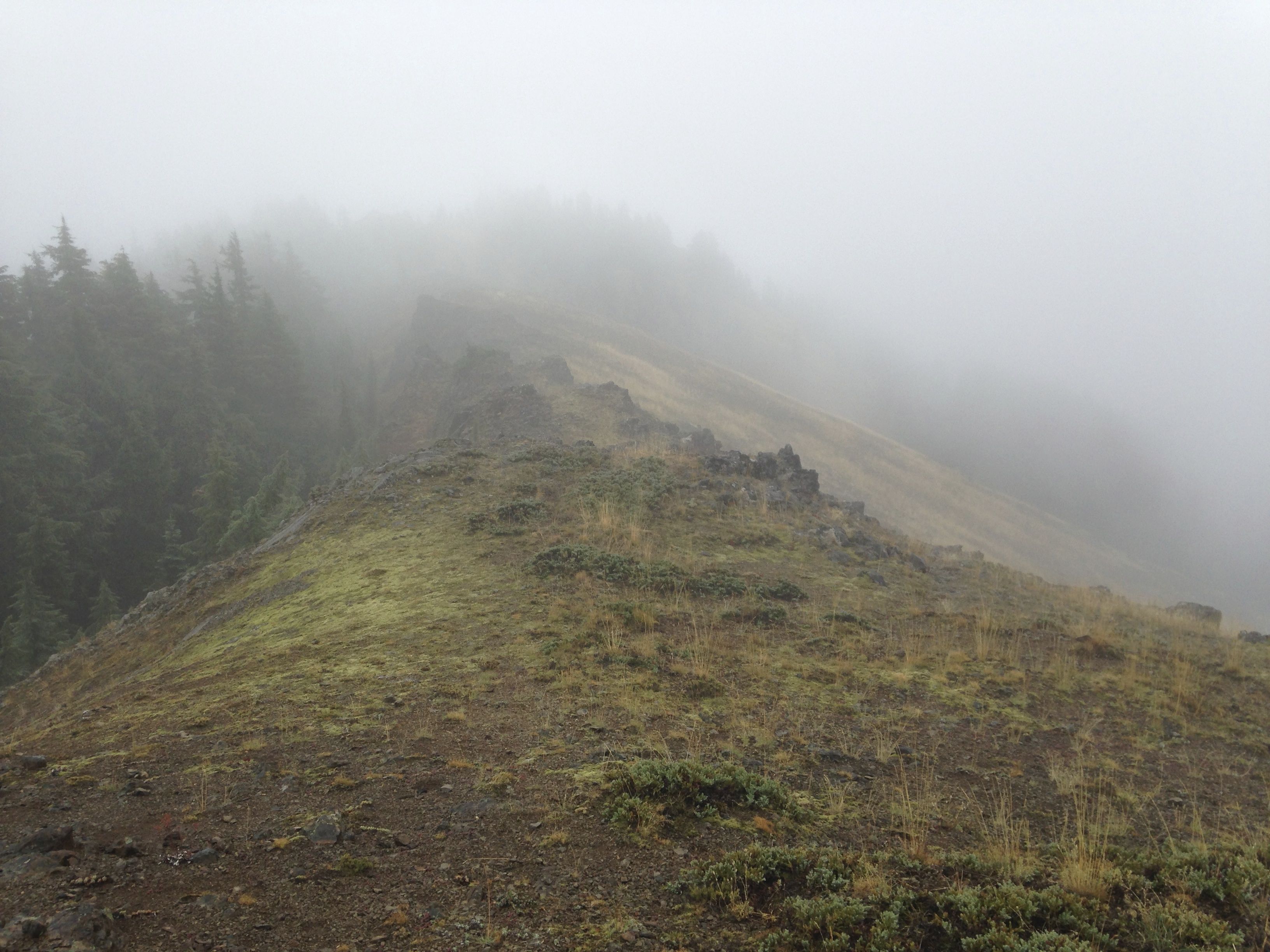
The trail is well maintained and very moderate considering the elevation that must be gained. Continue up the trail until you reach the first saddle in the ridge at roughly 5080ft elevation. At this point, turn sharp left towards the northwest and follow the crest of the narrow ridge.
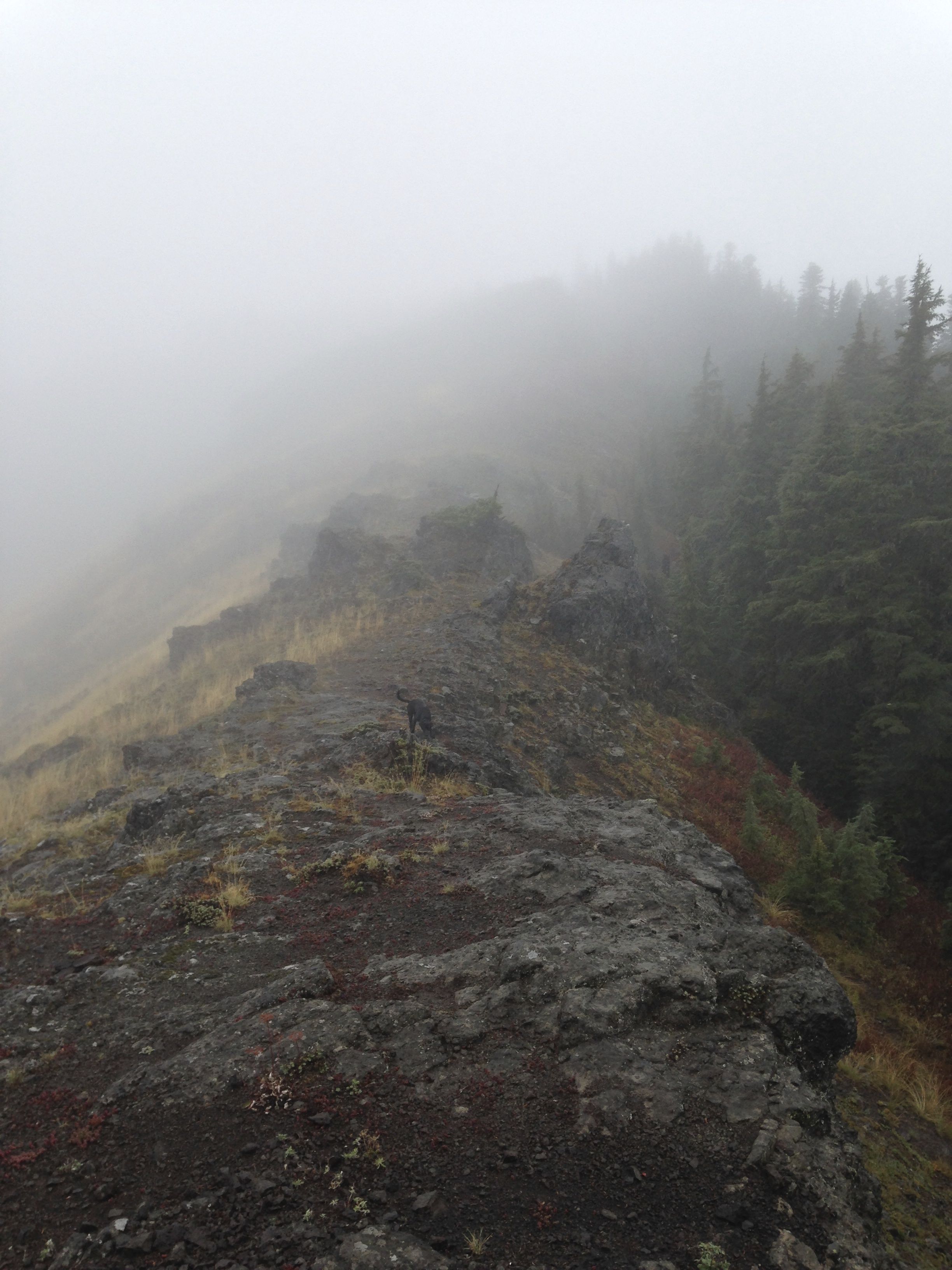
There are several small peak-lets along the ridge. Traverse to the left of the first one. The rest may be climbed or skirted depending on your level of comfort. I suspect the vistas from the ridge are pretty great, but on this day, the visibility was very poor, often less than a hundred yards.
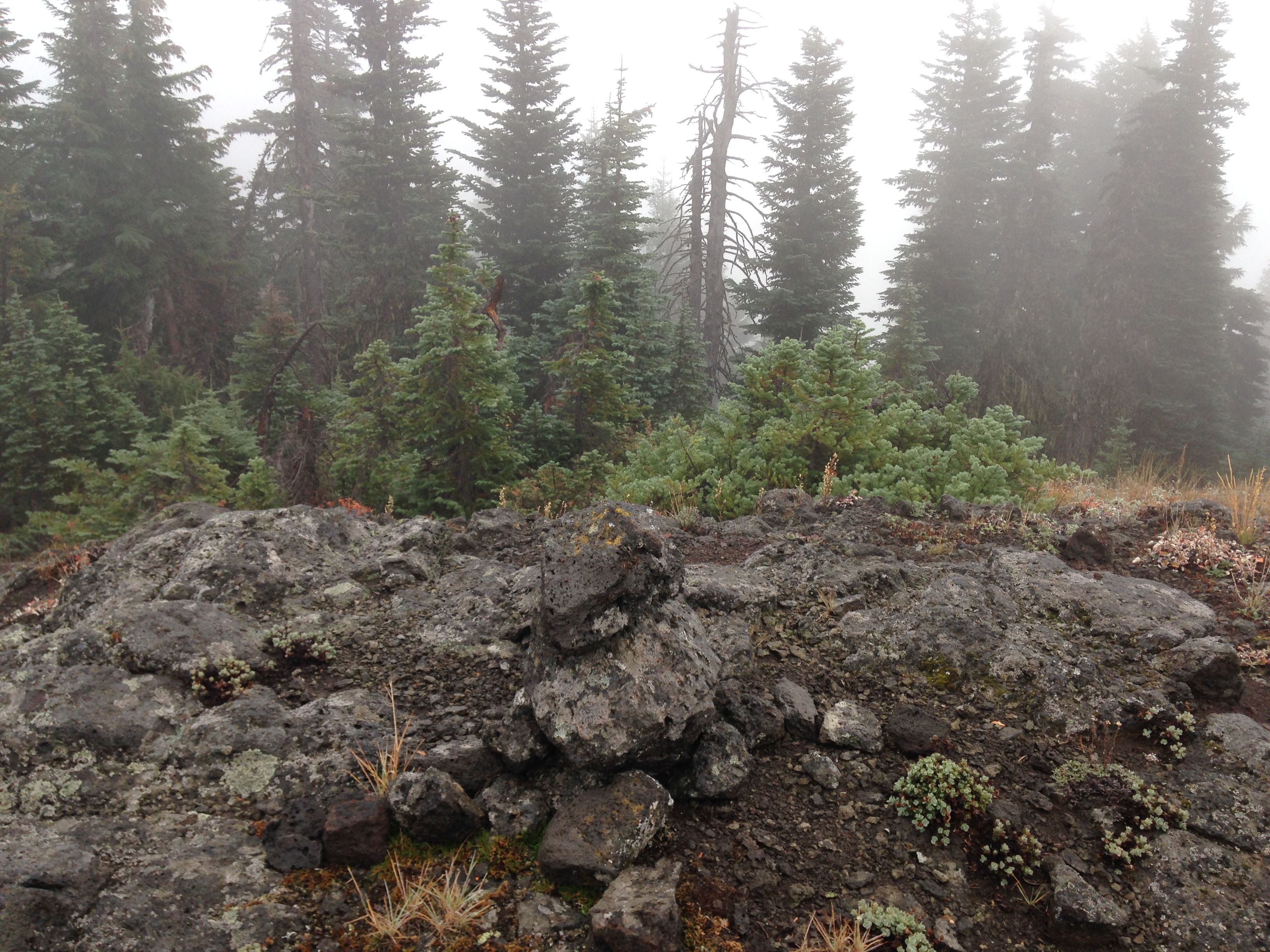
Continue northwest along the narrow ridge. There are several really nice looking operating positions, but they are not on the summit proper. The actual summit is at the end of the ridge, reached after ducking through a final grove of firs.
The summit is quite nondescript. A small cairn is there and a few scrubby trees for lashing a vertical to. Upon reaching the summit, the weather was very windy, rainy and about 45 degrees. Really nasty. I deployed my faithful tarp using the support for the EFHW. When it's really nasty, its shelter first, radio second.
I hunkered underneath the tarp which was flapping in the wind but was shedding rain well. The radio gods were in a good mood. The ATS-3A was tearing up 20 meters nicely. Finally, Cooper, my SOTA dog, gave me that look that says, "time to get outta here buddy". He had finally scooted underneath the tarp to escape the weather and was licking me furiously on the face.
I often wonder what chasers think when activators oddly pause midstream or send gibberish CW. I hope they activate as well and can understand what its like to send CW when being face-licked by 75 pounds of love.
After 20 or so minutes, I was really chilled. We busted out of the summit and headed down the hill. It was one of those, "throw everything in the pack and I'll sort it out later" times. The weather had improved slightly, but was still pretty nasty.
Back at the car, the sun came out for 15 minutes and that felt really good. We had a bite of lunch and headed over to Iron Mountain for a 2nd activation for the day. These two peaks would be an excellent pair for a full day SOTA expedition.
I really want to come back here in good weather. I think its a another great spot to activate; easy to get to, good views, good hike. Browder Ridge delivers the SOTA goods.