I've spent many wonderful fall weekends black powder hunting near Suttle Lake west of Sisters, Oregon.
I've hunted the slopes of Cache Mountain as well, so activating Cache Mountain has long been on my mind.
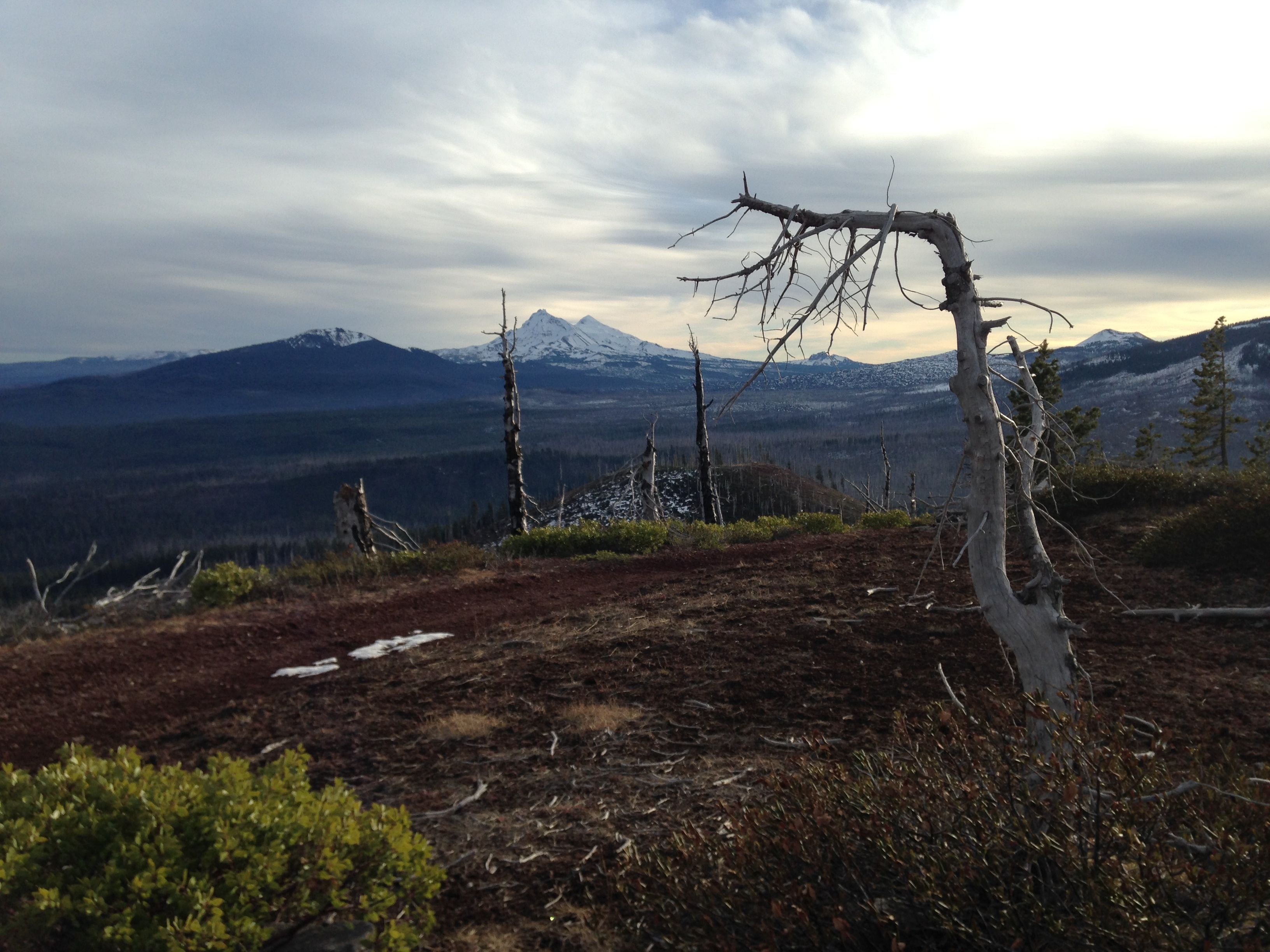
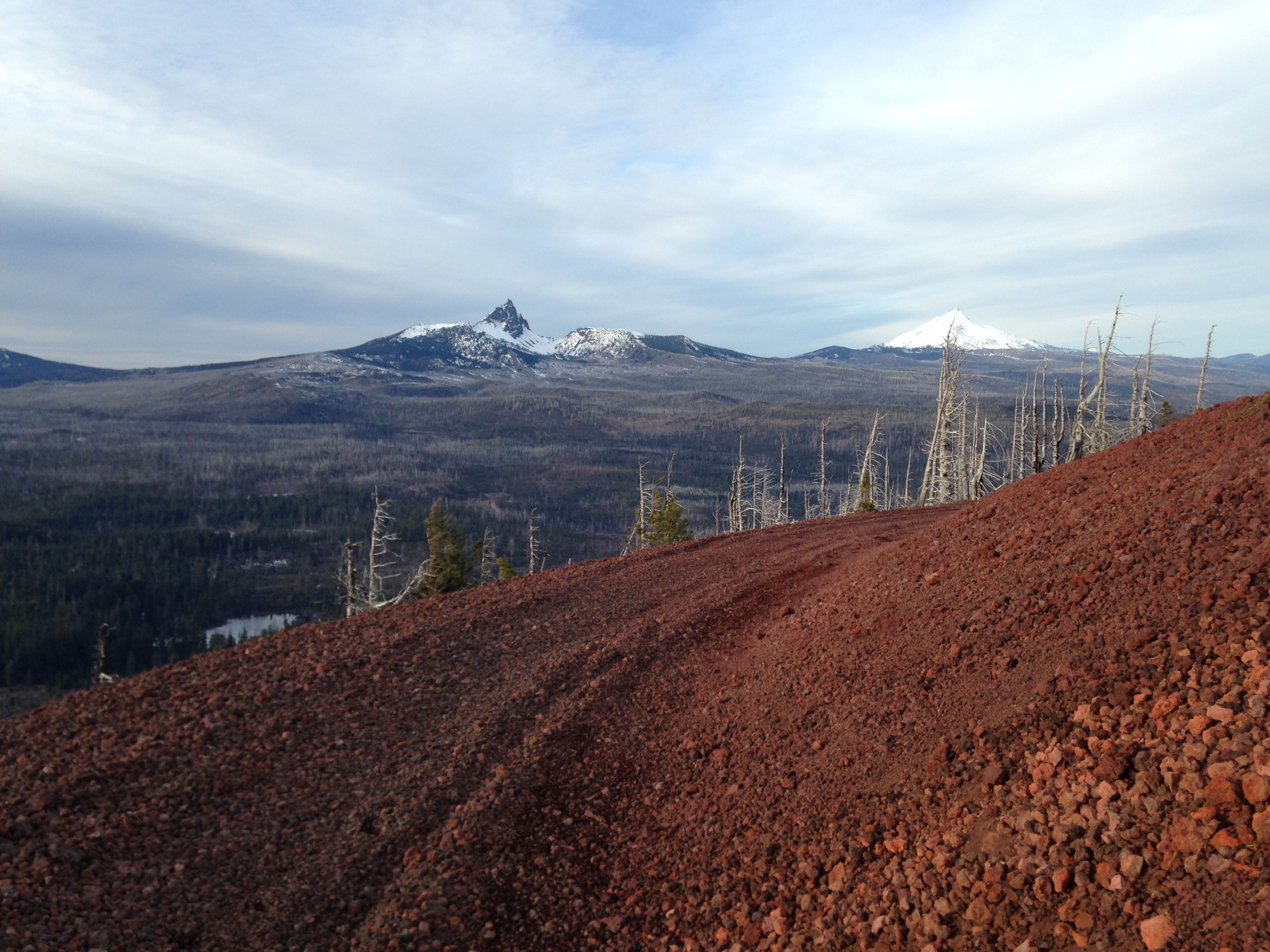
The B&B complex fire of 2003 devastated the area and the game in the area seems non-existent. Still,
I couldn't wait to go back, this time with smaller caliber hunting gear.
The access to Cache Mountain is via US Hwy 20. The turn off onto Old Santiam Wagon Road, FS 2067,
is about one mile east of the large right-hand turn after passing Suttle Late (eastward travel).
After turning onto 2067, stay to the left, not going towards Camp Tamarack. Proceed SW on FS 2067.
After 5 miles you will reach an intersection at the Cache Station Toll Station. This is a historic
site.
Cache Creek Toll Station was the last toll station built on the Santiam Wagon Road and the only
tollgate east of the Cascade Crest. It served as a place to collect fees for passage until 1914. It
also served as a road house with food, lodging and supplies available for purchase by early travelers.
At the toll station there is a sign and a maze of roads leading off in different directions.
From the Toll Station, FS 2067 turns into Road 500 at the the intersection of FS Road 1028. Proceed
on Road 500 roughly 2 miles at which point Road 550 comes in from the right heading up Little Cache
Mountain. Until this point, most passenger cars will have little trouble. Once on Road 550, you need
a high-clearance 4WD vehicle. Road 550 becomes narrow with many rocks that glisten with metal that has
been deposited by the unwary. Continue on Road 550 till you intersect with Road 900. Take the left fork.
Proceed about a quarter of a mile further and park your rig at the flat area where Road 900 intersects
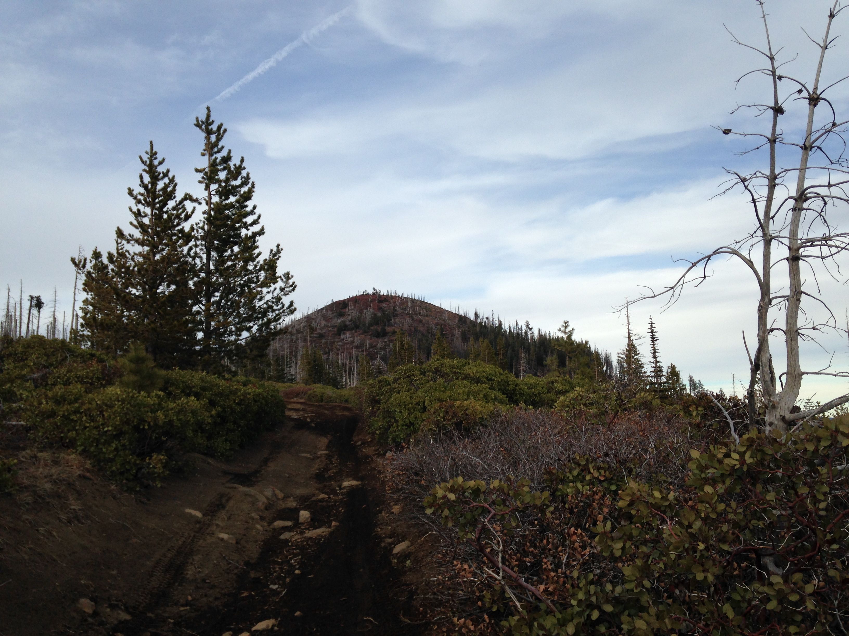
with road 980. From here, you can see the cinder colored peak of Cache Mountain straight ahead. Its about
a half mile walk to the summit from here. Just follow road 900 to the summit.
The summit is fairly wide and non-descript with the remains of a lookout tower. There are plenty of
medium size trees on the summit for antenna supports. Views are excellent. Cell coverage is also
excellent since the cell towers on Hoodoo Butte are line-of-site. Cache Mountain is a good peak to
activate along with some others in the area. If you take Road 500 further, you reach the Big Lake area
with Sand Mountain and CM-132 close by.
Cache Mountain was a great place to visit again. It was sad to see all the beautiful woods gone with
manzanita bush filling the void. Maybe someday a long time from now, the deer and elk will return.