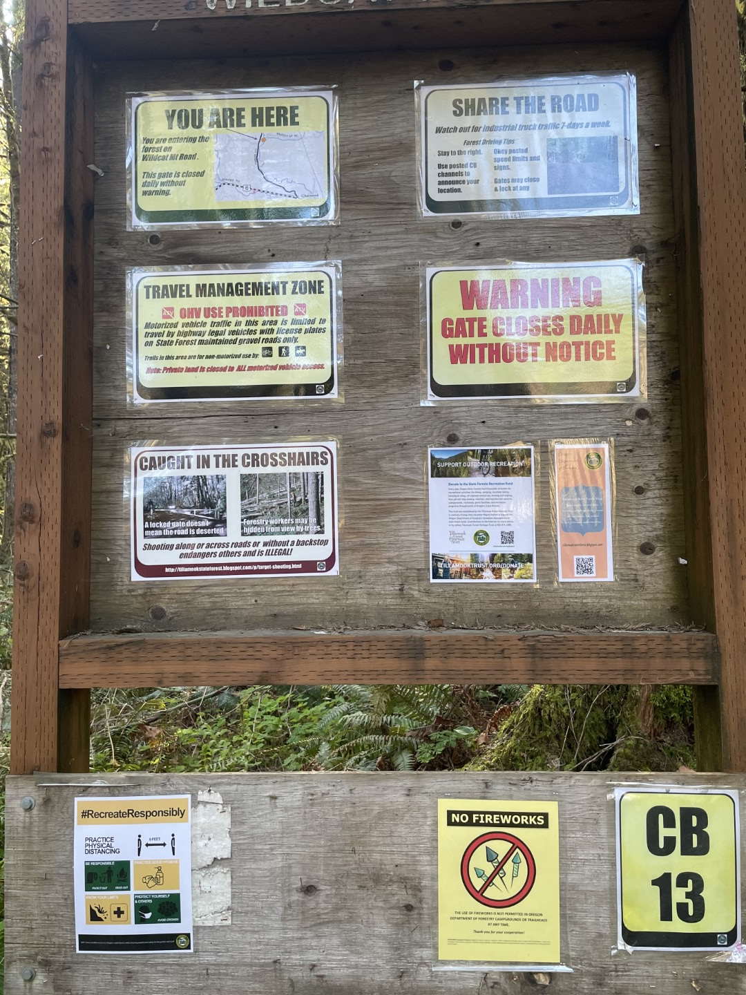
Previous writeups and activations have accessed Wildcat via the Stimson parcel that starts at Northwest Hayward Rd. Email communication with Stimson confirms that they have closed this parcel to public access, and activators should not use this path. Signage has been mixed, but the core issue is firearms use in the area that bothers the private neighbor. According to Stimson, "The entry point is actually on their property and we try to be accommodating with our neighbors."
All is not lost! Fortunately the summit itself, and a complete path of access, is on public state land.
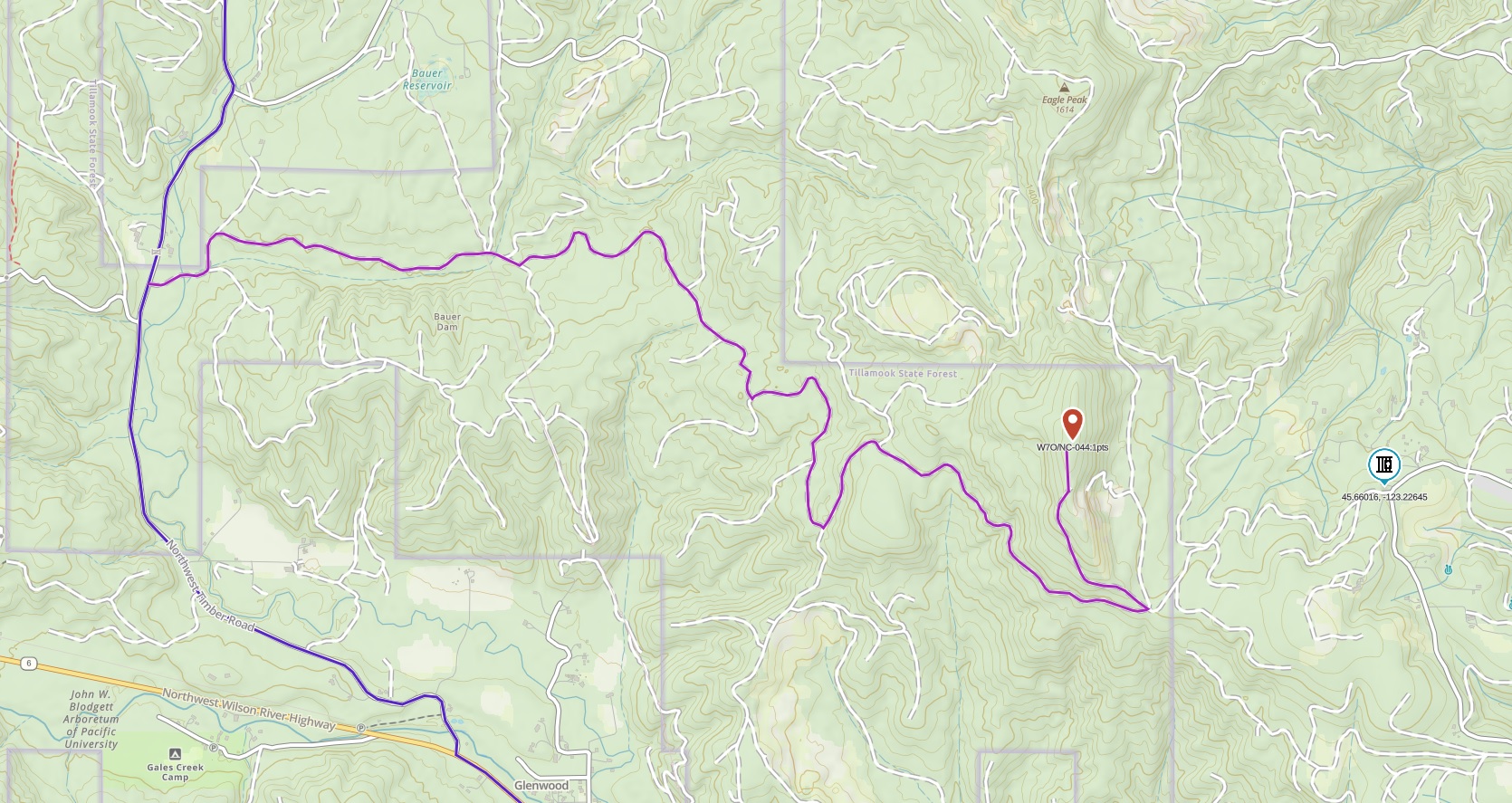
- Start on NW Timber Rd, north 1.7 miles from Hwy 6 or south 8 miles from Hwy 26. Park at the turnoff and gate at (45.66792, -123.29212). There is room here for at least 4-5 cars fully off the road; depending on season and time of day you might find 0-2 others already parked.
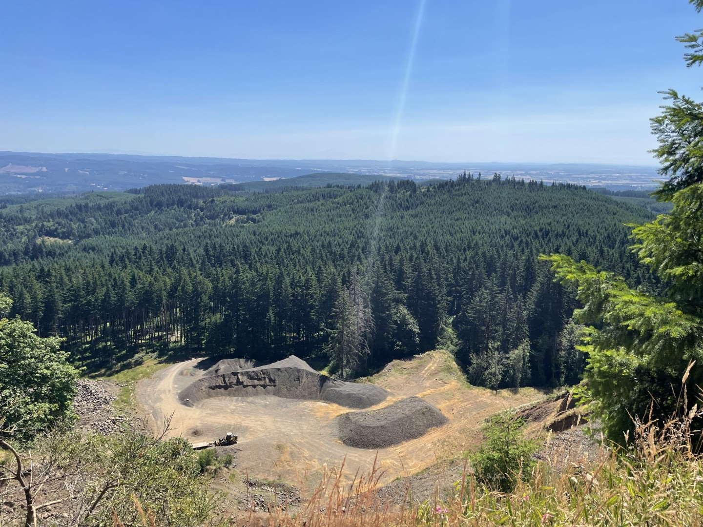
- Hike or bike along the gated but public Tillamook State Forest road about 4.5 miles to the summit. This route is mostly the obvious main road, until you are at the base of the summit after about 4 miles and take a sharp left at (45.65590, -123.23895) for the final ascent. See attached route snaphot, GPX available on request.
The road is gravel and well graded, mostly shaded by the forest with patches of exposure; there are a number of steeper slope sections that might require hike-a-bike if you don't have iron legs and low gears. It's a lot of fun to go down though. It would also be a pleasant hike, as long as you're prepared for gravel walking the whole way. On a pleasant summer day the road was surprisingly well traveled; we passed a few parties hiking or biking but nobody else at the summit.